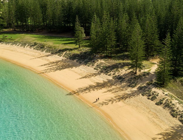
 Norfolk Island
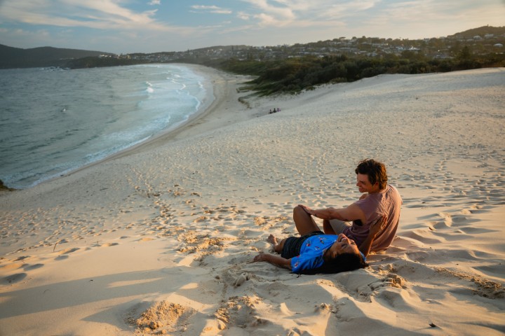
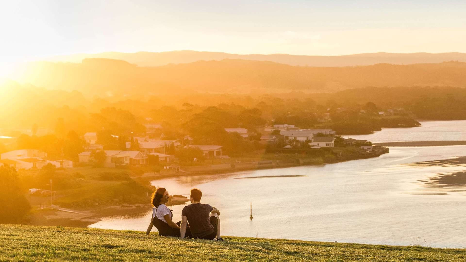 South Coast
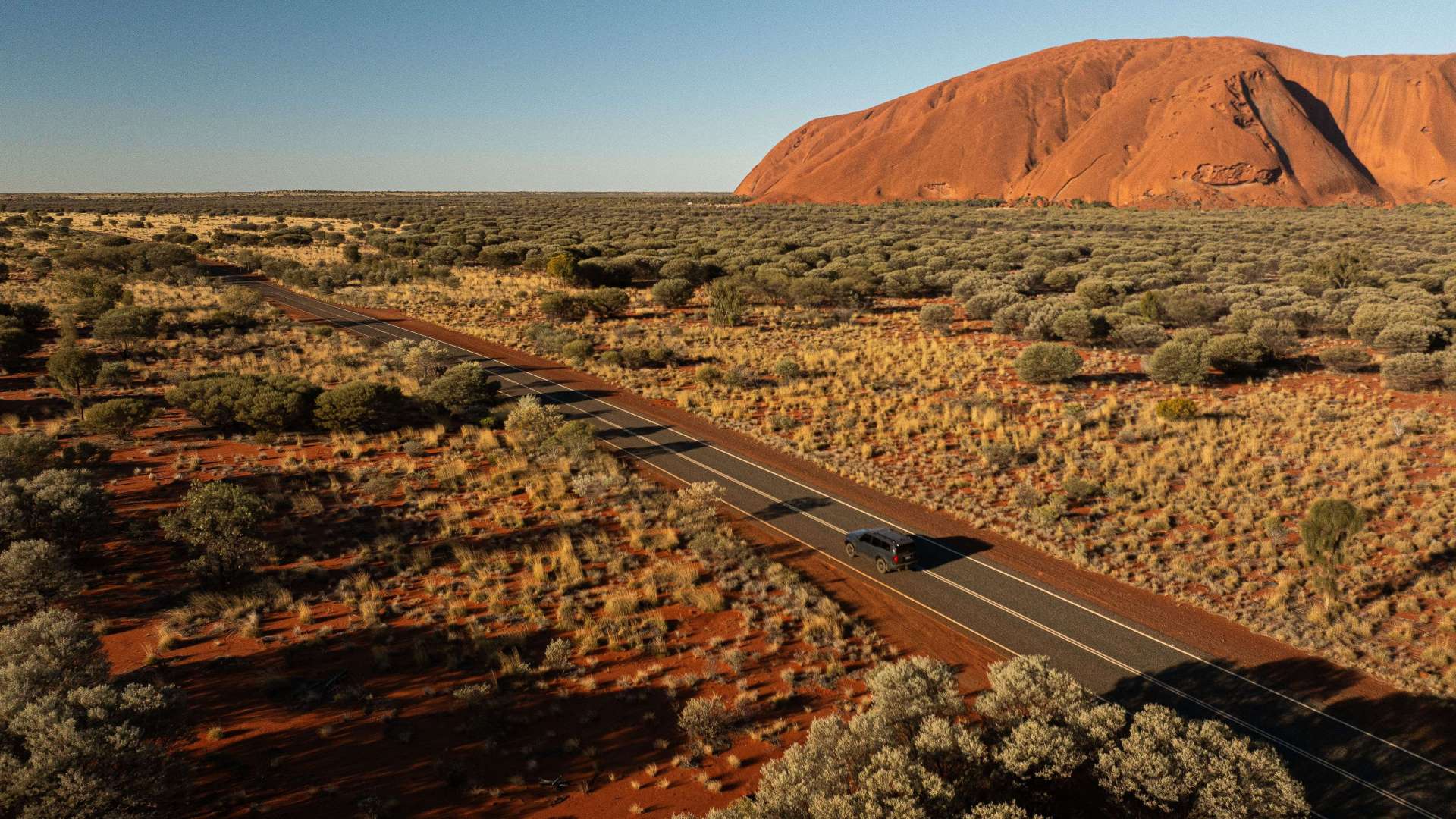
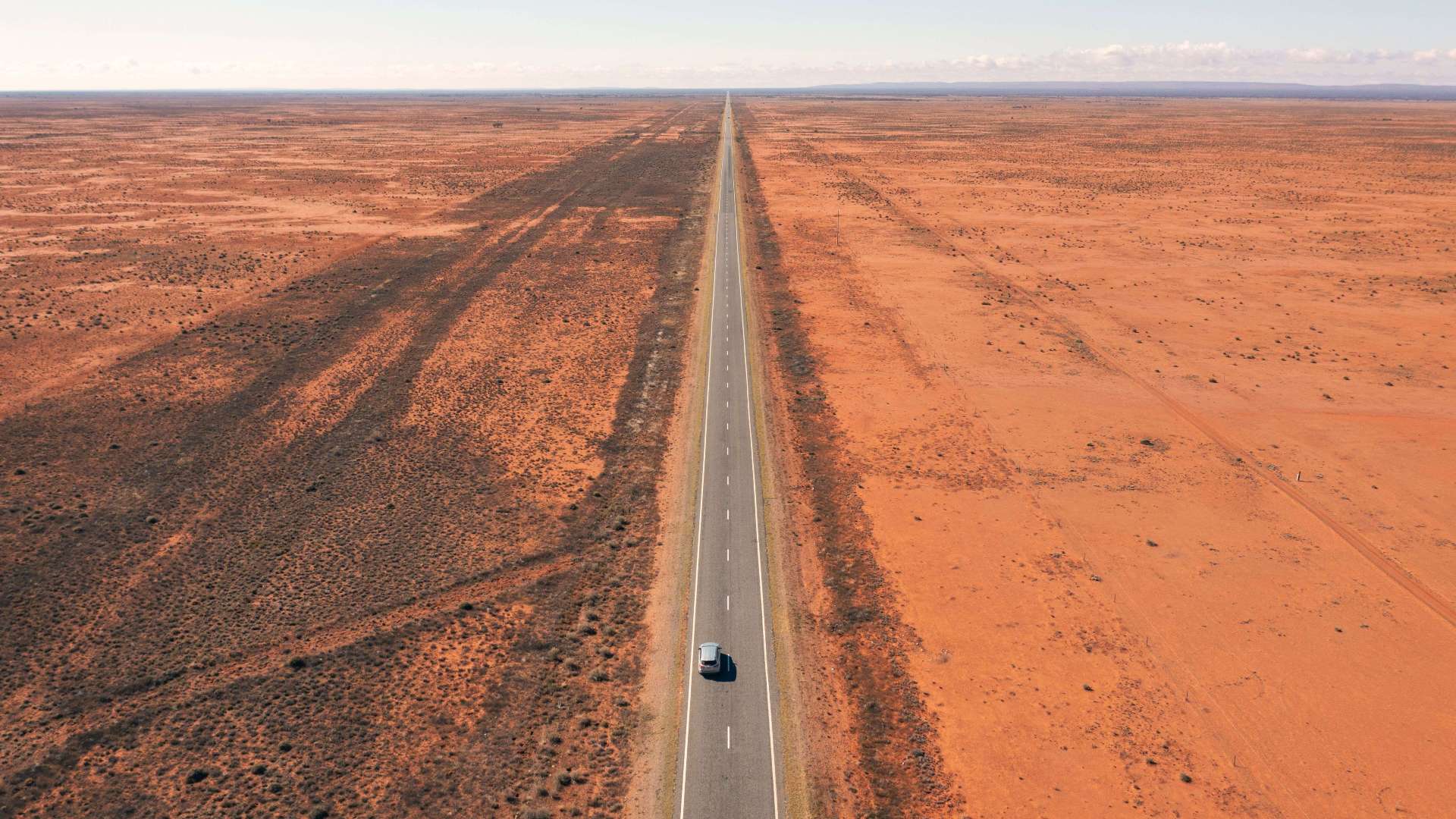 Outback NSW
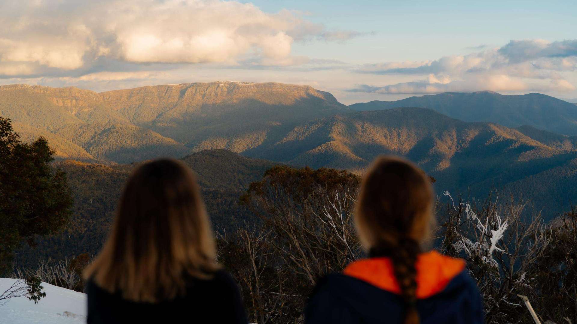
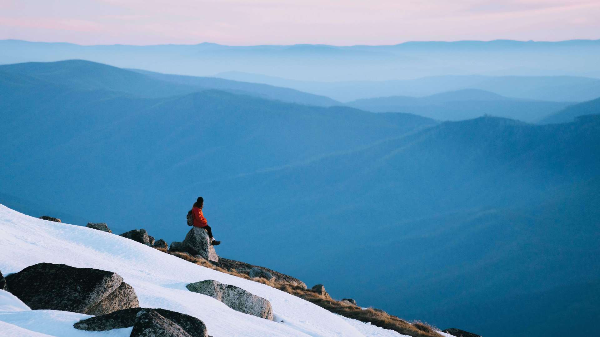 Snowy Mountains
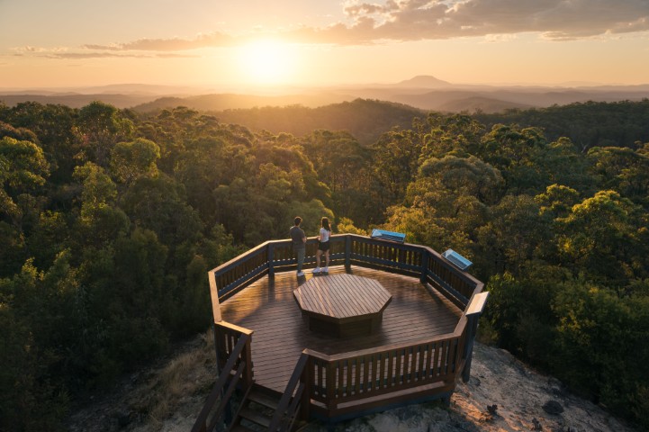
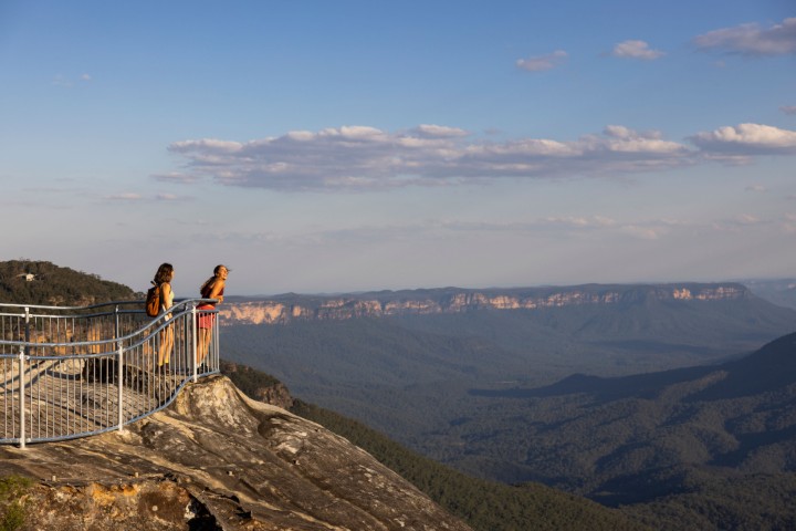 Blue Mountains
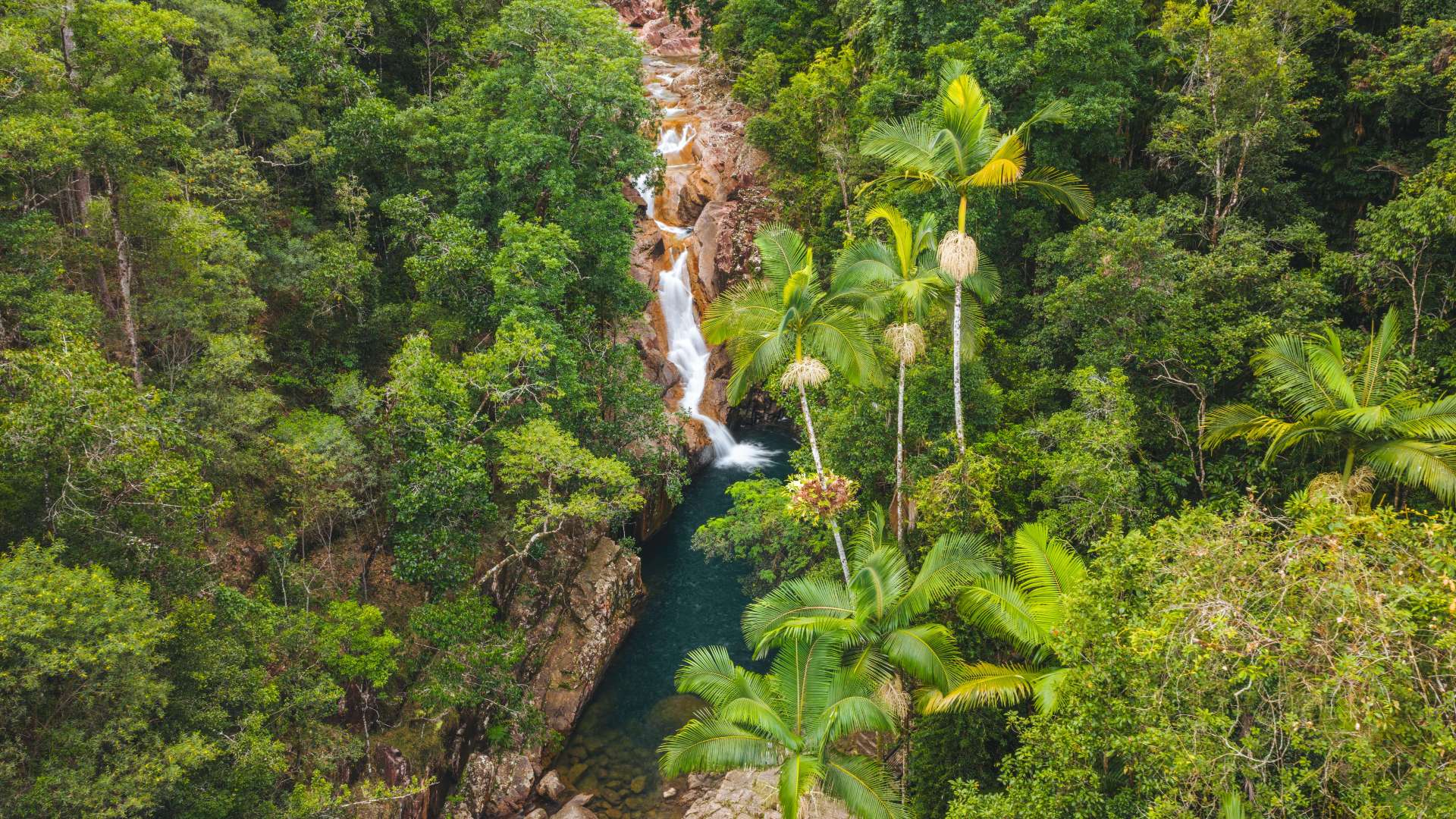
 North Coast
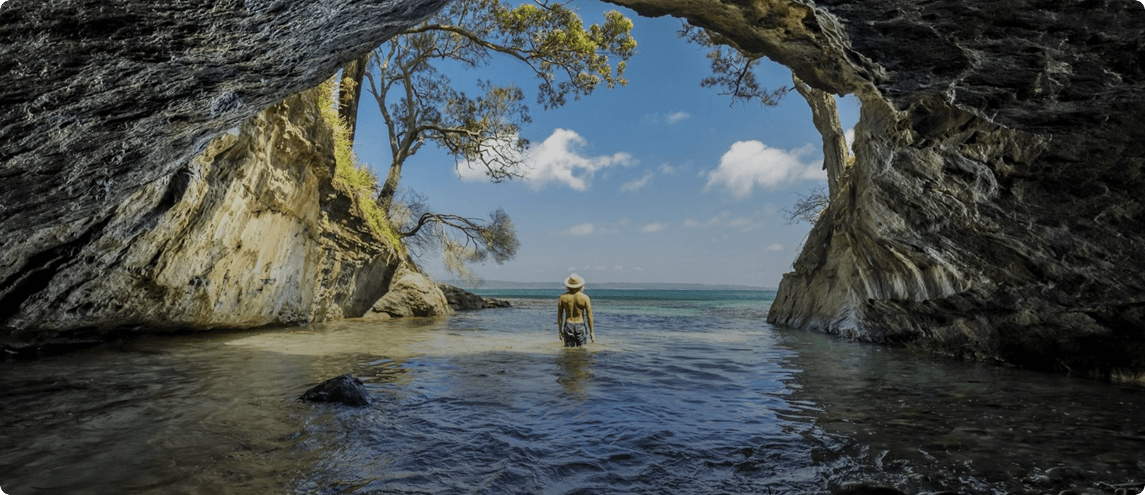
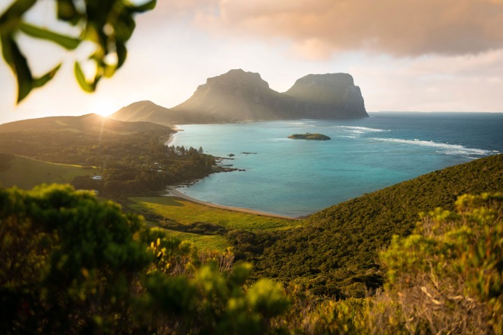 Lord Howe Island
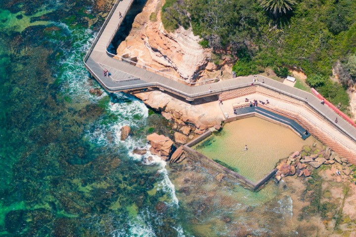 Central Coast
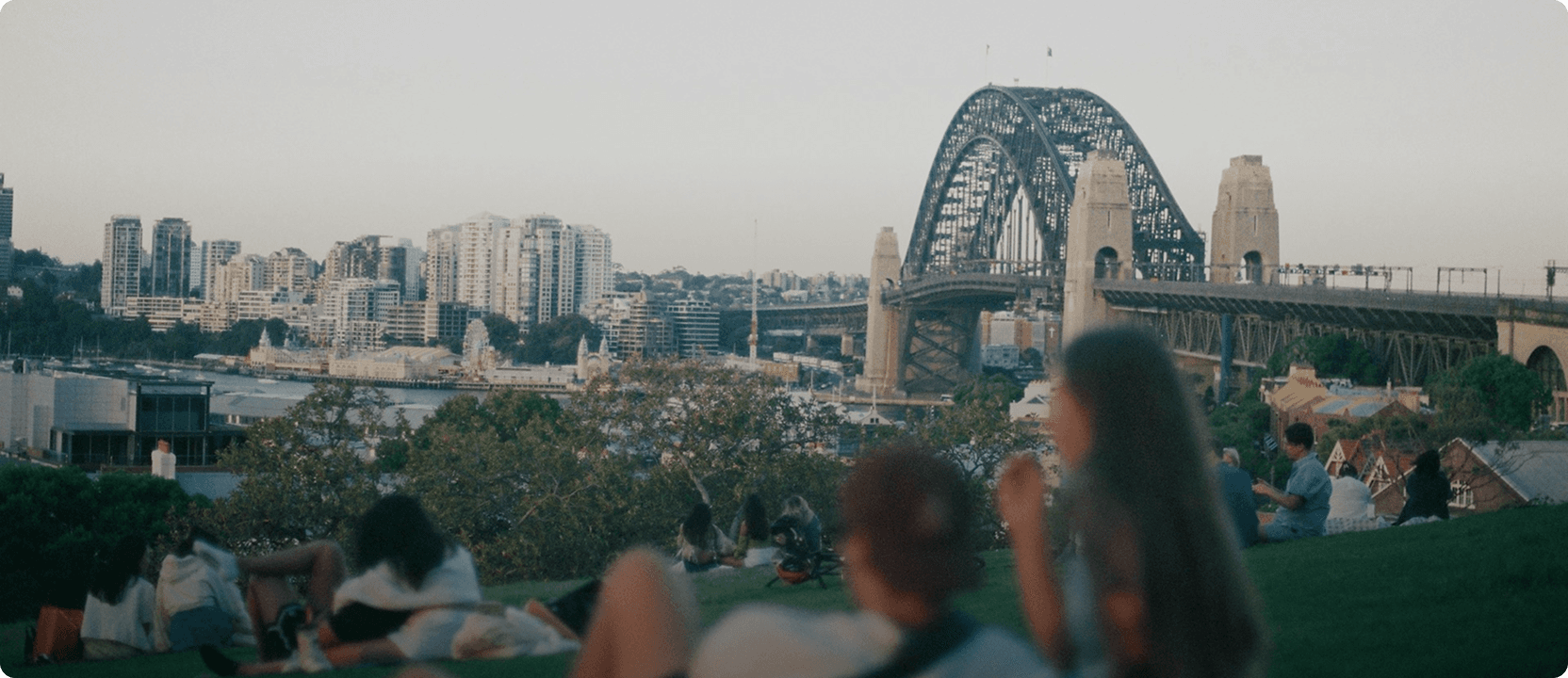
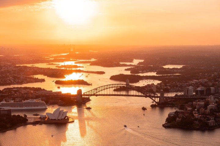 Greater Sydney
 Country NSW

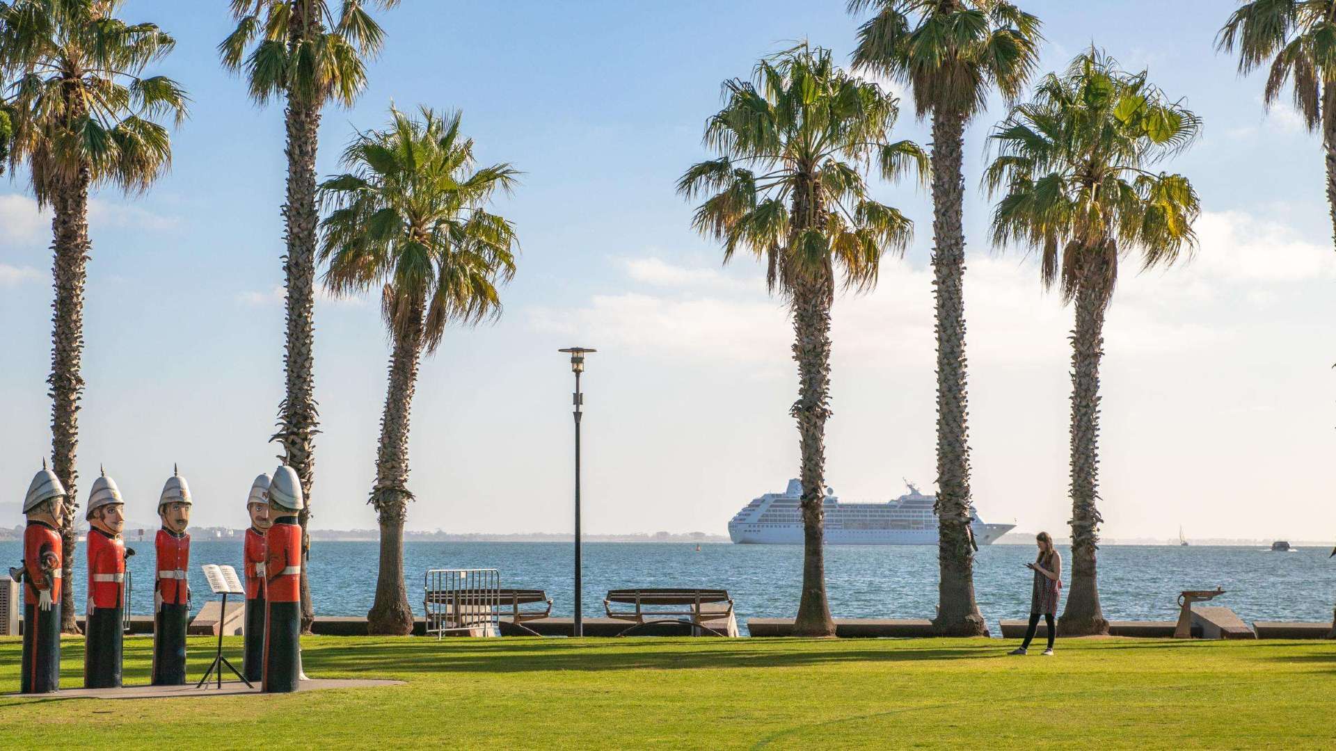 Geelong & the Bellarine
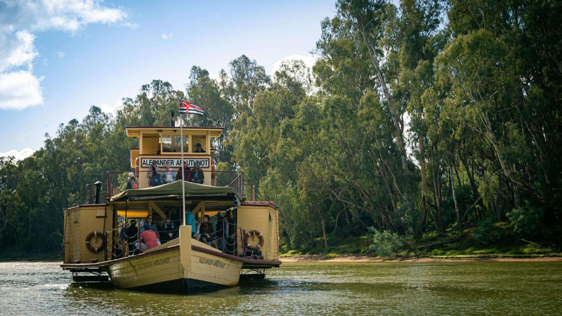 The Murray
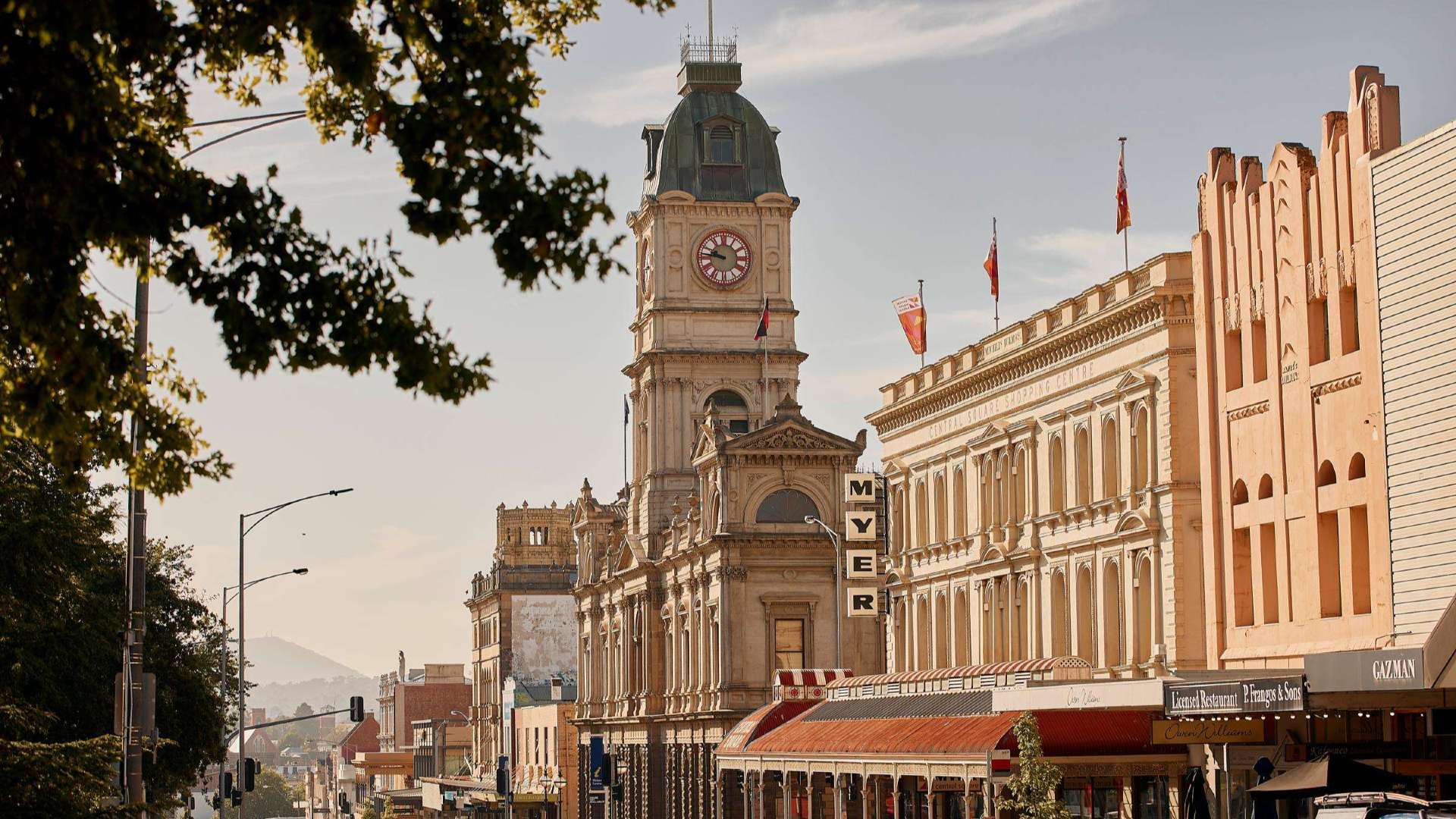 Goldfields
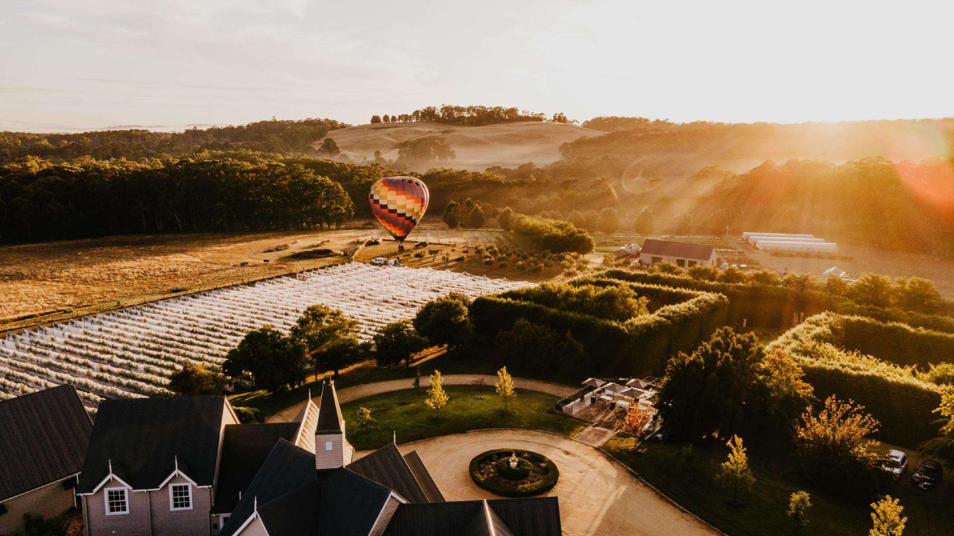 Daylesford & the Macedon Ranges
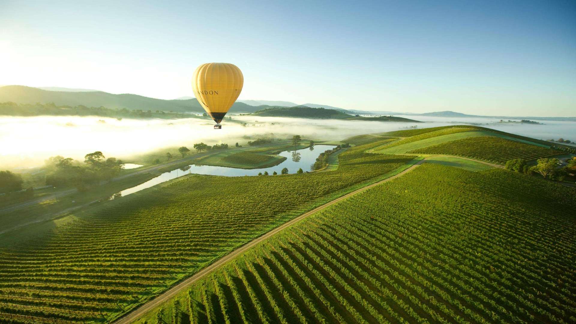 Yarra Valley & Dandenong Ranges
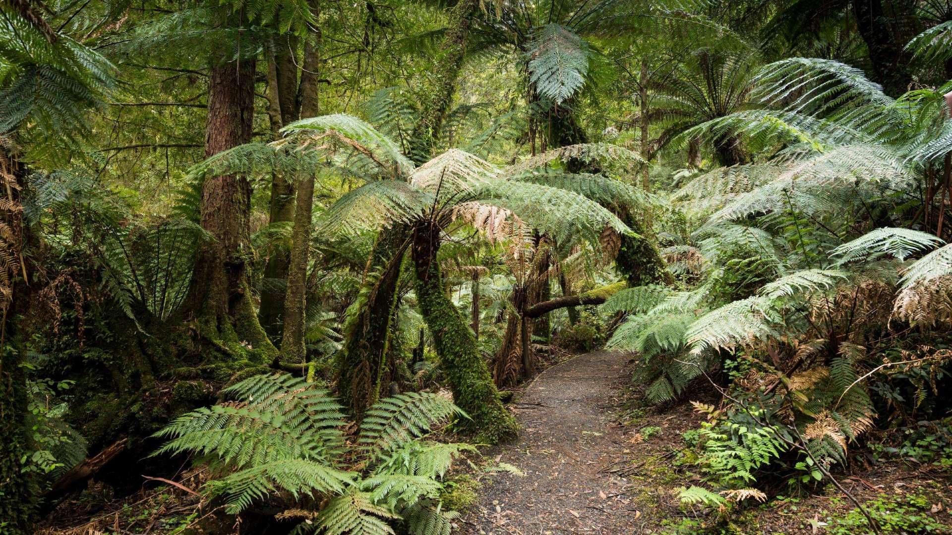 Gippsland
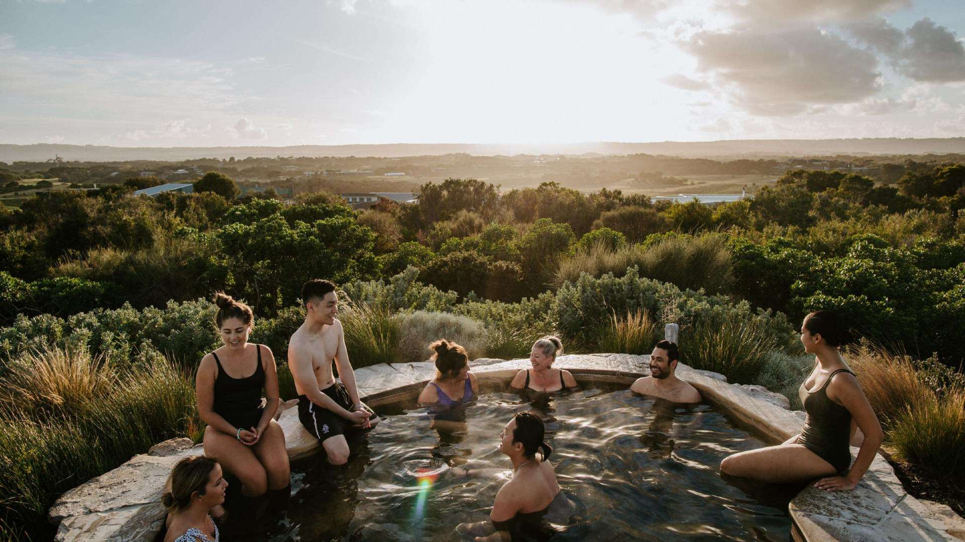 Mornington Peninsula
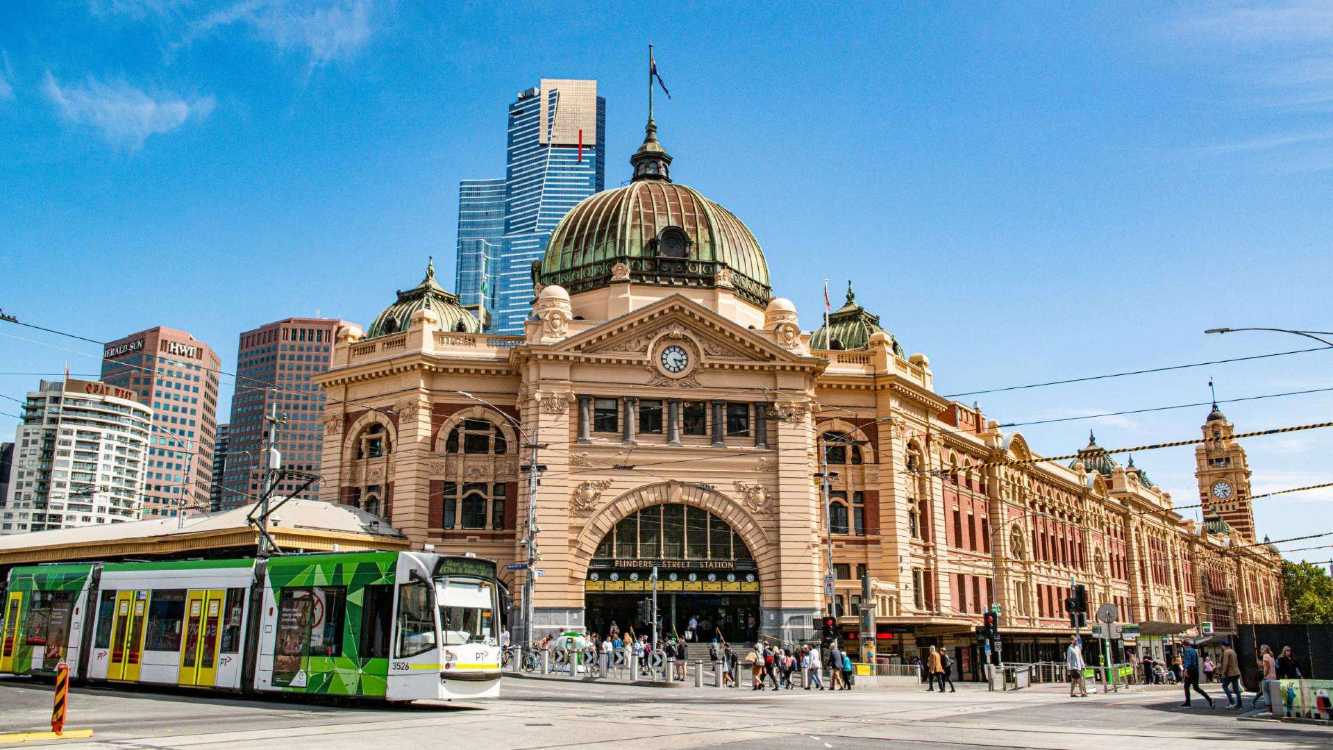 Melbourne
 High Country
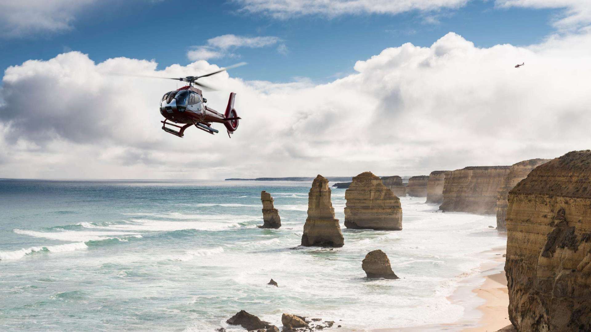 Great Ocean Road
 Sunshine Coast Region
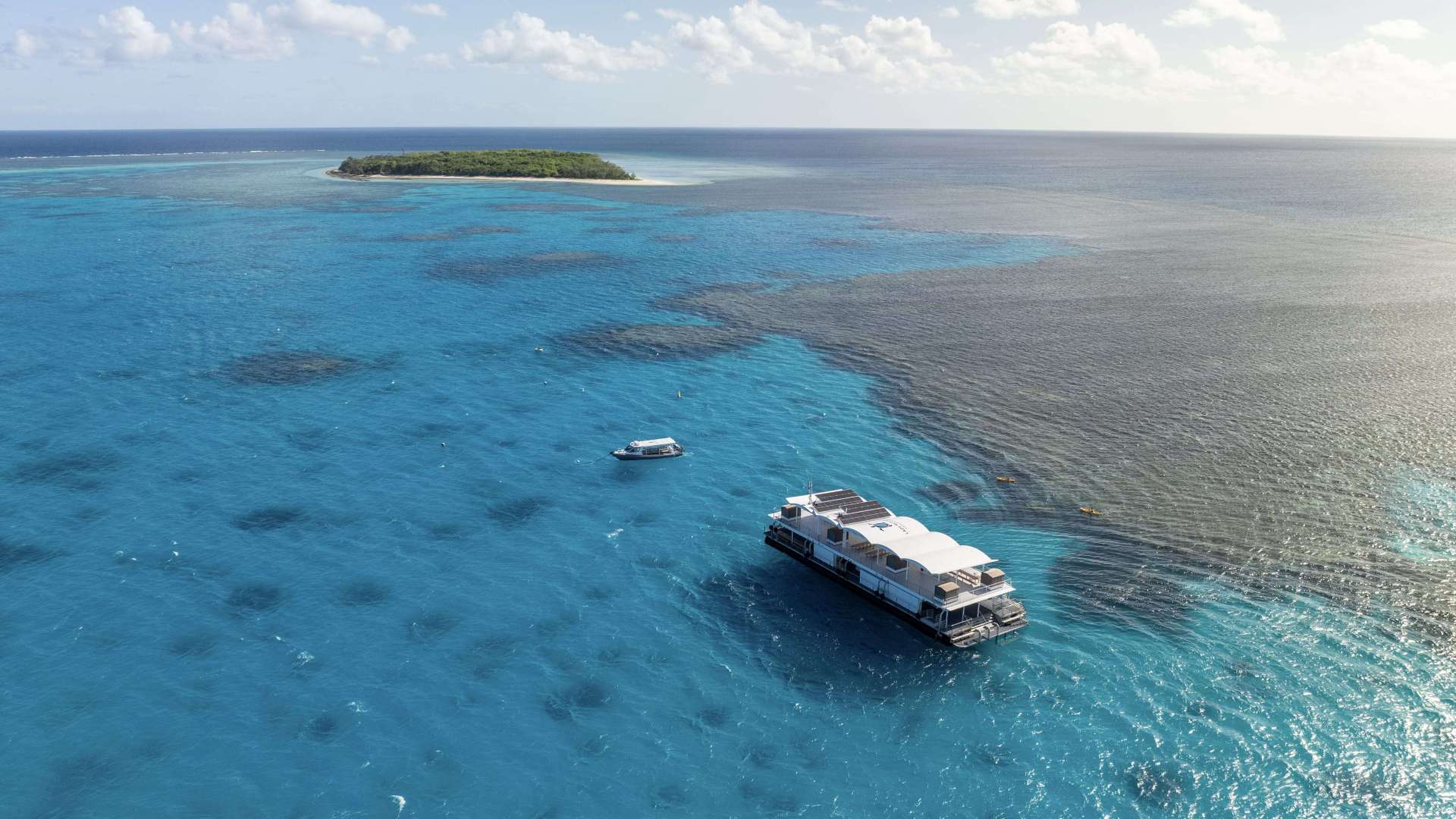
 Mackay Region
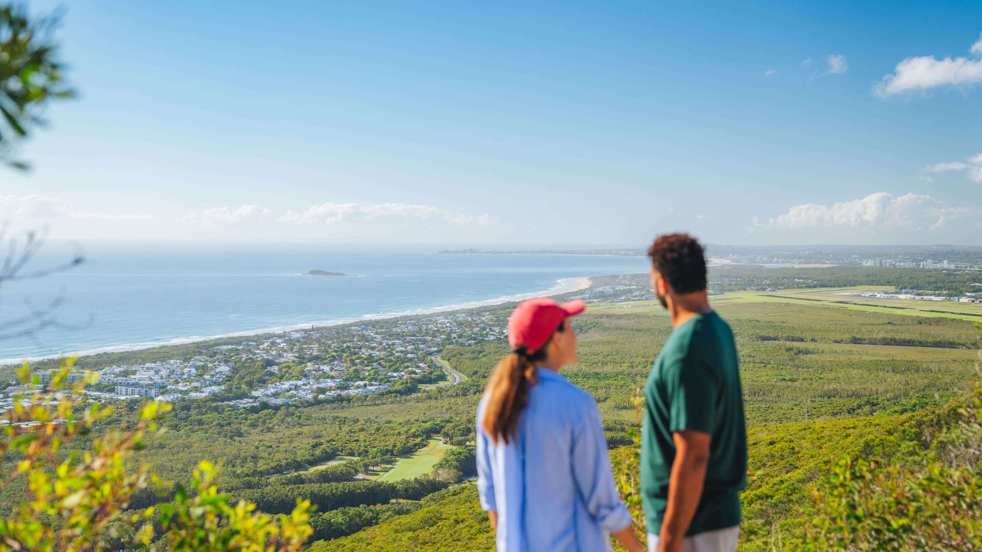
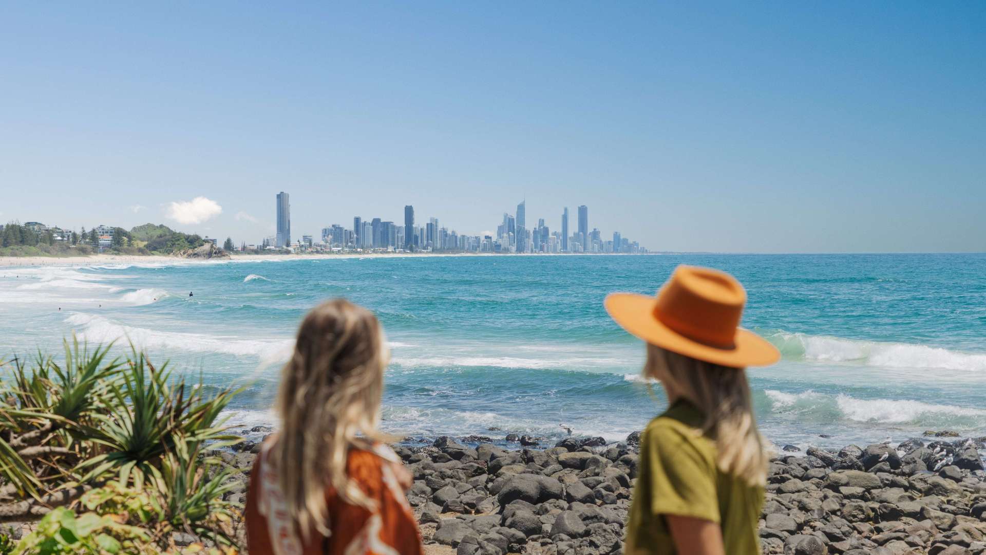 Gold Coast Region
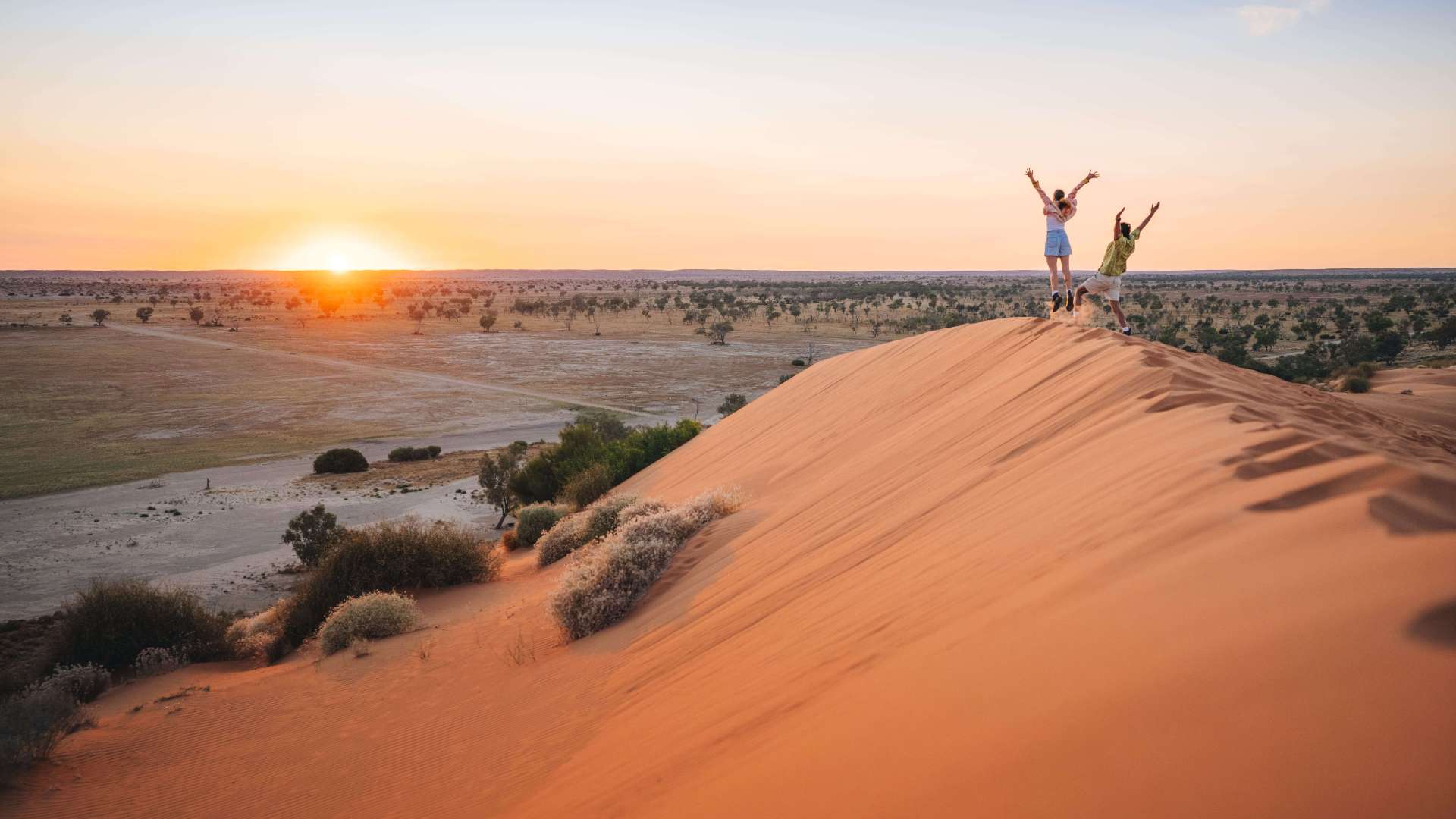 Far West
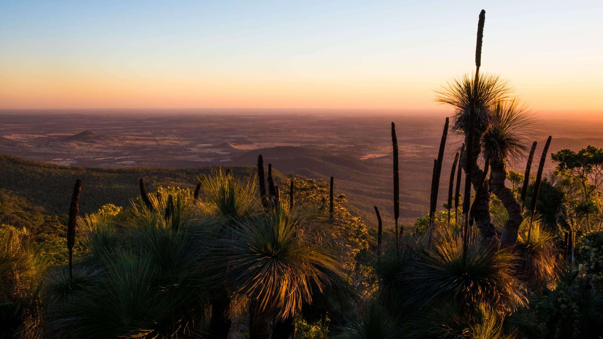 Western Downs Region
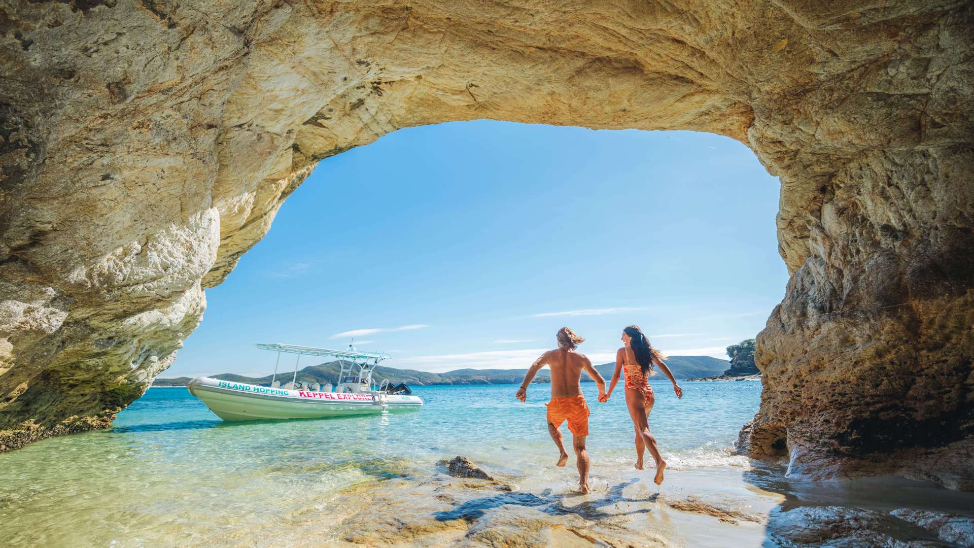 Capricorn Region
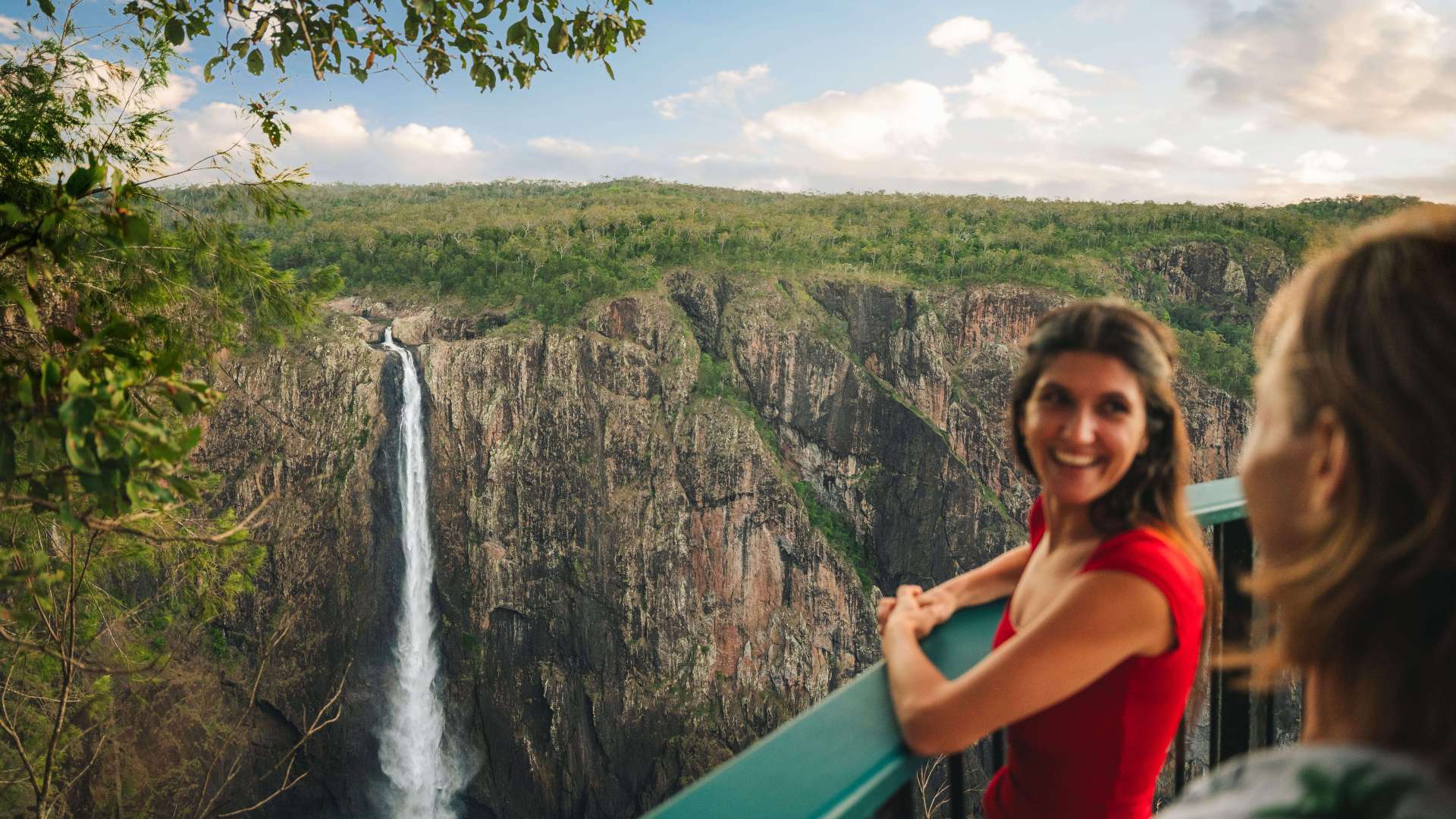 Townsville Region
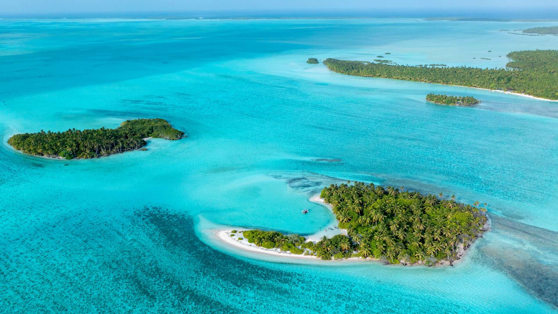
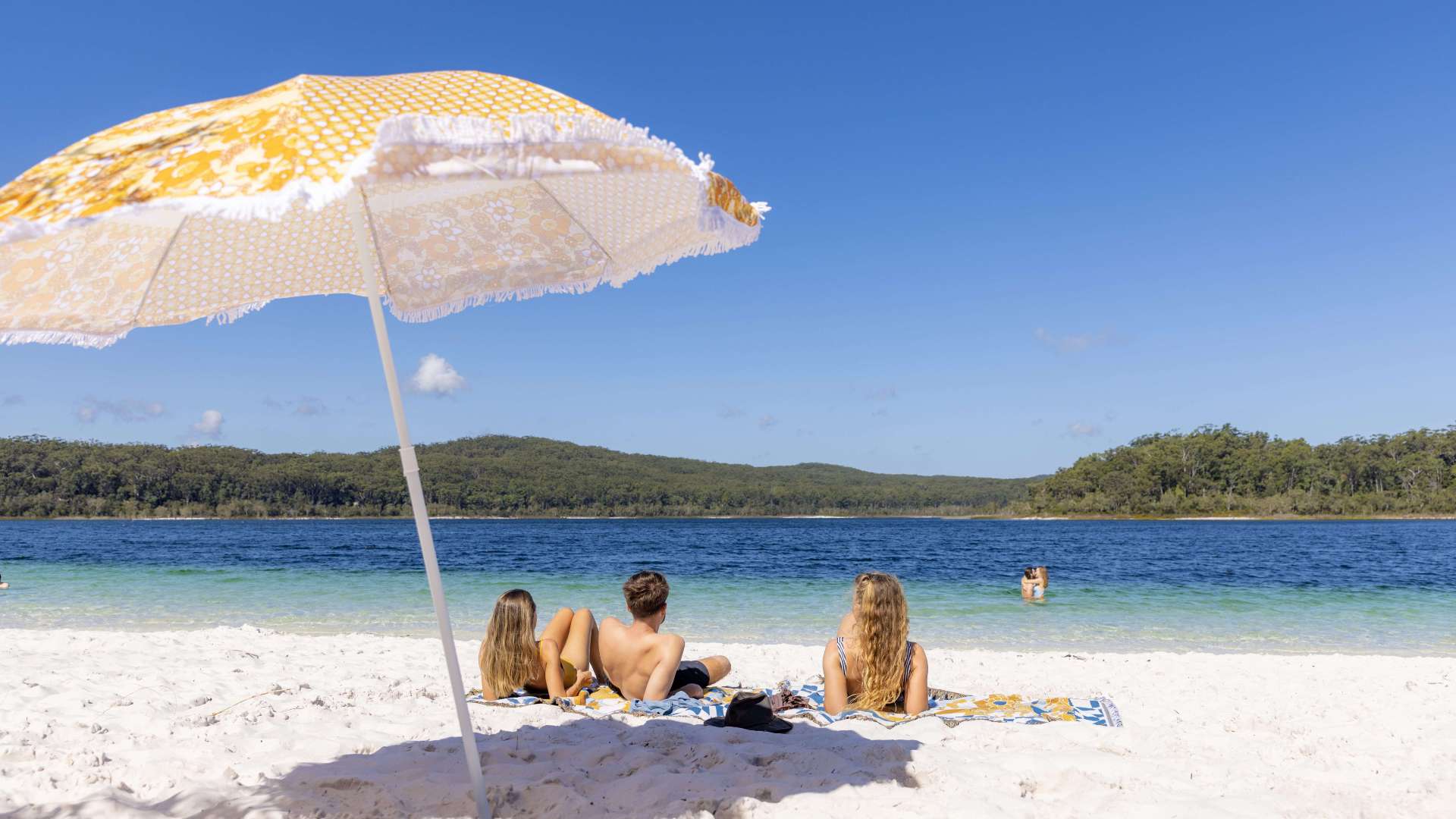 Fraser Coast Region
 Gulf Savannah
 Gladstone Region
 Cocos (Keeling) Islands
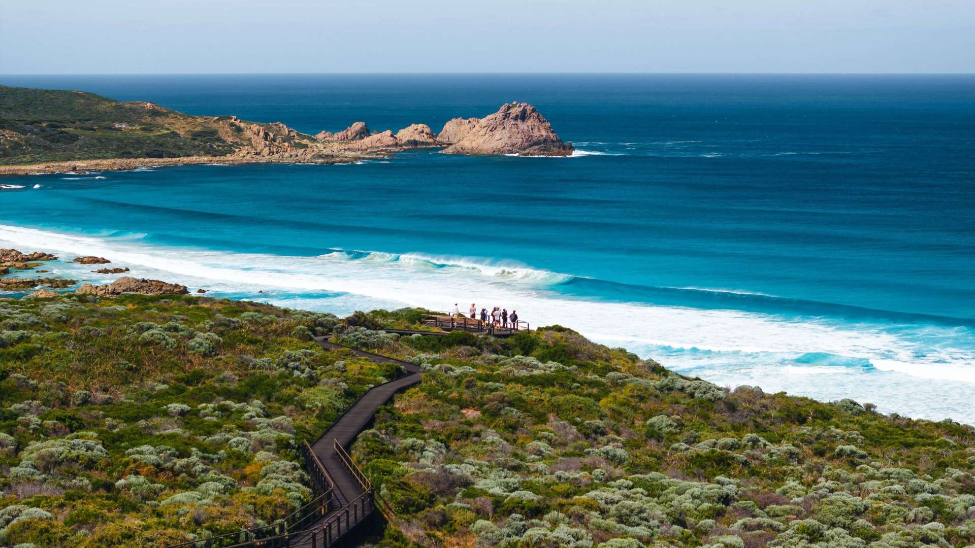 Australia's South West
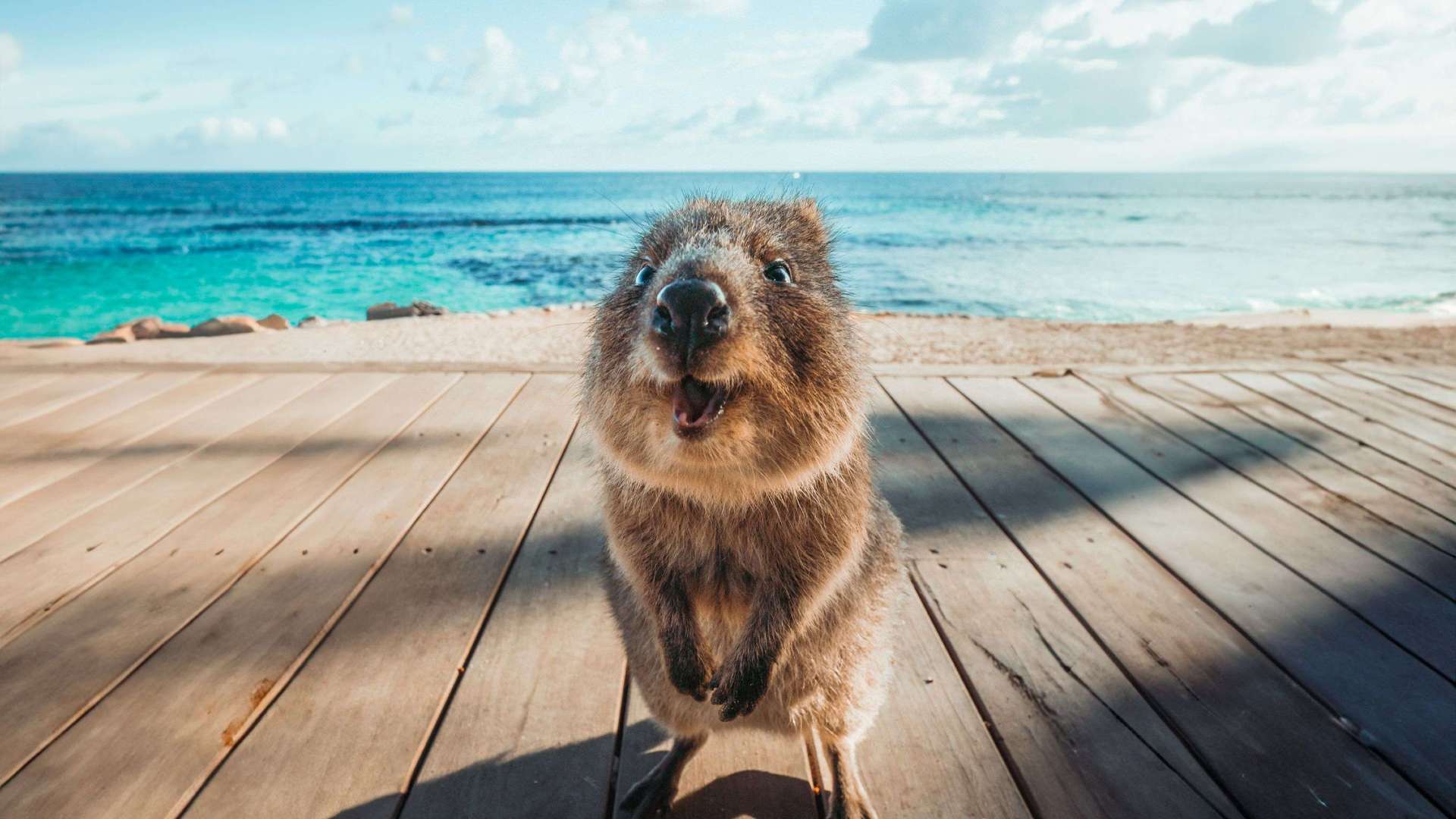 Destination Perth
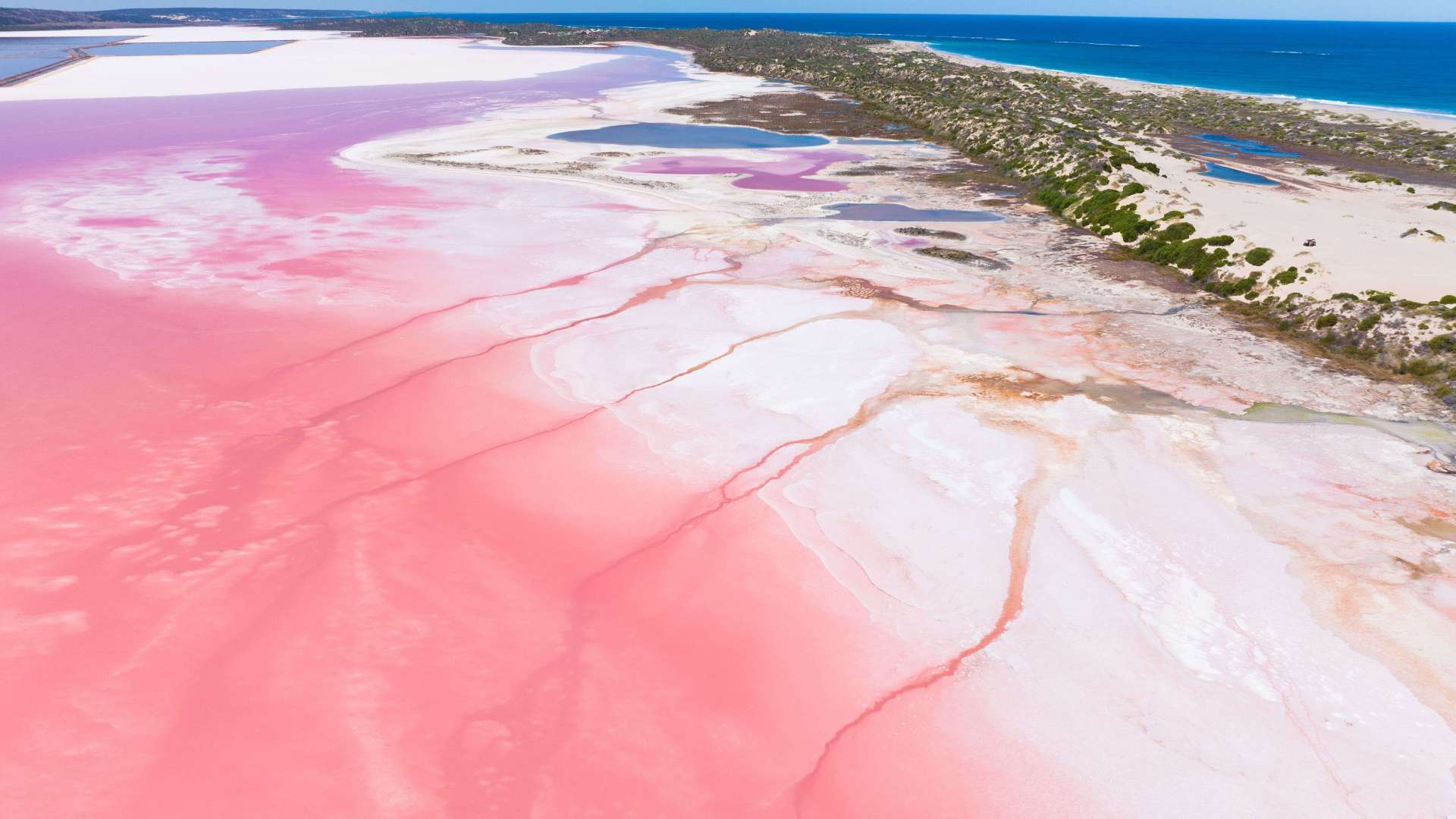 Australia's Coral Coast
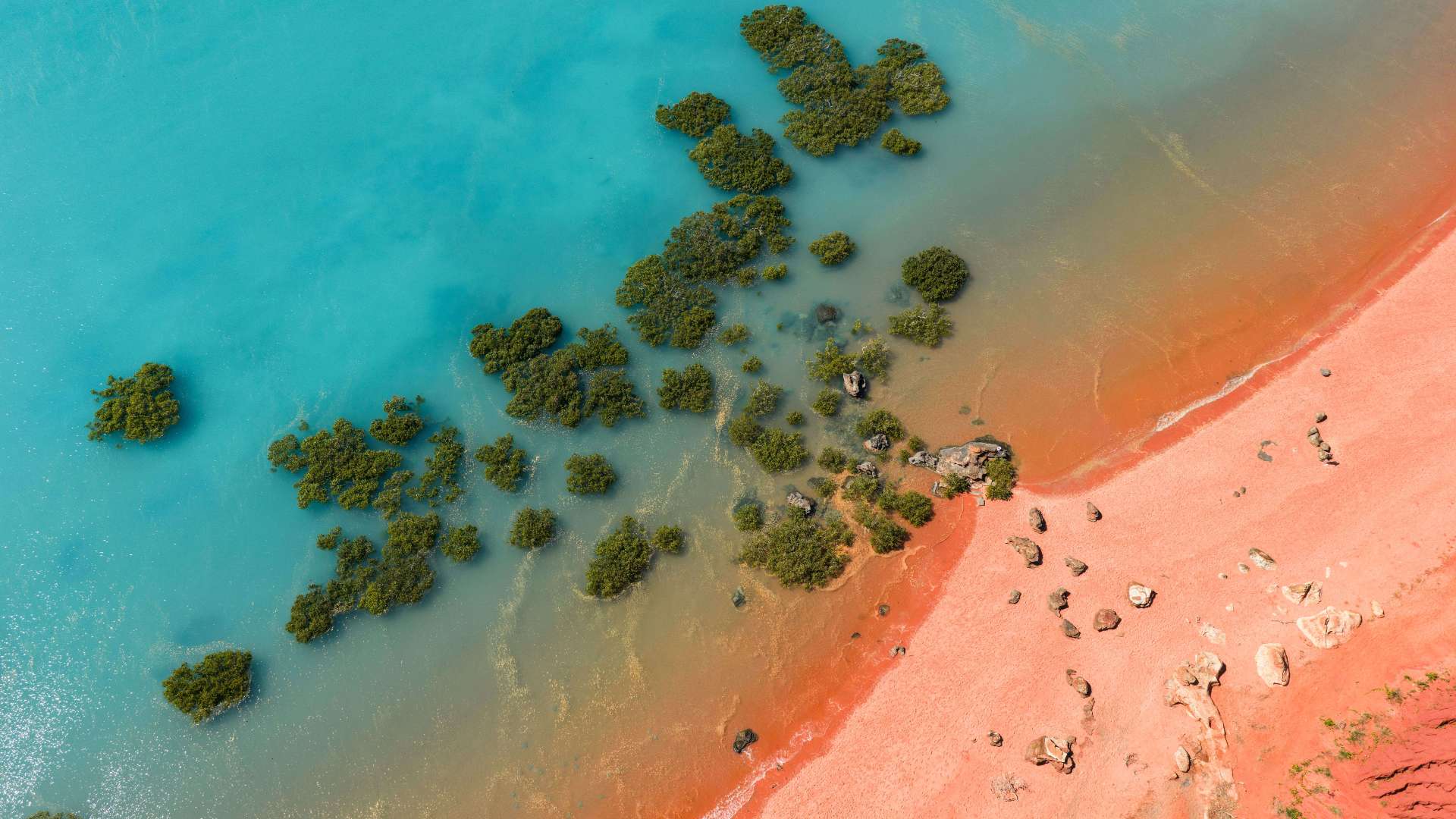 Australia's North West
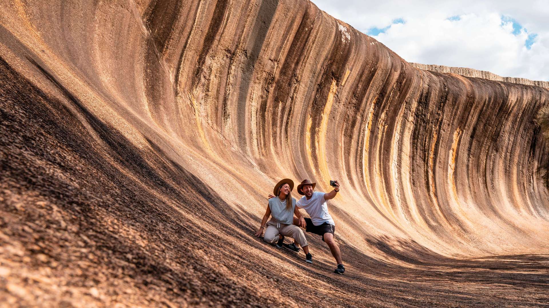 Australia's Golden Outback
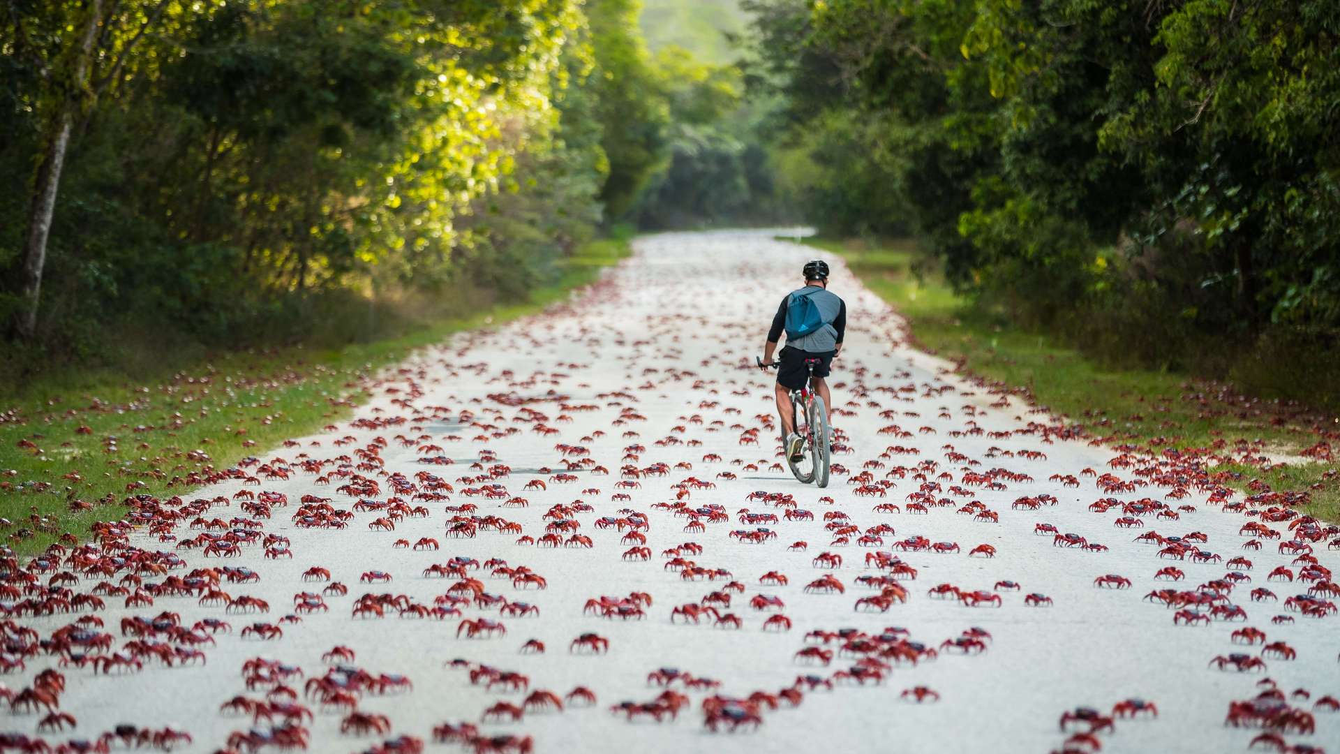 Christmas Island
 Limestone Coast
 Uluru/Kata Tjuta Region
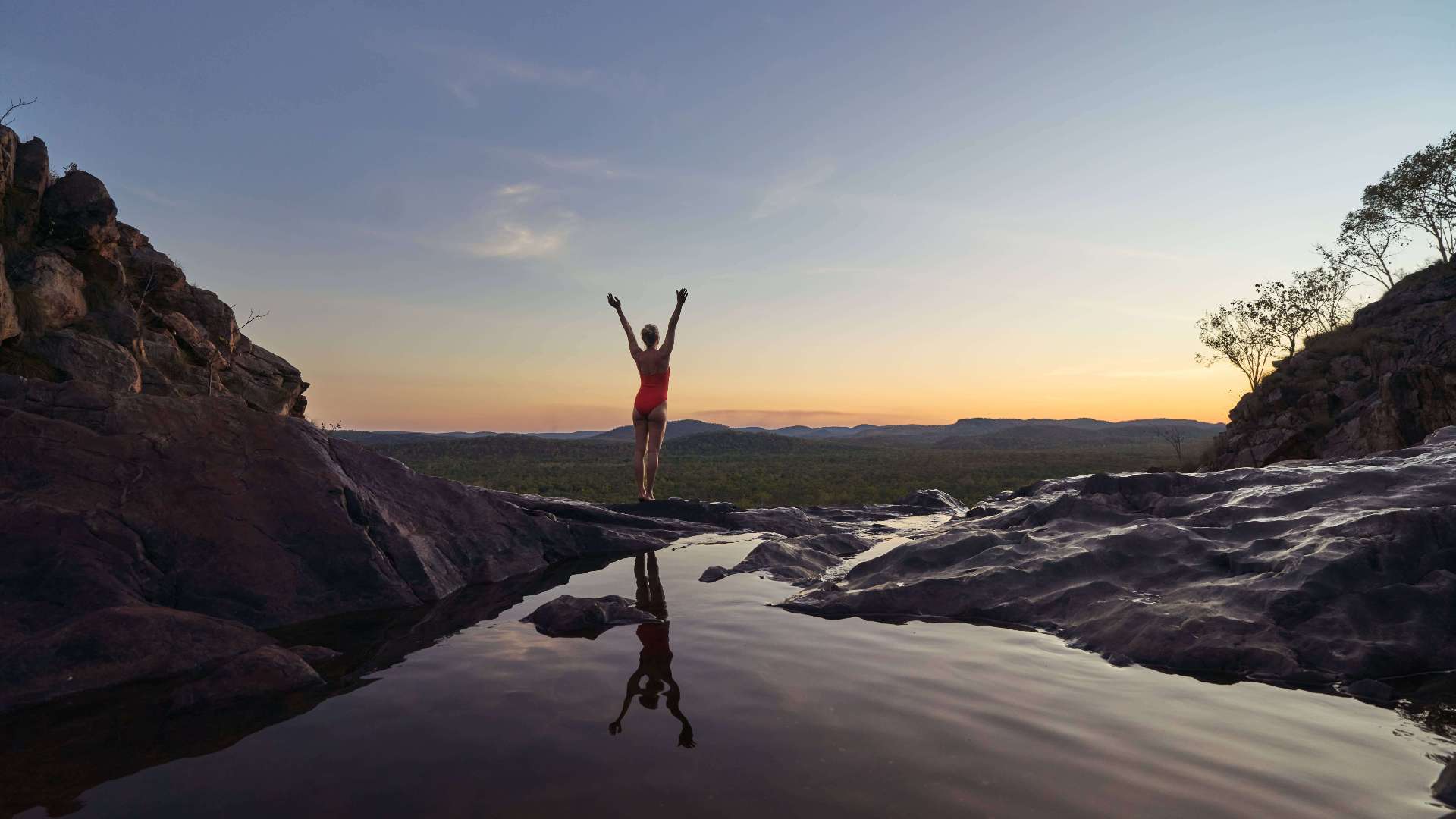 Kakadu
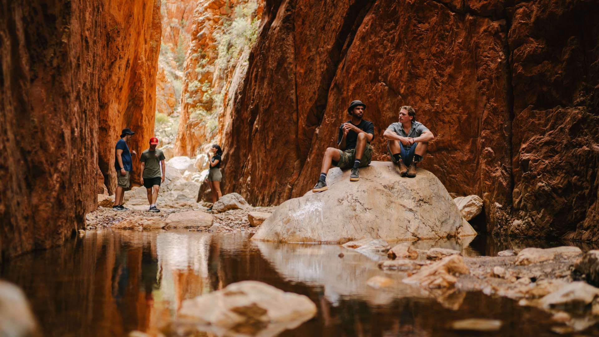 Alice Springs & Surrounds
 Darwin & Surrounds
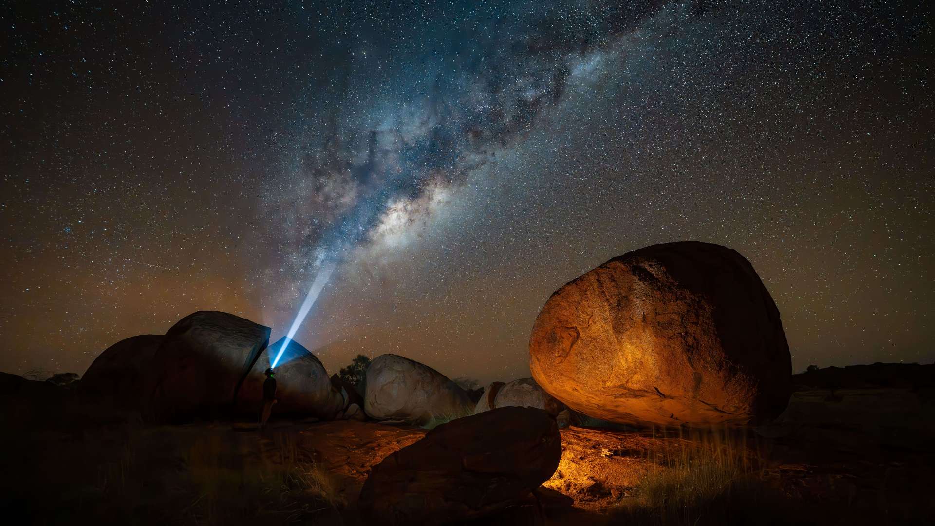 Tennant Creek & Barkly Region
 Arnhem Land
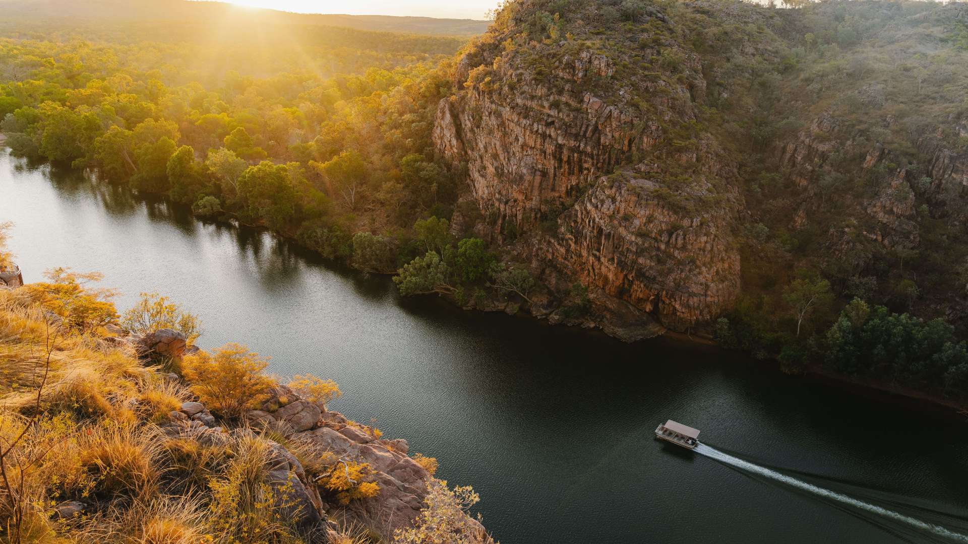 Katherine & Surrounds
 Canberra Region
Kangaroo Island Shipwreck Trail
 Make a Booking
Kangaroo Island Shipwreck Trail
Various coastal locations, Kingscote, South Australia, Australia, 5223
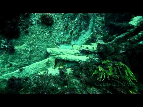
Drive or dive the Kangaroo Island Shipwreck Trail and explore the history of the island. Signs tell the stories of drama and tragedy. See seals, seabirds and the beautiful coastline.
Matthew Flinders was the first European to map the coast during his survey in the HMS Investigator in 1802. In 1803 French Captain Nicolas Baudin circumnavigated and charted the whole island.
In the early 1800s sealers, whalers and outcasts lived on Kangaroo Island. One visitor described it as the most vicious place in the British Empire. Sadly, many Aboriginal women were captured in the eastern states and brought here.
More than 80 vessels sank around or near Kangaroo Island. Some were large international sailing ships, some were small coastal traders. There are dramatic and tragic stories behind many of these wrecks, such as the Loch Sloy, Loch Vennachar, Osmanli and You Yangs.
Many wrecks such as the Portland Maru are excellent diving sites.
The trail includes signs at Kingscote and Penneshaw, and seven story panels at related sites around the Island. The signs include personal stories and newspaper reports of the time to describe the seven wrecks.
Download the Kangaroo Island Shipwreck Trail brochure for more information.
Highlights
Address
Various coastal locations, Kingscote, South Australia, Australia, 5223
Phone
8124 4933
Make a Booking
You might also like...
 Kalgoorlie and Goldfields, Western Australia
1 / 2

Starting Planning your next thing With Us
Your next big adventure awaits, and Things to Do is here to help make that run smoothly! Join today and take advantage of our easy to use features.
Join Now