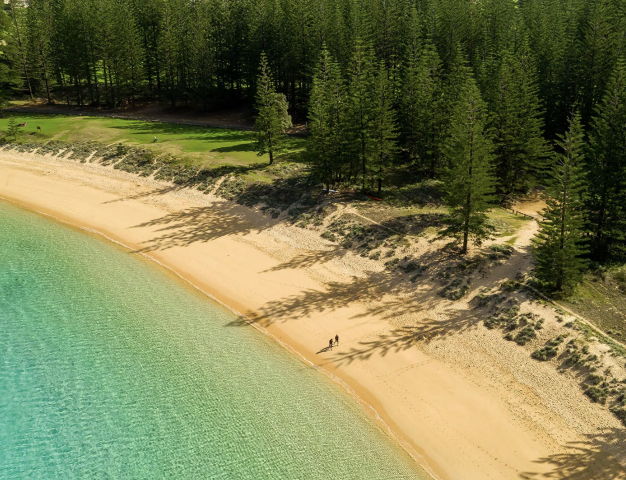
 Norfolk Island
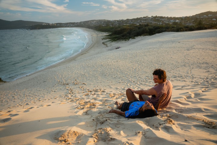
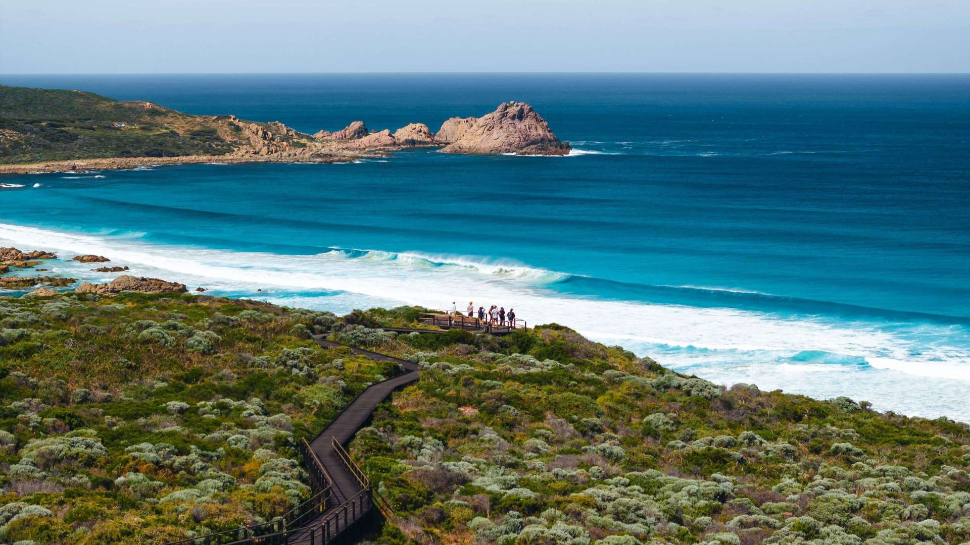
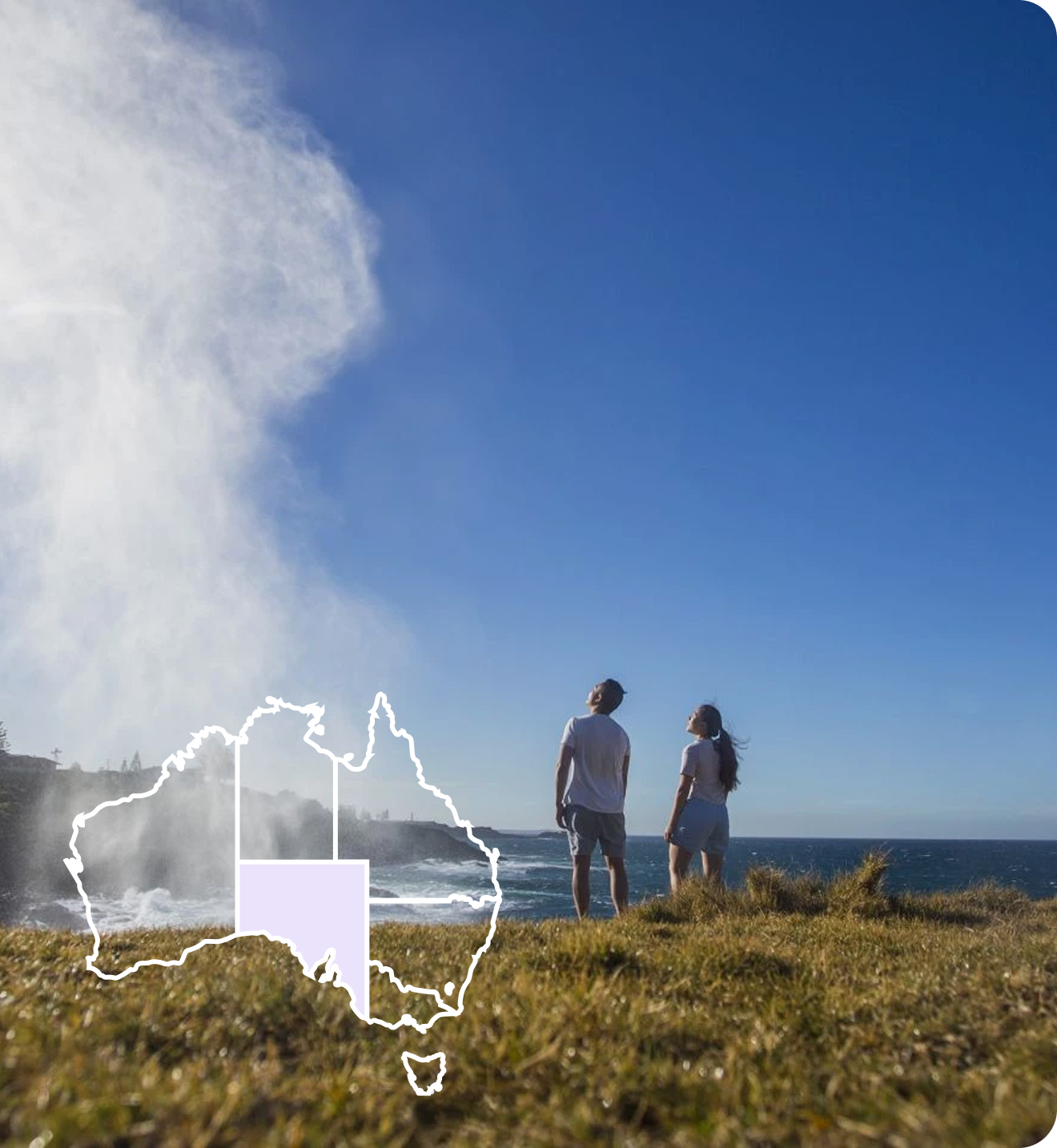
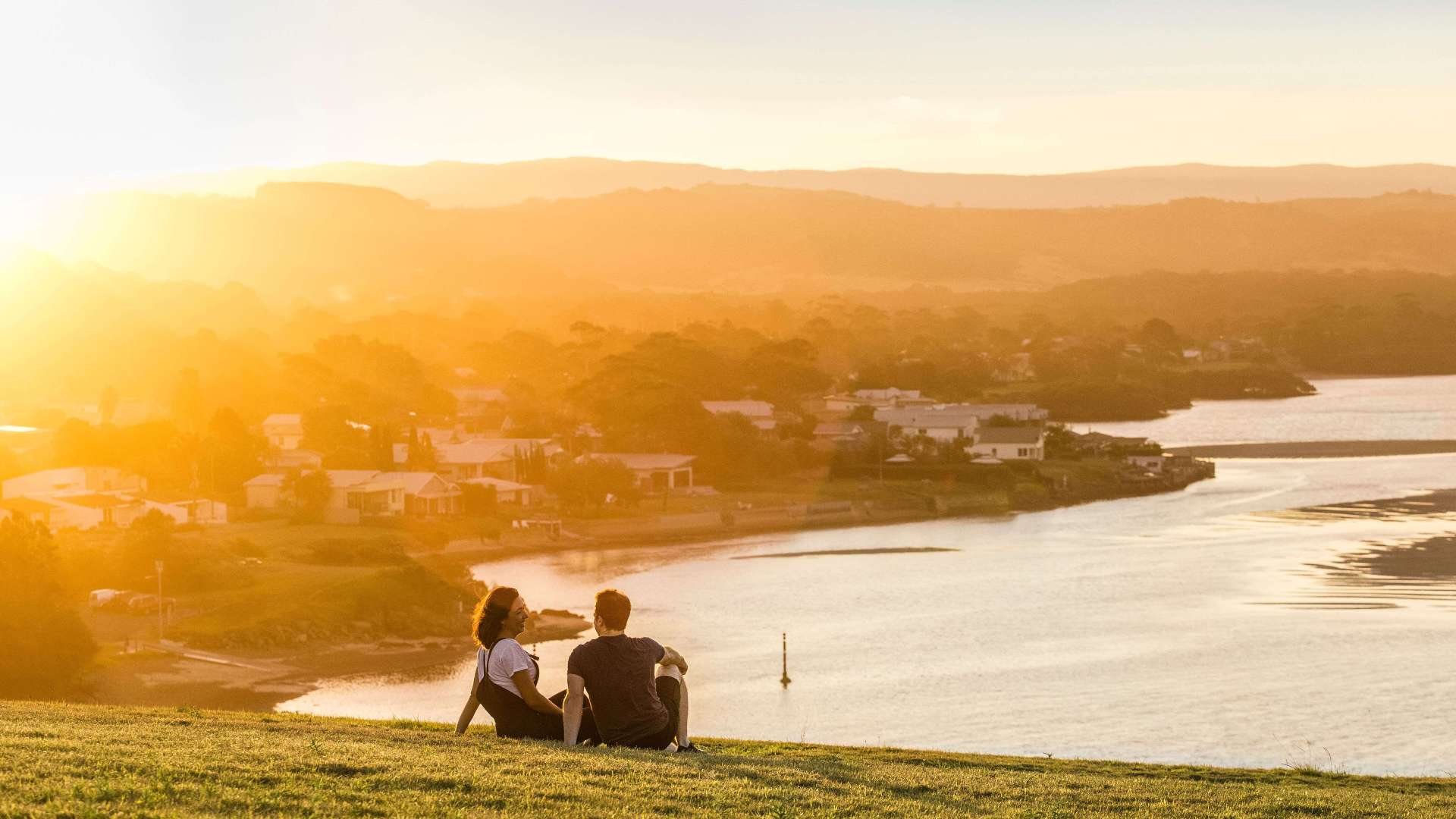 South Coast
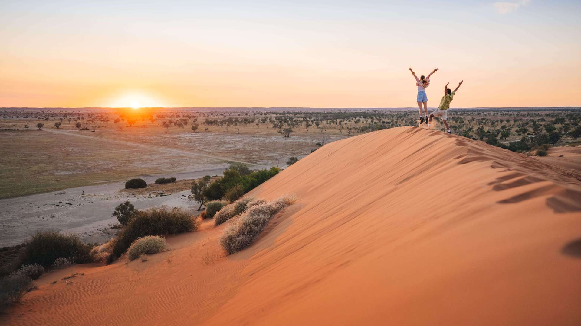
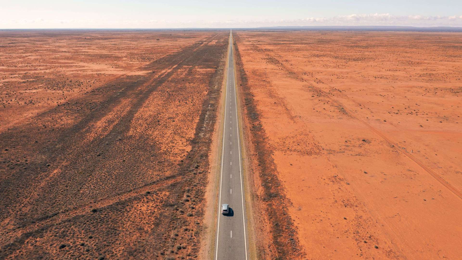 Outback NSW
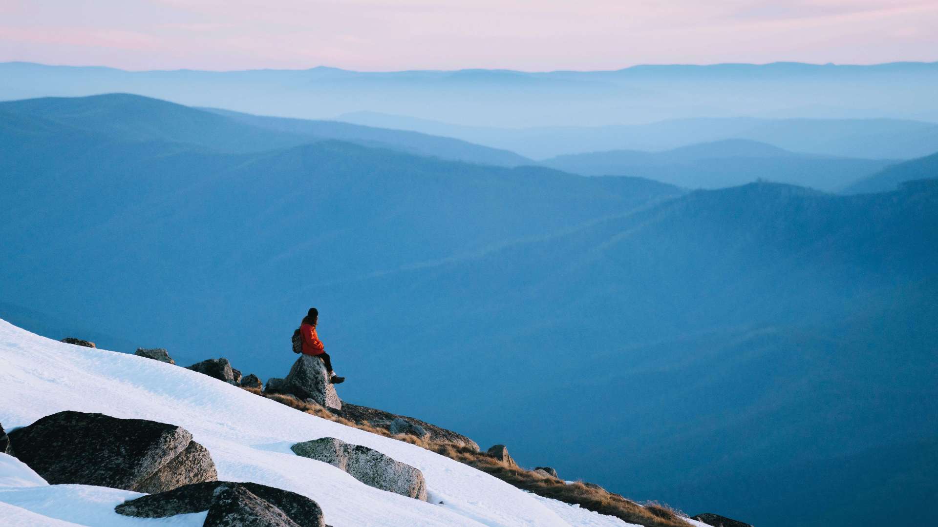 Snowy Mountains
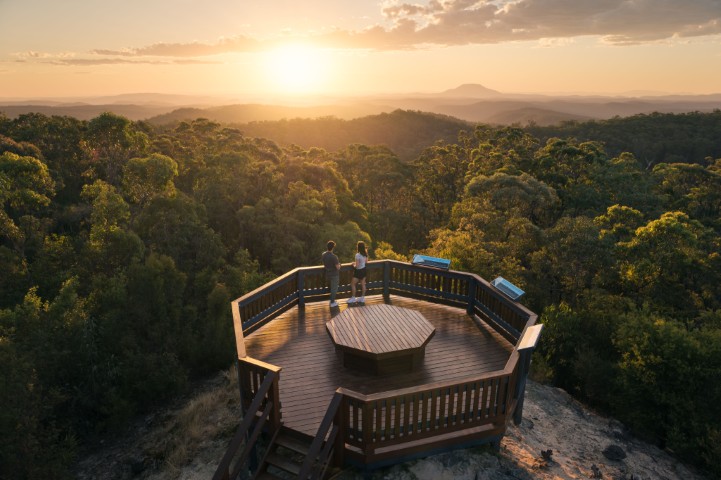
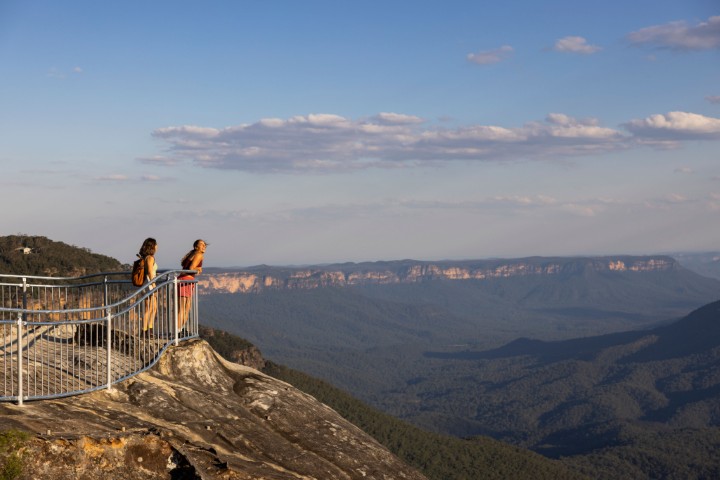 Blue Mountains
 North Coast
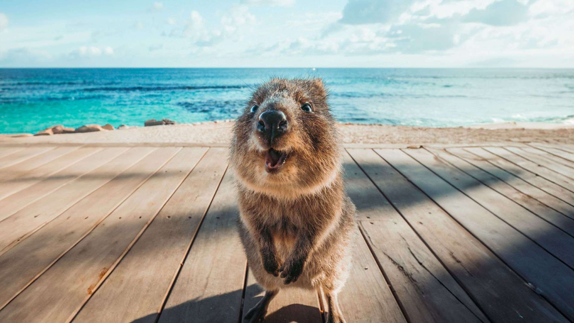
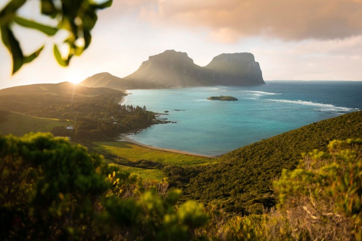 Lord Howe Island
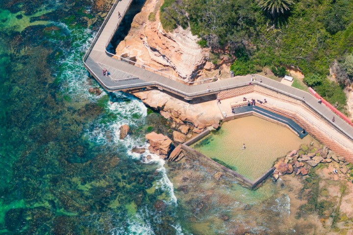 Central Coast
 Greater Sydney
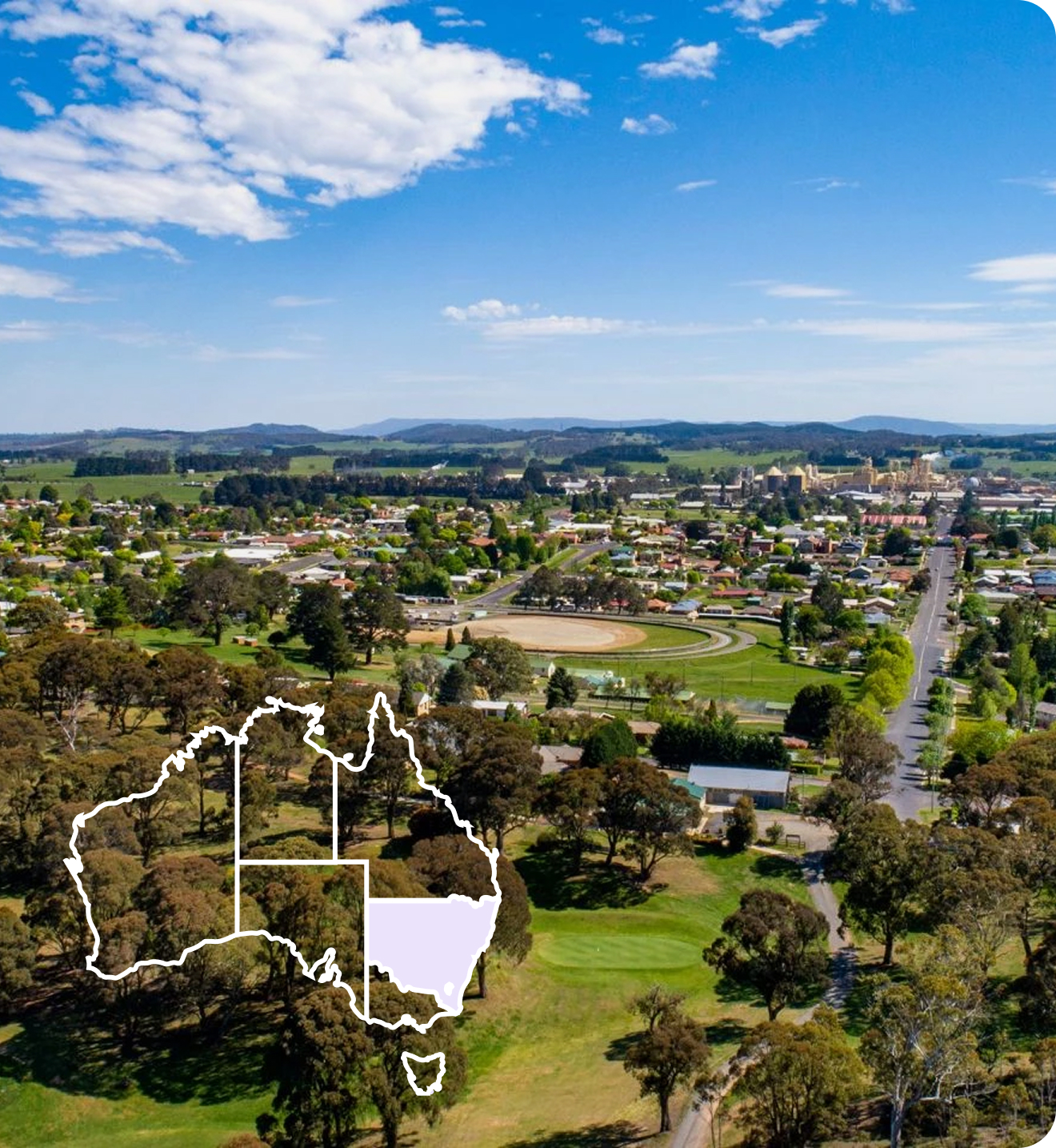
 Country NSW
 Geelong & the Bellarine
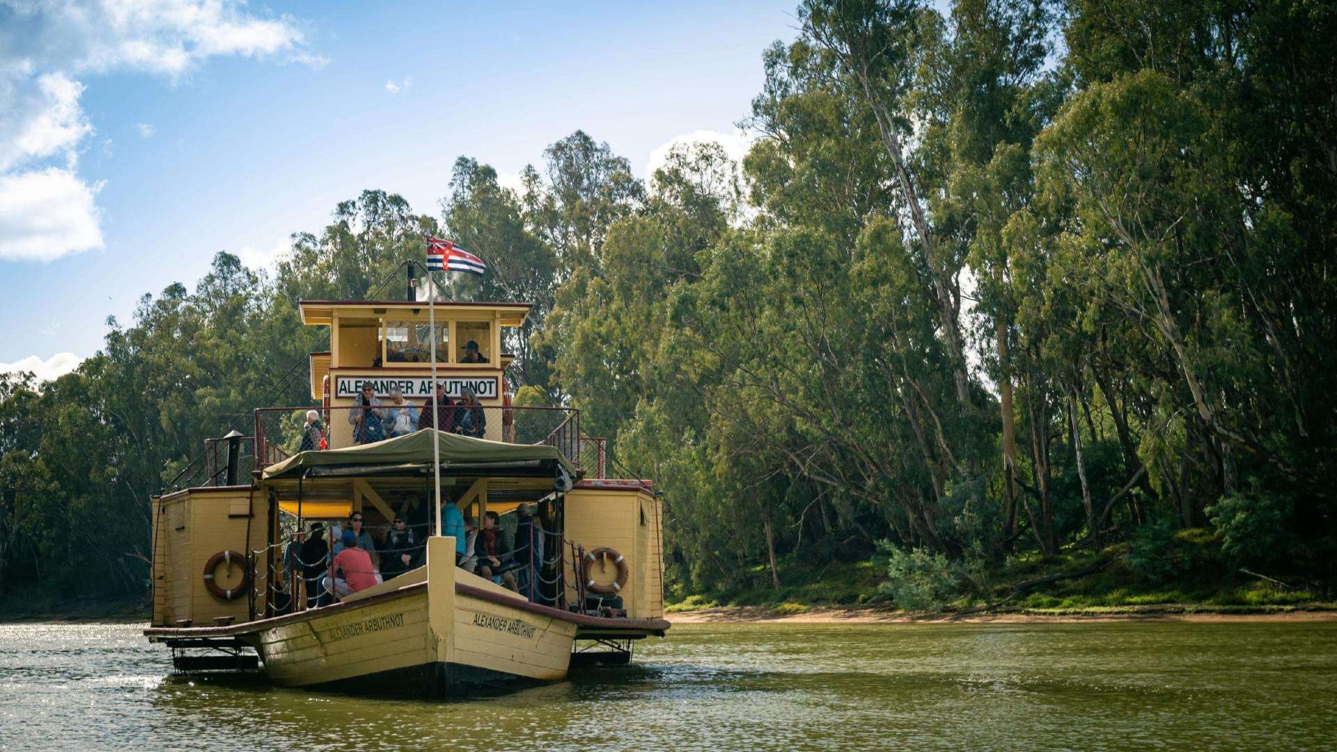 The Murray
 Goldfields
 Daylesford & the Macedon Ranges
 Yarra Valley & Dandenong Ranges
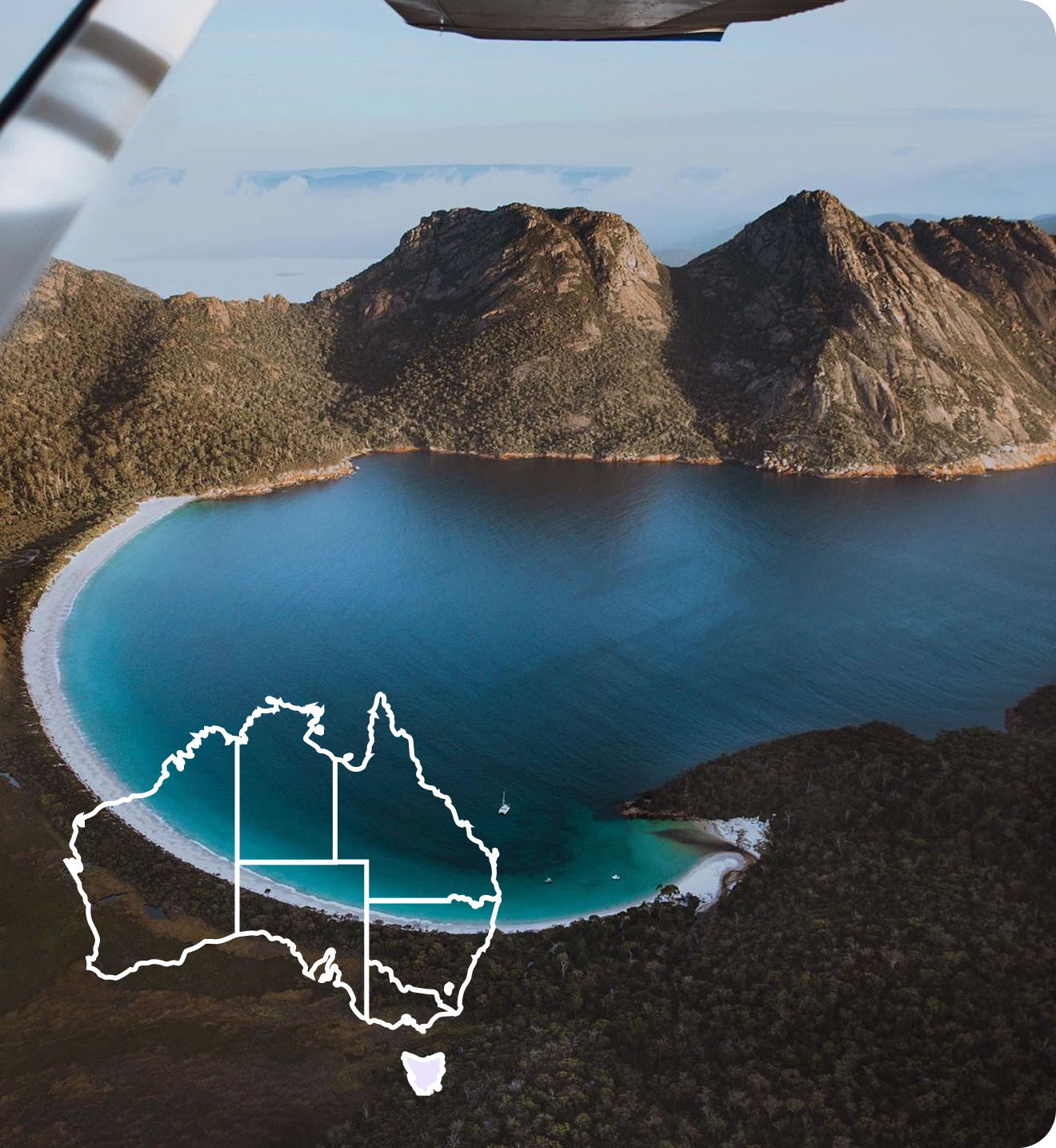
 Gippsland
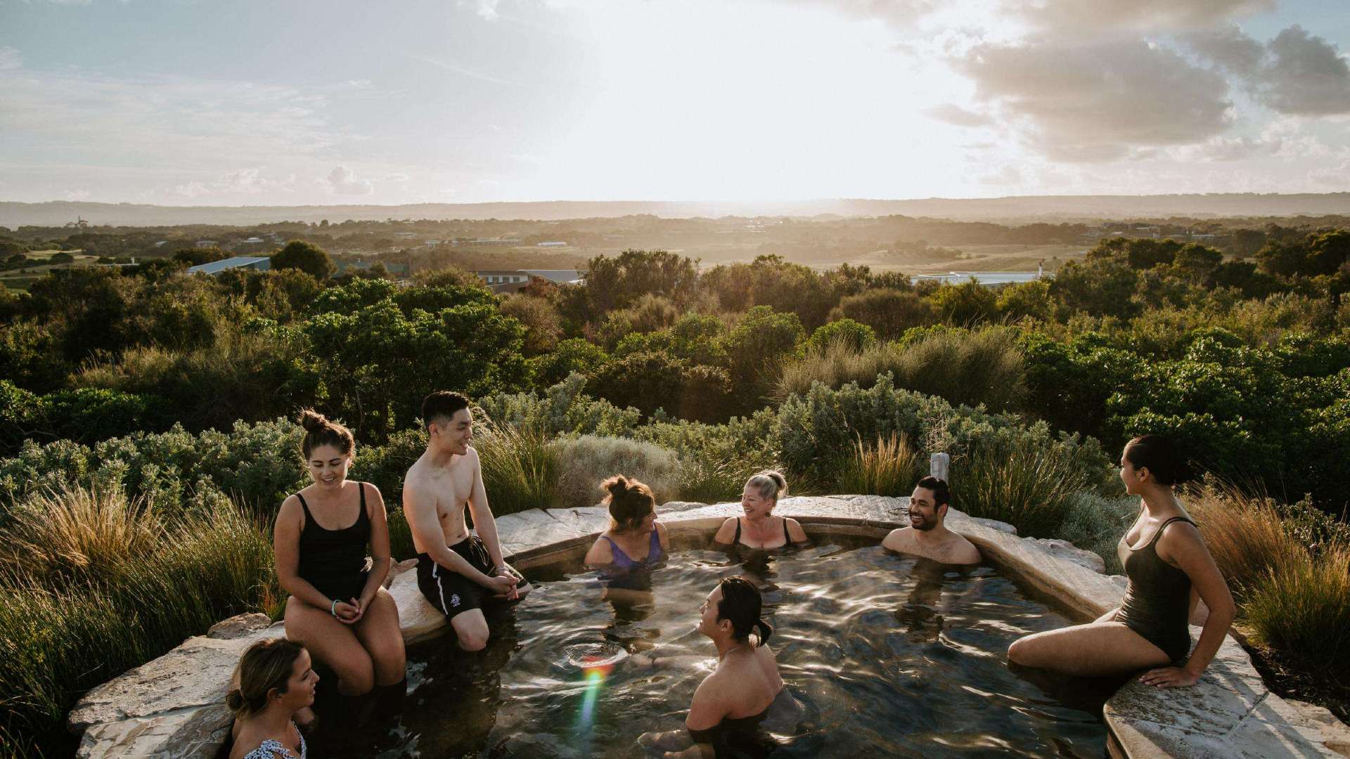 Mornington Peninsula
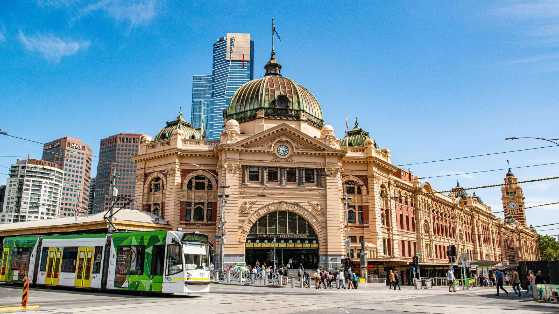 Melbourne
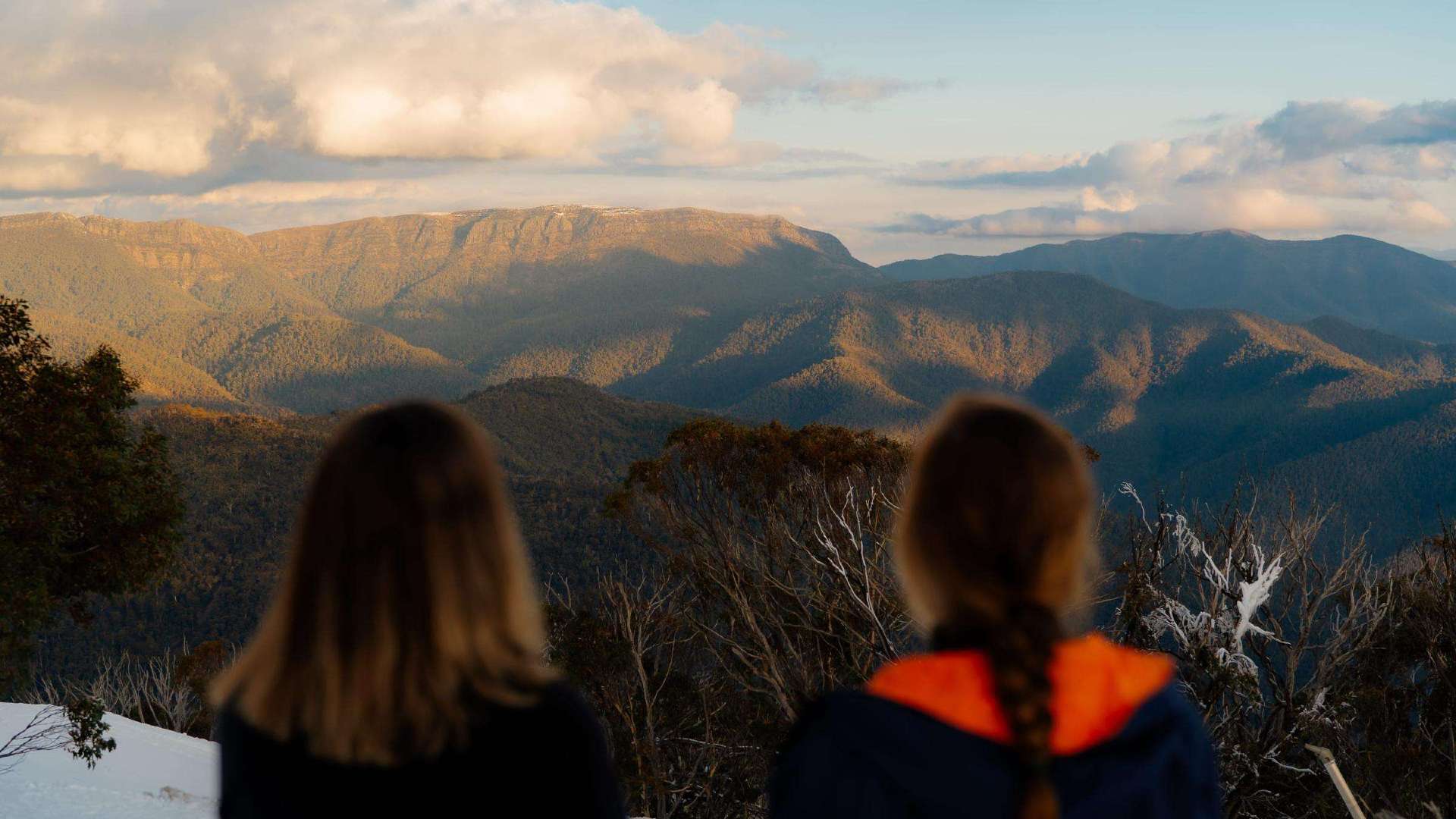 High Country
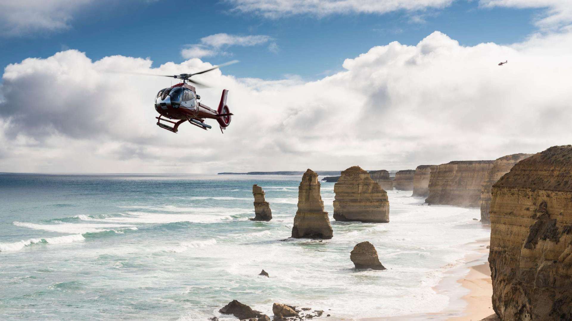 Great Ocean Road
 Sunshine Coast Region
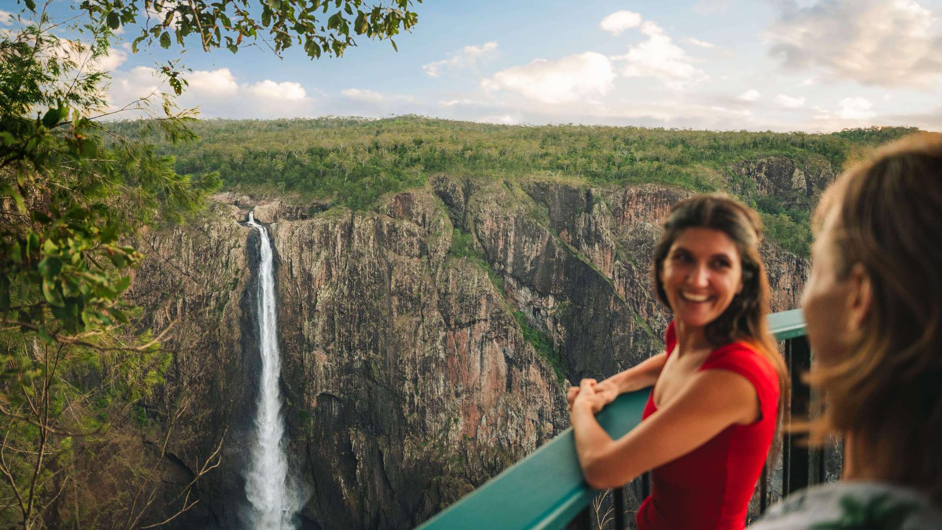
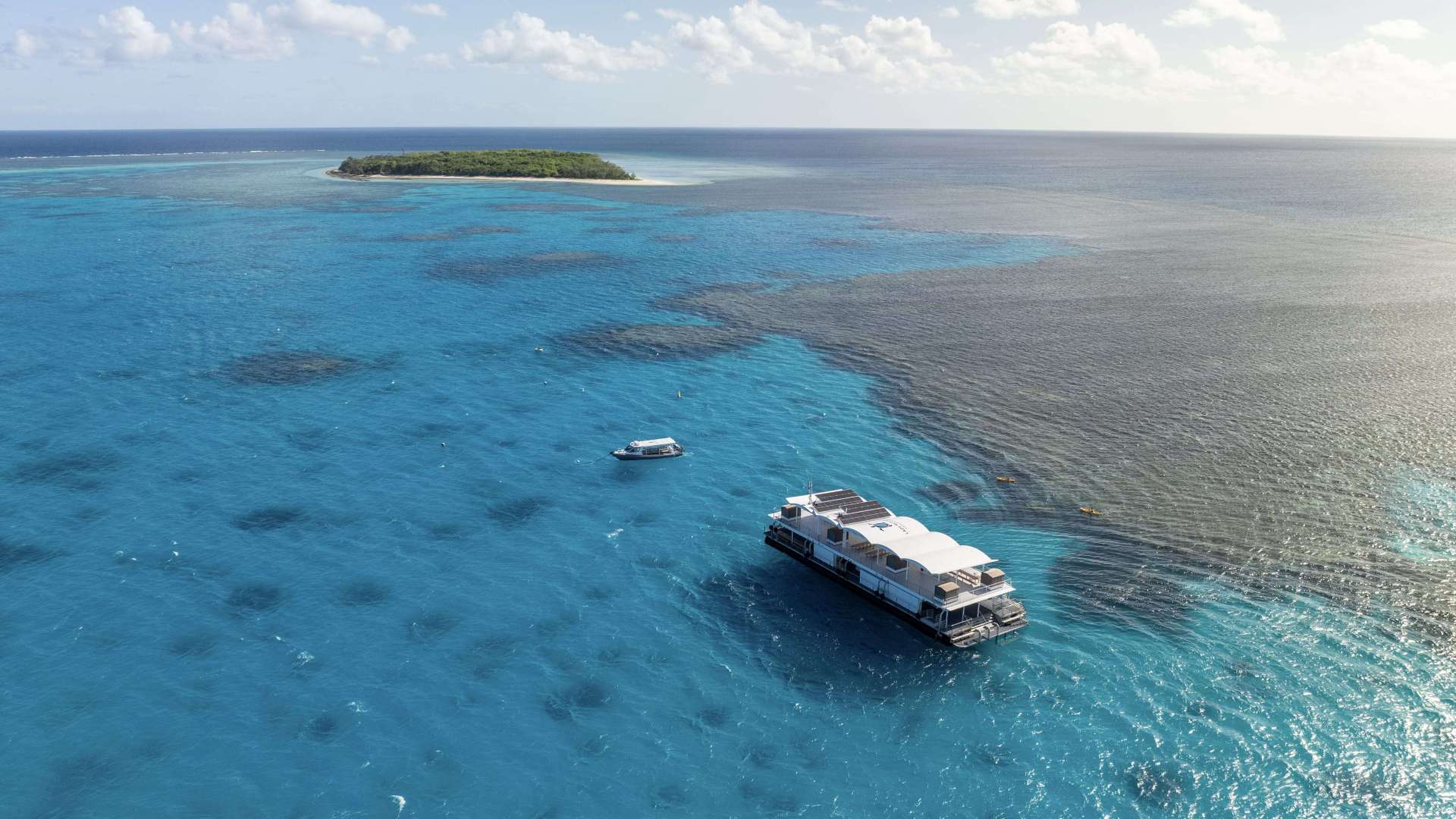
 Mackay Region
 Gold Coast Region
 Far West
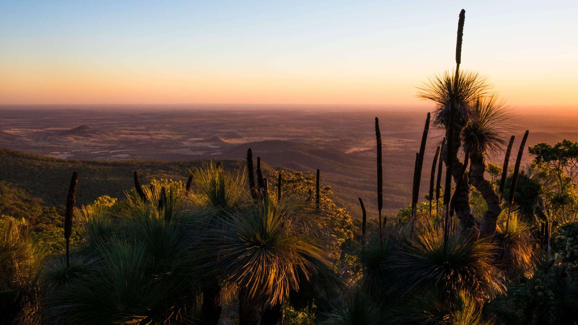 Western Downs Region
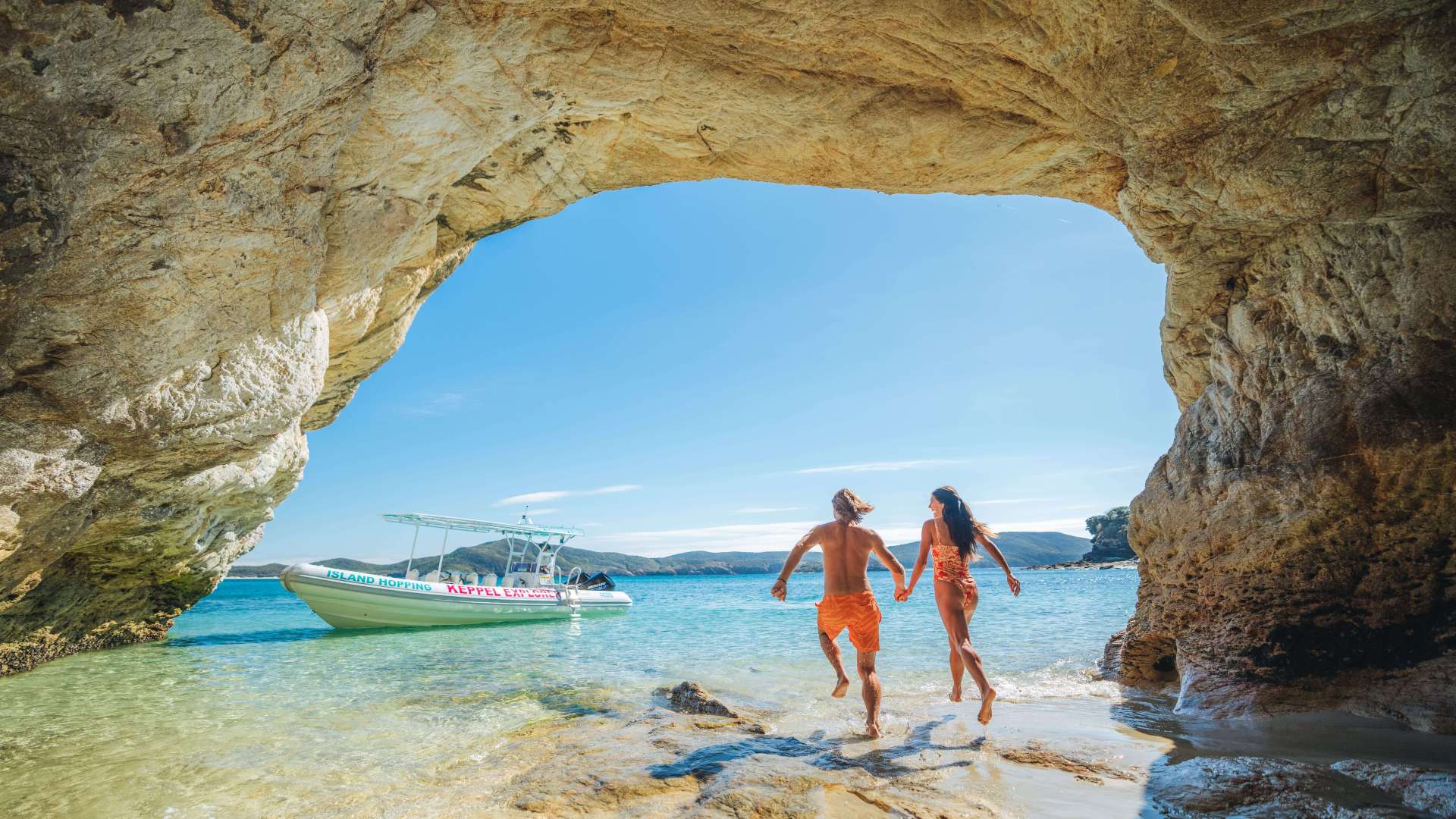 Capricorn Region
 Townsville Region
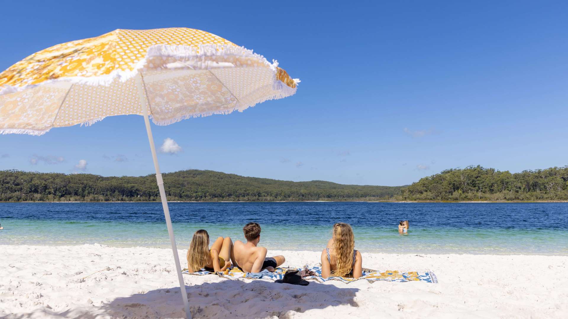 Fraser Coast Region
 Gulf Savannah
 Gladstone Region
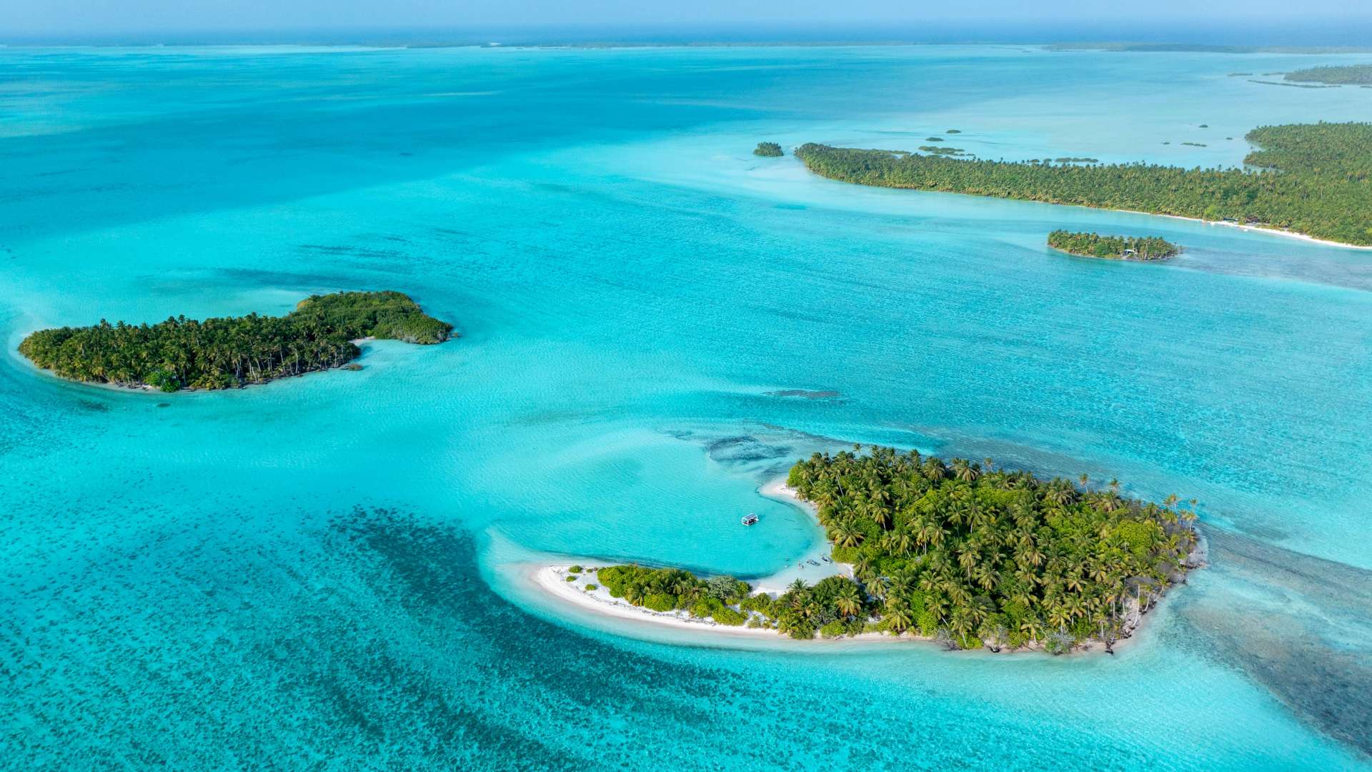 Cocos (Keeling) Islands
 Australia's South West
 Destination Perth
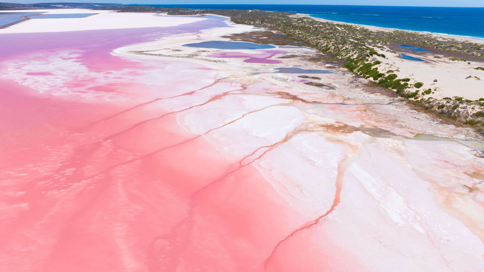 Australia's Coral Coast
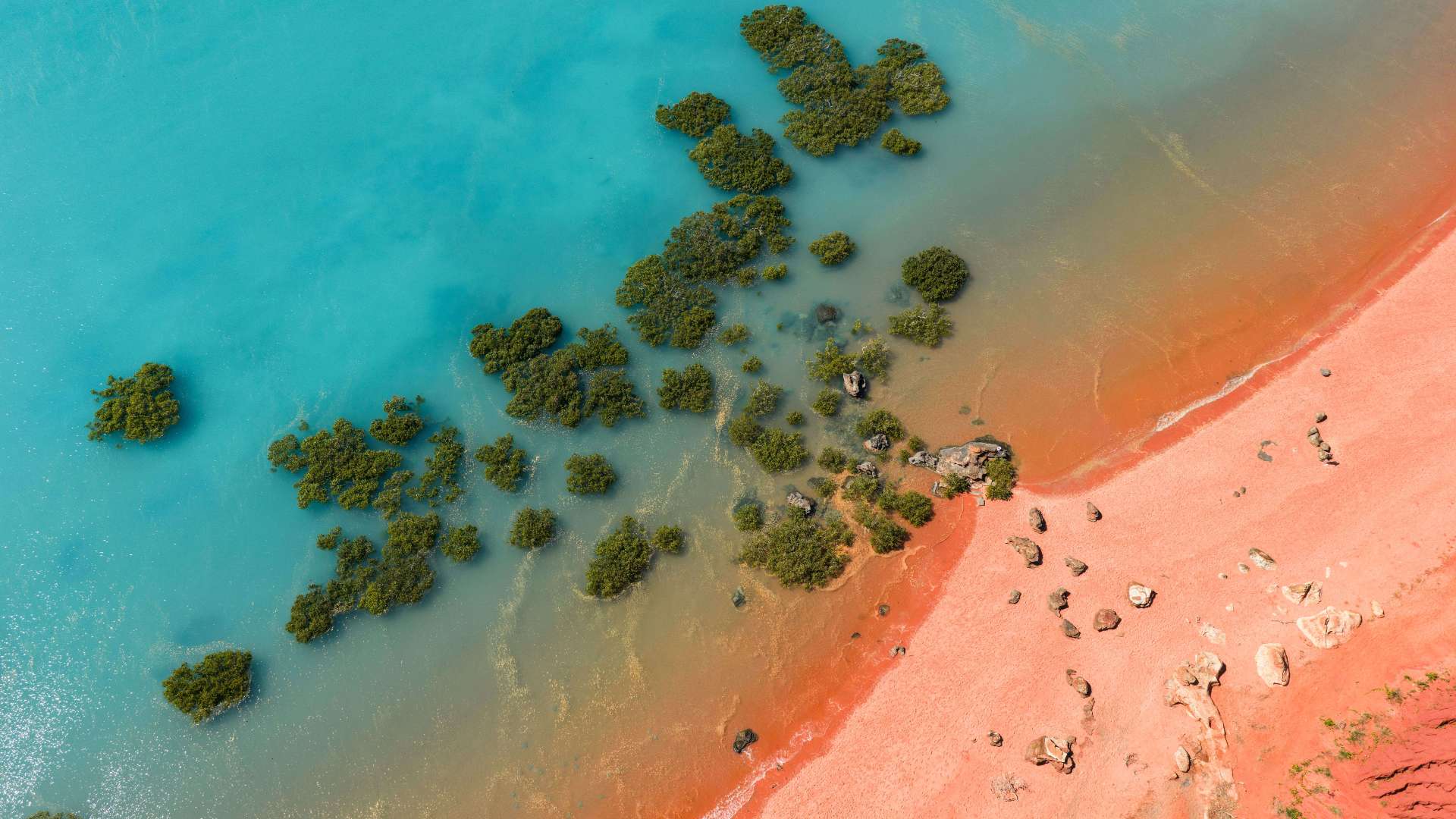 Australia's North West
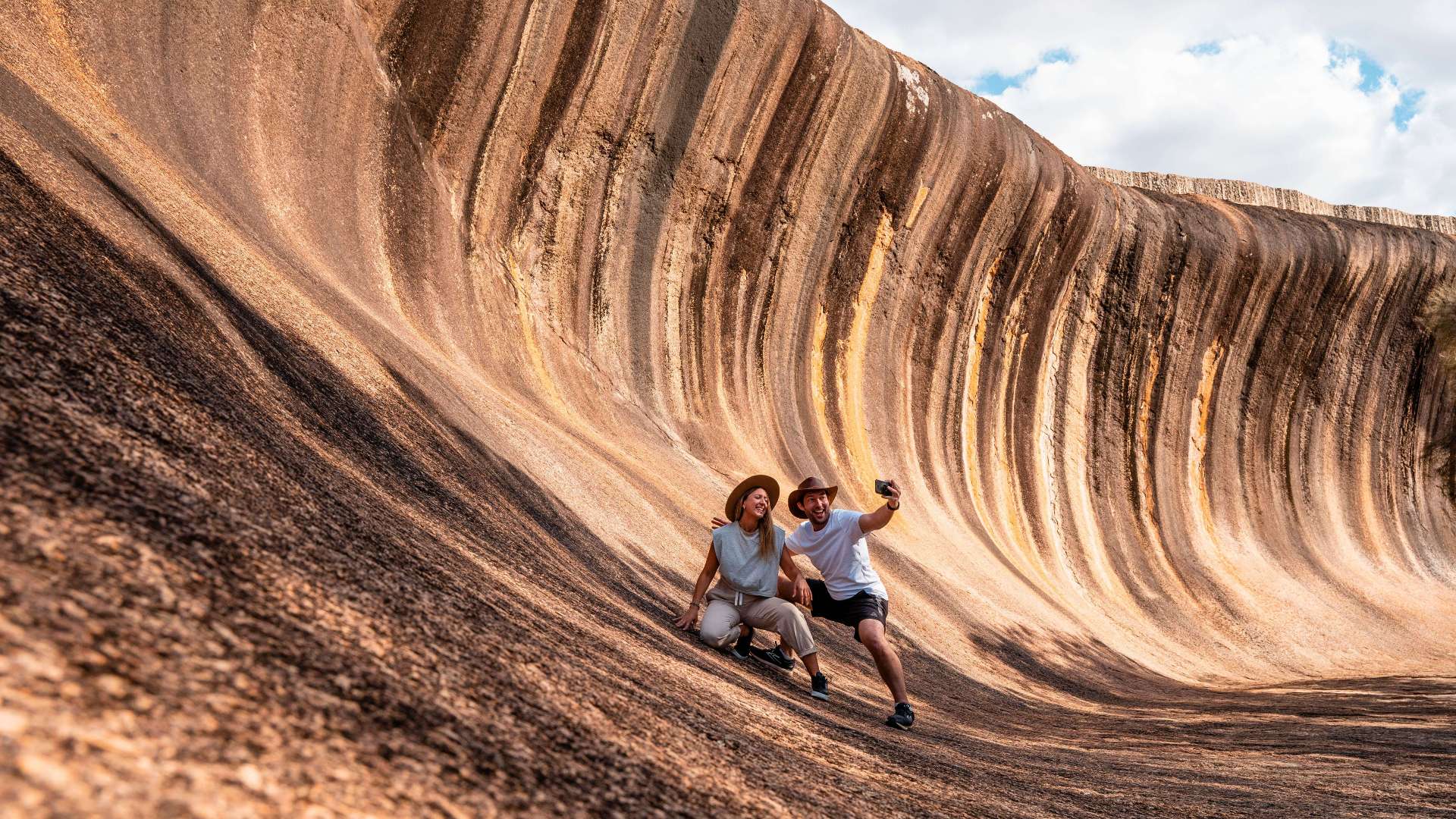 Australia's Golden Outback
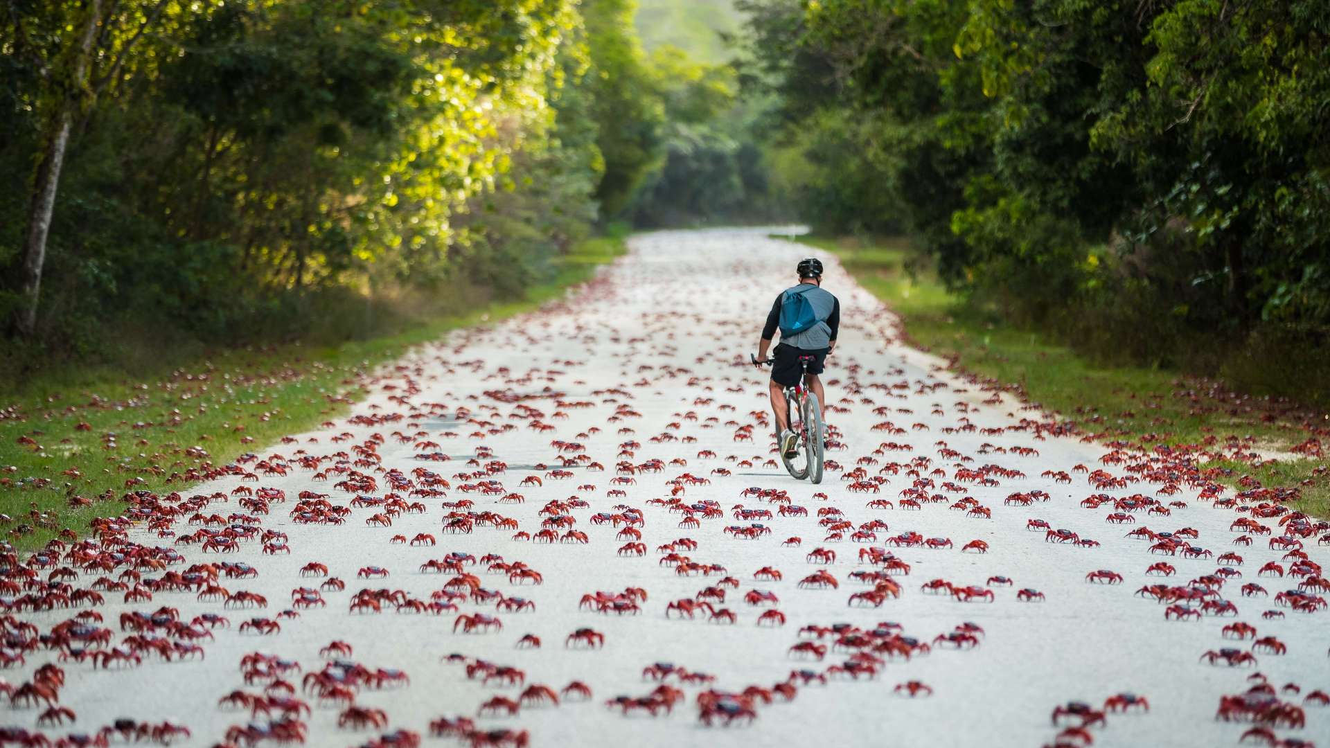 Christmas Island
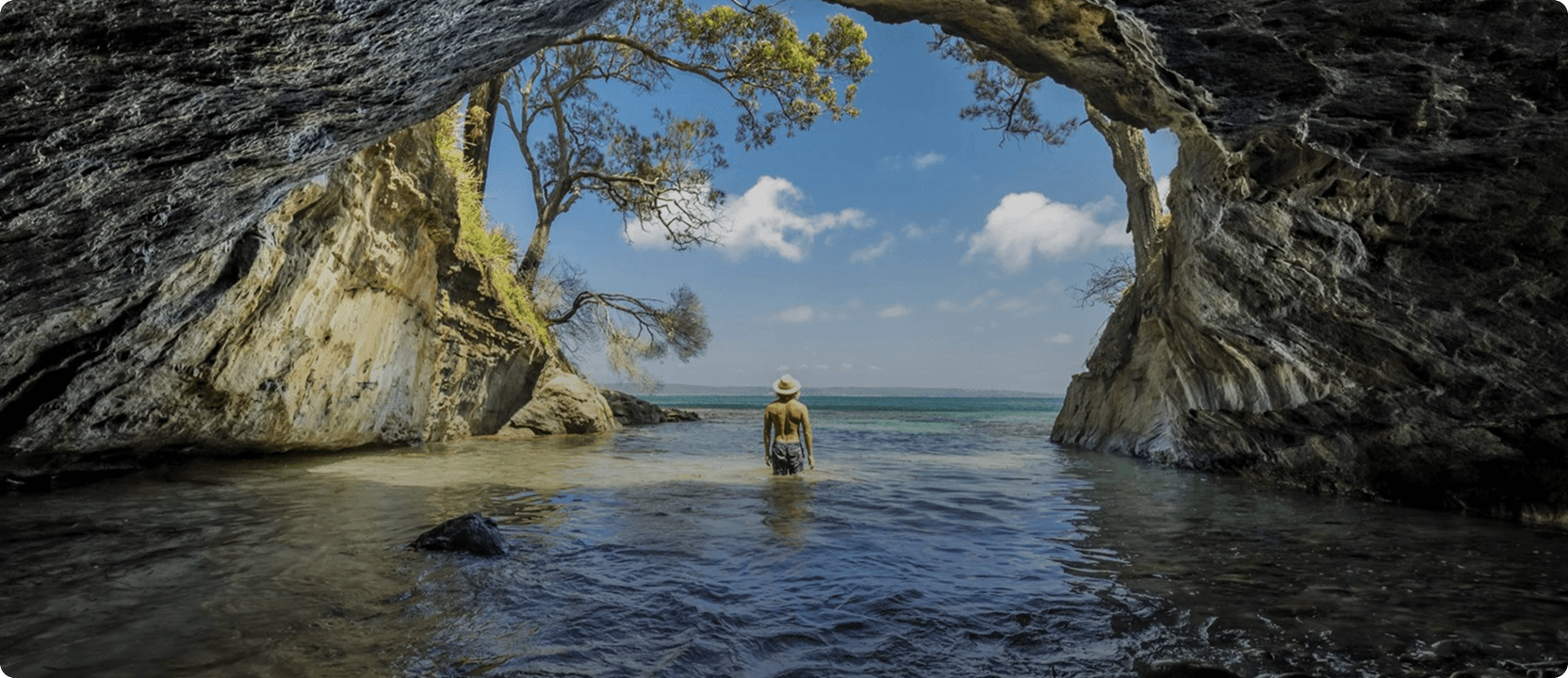
 Limestone Coast
 Murray River, Lakes and Coorong
 Yorke Peninsula
 Adelaide
 Riverland
 Barossa
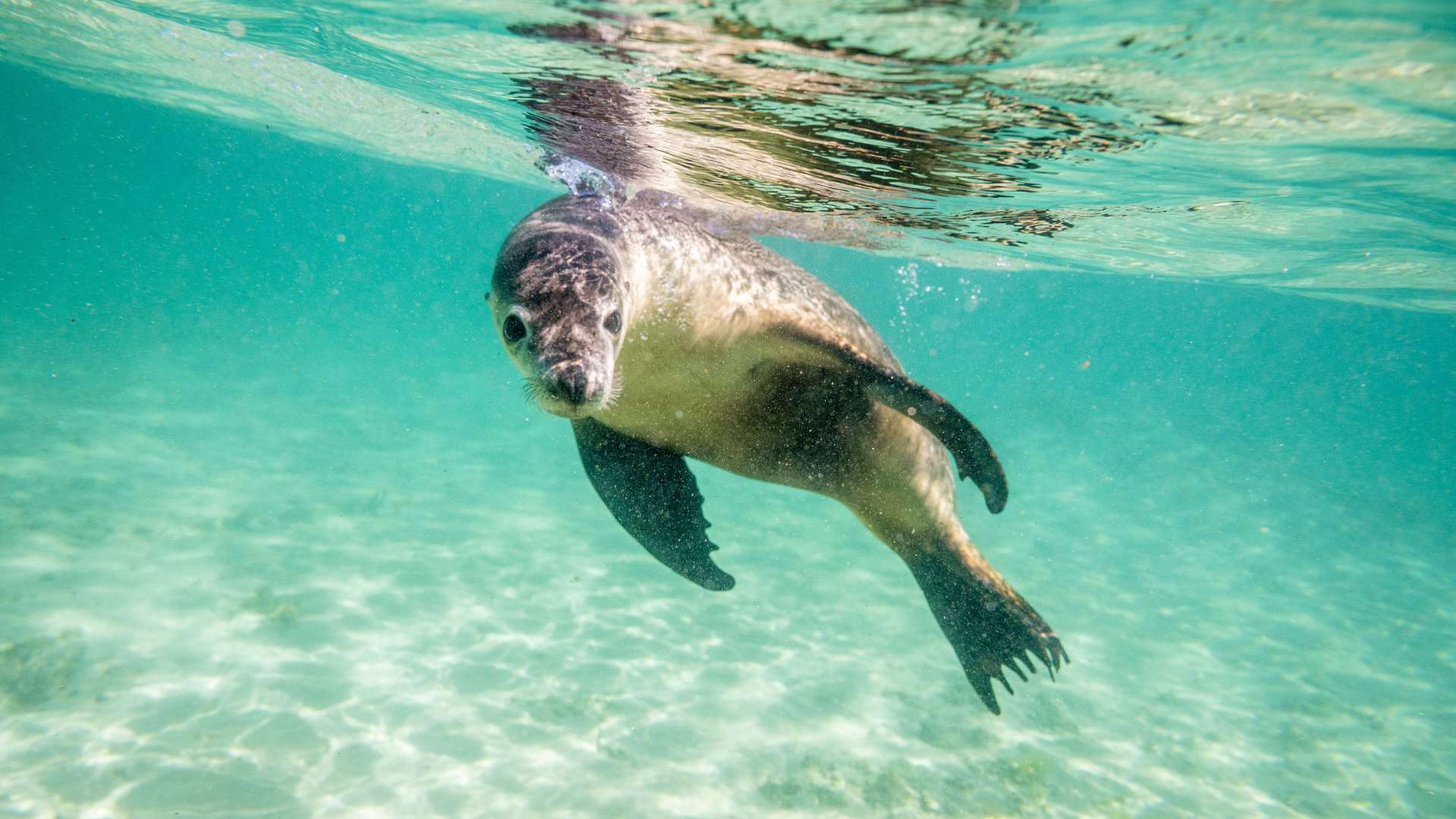
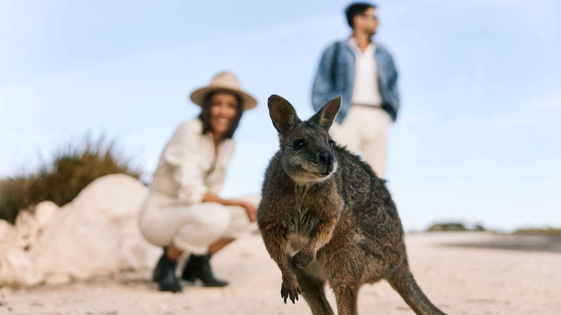 Kangaroo Island
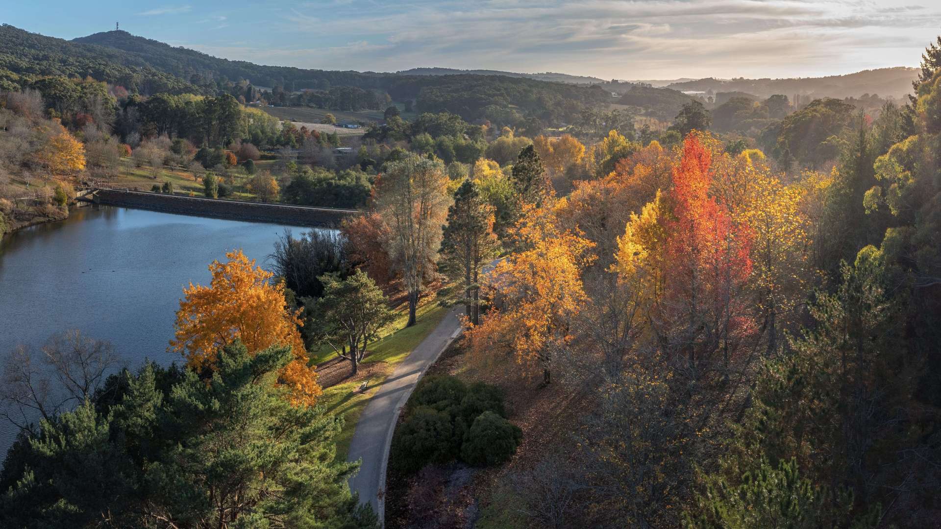 Adelaide Hills
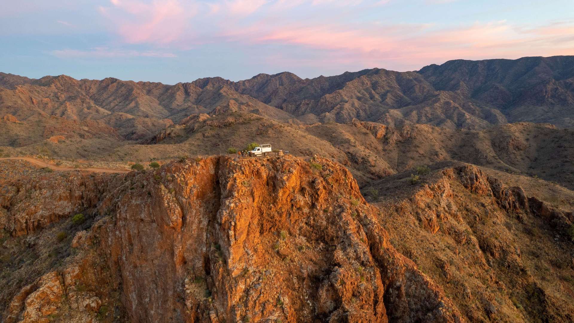 Flinders Ranges and Outback
 Eyre Peninsula
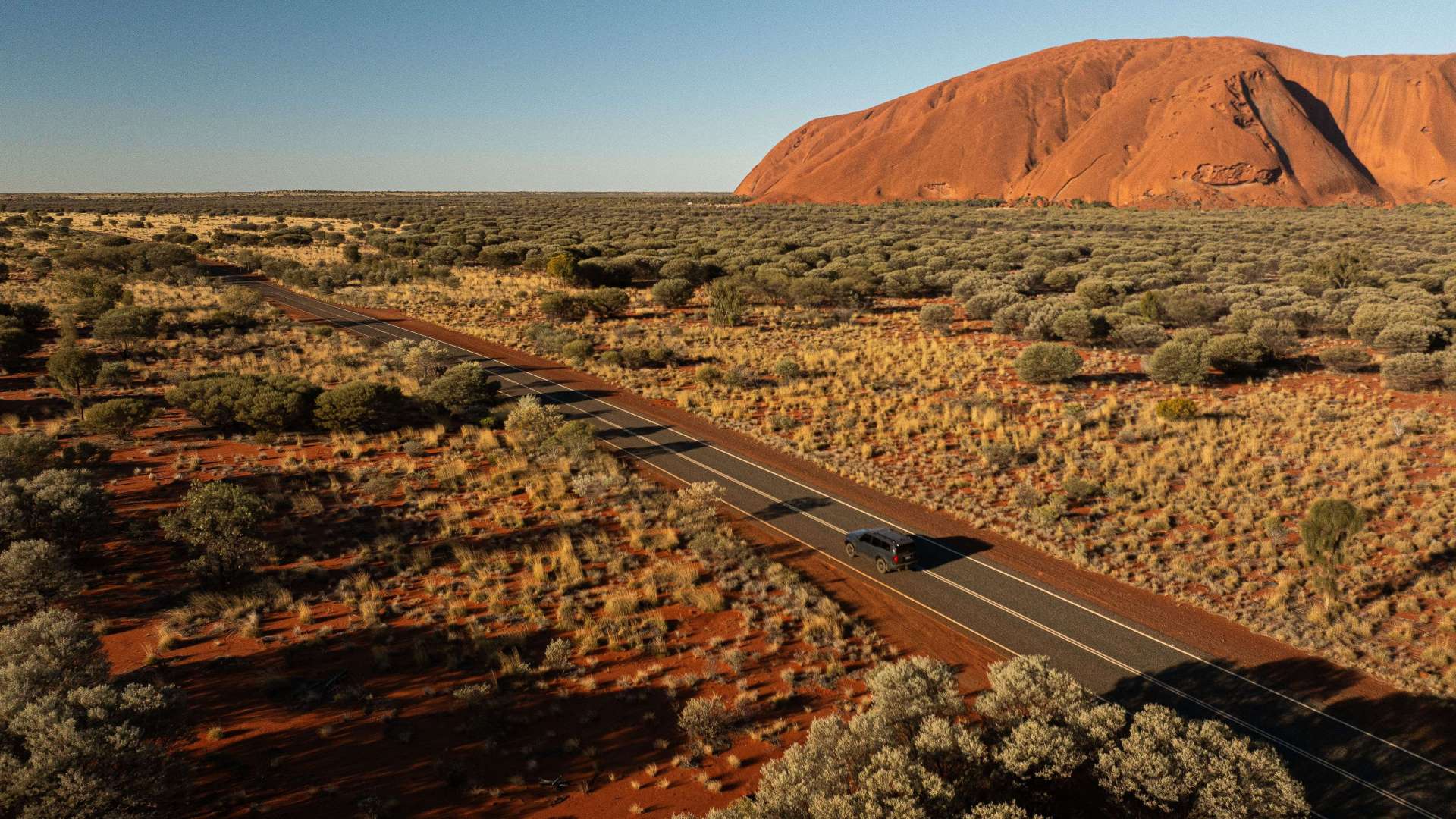 Uluru/Kata Tjuta Region
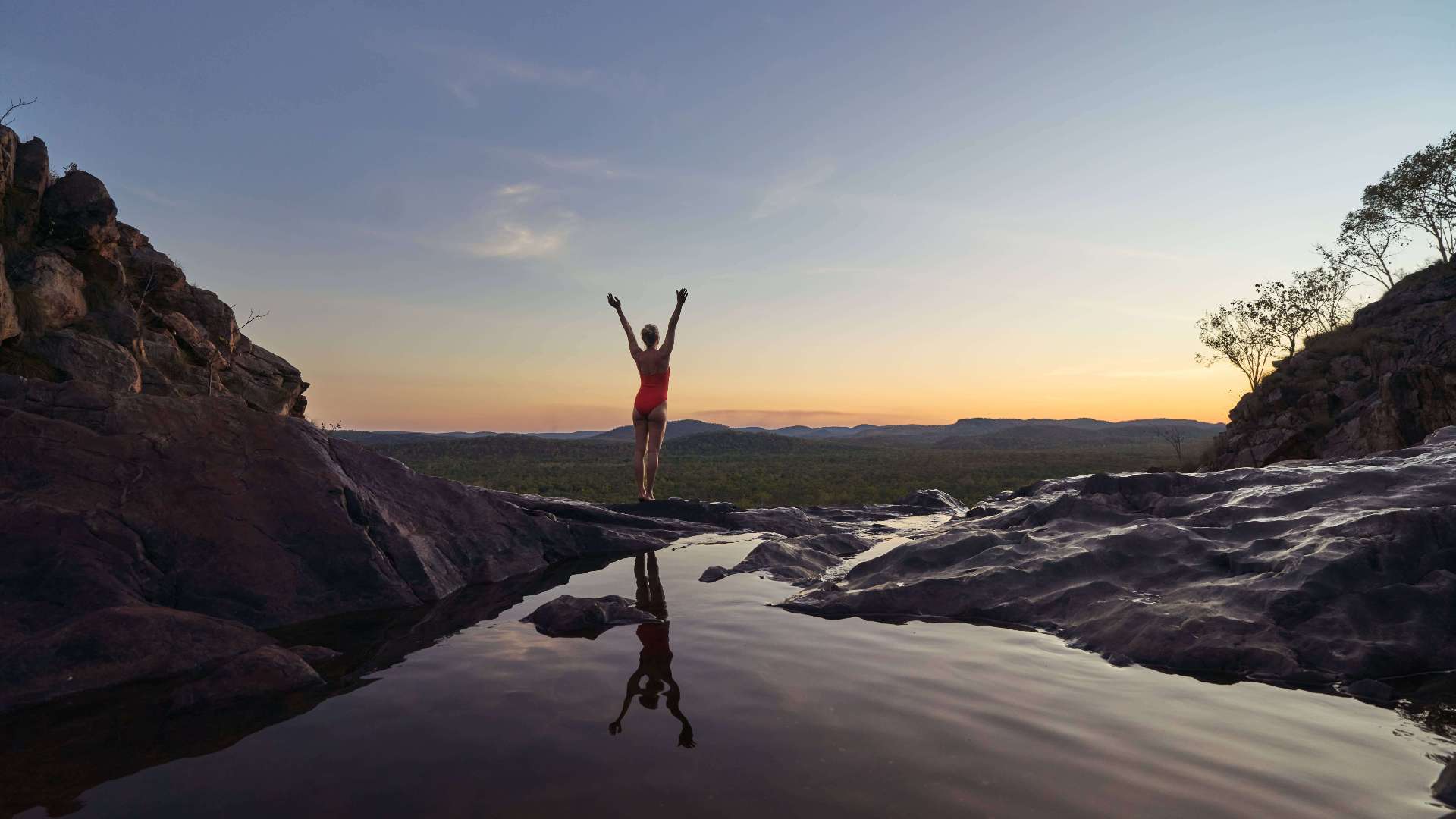 Kakadu
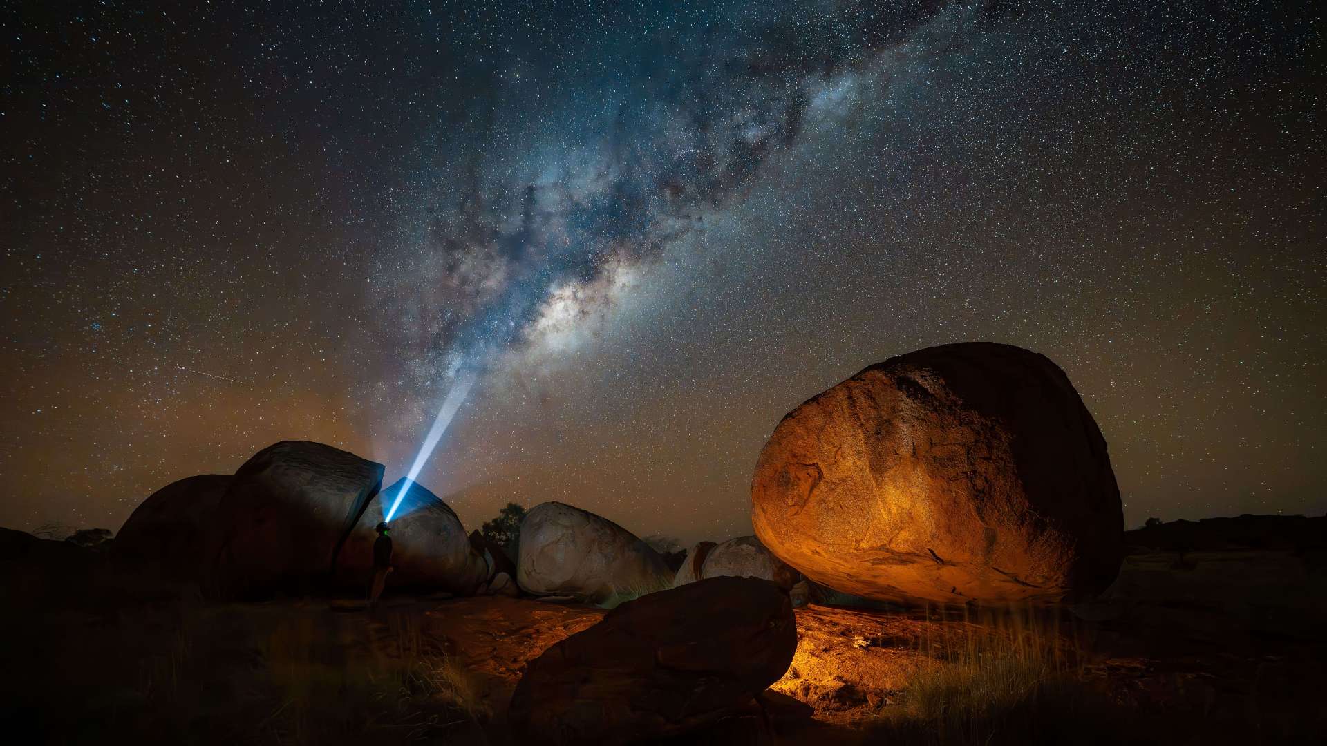
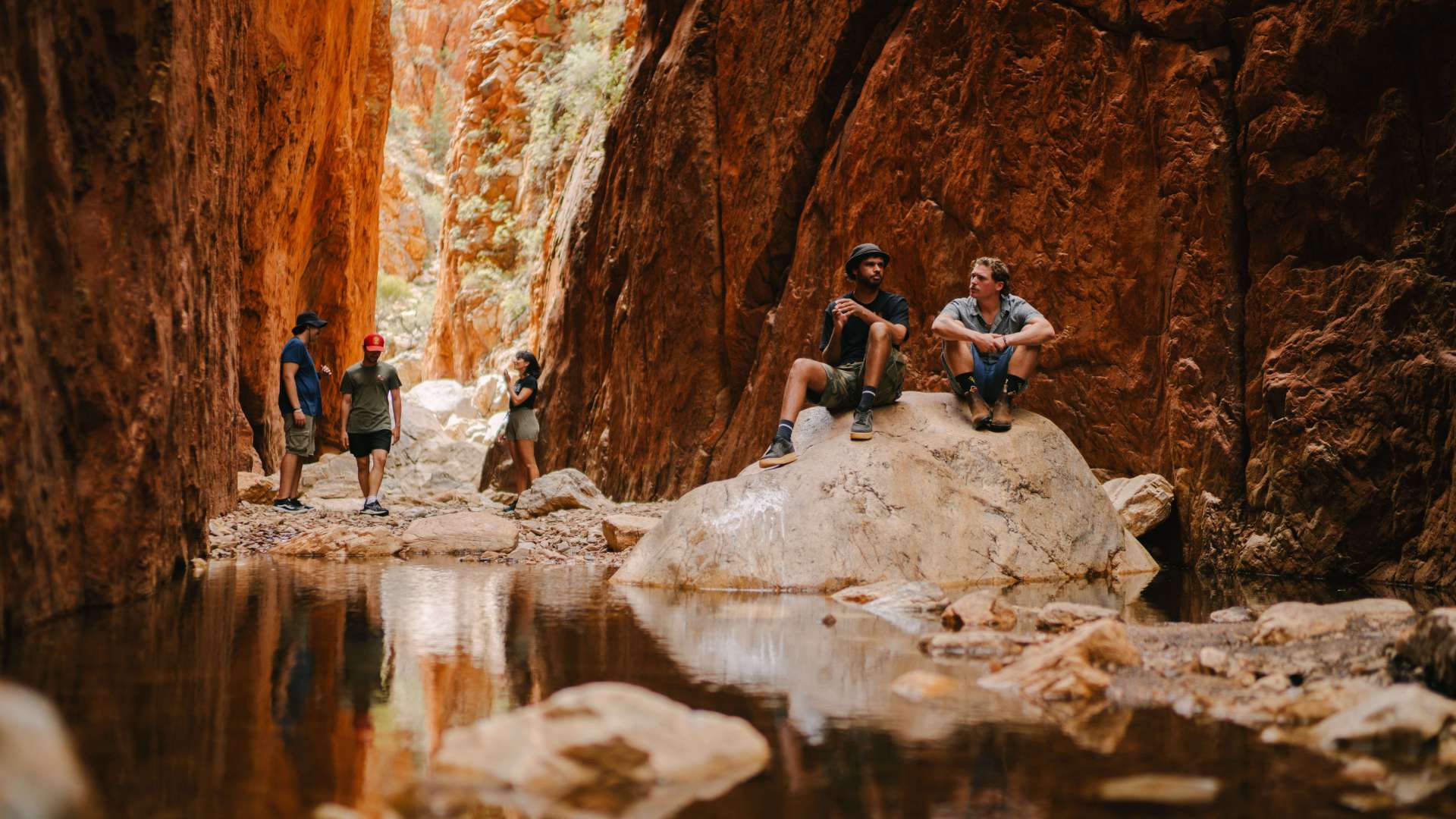 Alice Springs & Surrounds
 Darwin & Surrounds
 Tennant Creek & Barkly Region
 Arnhem Land
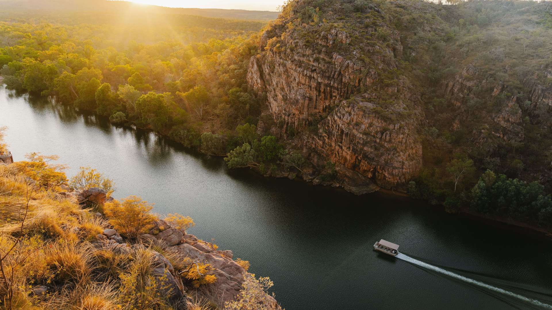 Katherine & Surrounds
 Canberra Region

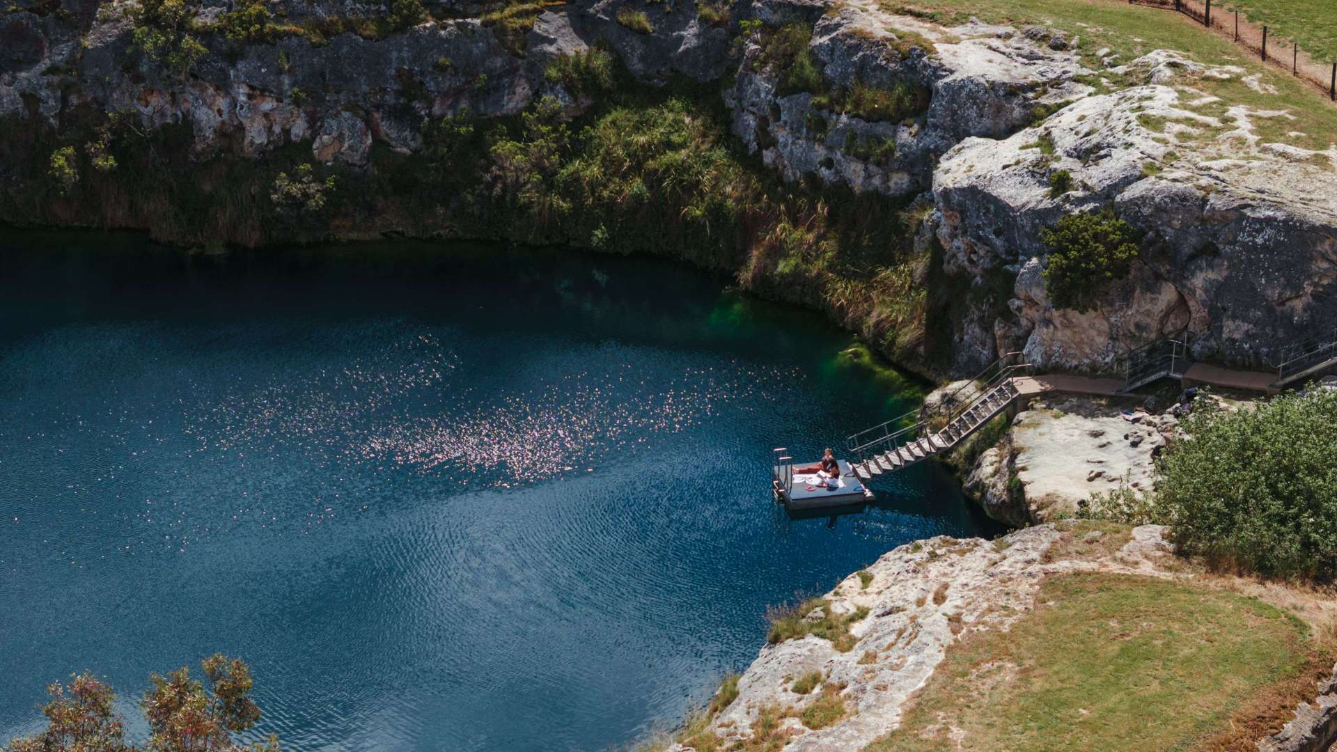
Waukarie Creek
 Make a Booking
Waukarie Creek
Olive Grove Trailhead, Quorn, South Australia, Australia, 5433
Waukarie Creek lies at the northern end of a 5km long hill which rises to Mount Brown. The watercourse follows a contorted roue cut through ABC Range quartzite and limestone sediments of the Wonoka Formation from Richman Valley to Pichi Richi Pass at Woolshed Flat. Waukarie is an Aboriginal name meaning 'eroded gully'.
Self-Guided Walk:
A 5.8km linear walk from Olive Grove Trailhead to Woolshed Flat Railway Station. Either walk along the creek to your car, or arrange for a car at each end, or best of all, arrange transport so that you are dropped of at Olive Grove and return to Quorn on the Pichi Richi Train (you will need to book!). Allow 3 hours for the walk.
The walk follows the Heysen Trail but leaves it it as you climb out of the creek.
Address
Olive Grove Trailhead, Quorn, South Australia, Australia, 5433
Phone
1800 220 980
Make a Booking
You might also like...
 District Council of Cleve, South Australia
1 / 1

Starting Planning your next thing With Us
Your next big adventure awaits, and Things to Do is here to help make that run smoothly! Join today and take advantage of our easy to use features.
Join Now