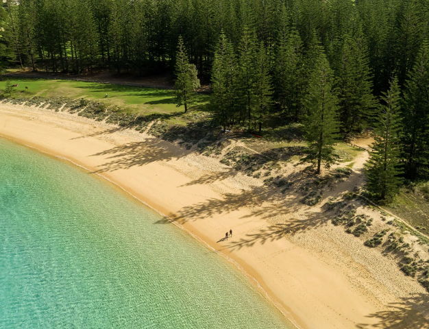
 Norfolk Island
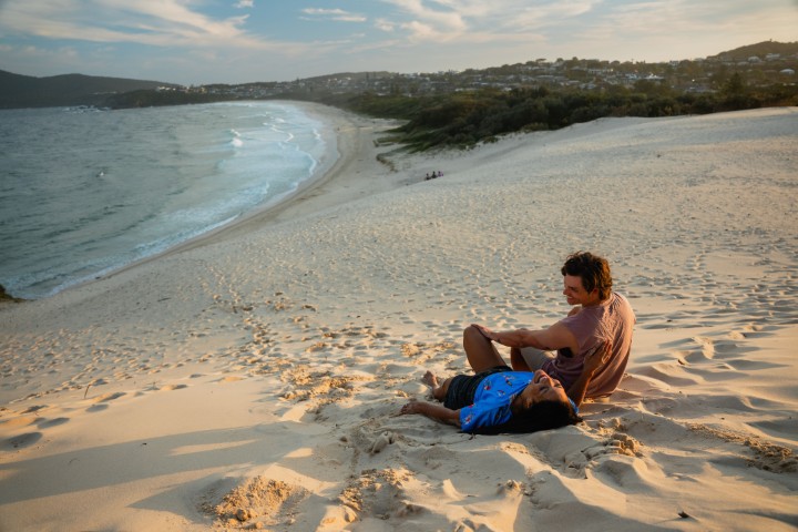
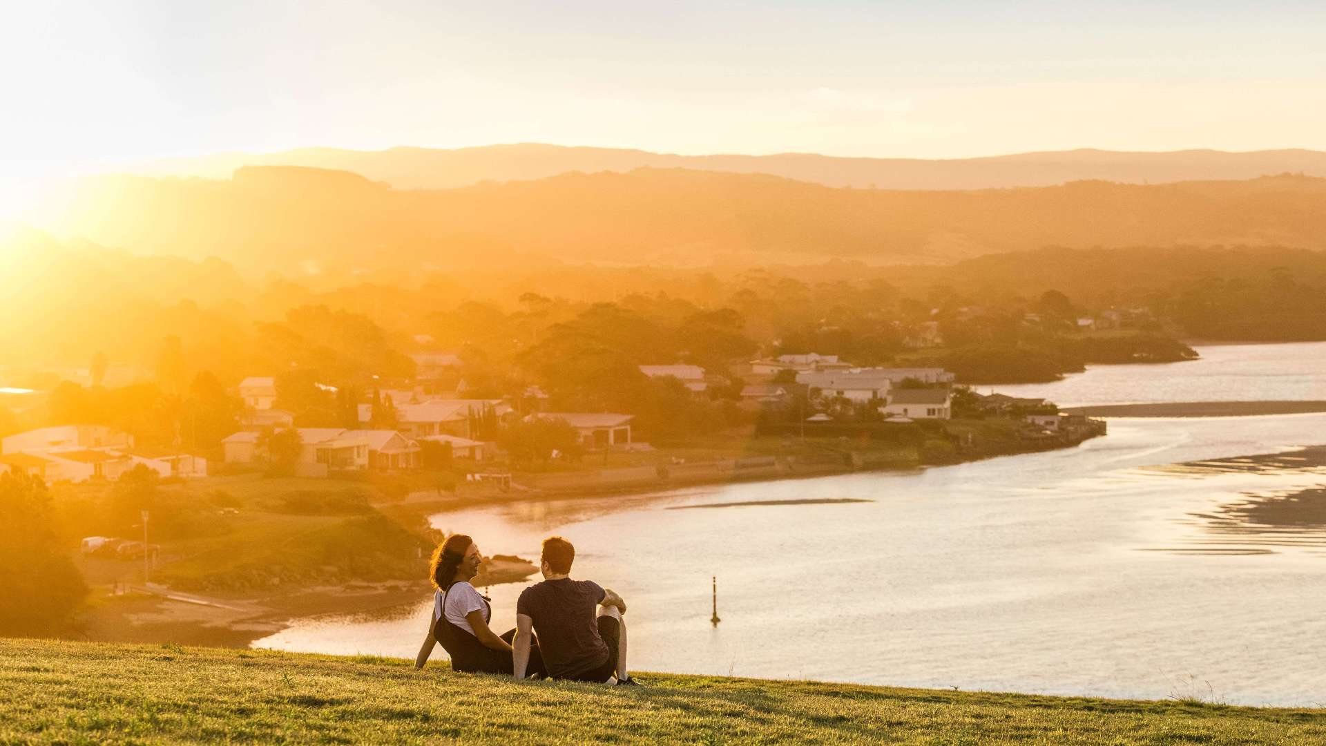 South Coast
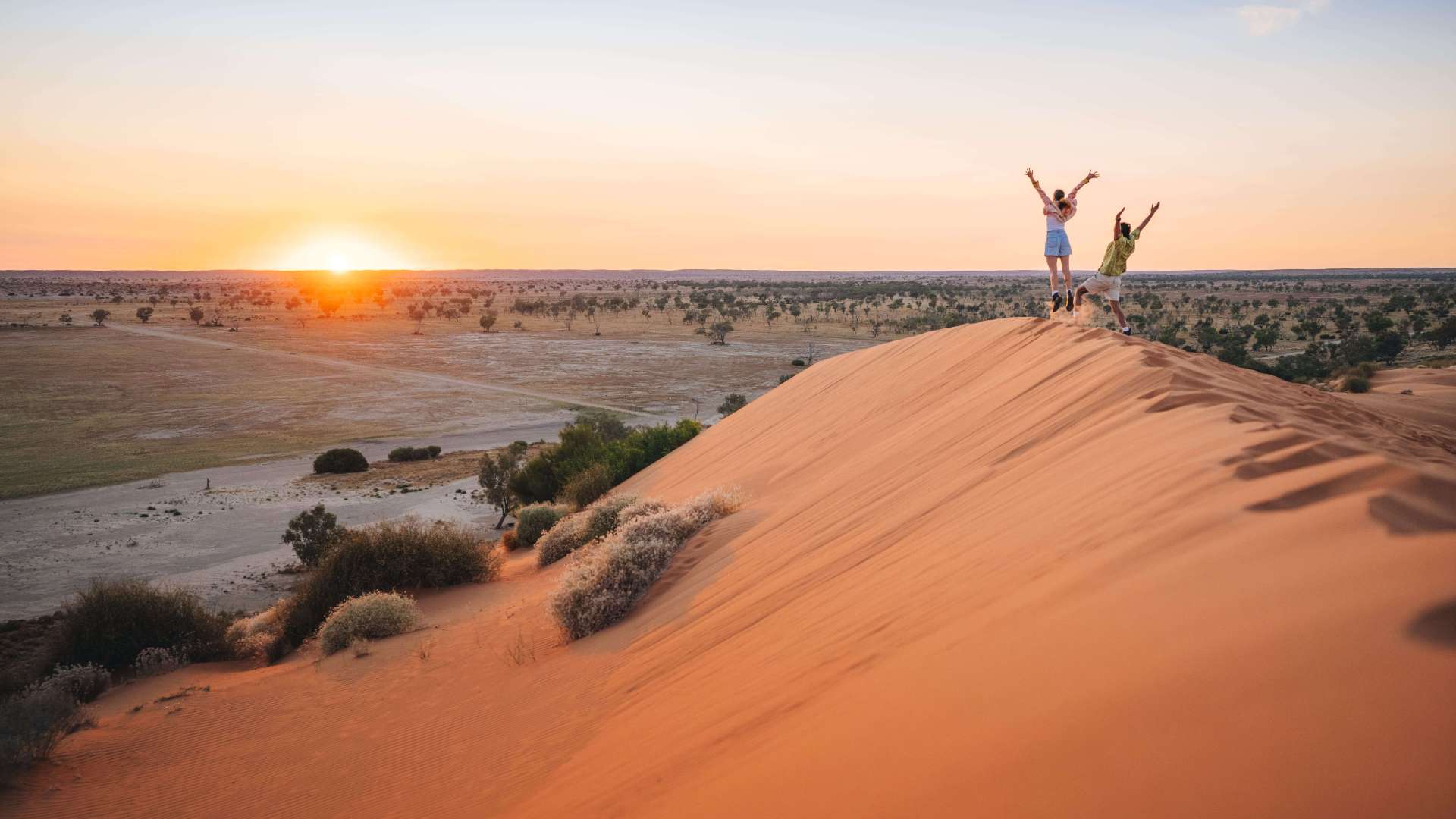
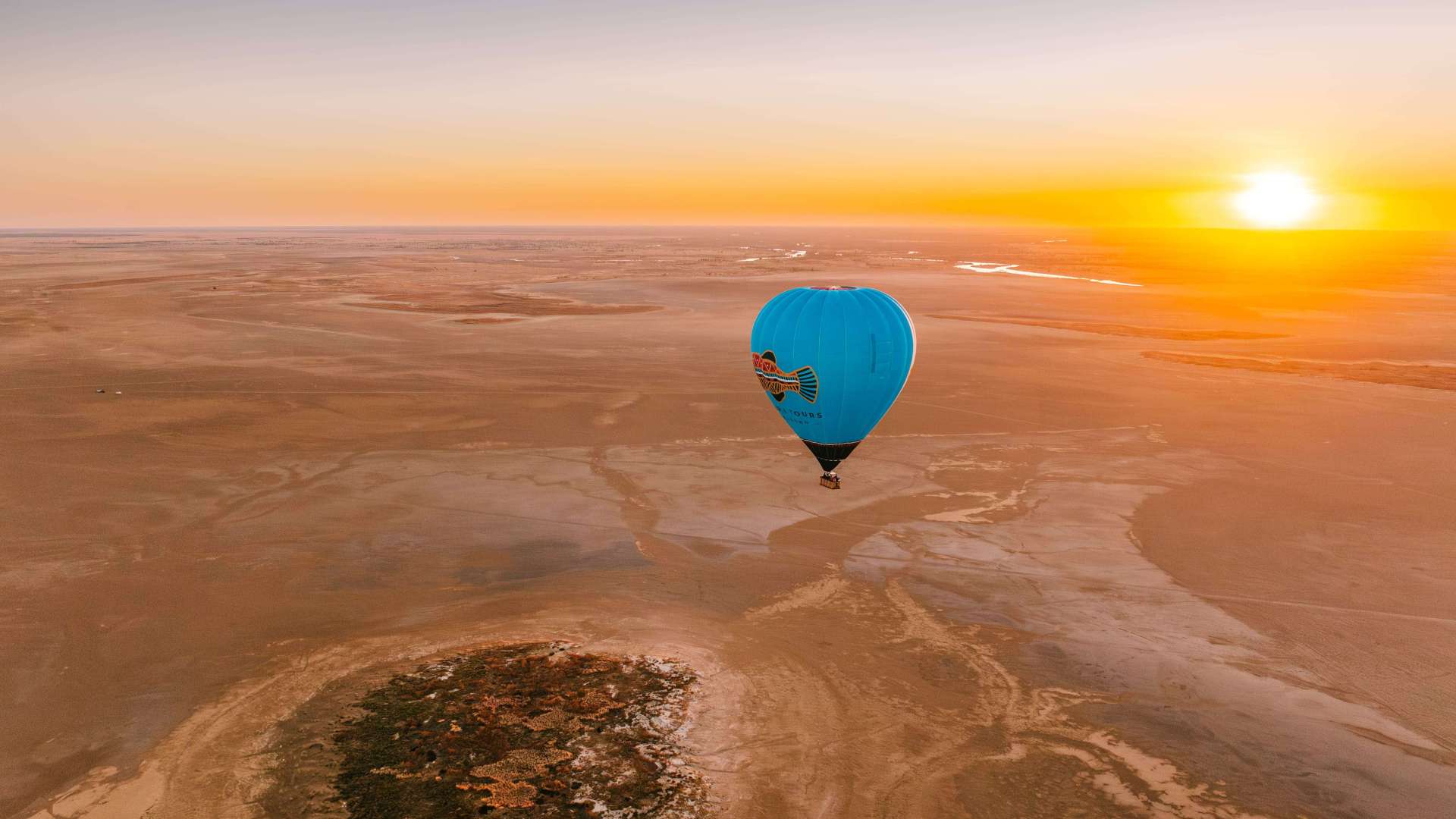
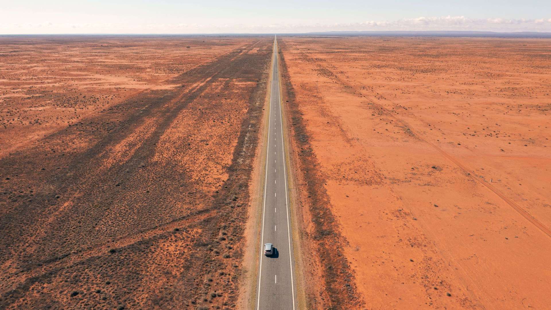 Outback NSW
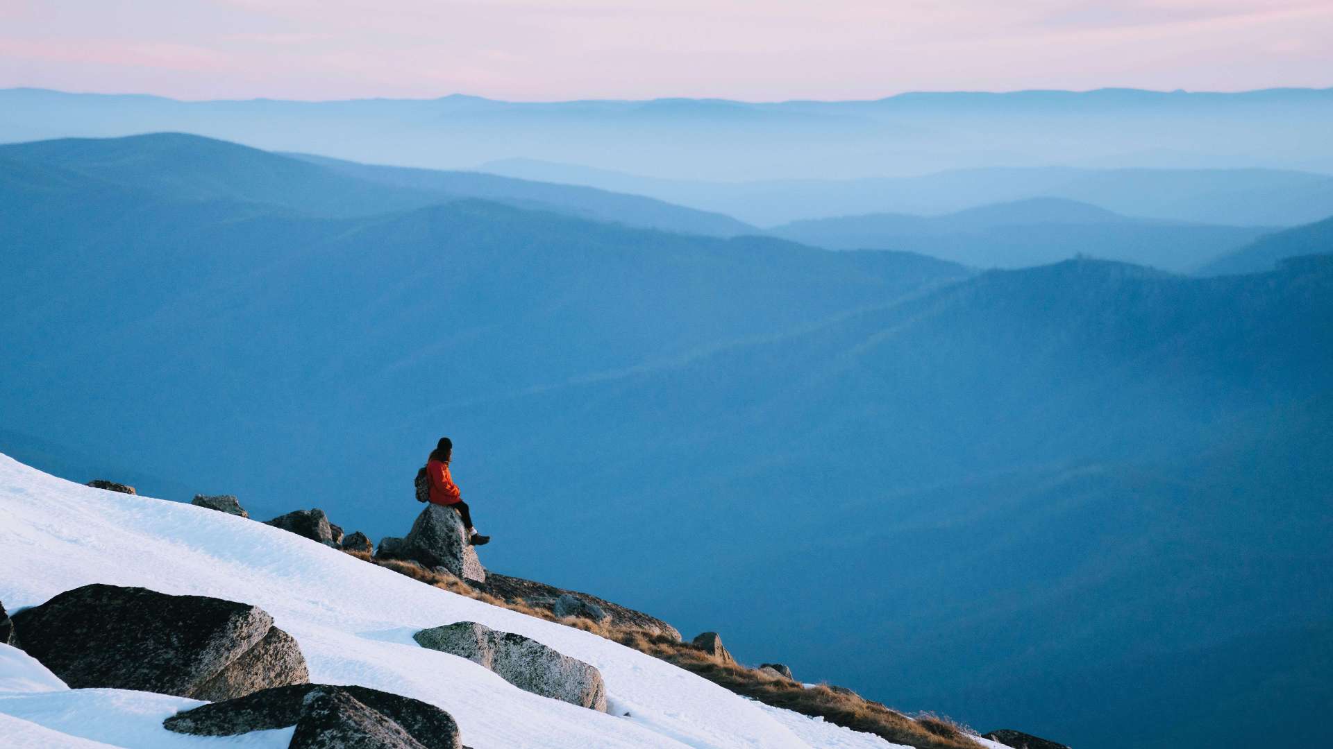 Snowy Mountains
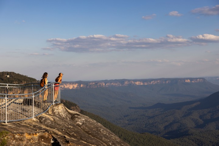 Blue Mountains
 North Coast
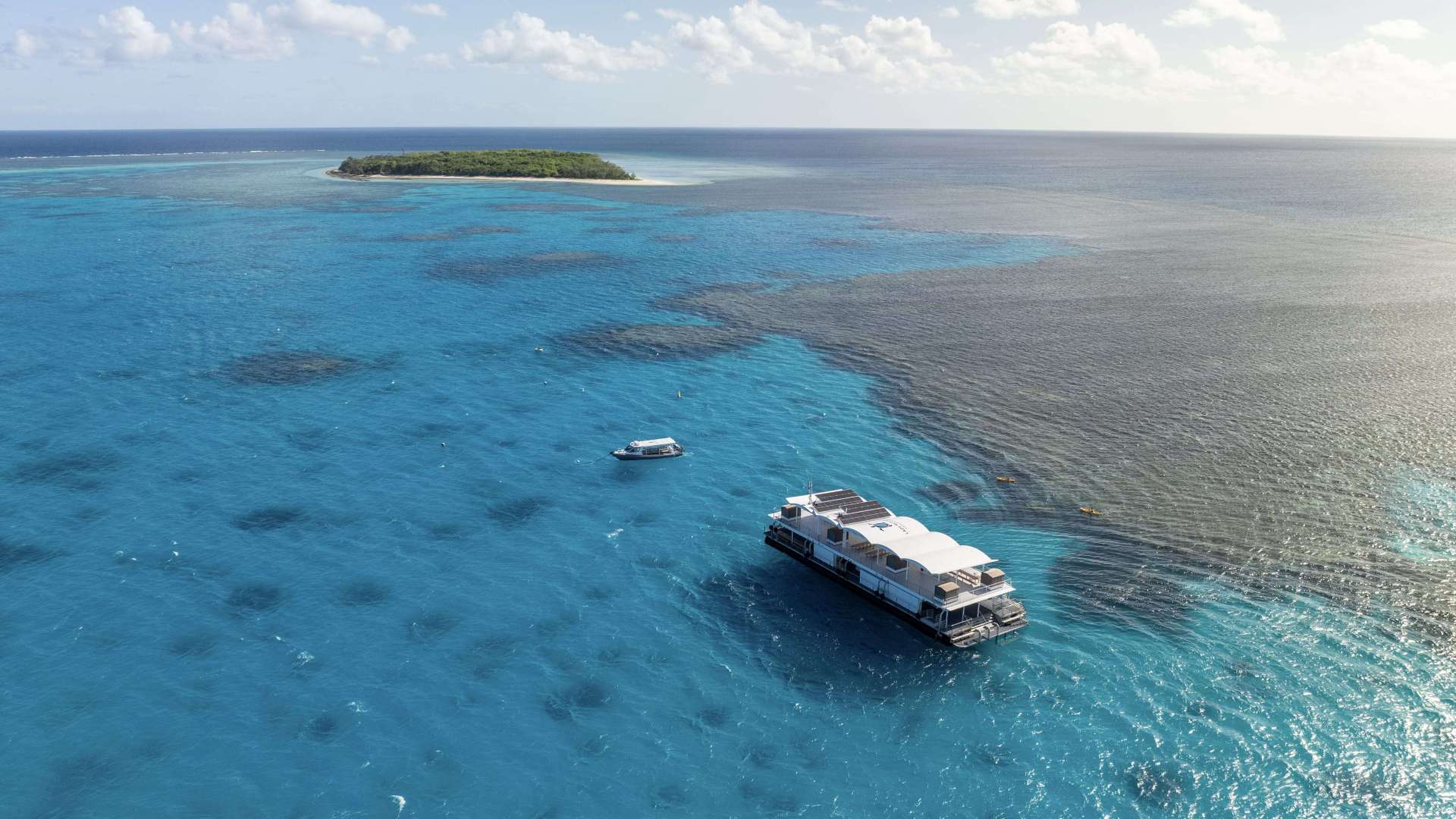
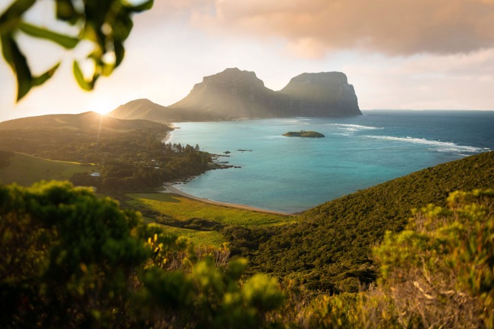 Lord Howe Island
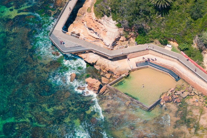 Central Coast
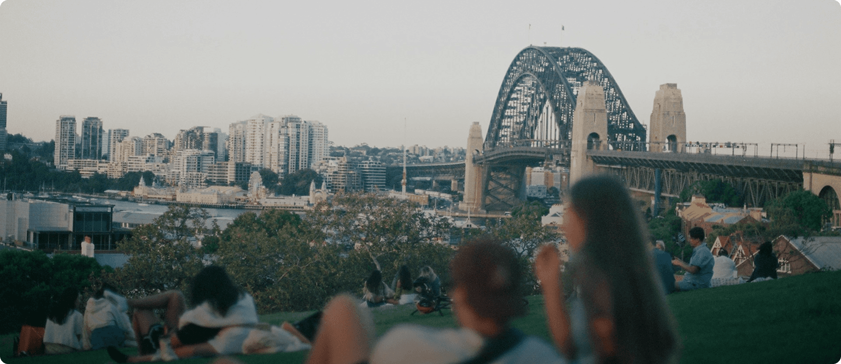
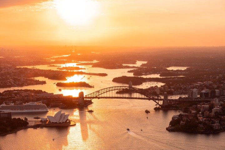 Greater Sydney
 Country NSW

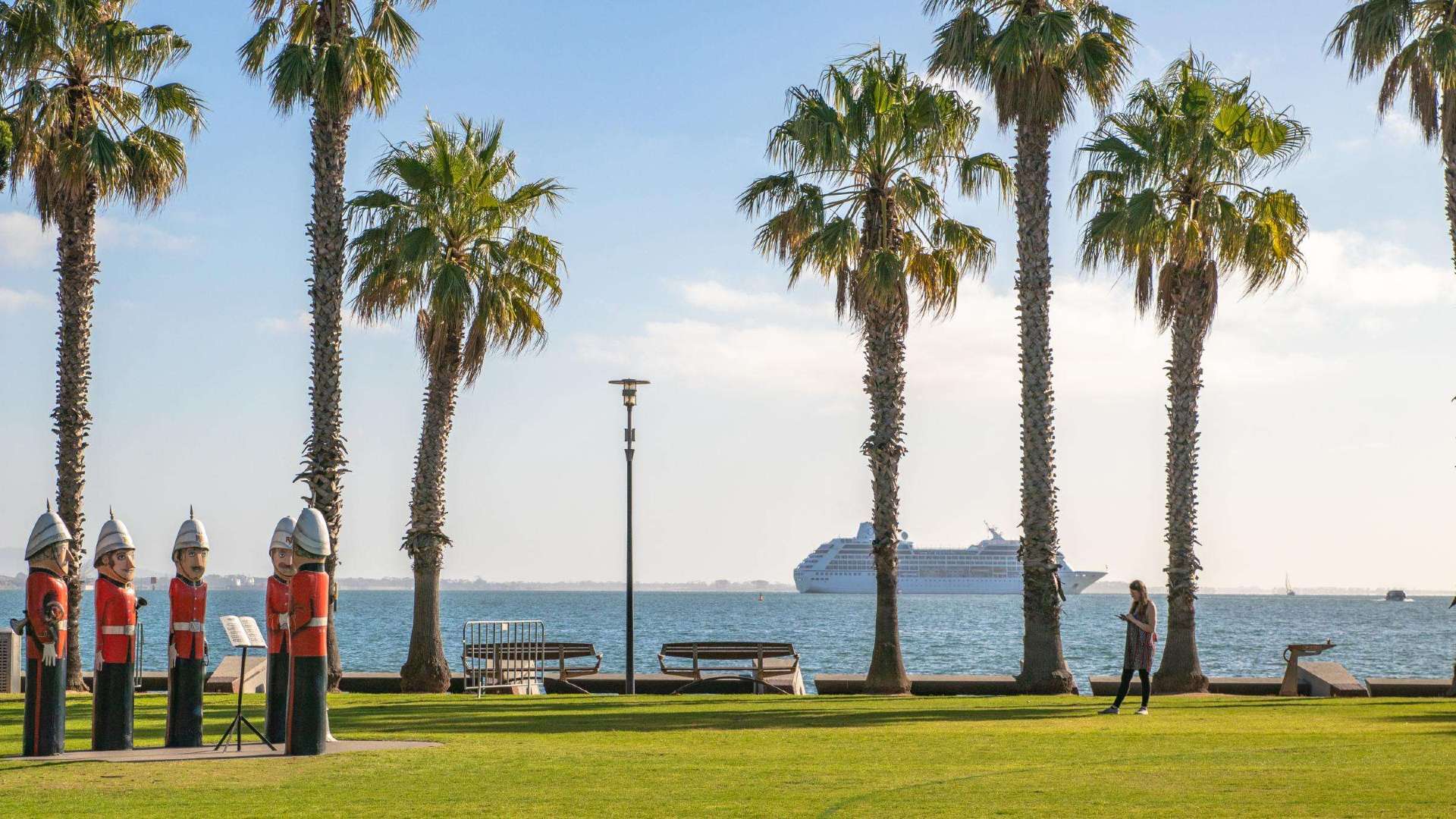 Geelong & the Bellarine
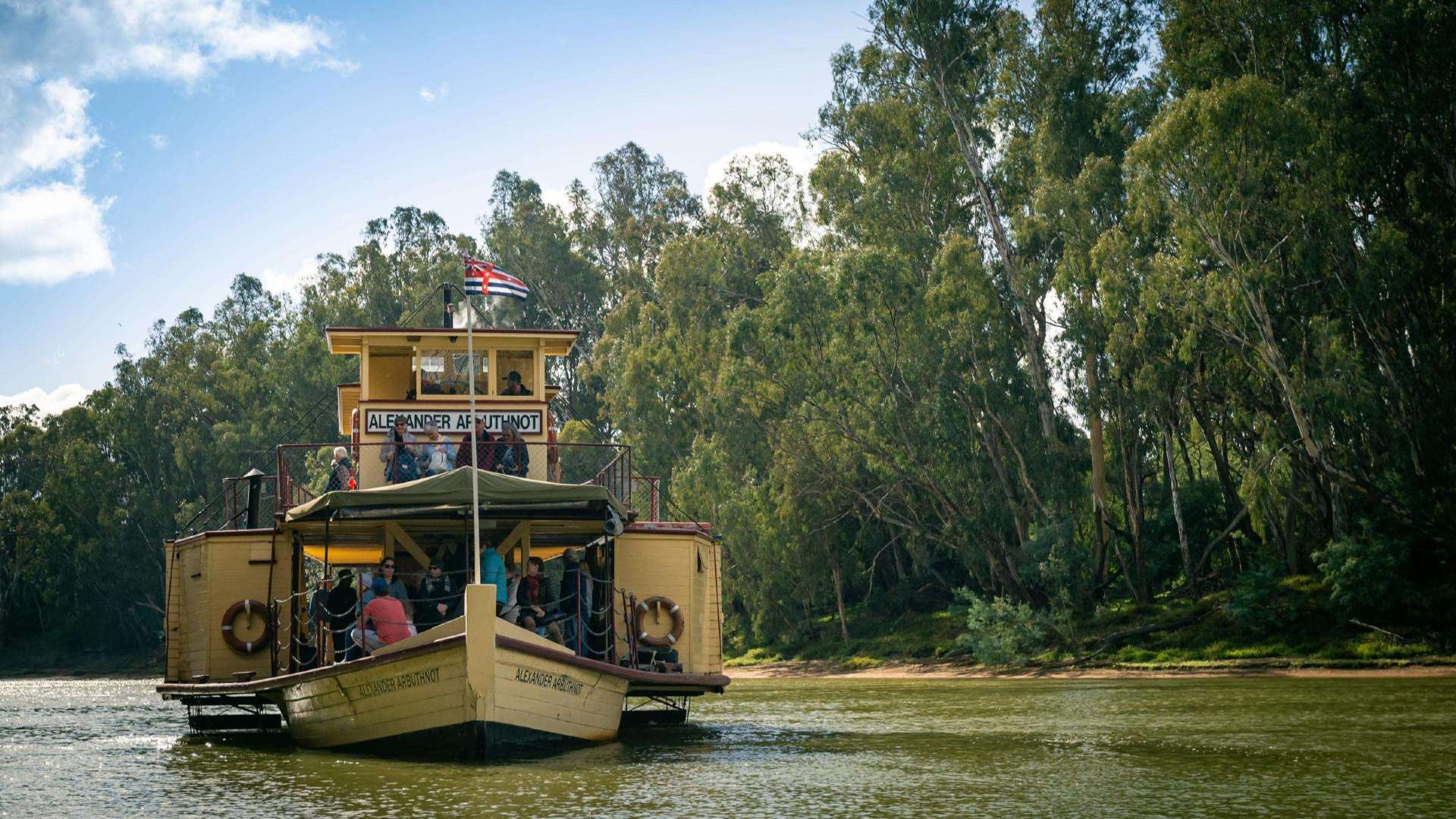 The Murray
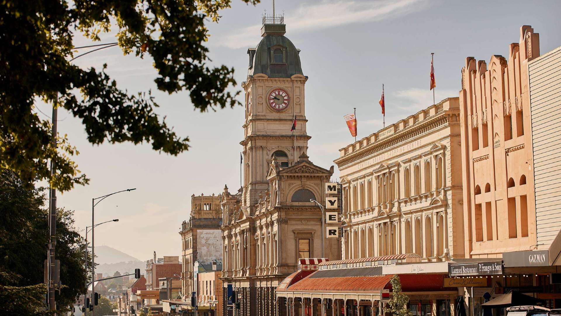 Goldfields
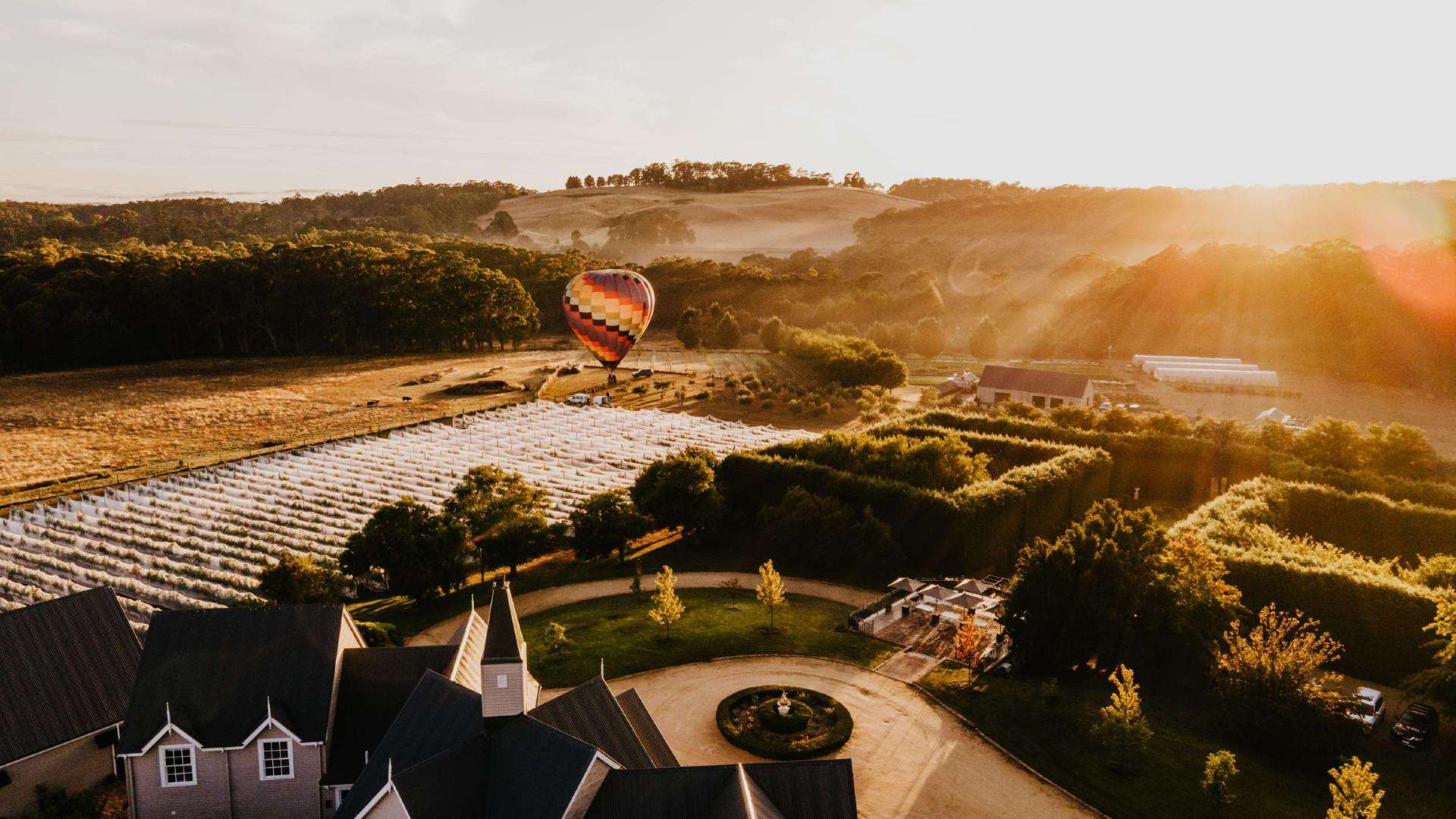 Daylesford & the Macedon Ranges
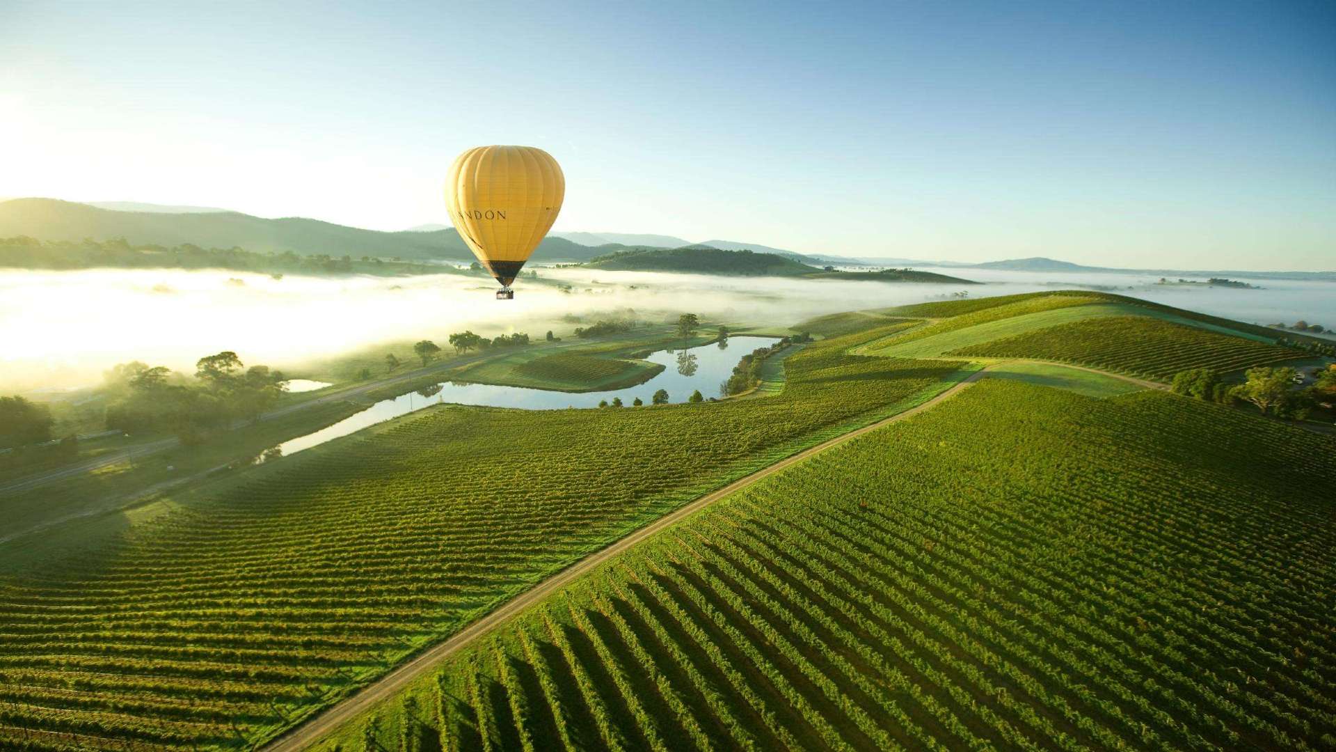 Yarra Valley & Dandenong Ranges
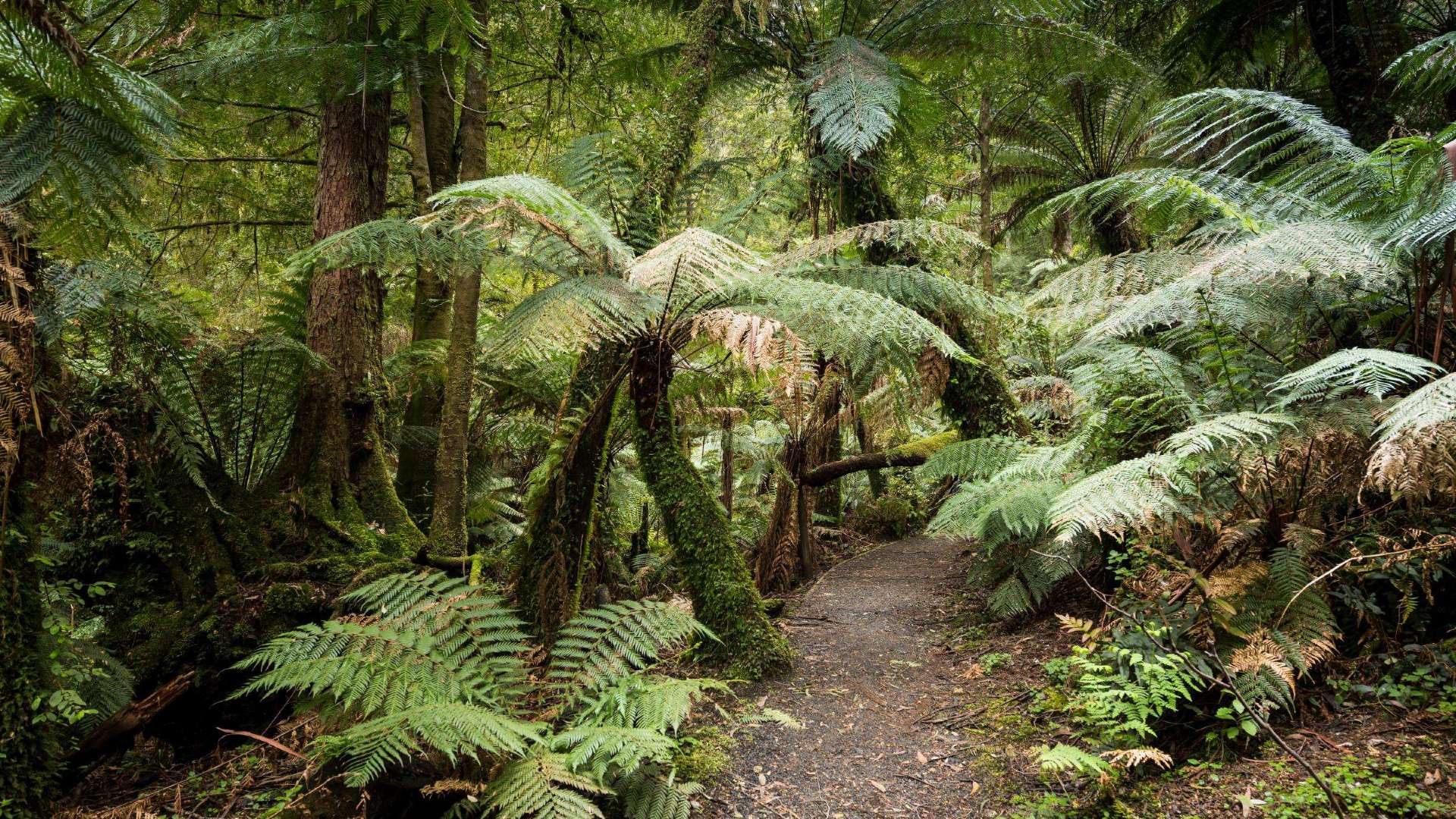 Gippsland
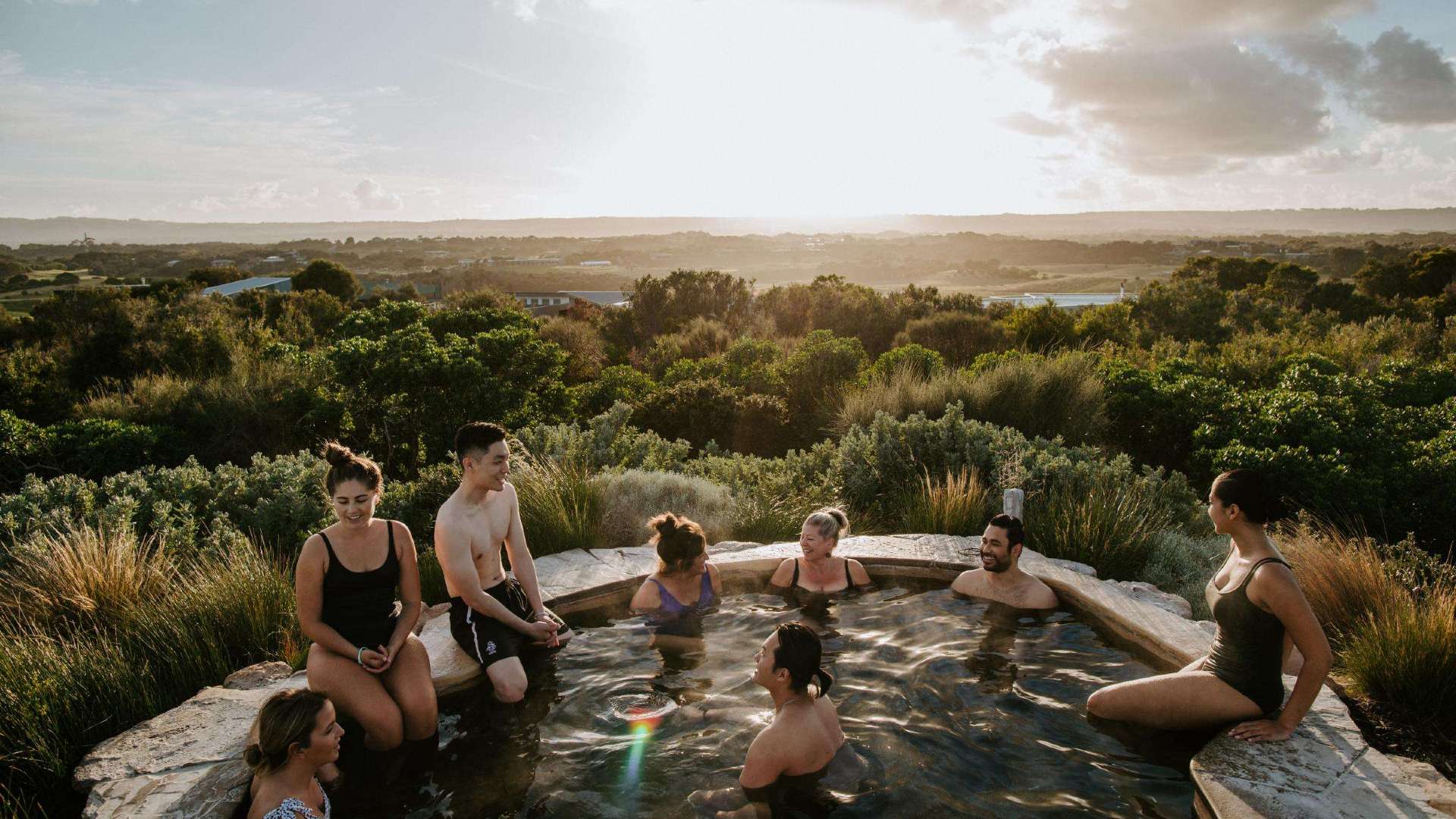 Mornington Peninsula
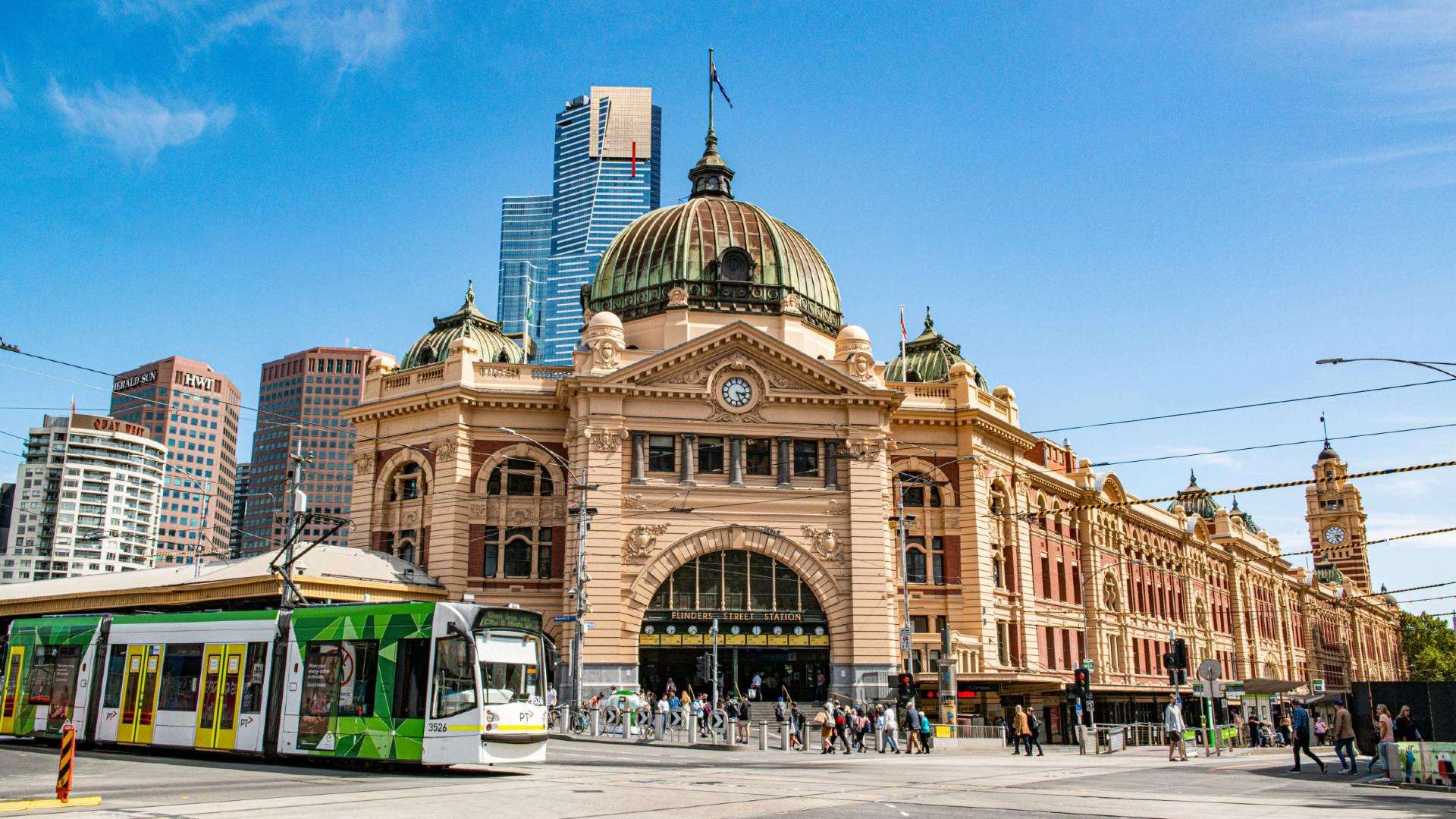 Melbourne
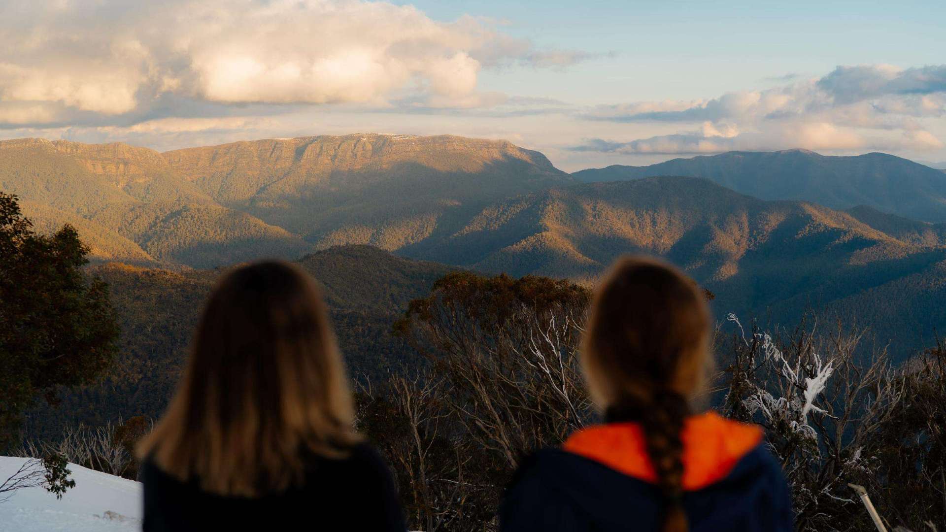 High Country
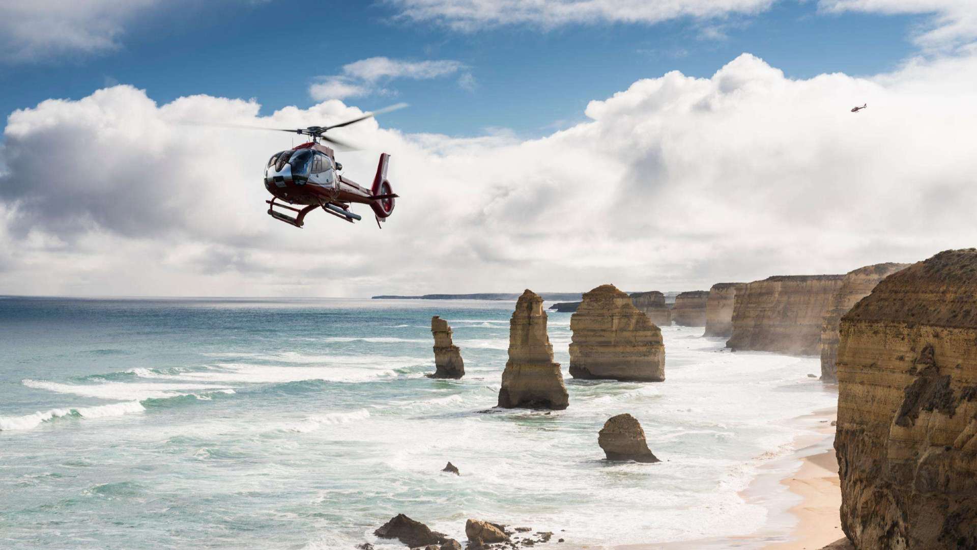 Great Ocean Road
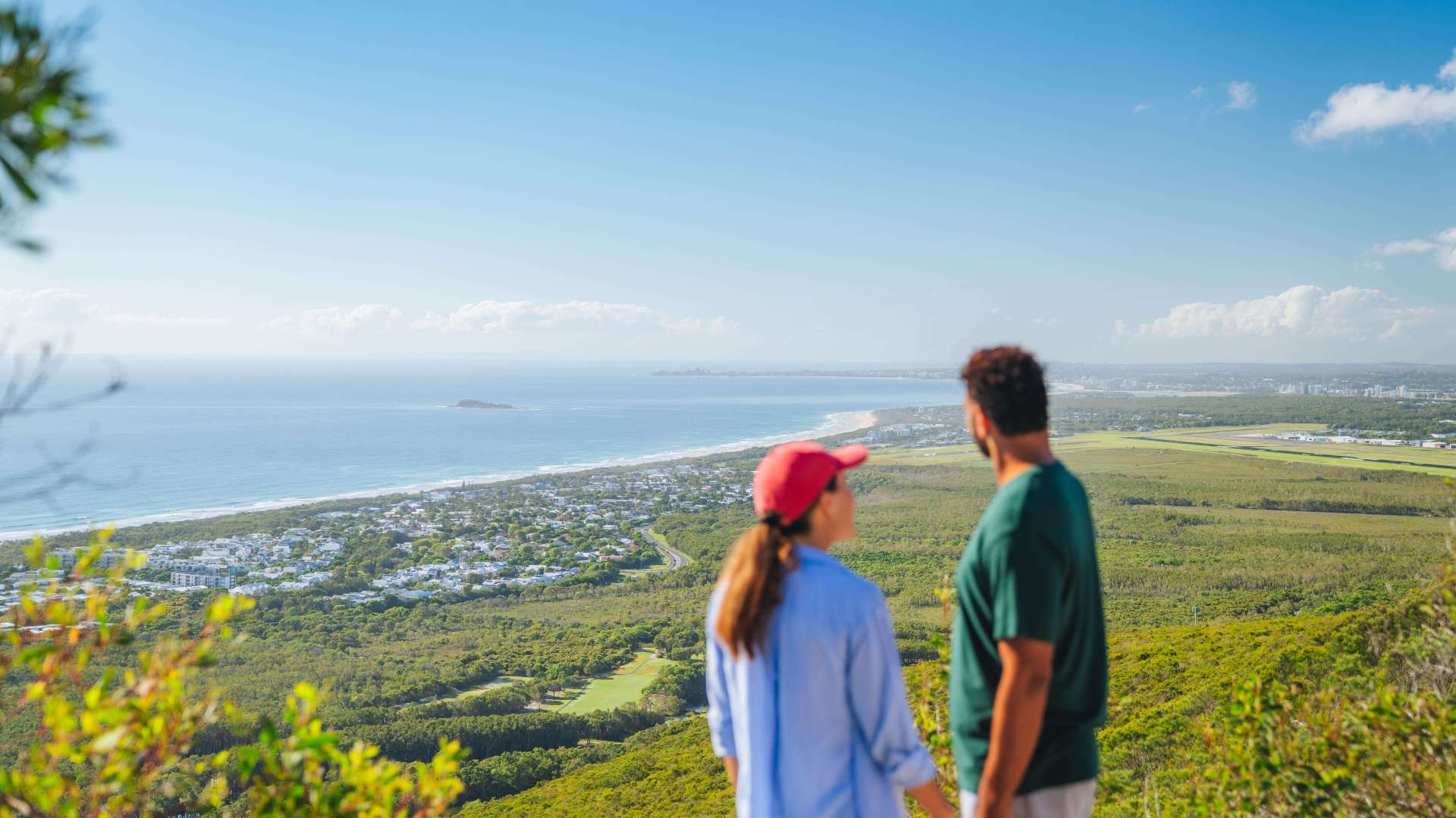 Sunshine Coast Region
 Mackay Region
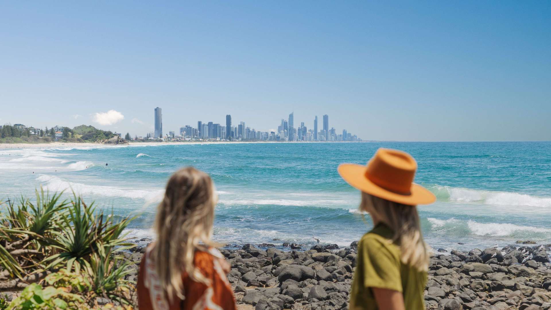 Gold Coast Region
 Far West
 Western Downs Region
 Capricorn Region
 Townsville Region
 Fraser Coast Region
 Gulf Savannah
 Gladstone Region
 Cocos (Keeling) Islands
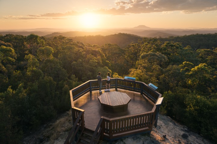
Carappee Hill Conservation Park Hiking Trail
 Make a Booking


Carappee Hill Conservation Park Hiking Trail
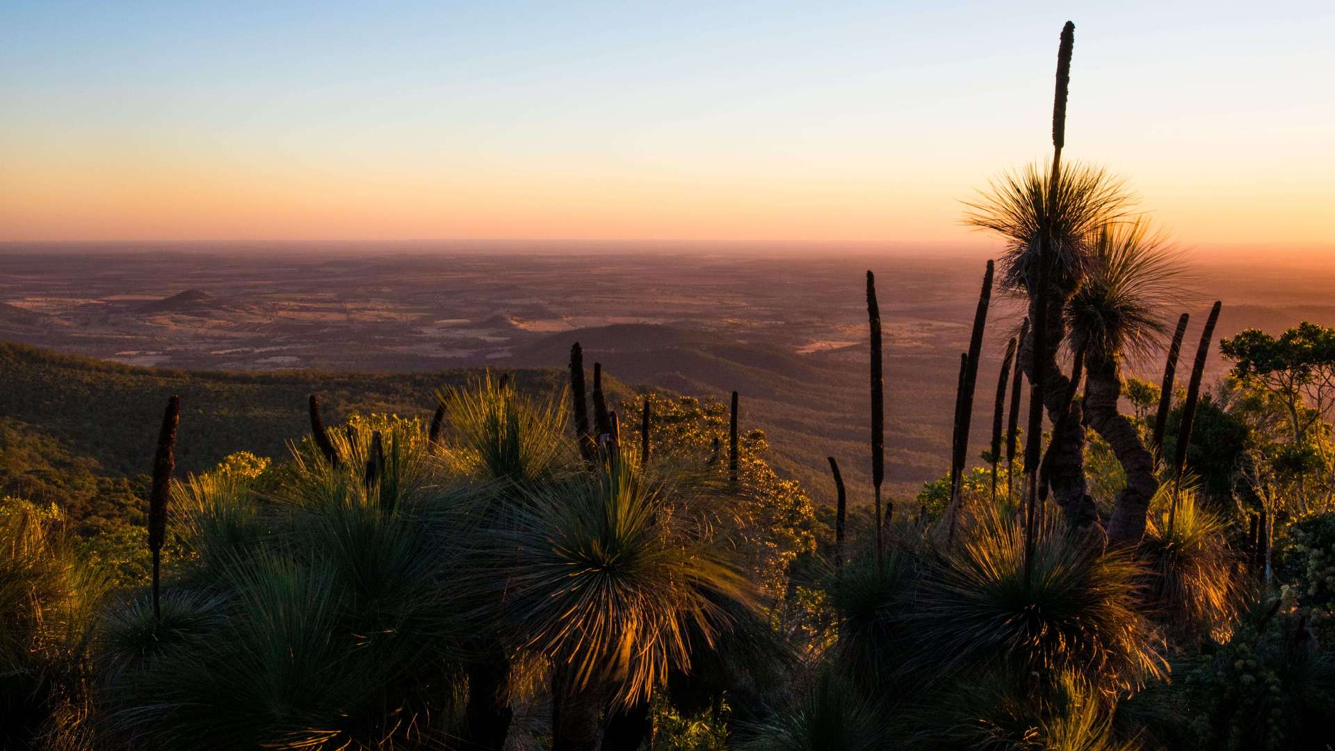
Carappee Hill means 'place of water' and became a conservation park in 1973, covering 850 hectares. Carappee Hill Hiking Trail can be found on Carappee Hill Road, just out of Darke Peak, SA.
It is a 2 hour approximate return hike to the top and is the highest point on the Eyre Peninsula at 489m above sea level.
Be sure to sign the visitors book when you reach the top and stop to take in the views of farm land, sea and skies stretching over the entire district of Cleve, Arno Bay and Darke Peak.
Highlights

You might also like...
 Sunshine Coast Area, Queensland
1 / 8


Starting Planning your next thing With Us
Your next big adventure awaits, and Things to Do is here to help make that run smoothly! Join today and take advantage of our easy to use features.
Join Now