 Norfolk Island
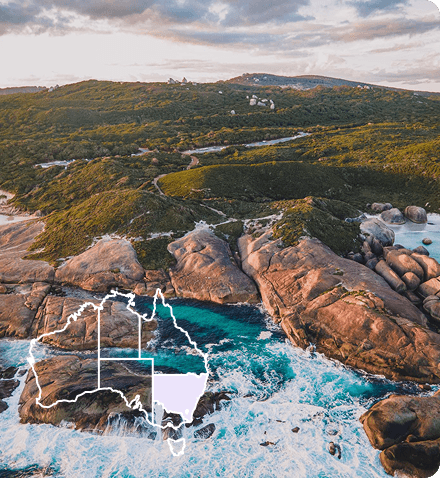
 South Coast
 Outback NSW
 Snowy Mountains
 Blue Mountains
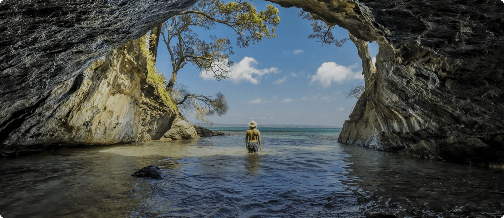
 Lord Howe Island
 Central Coast
 Greater Sydney
 Country NSW


 Join Now


Mount Roland
Mount Roland stands at 1233 metres above sea level and provides a stunning backdrop to the Kentish Municipality. The walk takes in the plains and plateau leading to the summit of the peak and there are two tracks to the summit.
The first - not recommended - the Mt Roland via Kings Road (Face Track), starts from Kings Road, Claude Road Village off the C136 and turns into a steep mountain climb. This track is not recommended as it is potentially dangerous, steep and awkward. Walking time takes from three to five hours return.
The second - and preferred - walking track starts at Gowrie Park Village on O'Neill's Road off the C136 Walking time takes from four to six hours return. This is the easiest track to walk to the summit as it has a moderate incline.
The trig point at the top of the summit provides spectacular 360 degree views to Bass Strait, Cradle Mountain and Barn Bluff.
You might also like...
 Canberra, Australian Capital Territory
1 / 3
Starting Planning your next thing With Us
Your next big adventure awaits, and Things to Do is here to help make that run smoothly! Join today and take advantage of our easy to use features.
Join Now