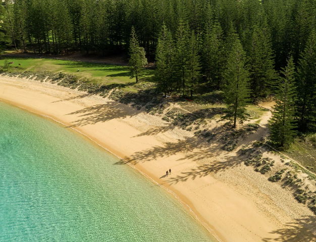
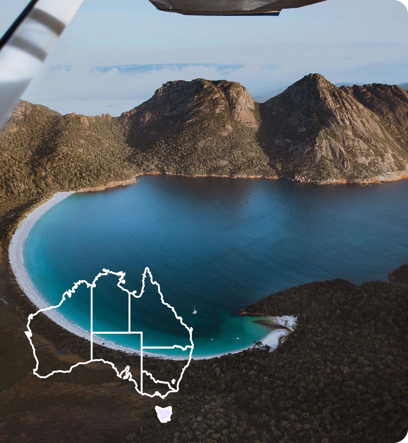
 Norfolk Island
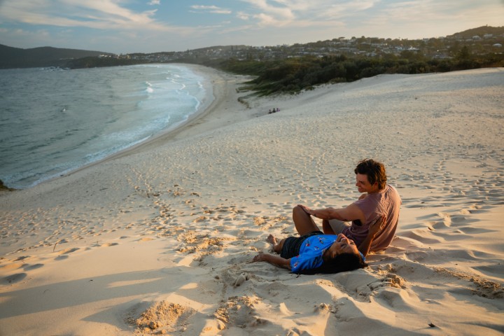
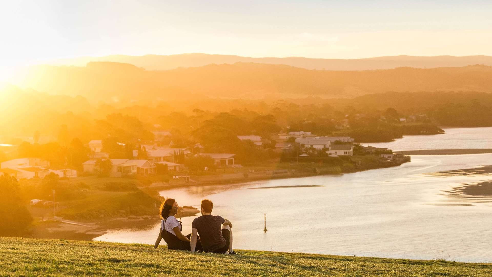 South Coast
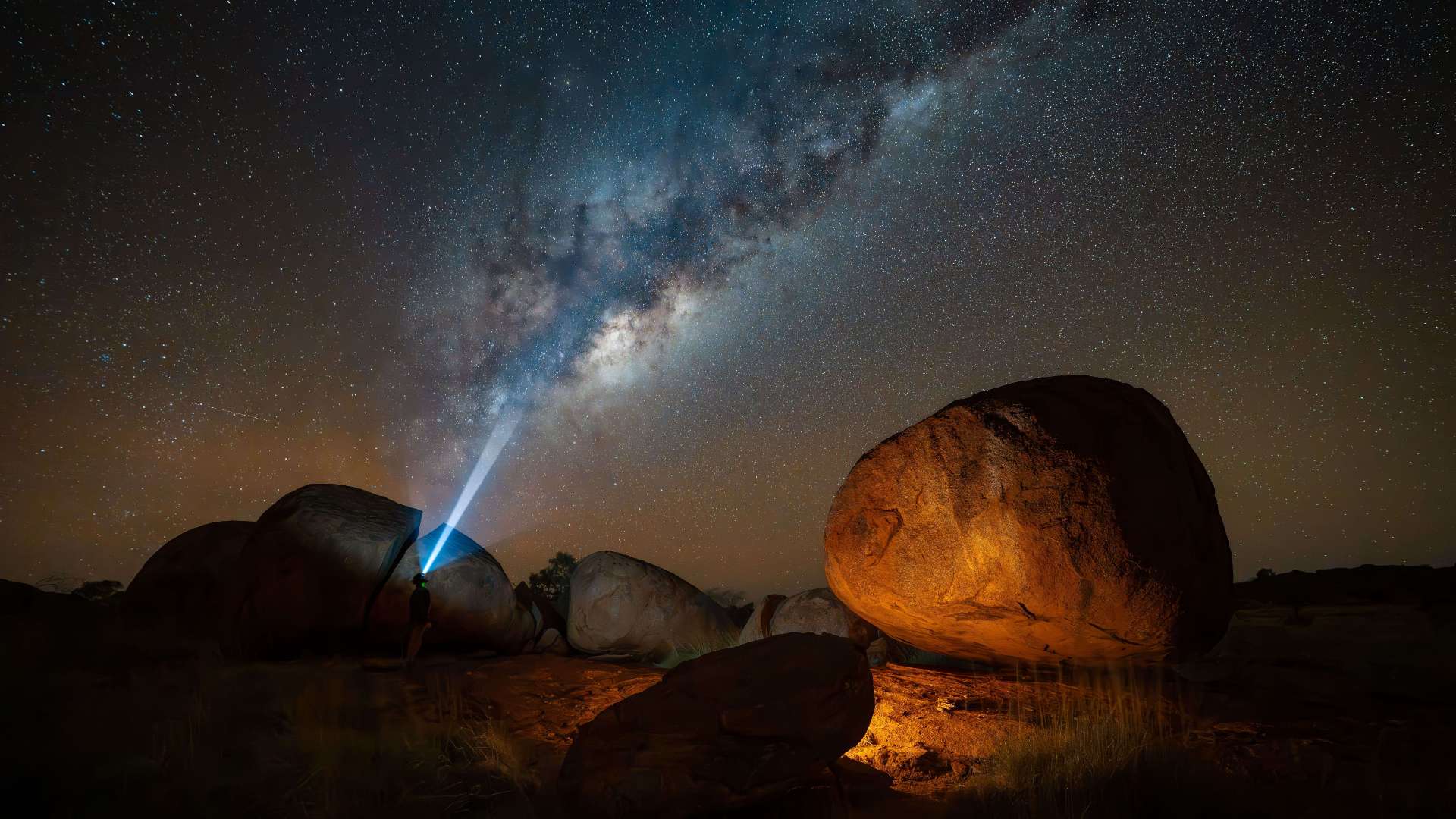
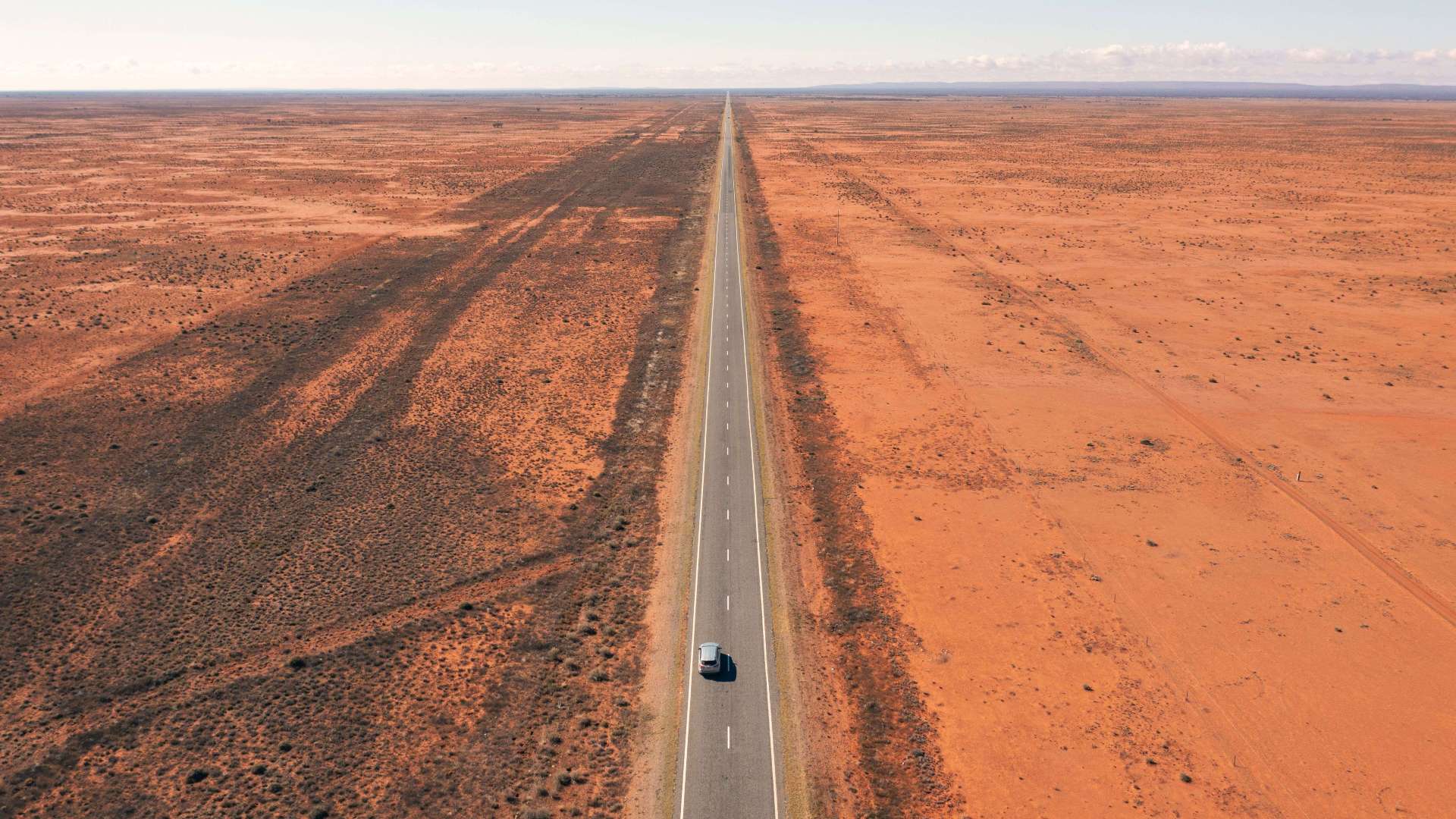 Outback NSW
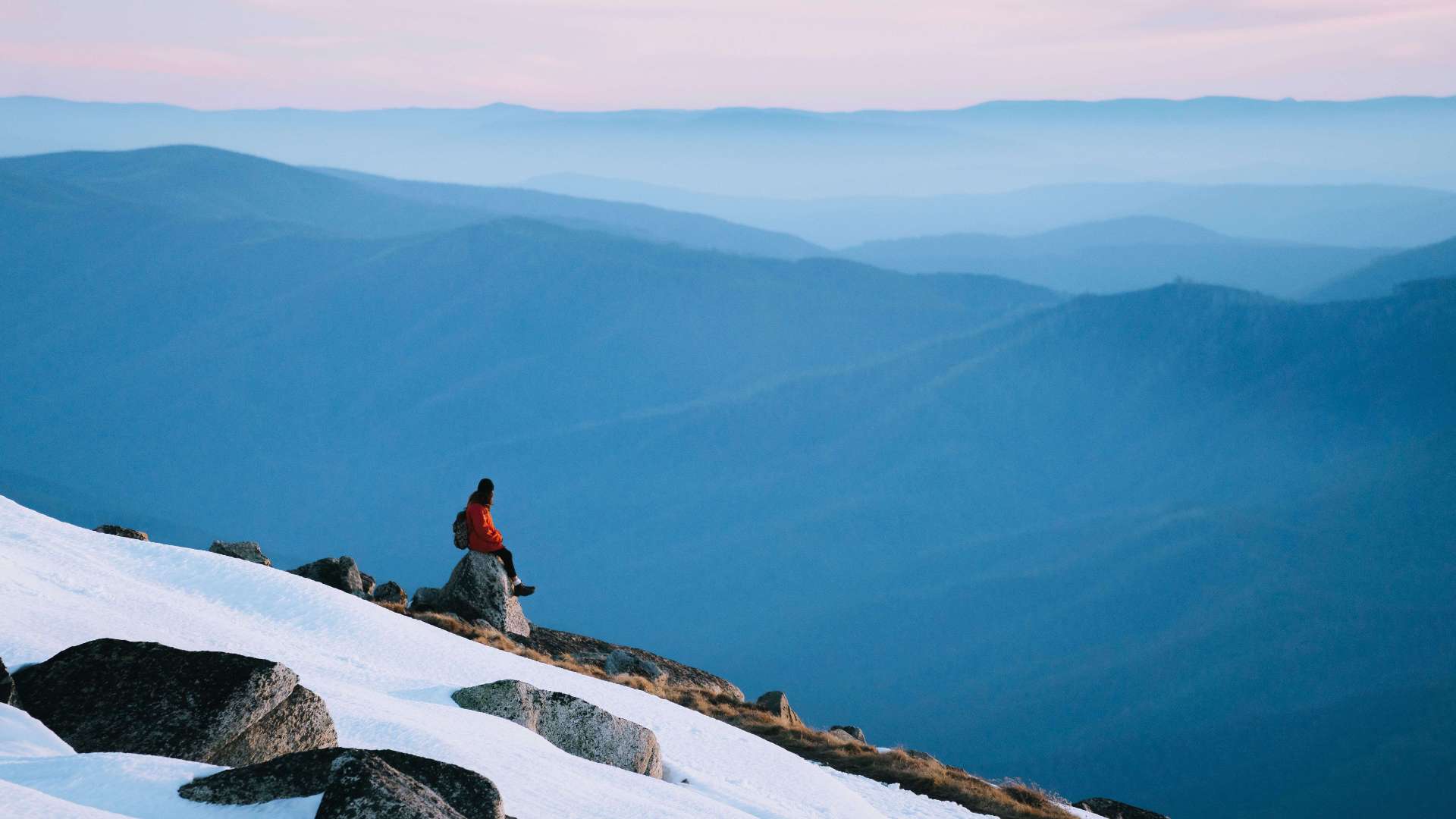 Snowy Mountains
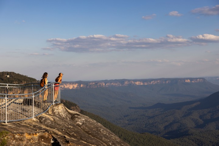 Blue Mountains
 North Coast
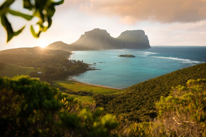 Lord Howe Island
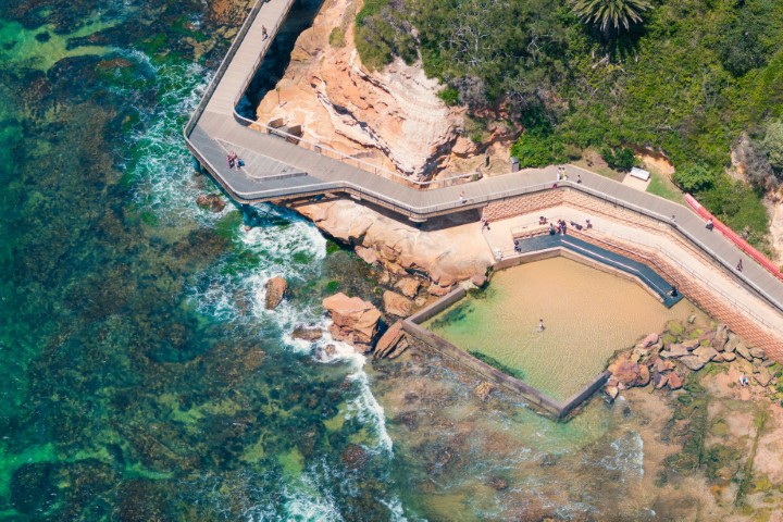 Central Coast
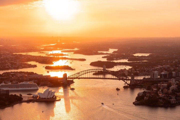 Greater Sydney
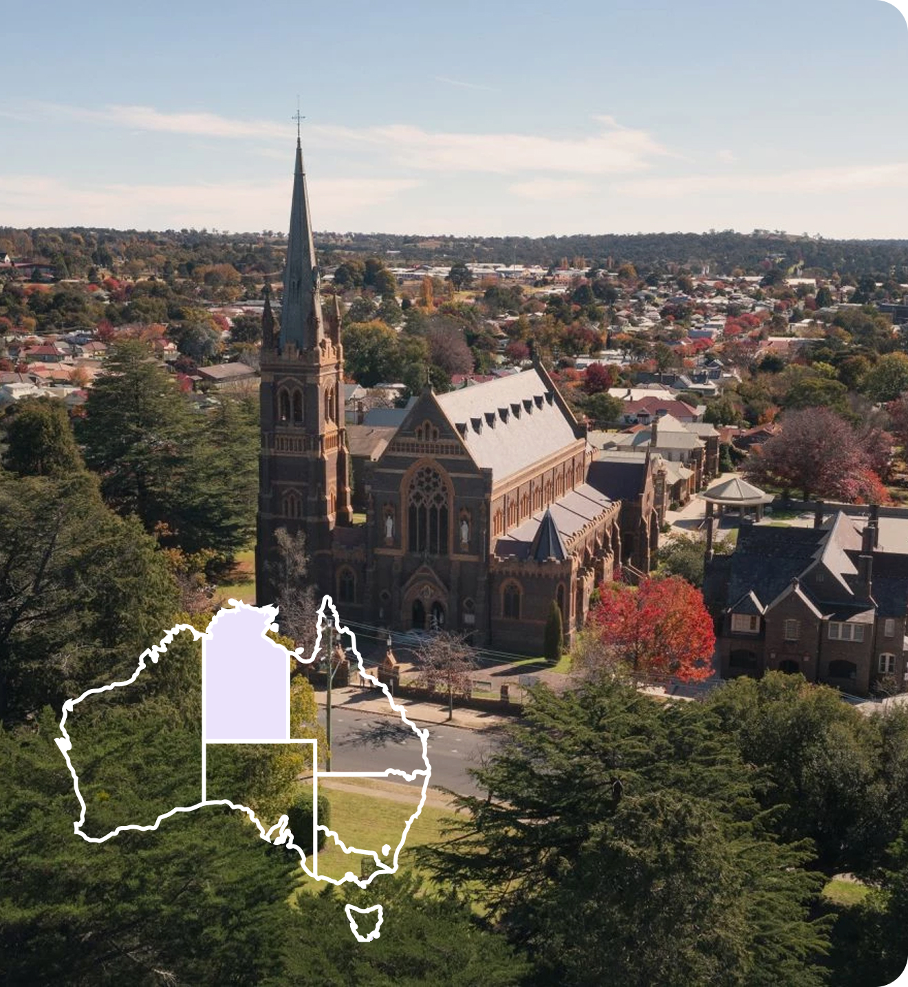
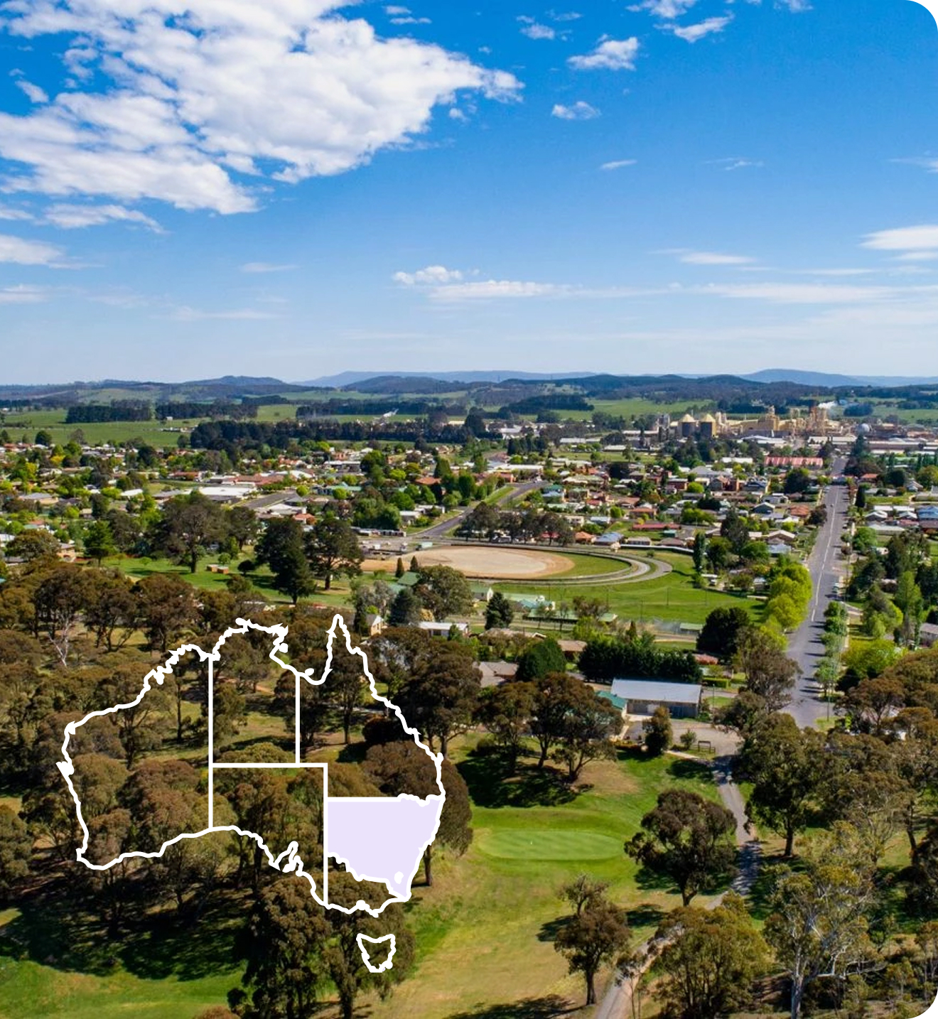
 Country NSW
 Geelong & the Bellarine
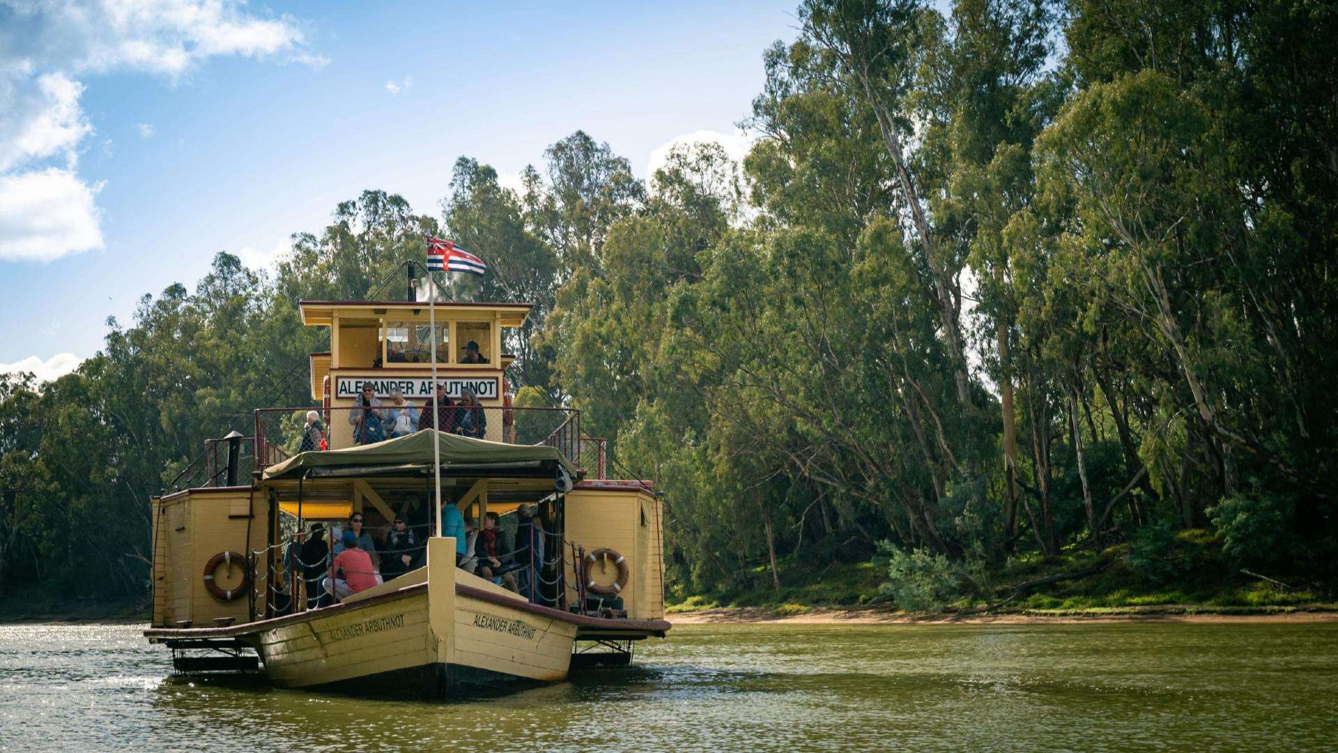 The Murray
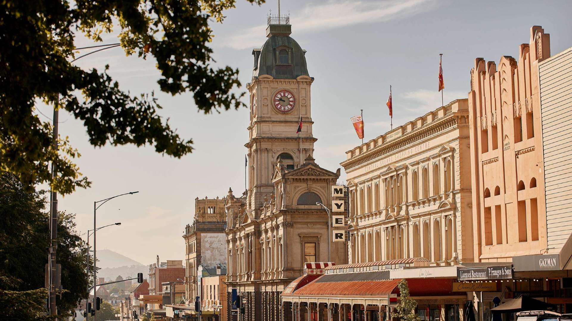 Goldfields
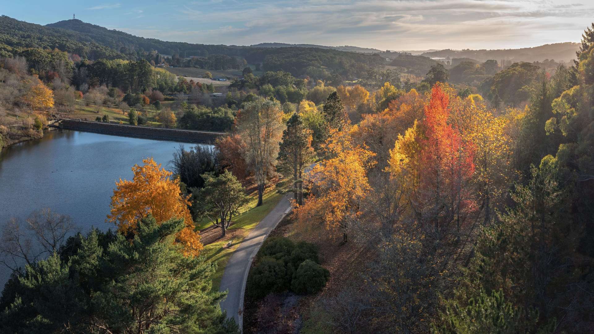
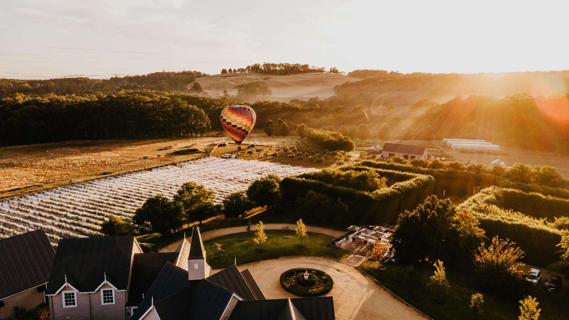 Daylesford & the Macedon Ranges
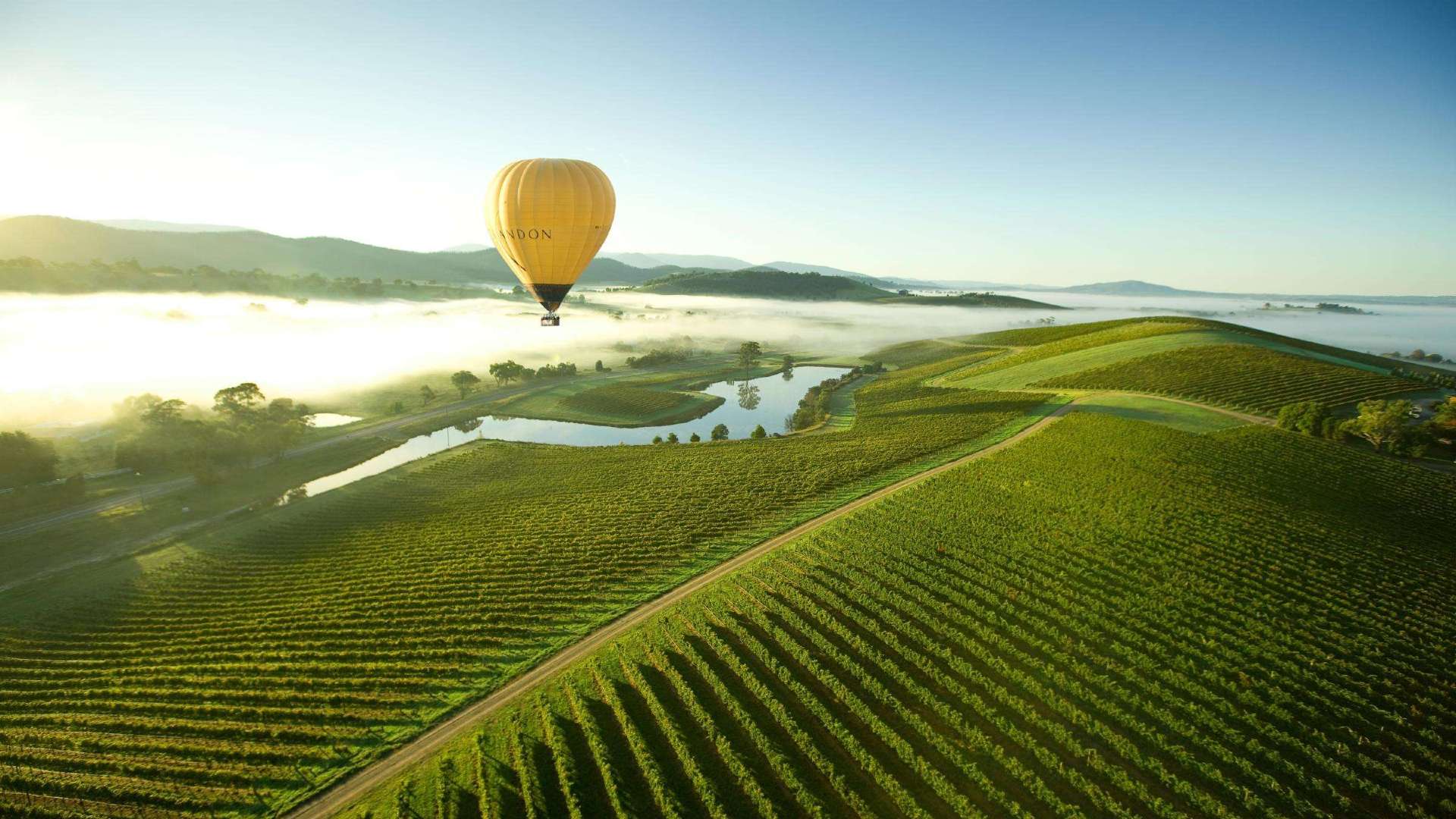 Yarra Valley & Dandenong Ranges
 Gippsland
 Mornington Peninsula
 Melbourne
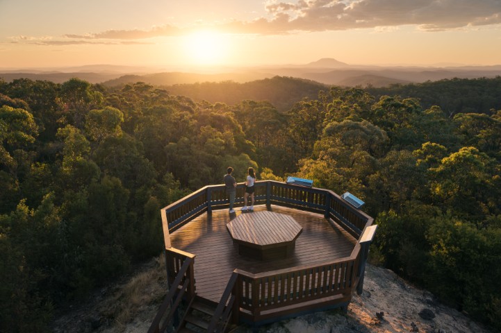
 High Country
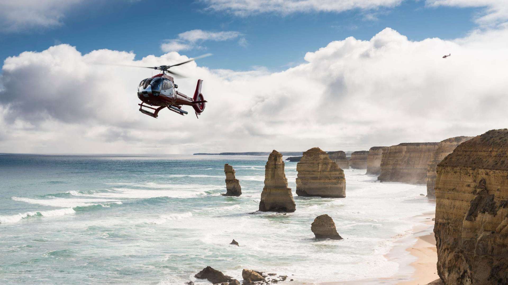 Great Ocean Road
 Sunshine Coast Region
 Mackay Region
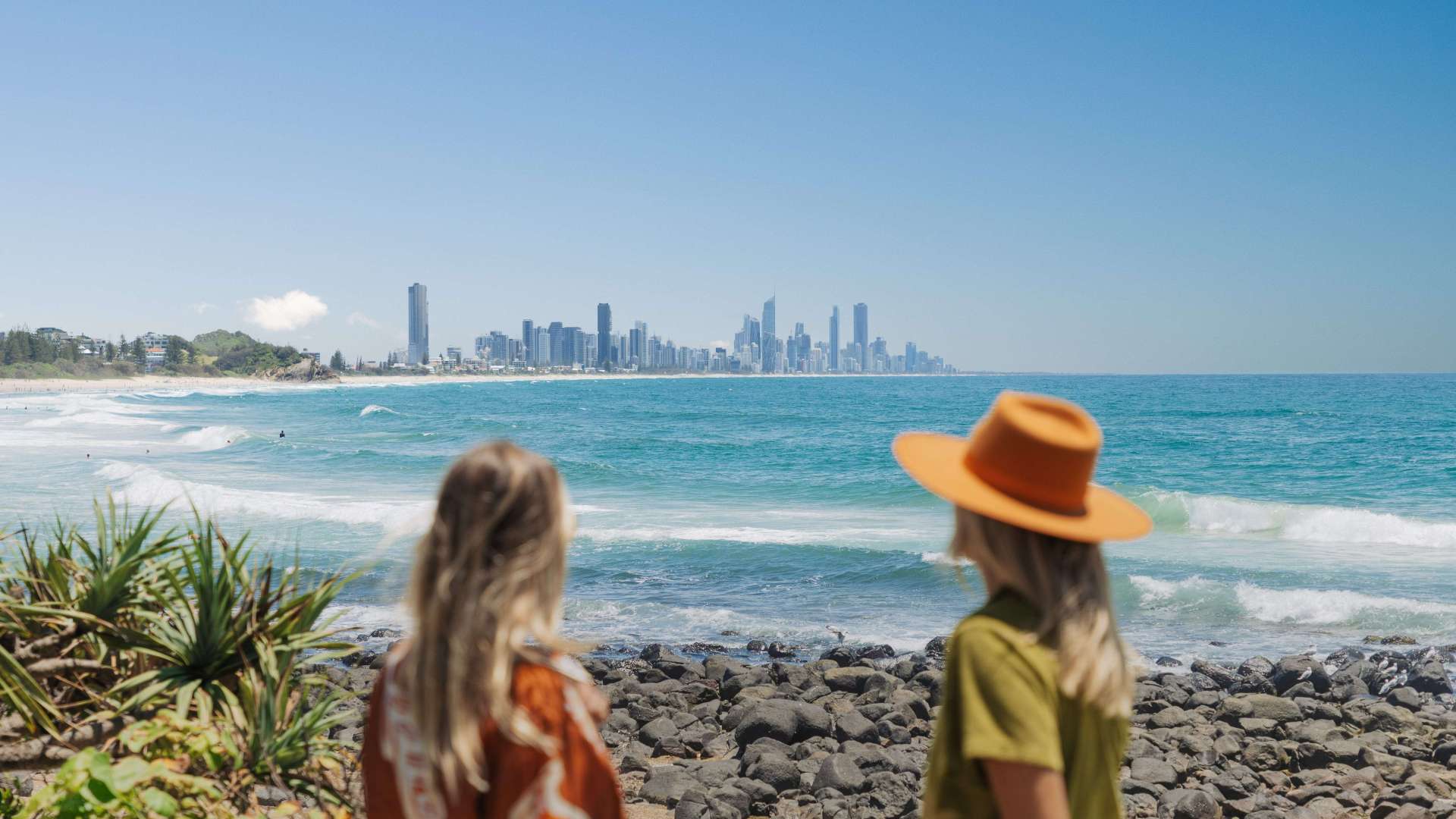 Gold Coast Region
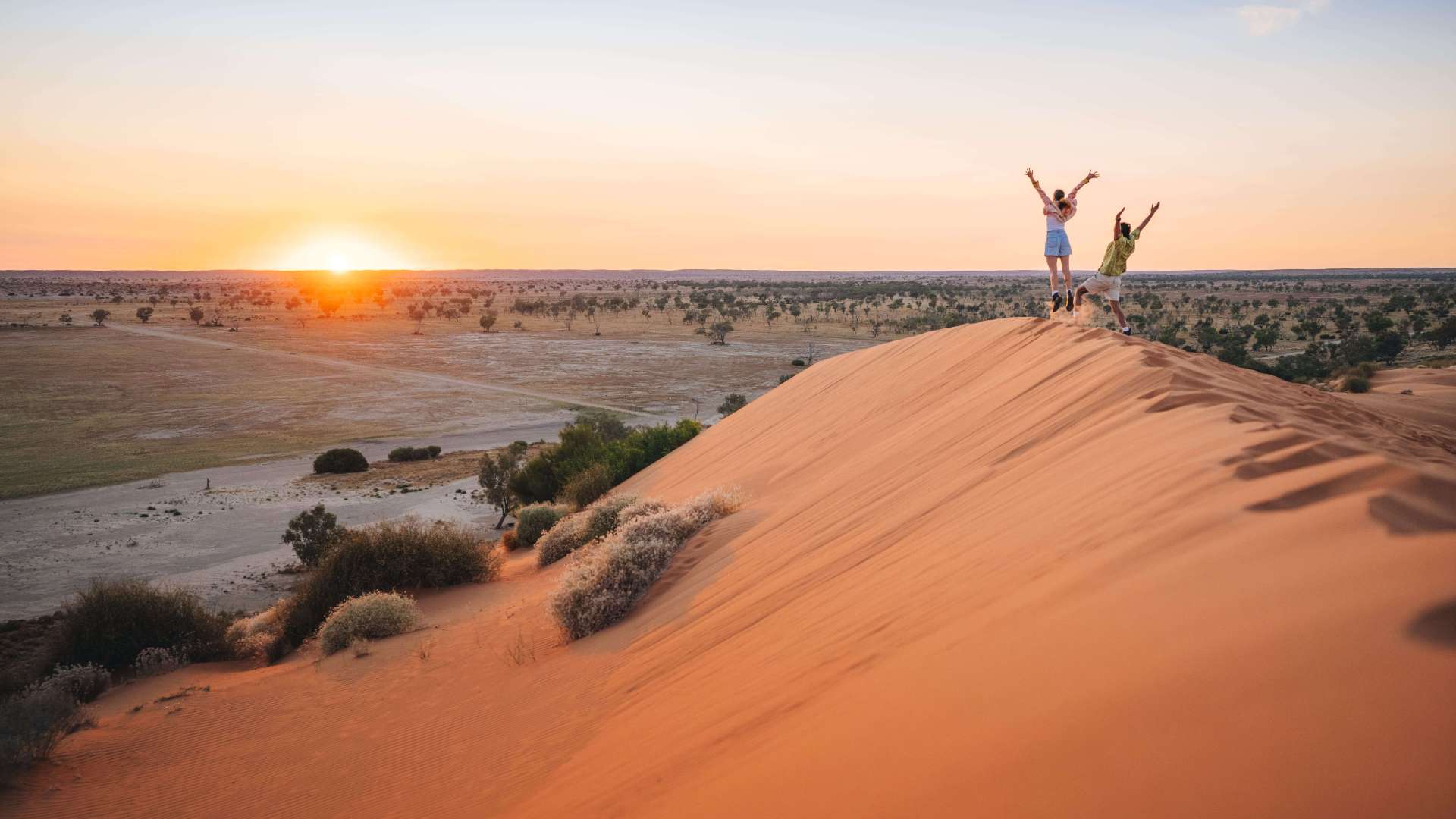 Far West
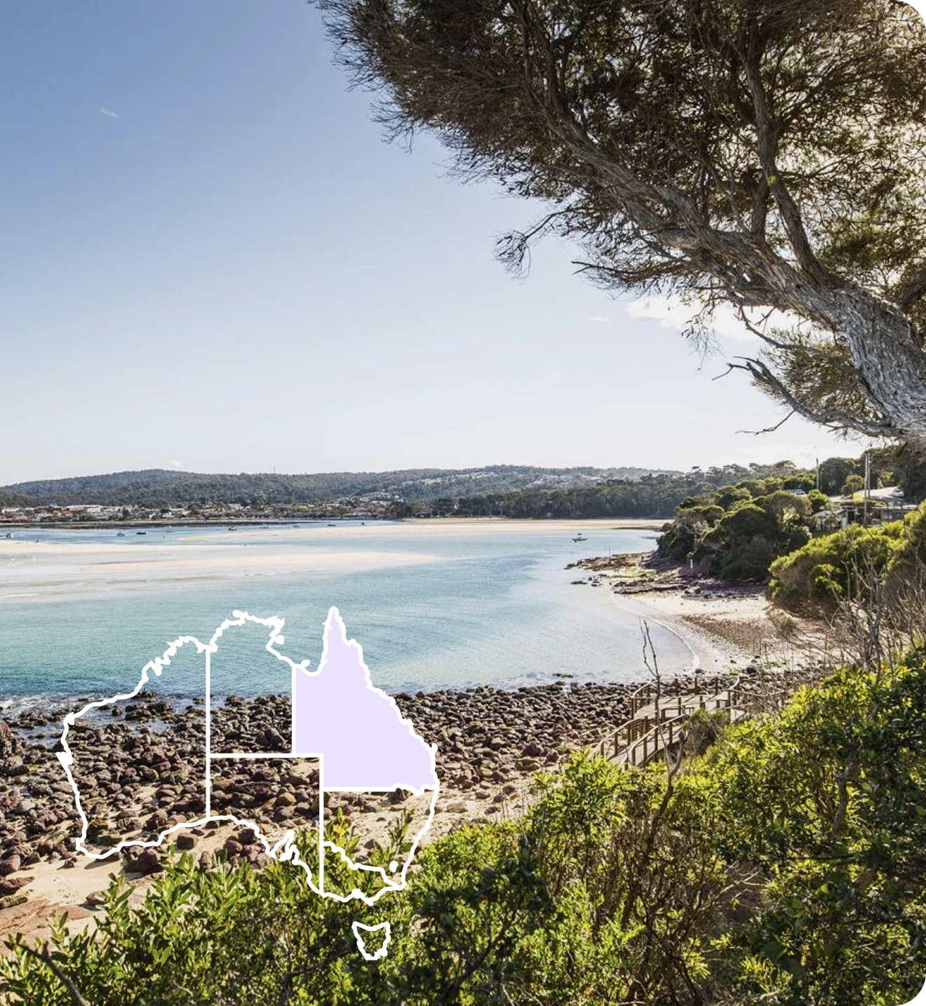
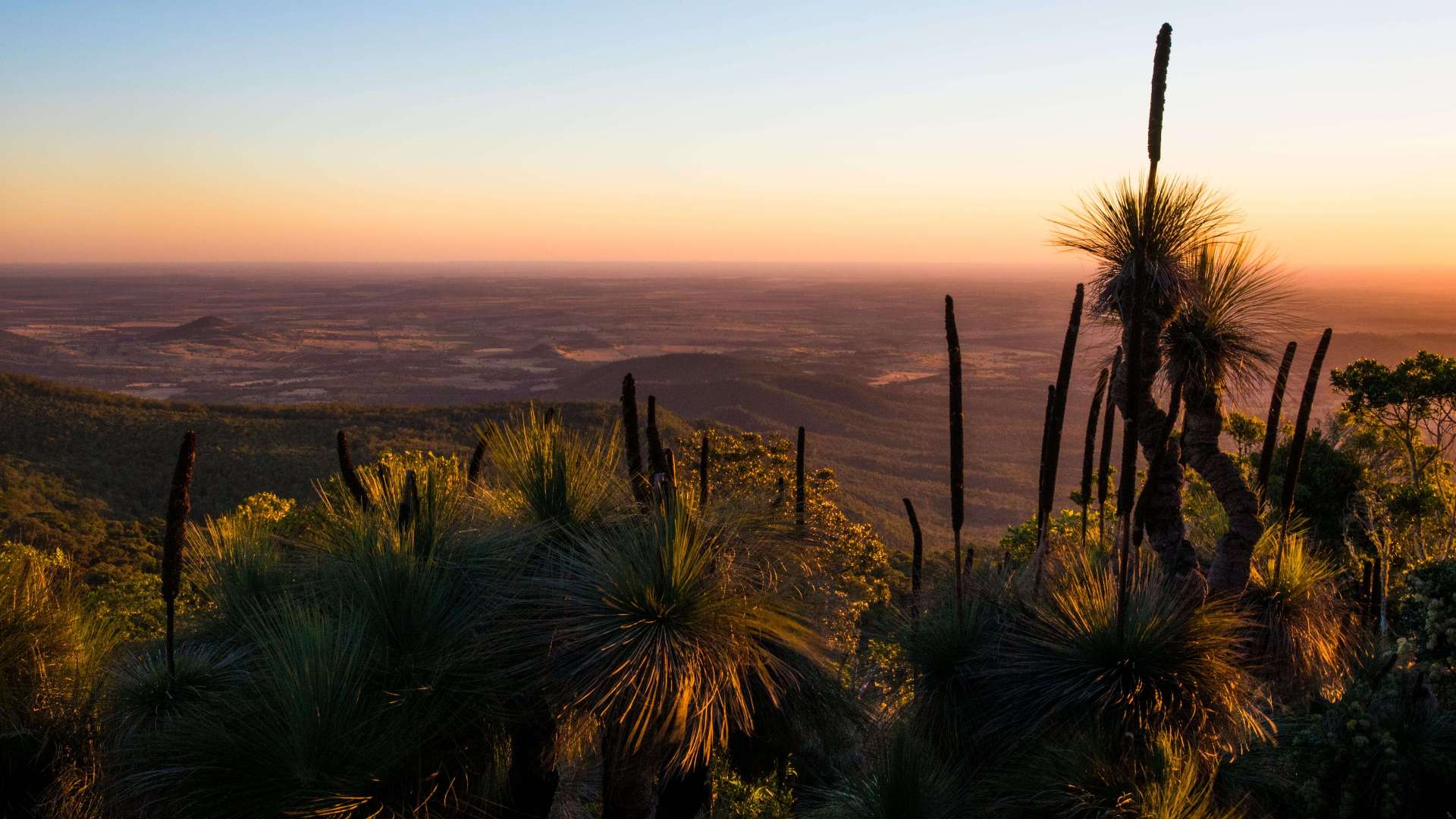 Western Downs Region
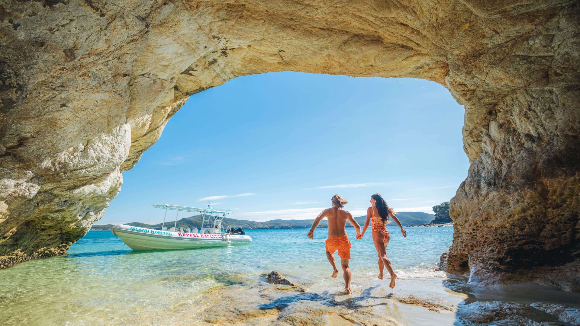 Capricorn Region
 Townsville Region
 Fraser Coast Region
 Gulf Savannah
 Gladstone Region
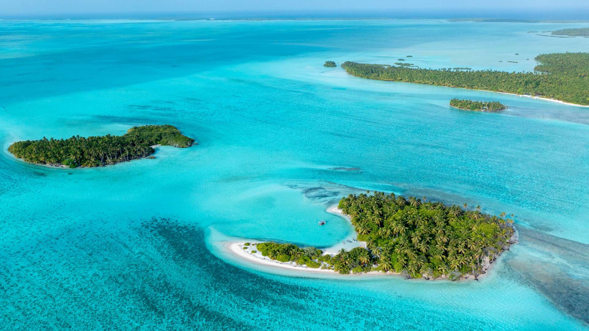 Cocos (Keeling) Islands
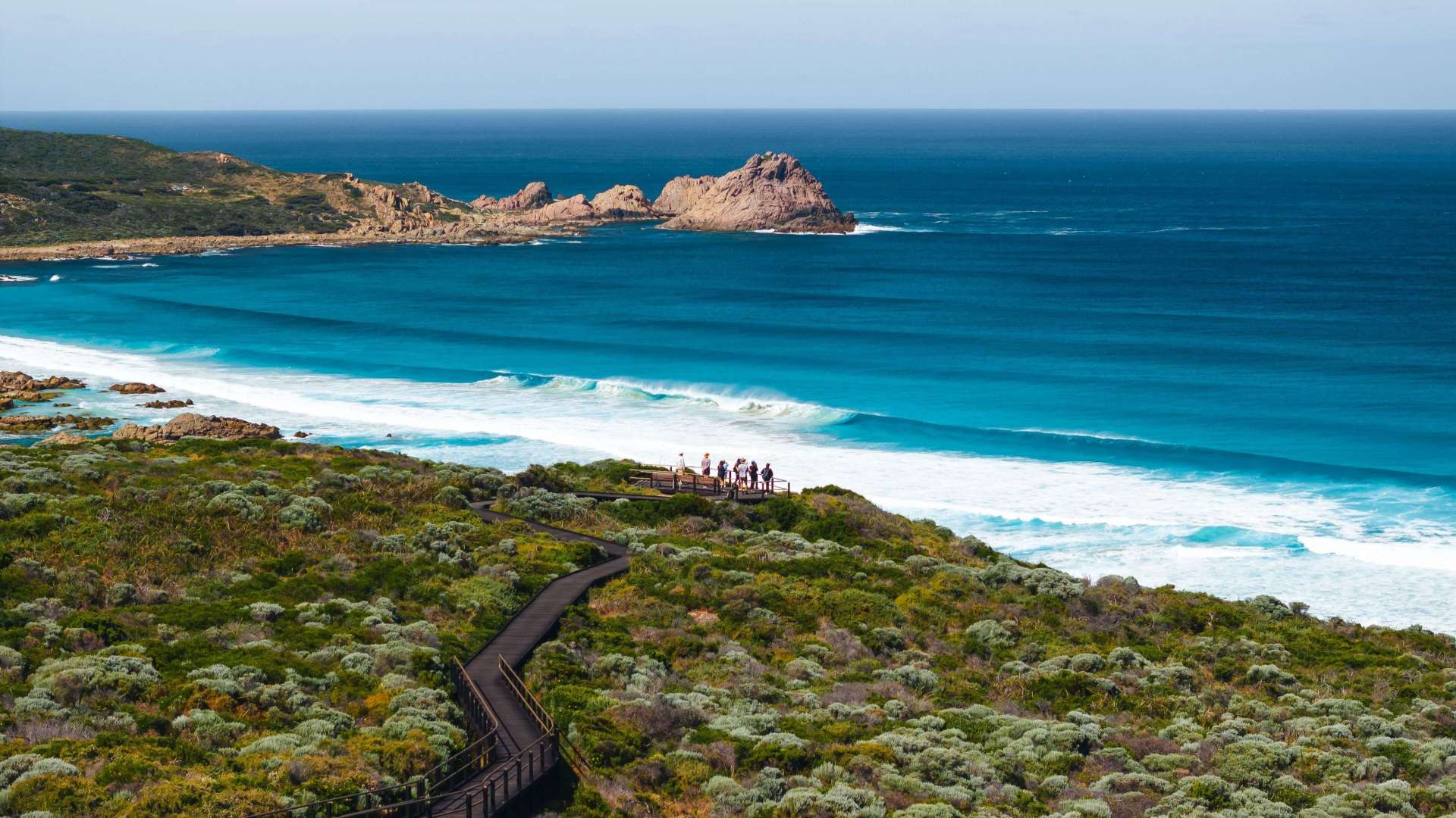 Australia's South West
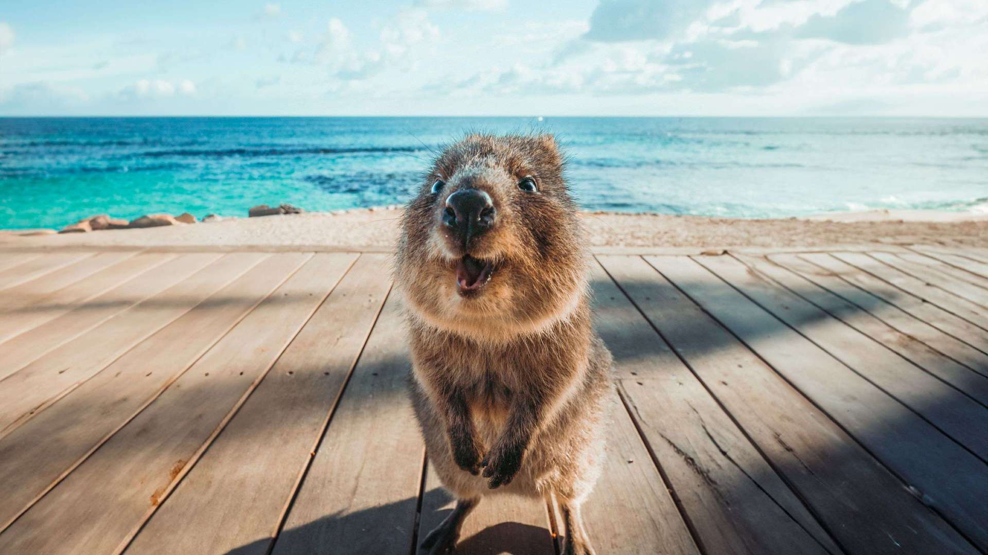 Destination Perth
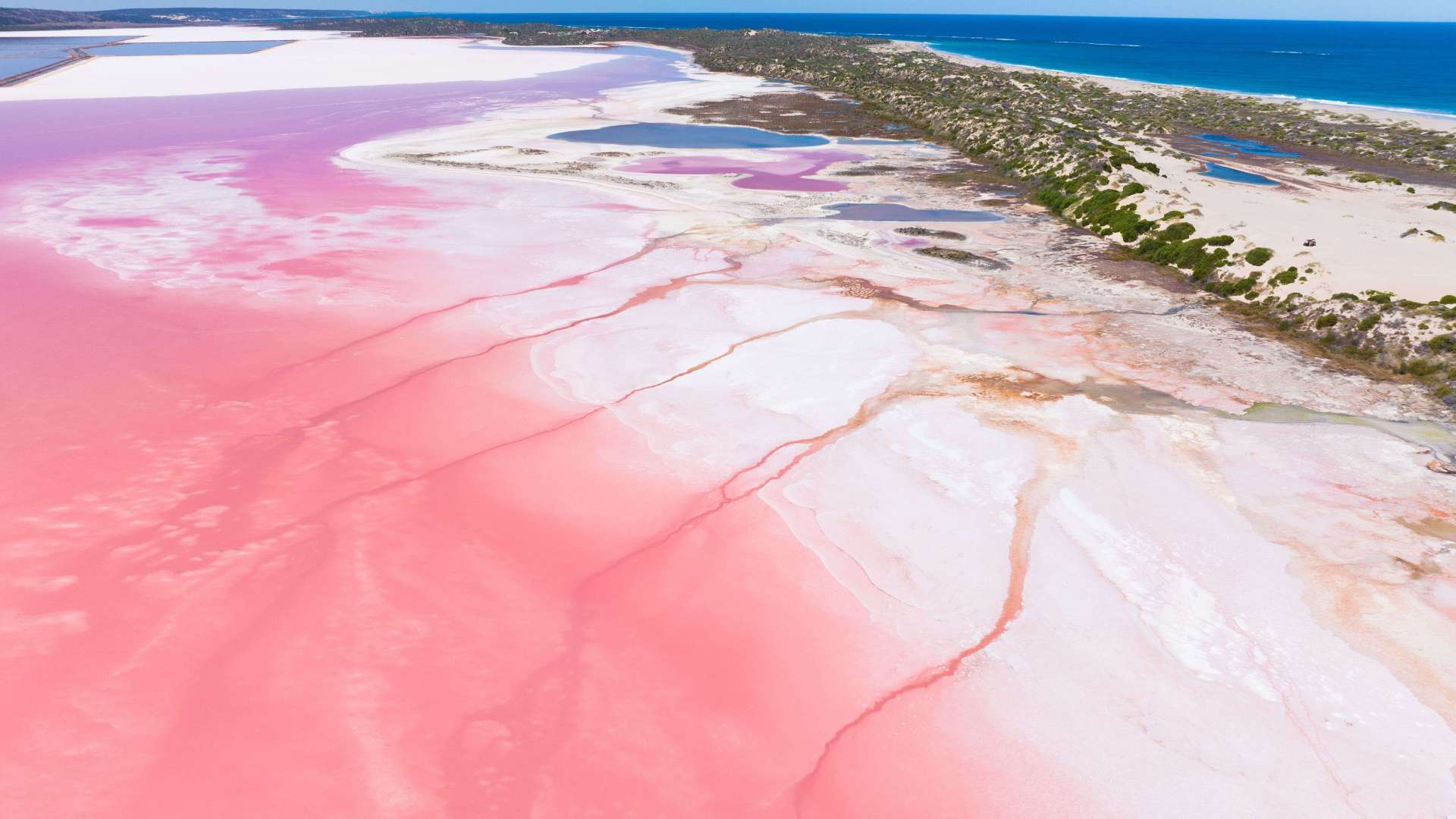 Australia's Coral Coast
 Australia's North West
 Australia's Golden Outback
 Christmas Island
 Limestone Coast
 Murray River, Lakes and Coorong
 Yorke Peninsula
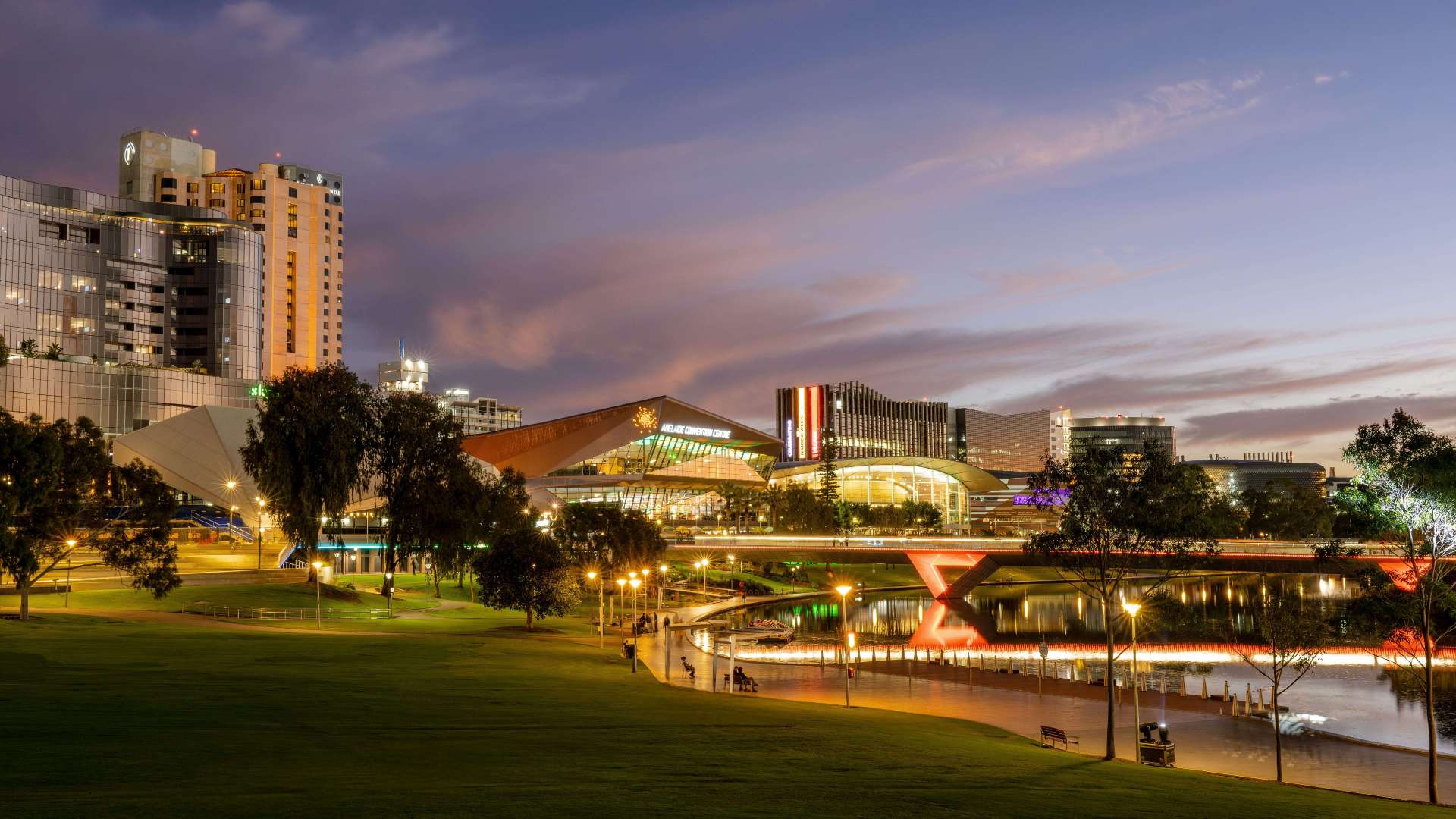 Adelaide
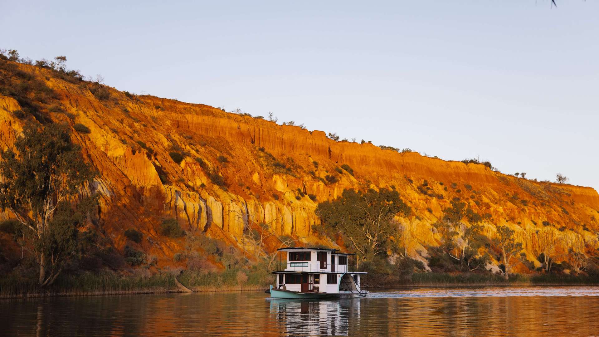 Riverland
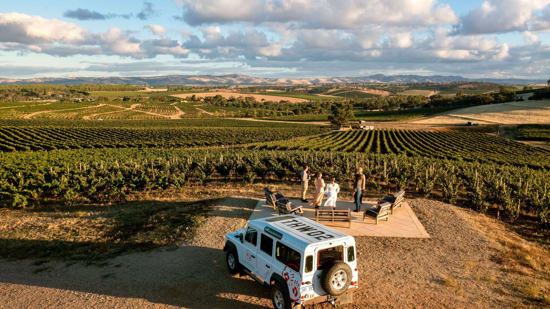 Barossa
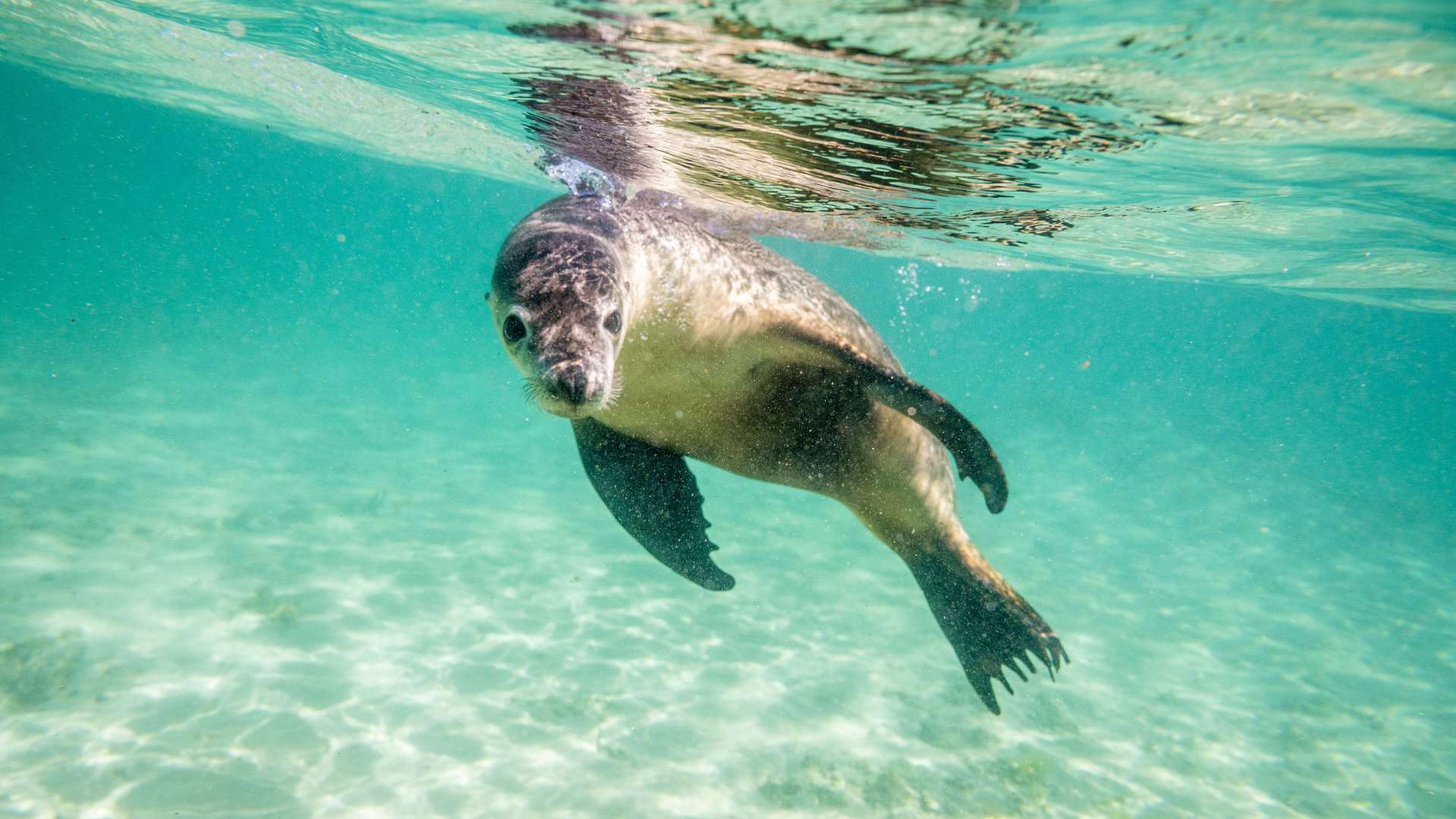
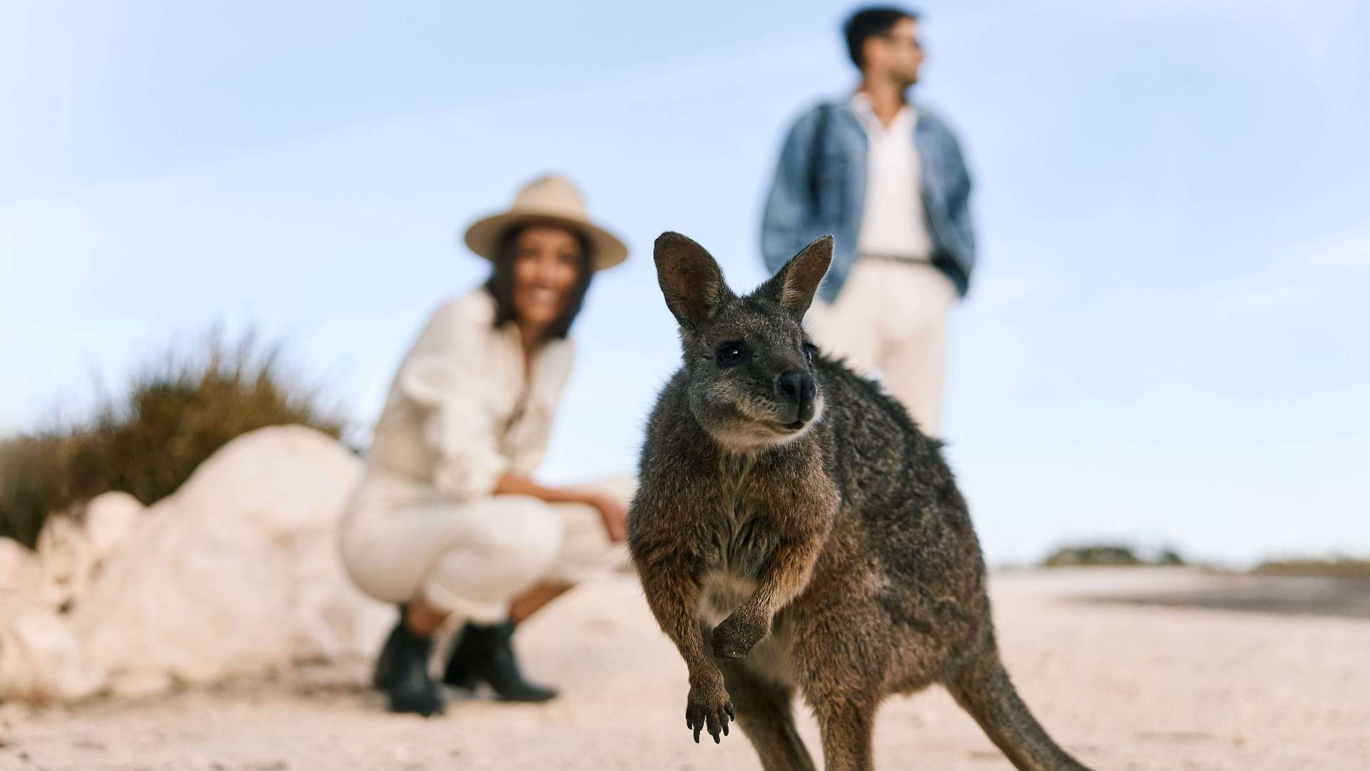 Kangaroo Island
 Adelaide Hills
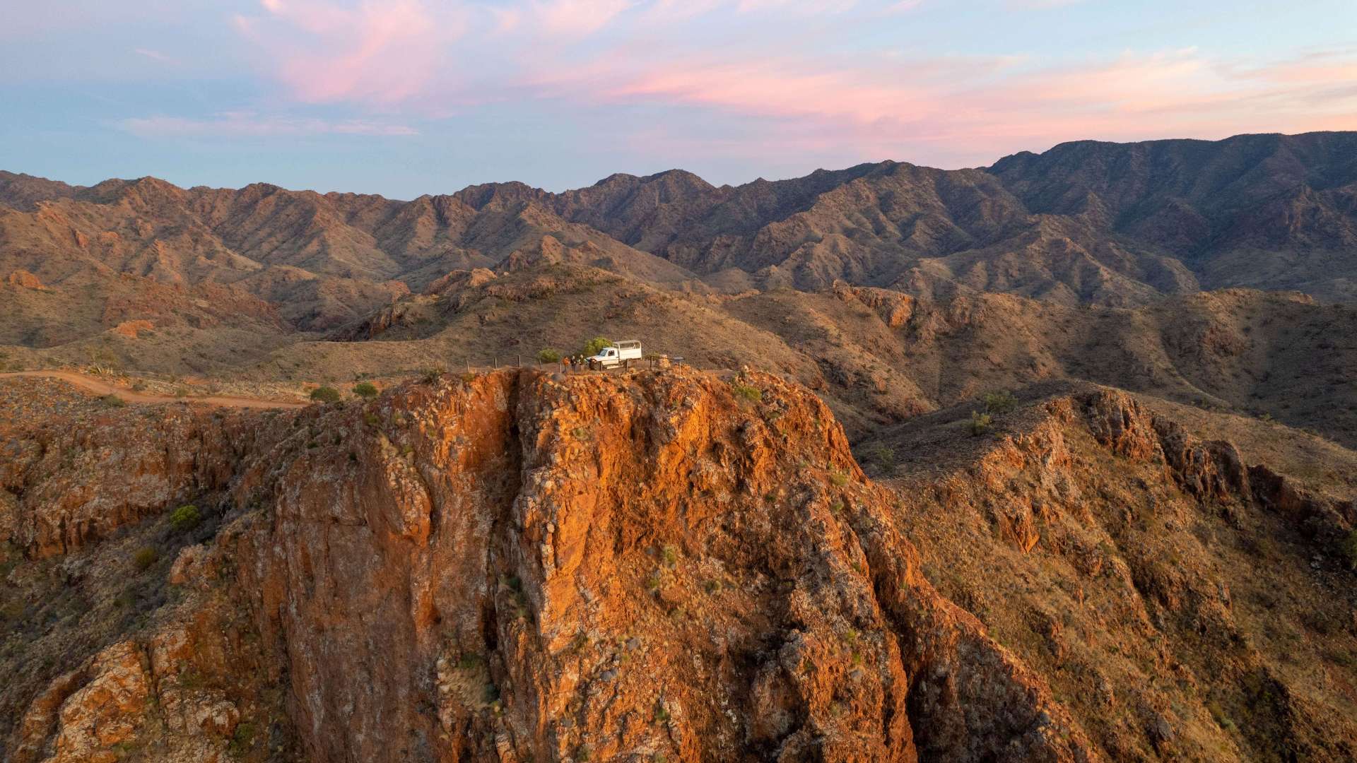 Flinders Ranges and Outback
 Eyre Peninsula
 LGA Latrobe
 Uluru/Kata Tjuta Region
 Kakadu
 Alice Springs & Surrounds
 Darwin & Surrounds
 Tennant Creek & Barkly Region
 Arnhem Land
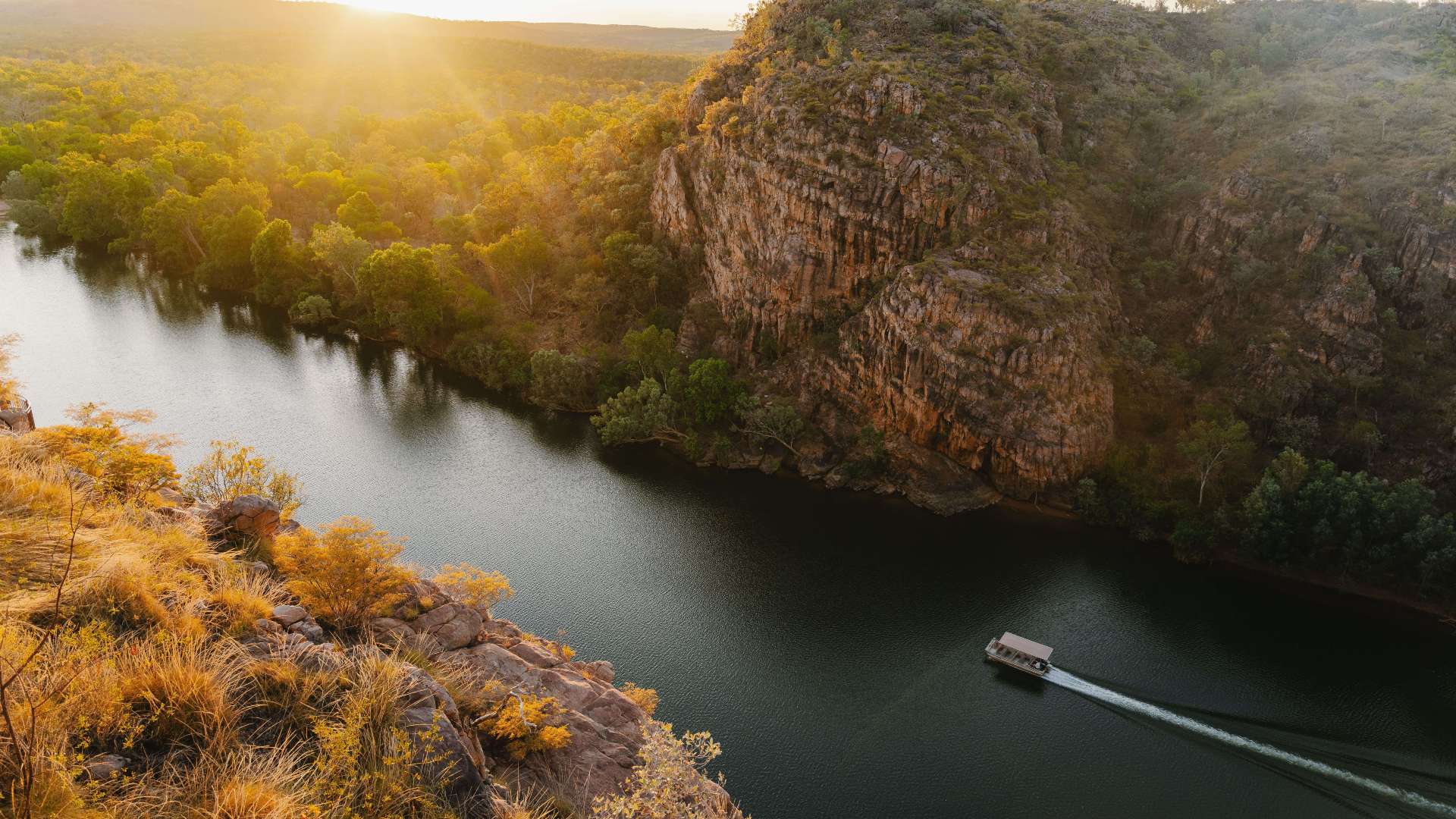 Katherine & Surrounds
 Canberra Region

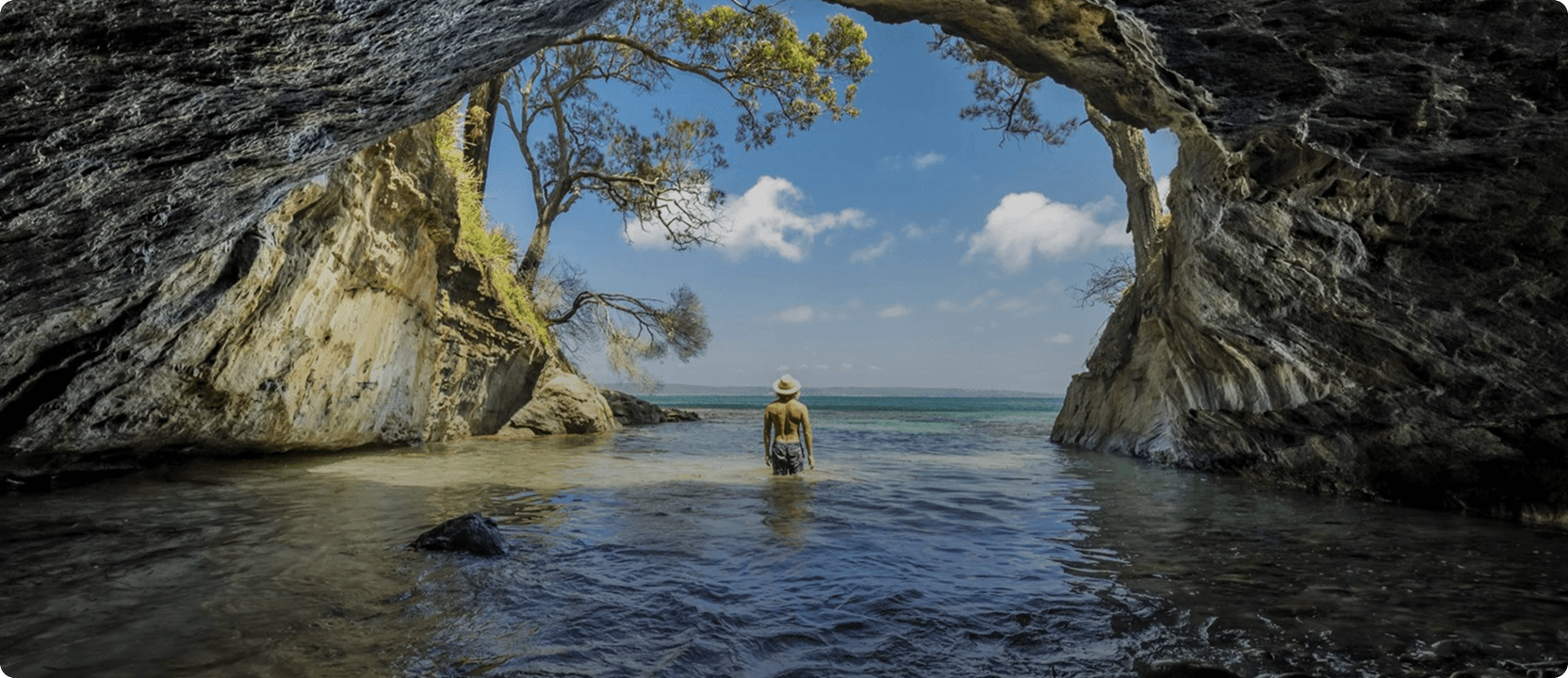
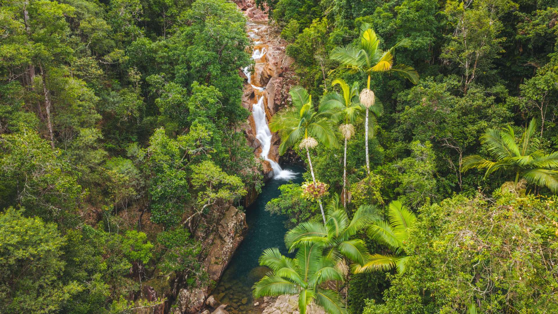
Alligator Falls Track, Bowling Green Bay National Park
 Make a Booking


Alligator Falls Track, Bowling Green Bay National Park
Alligator Creek Road, Townsville, Queensland, Australia, 4816
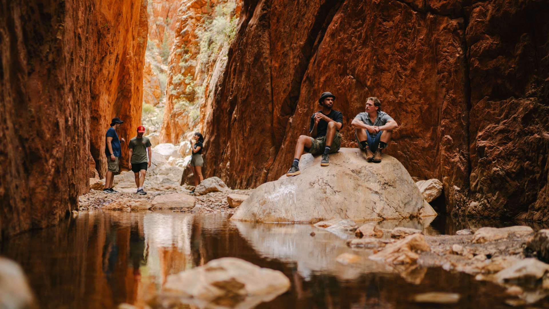
In the Mount Elliot section of Bowling Green Bay National Park, Alligator Creek flows through the landscape in a series of cascades, deep pools and waterfalls. The Alligator Falls track starts from the southern end of the Alligator Creek day-use area.
Follow the Alligator Falls trail through the different environments of Mount Elliot. Venture through eucalypt woodlands, wade across creek crossings (there is three of them!), ascend a series of steps then scramble over boulders in the rainforest to arrive beside the creek at the base of the cascading falls. There is no access to or above the falls. Do not climb the cliff face, or dive or jump into the water. Serious injuries have occurred.
Savour the creek crossings on the way to falls! With overhanging bottlebrush trees, damselflies skimming the water and butterflies fluttering above the surface, the creek crossings are a perfect place to rest and catch your breath.
Carry water and wear sturdy footwear. Make sure to begin this hike with enough time to return the same way before dark—unless to plan to stay the night at Alligator Falls camping area. Remember, a pre-booked camping permit is required.
This rugged, difficult trail should only be undertaken by prepared, fit and experienced hikers and should never be attempted during or after heavy rain or if heavy rain is forecast. On this track, visitors must cross the creek on three occasions. These crossings vary in depth from ankle-deep to approximately waist-deep depending on the conditions. Rain in the upper catchment can cause rapid rises in water (flash flooding), making creek crossings dangerous. Hikers can also become stranded between crossings.
Highlights


Address
Alligator Creek Road, Townsville, Queensland, Australia, 4816
Phone
137468
Make a Booking
You might also like...
 High Country, Victoria
1 / 5


Starting Planning your next thing With Us
Your next big adventure awaits, and Things to Do is here to help make that run smoothly! Join today and take advantage of our easy to use features.
Join Now