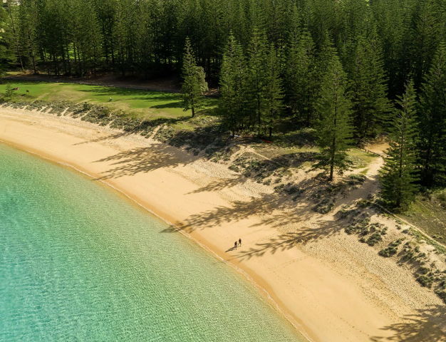
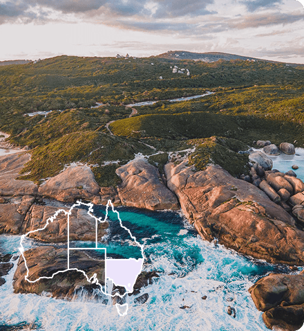
 Norfolk Island
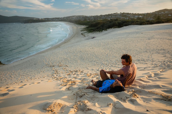
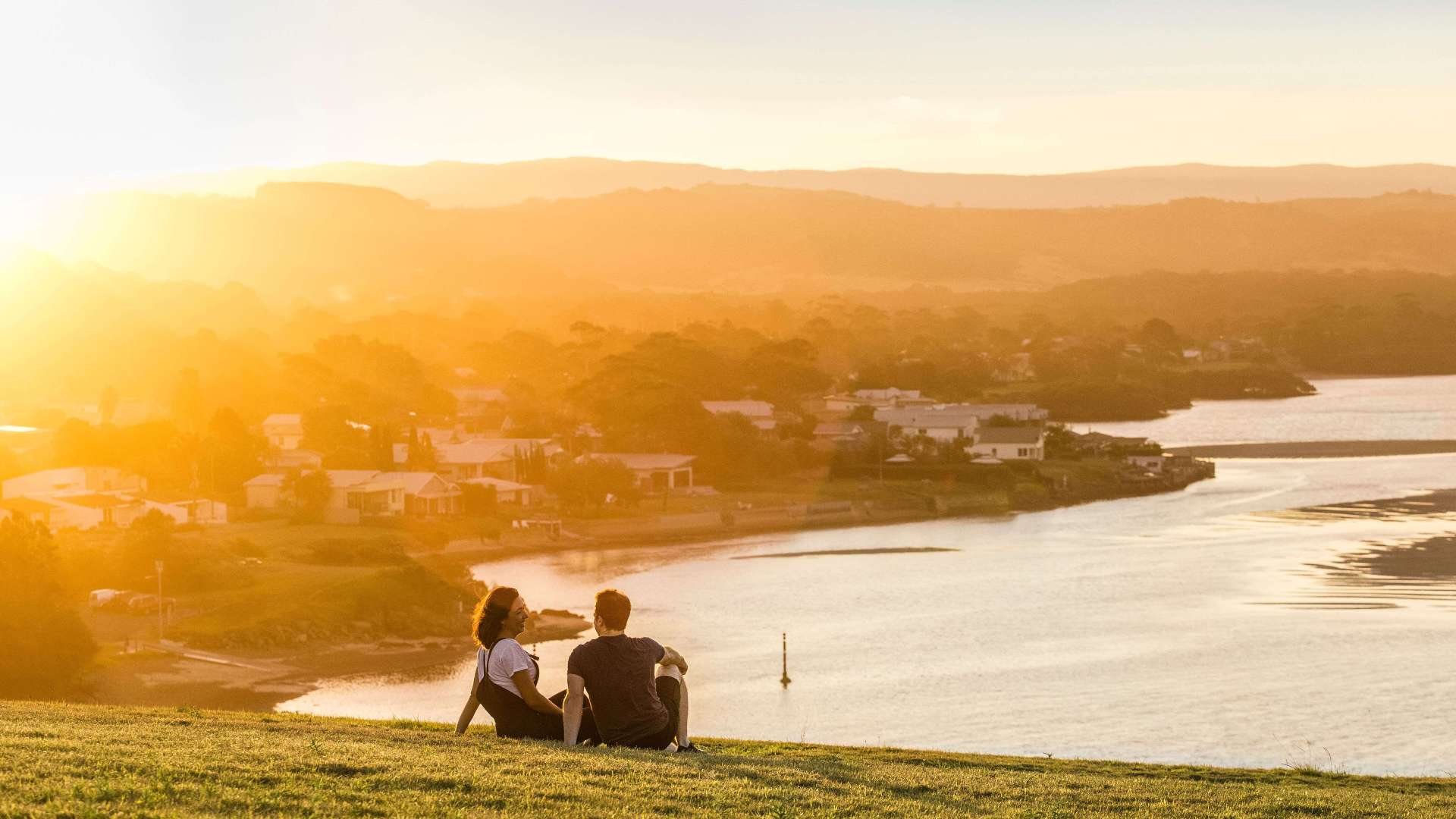 South Coast
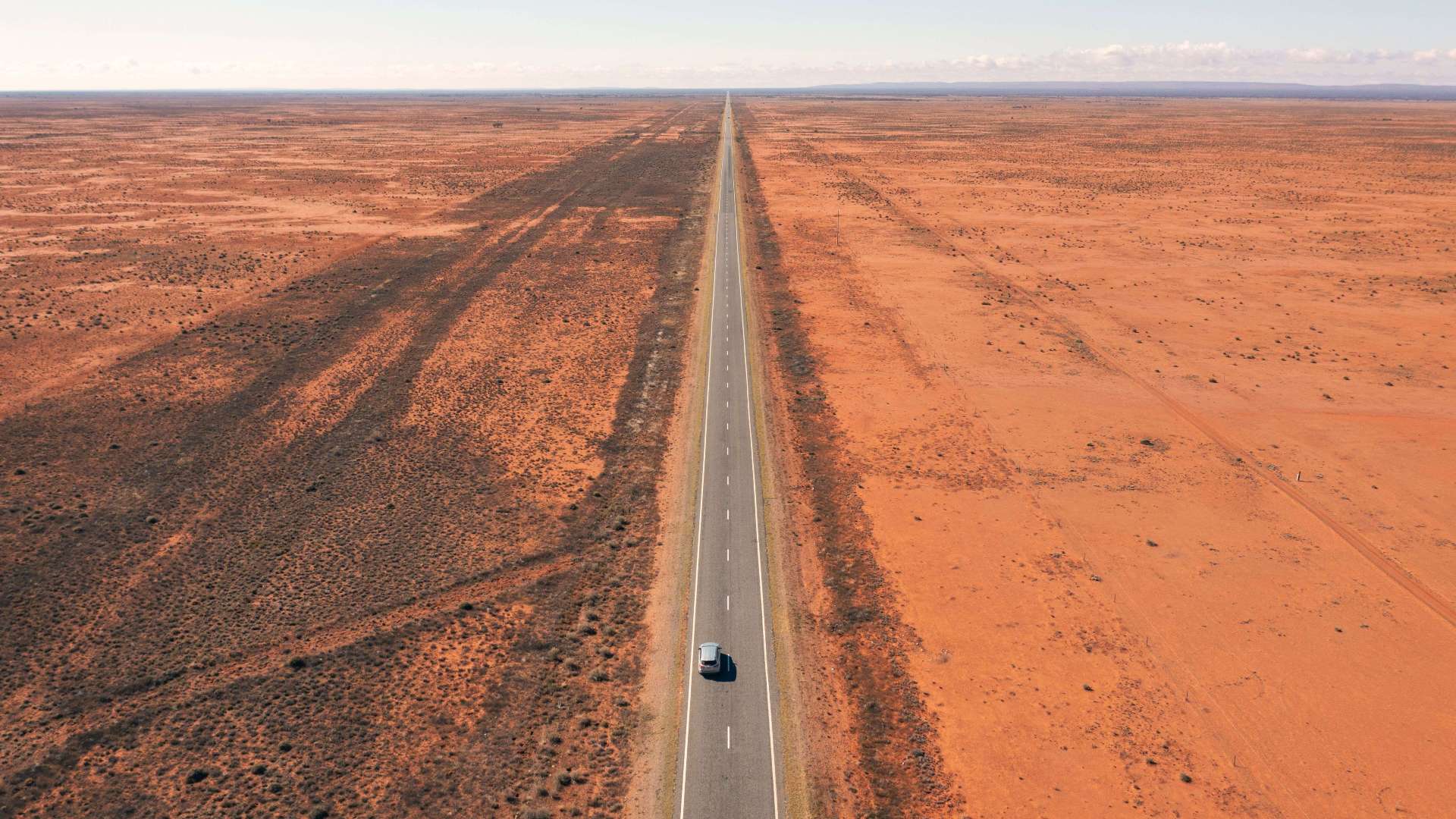 Outback NSW
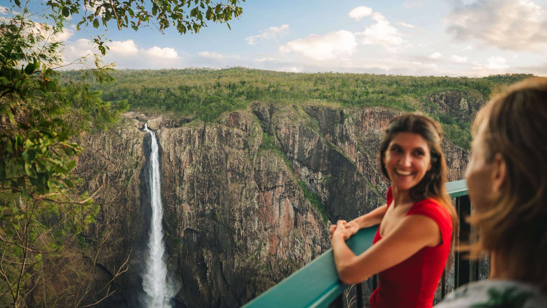
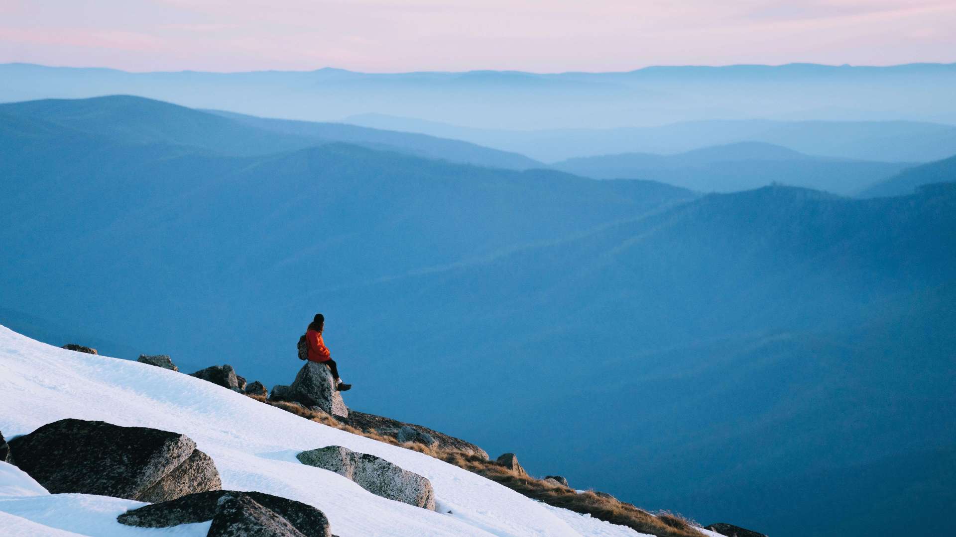 Snowy Mountains
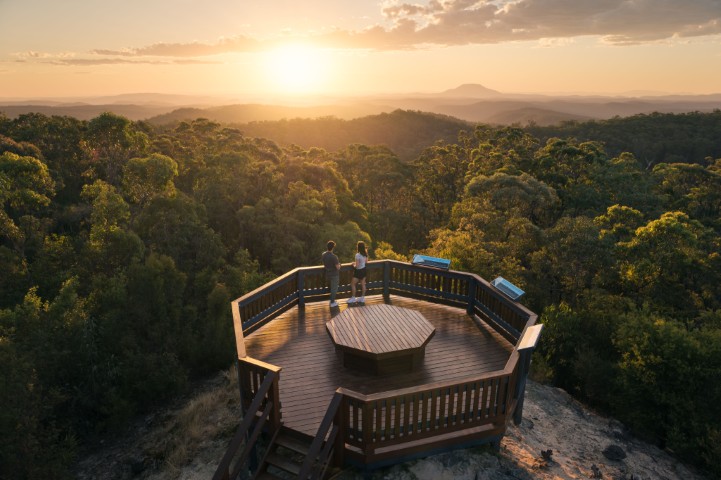
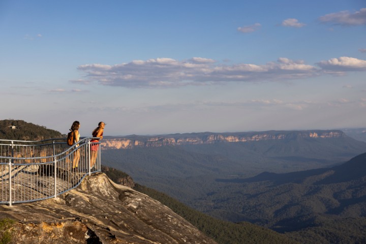 Blue Mountains
 North Coast
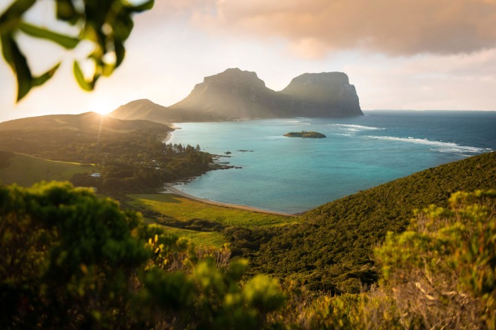 Lord Howe Island
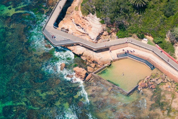 Central Coast
 Greater Sydney
 Country NSW

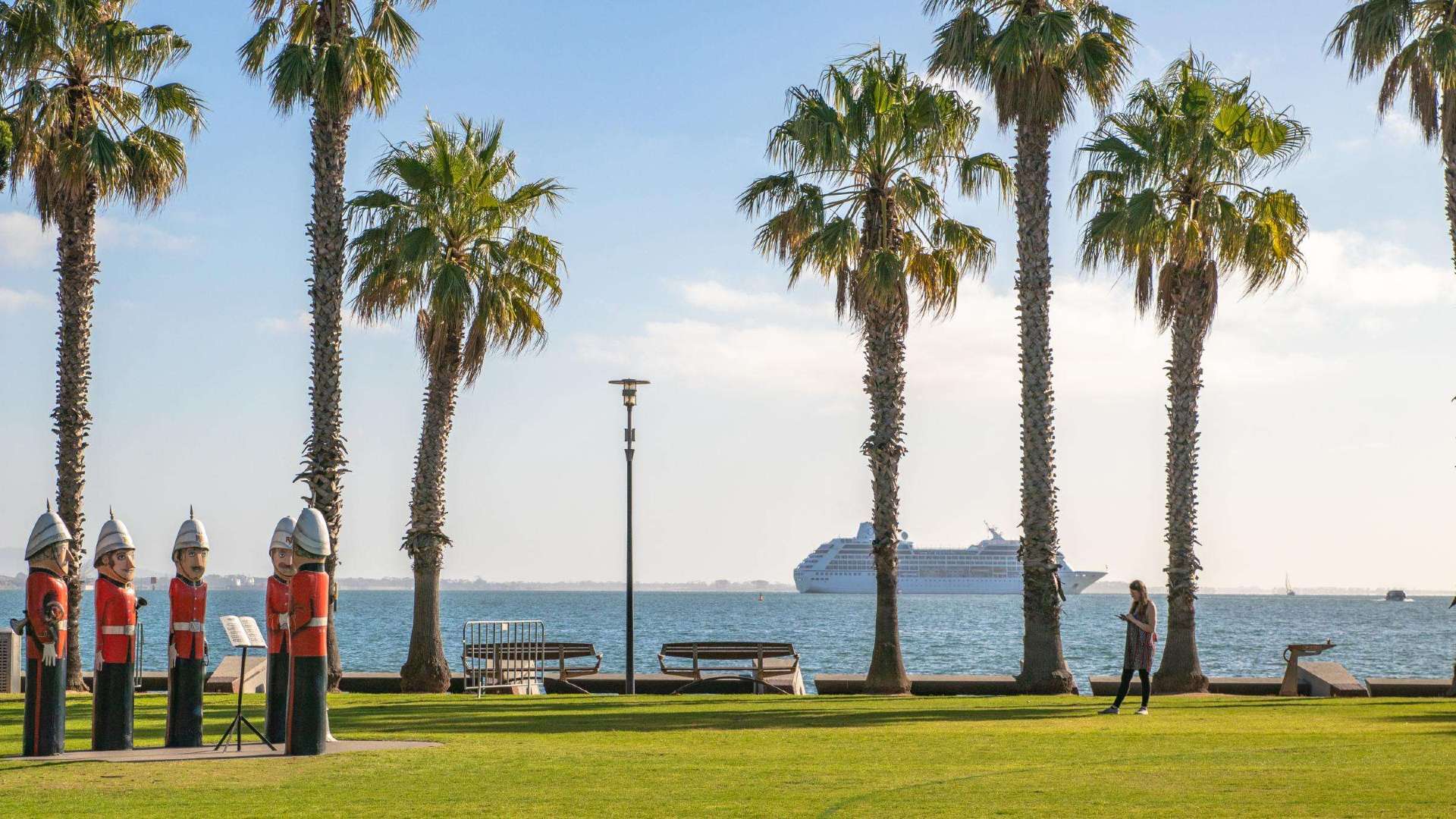 Geelong & the Bellarine
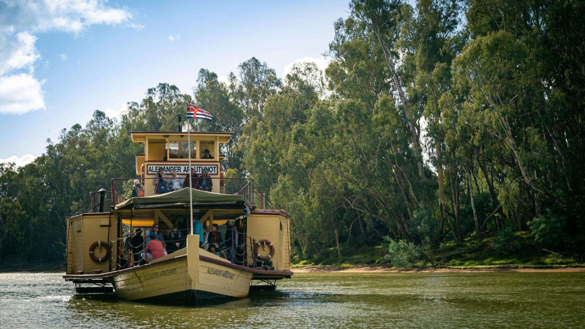 The Murray
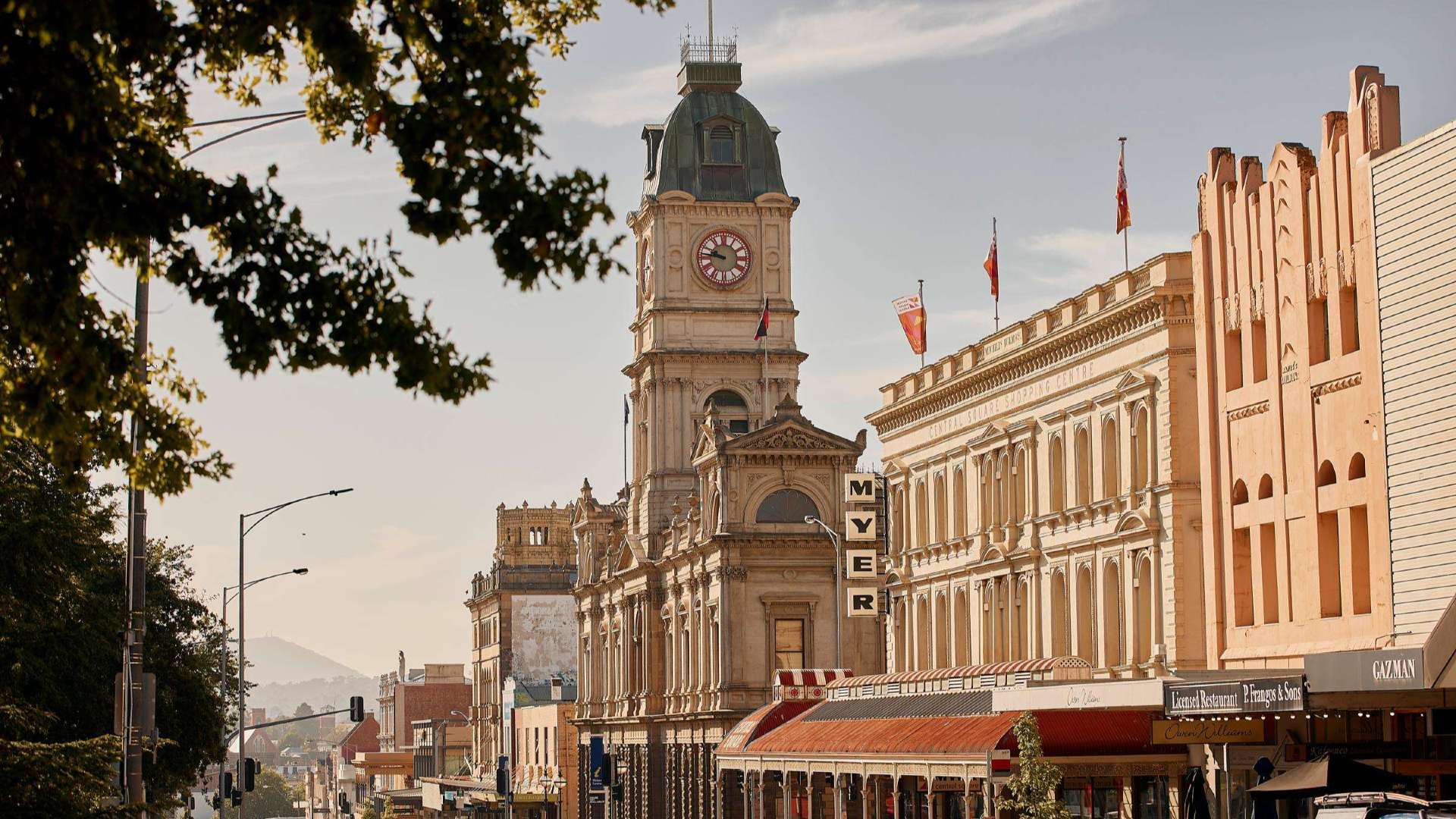 Goldfields
 Daylesford & the Macedon Ranges
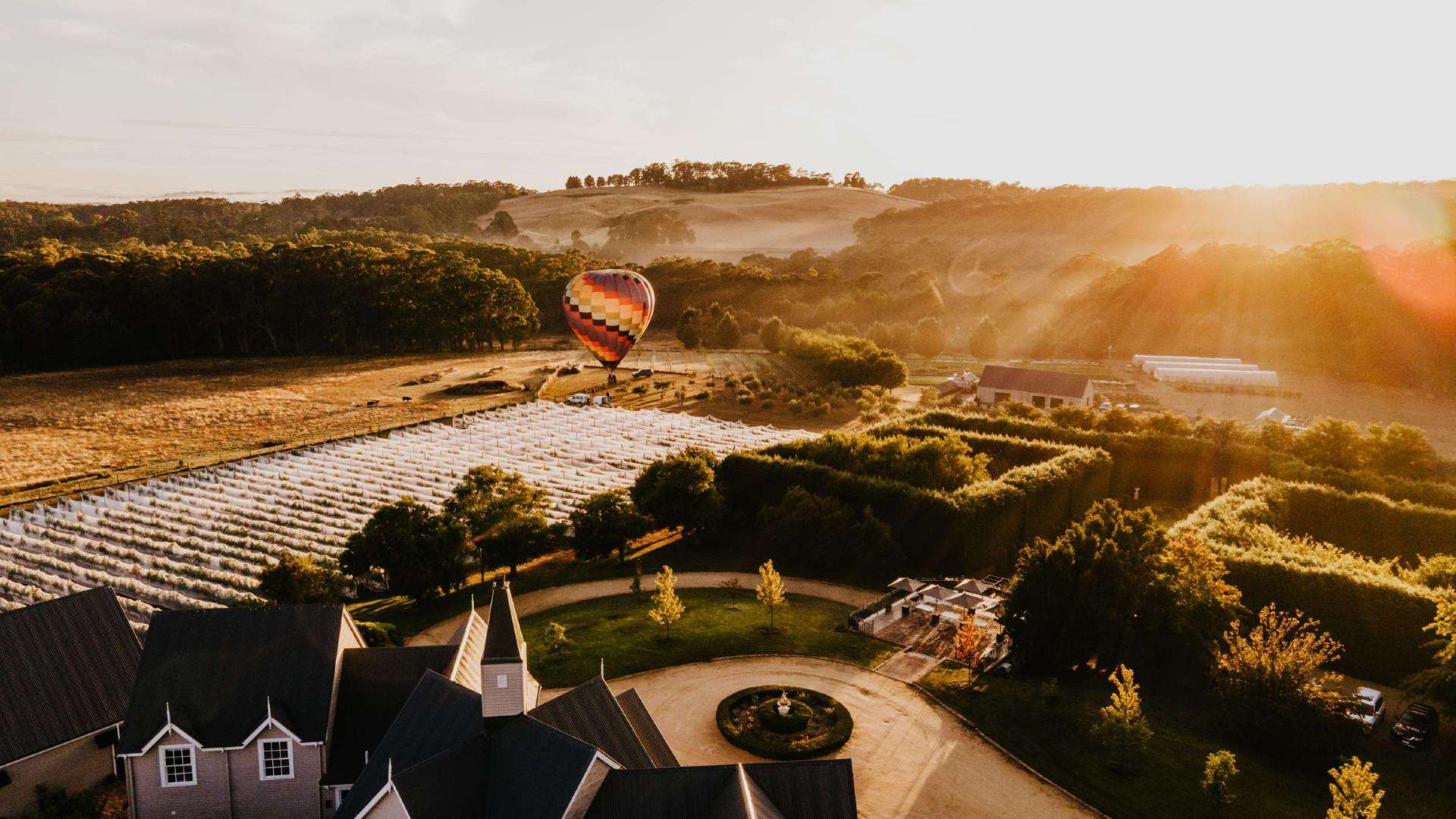
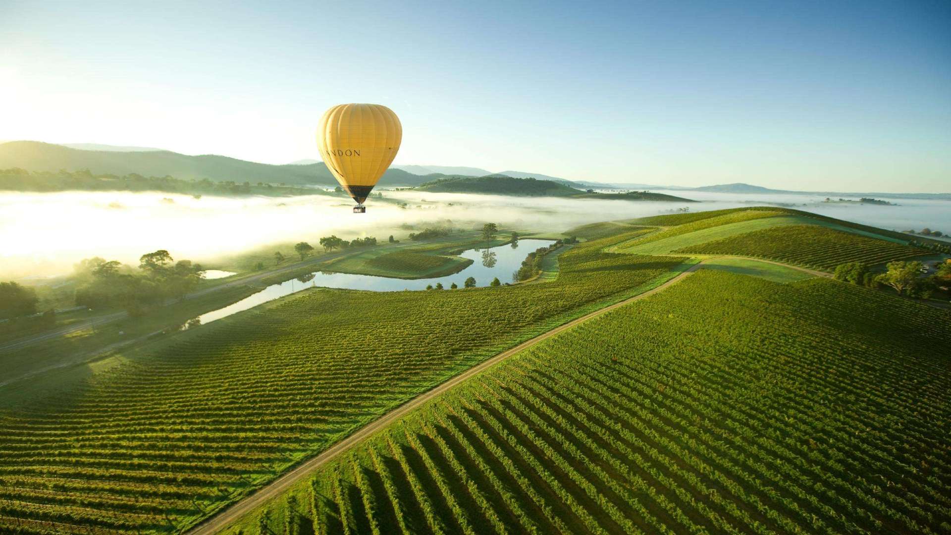 Yarra Valley & Dandenong Ranges
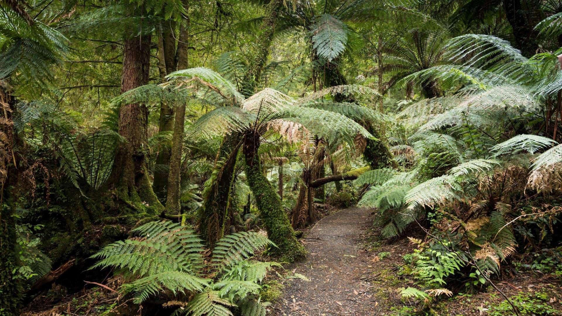 Gippsland
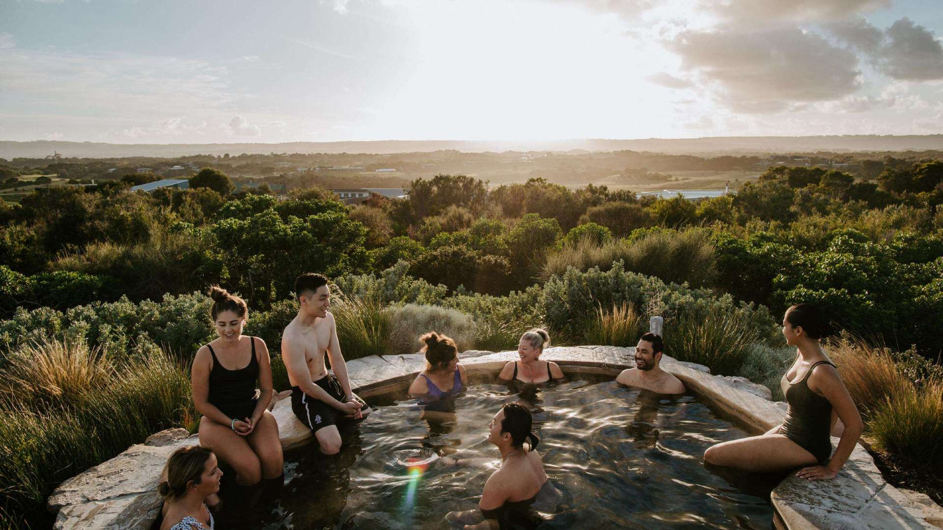 Mornington Peninsula
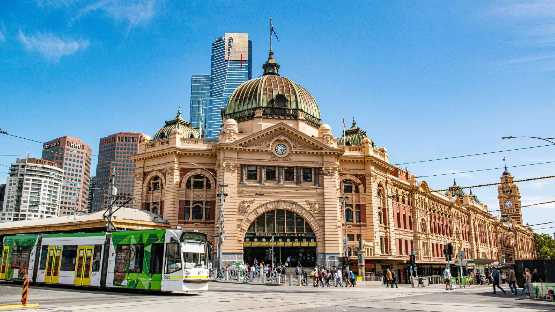 Melbourne
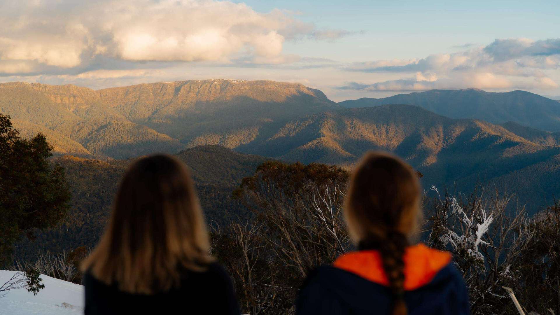 High Country
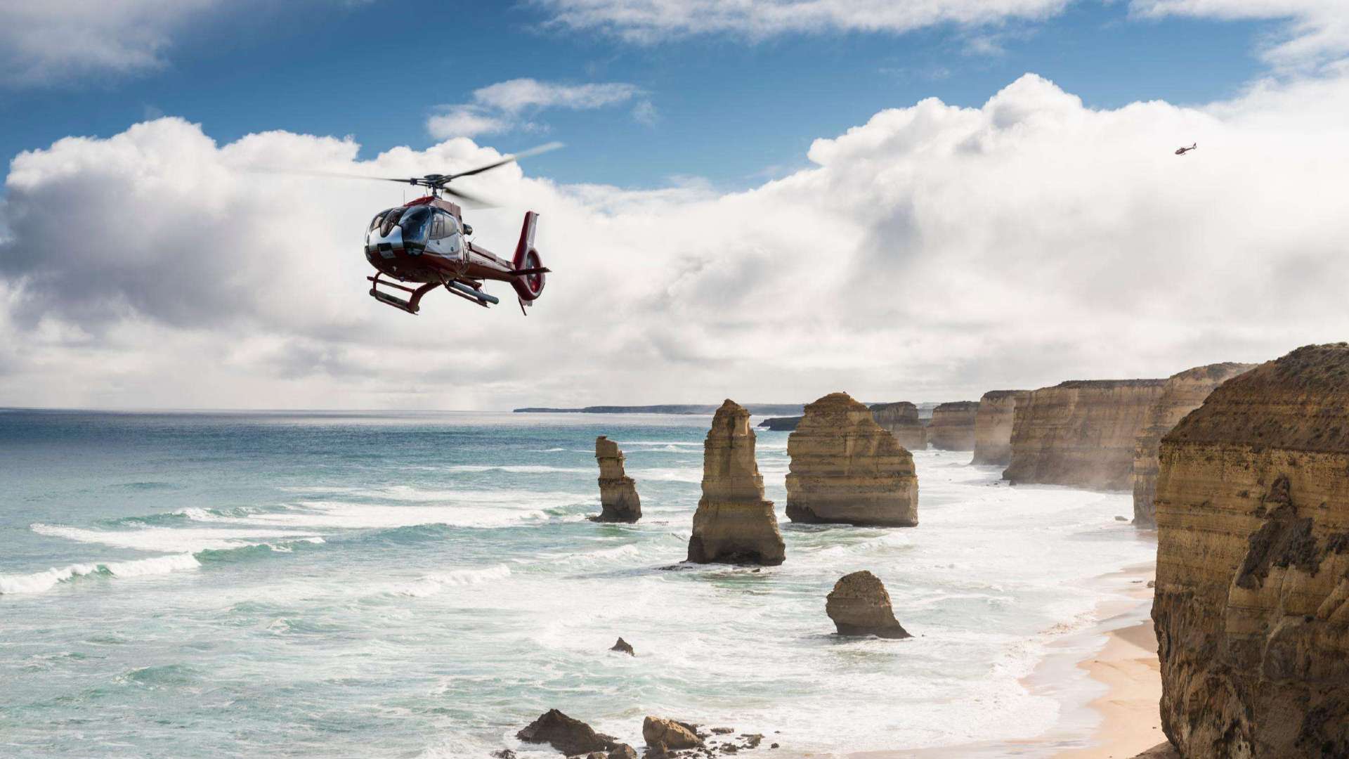 Great Ocean Road
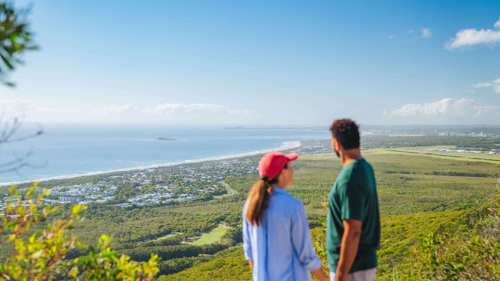 Sunshine Coast Region
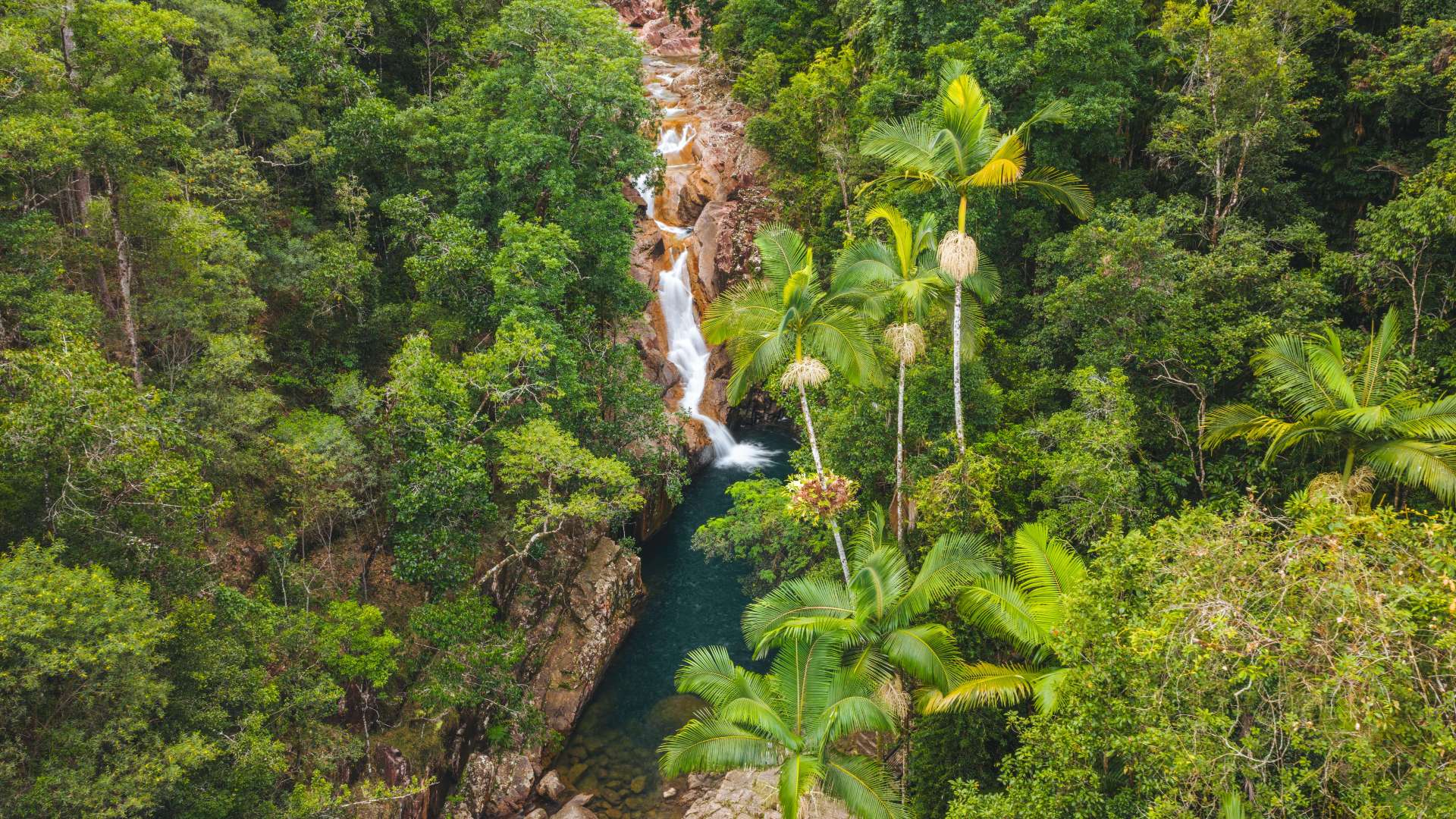 Mackay Region
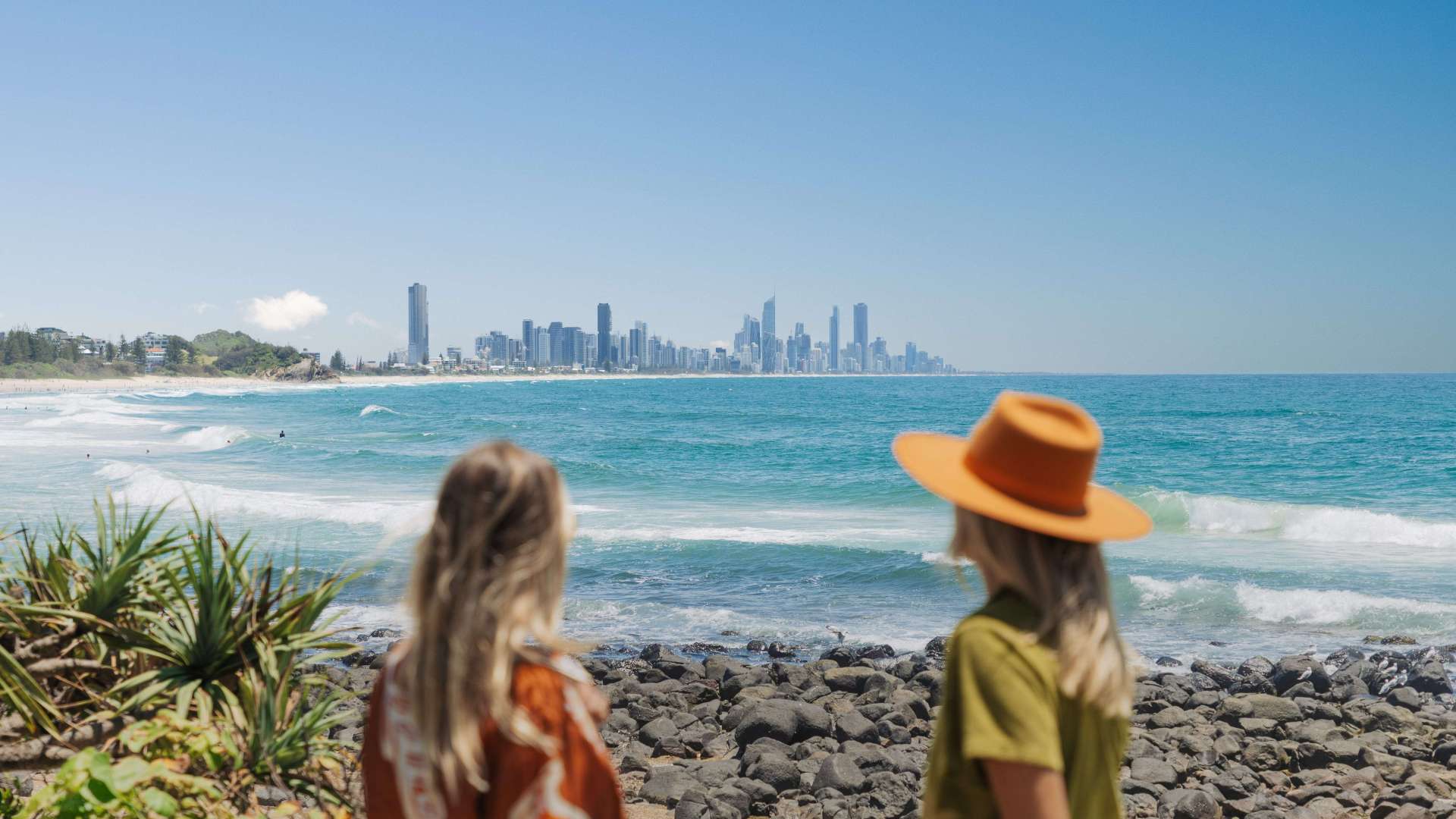 Gold Coast Region
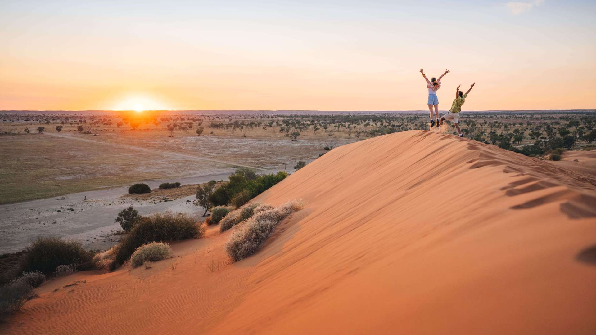 Far West
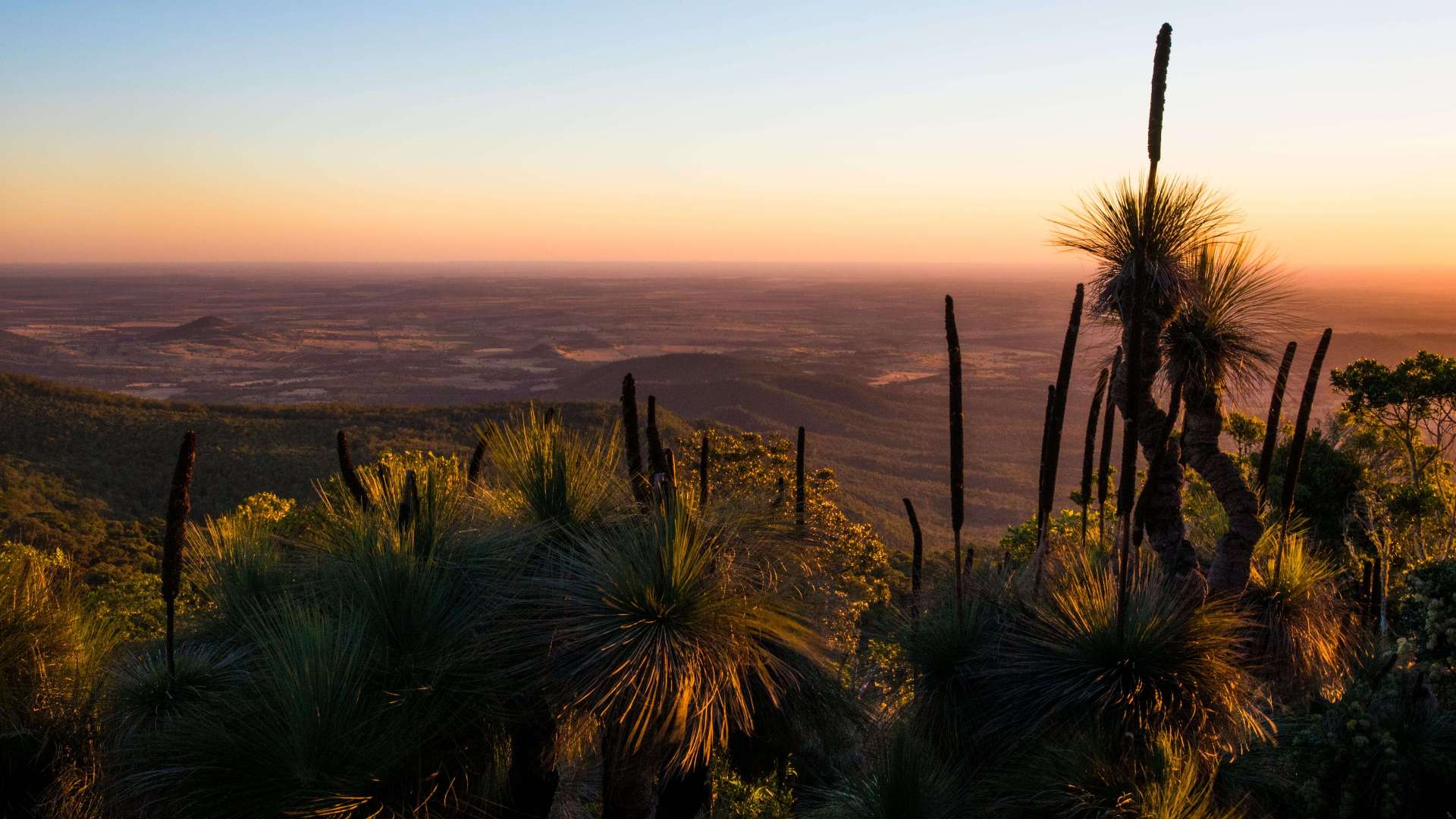 Western Downs Region
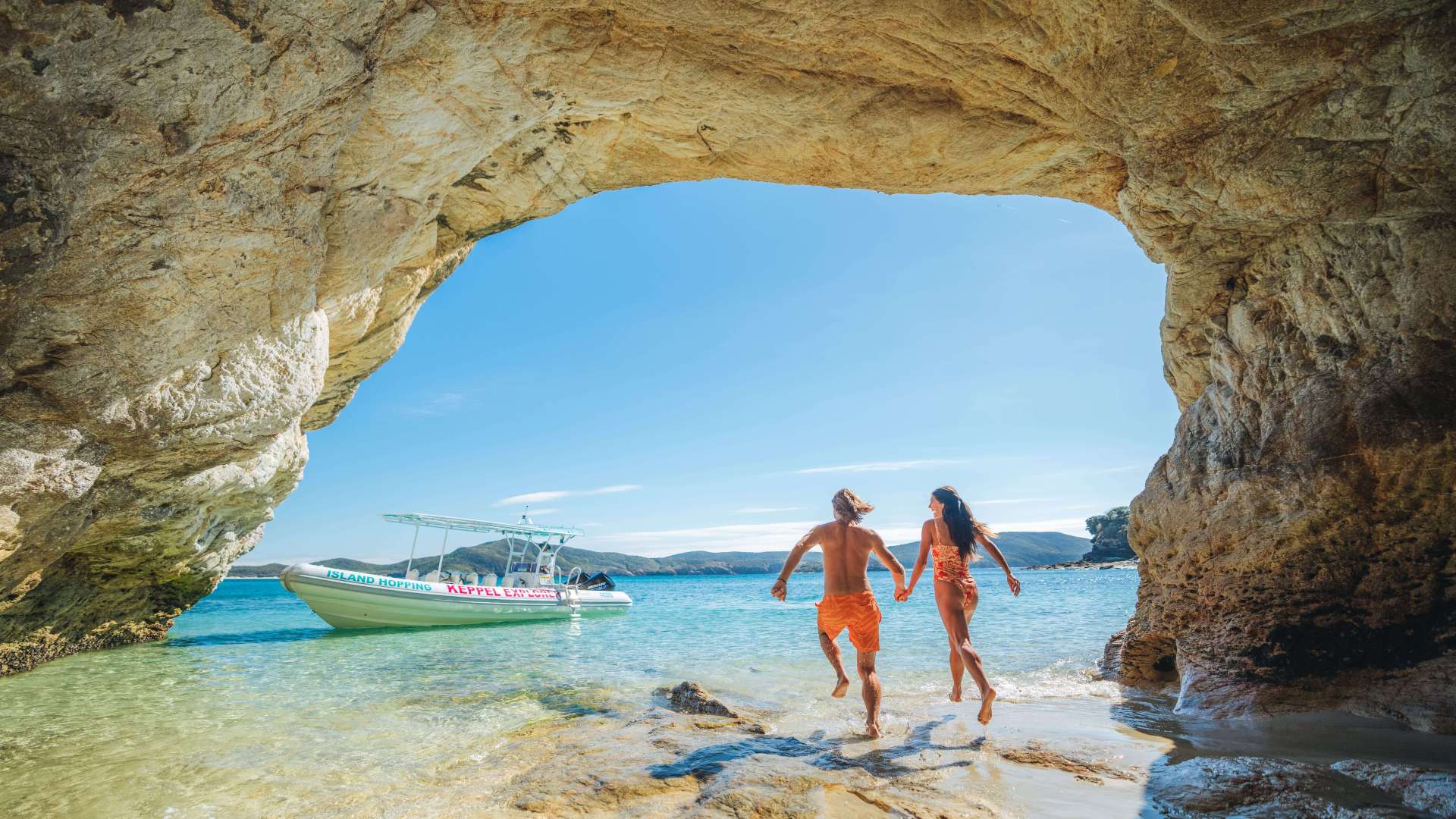 Capricorn Region
 Townsville Region
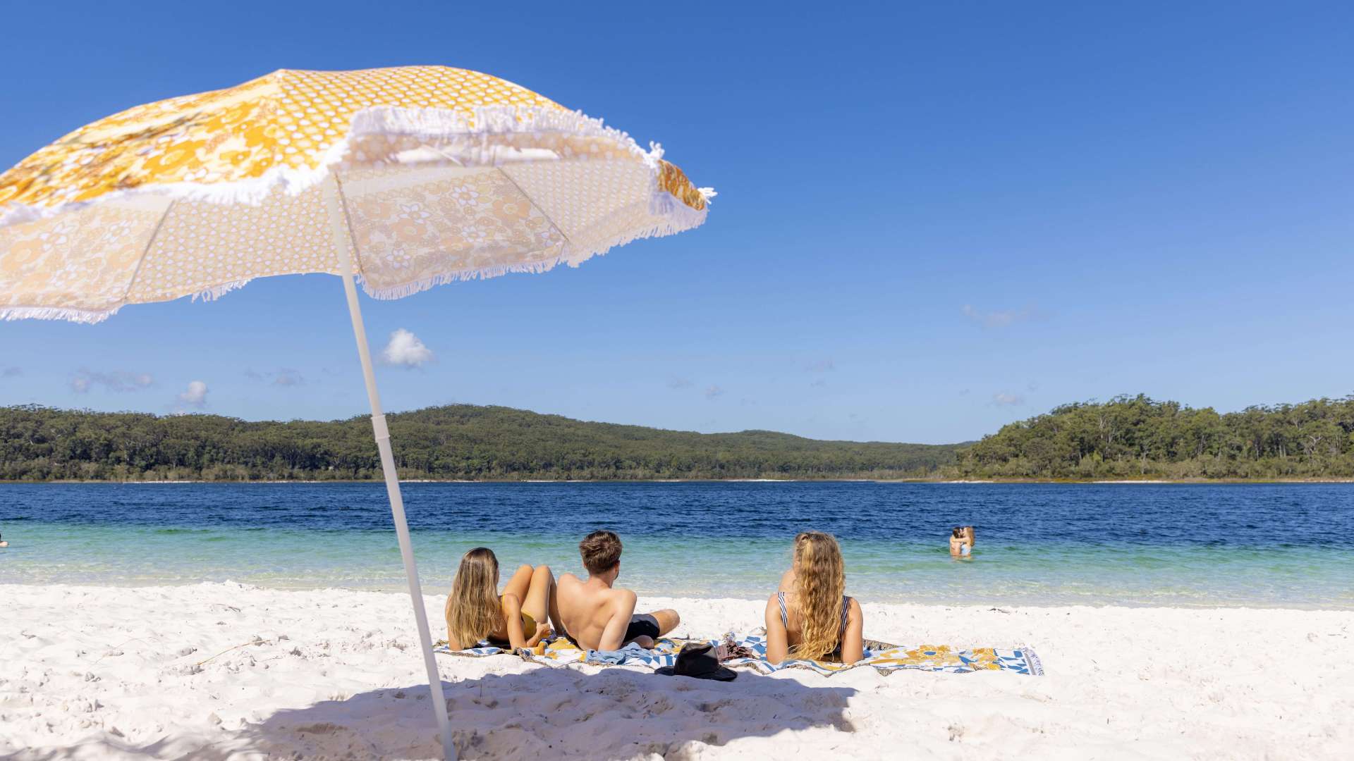 Fraser Coast Region
 Gulf Savannah
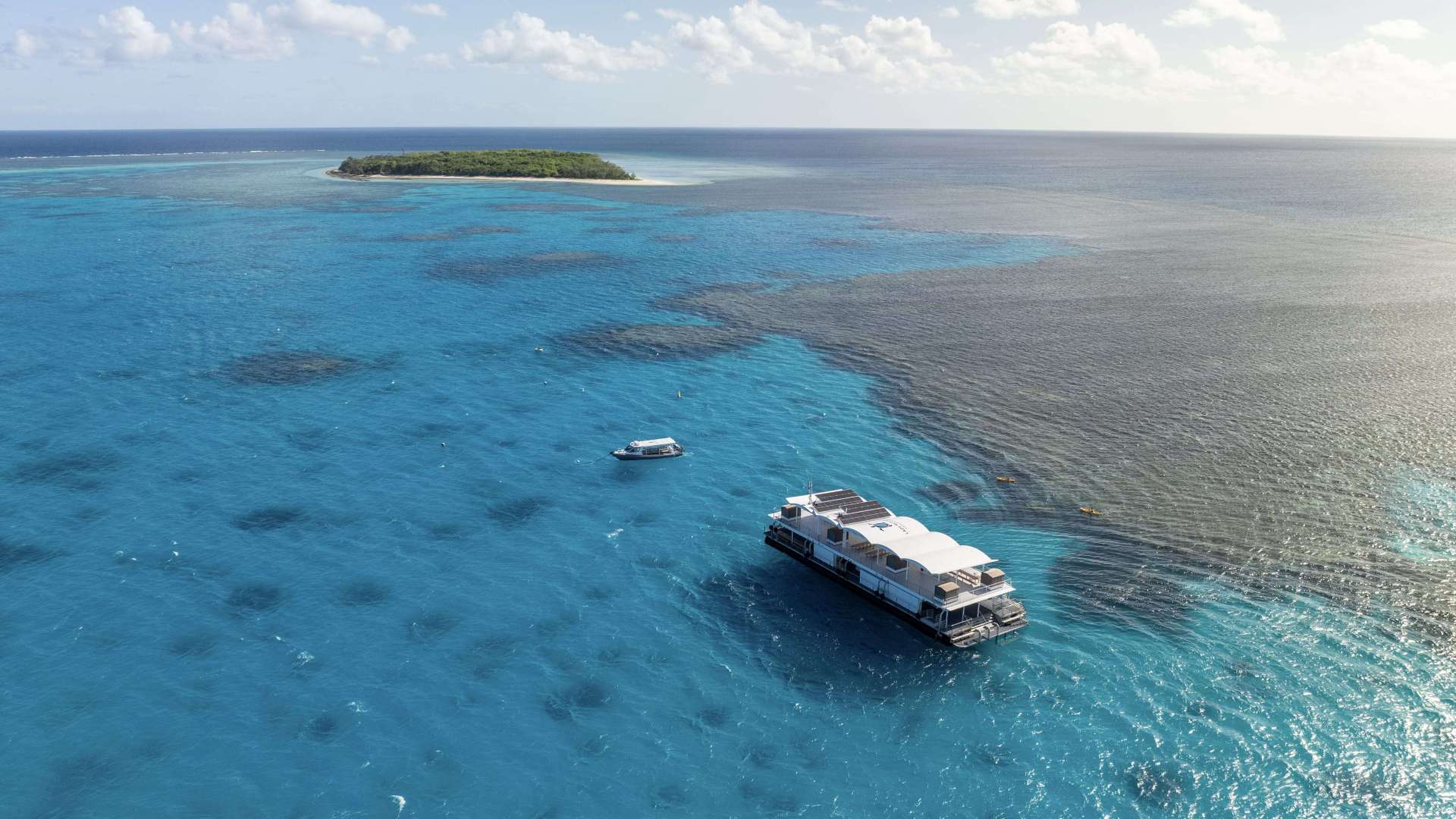 Gladstone Region
 Cocos (Keeling) Islands

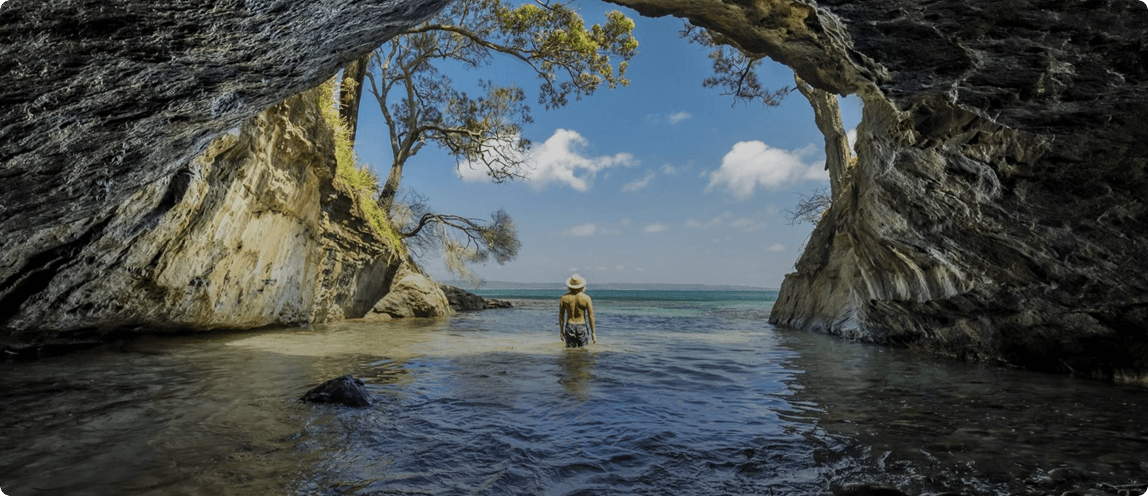
Salvator Rosa, Carnarvon National Park
 Make a Booking


Salvator Rosa, Carnarvon National Park
Salvator Rosa Road, Carnarvon National Park, Queensland, Australia, 4455
Crystal clear springs add more than ten million litres of water a day to peaceful Louisa Creek and the Nogoa River as they meander beneath a backdrop of rocky sandstone crags and spires in the Salvator Rosa section of Carnarvon National Park.
Named by explorer Sir Thomas Mitchell in 1846, Salvator Rosa, a section of Carnarvon National Park, is at the western edge of the Central Queensland Sandstone Belt. The course-grained sandstones of Salvator Rosa are very crumbly. Erosion of the sandstone has left behind many interesting features that dominate the skyline, including Spyglass Peak and the Sentinel.
Wildflowers add colour to the landscape in spring. Large white flannel flowers and cream sprays of narrow-leaved logania contrasts with the pink flowers hanging from the shrubby Homoranthus. Of the more than 300 plant species recorded in the park, at least ten are considered rare or threatened.
Highlights


Address
Salvator Rosa Road, Carnarvon National Park, Queensland, Australia, 4455
Make a Booking
You might also like...
 Great Ocean Road, Victoria
1 / 5
Starting Planning your next thing With Us
Your next big adventure awaits, and Things to Do is here to help make that run smoothly! Join today and take advantage of our easy to use features.
Join Now