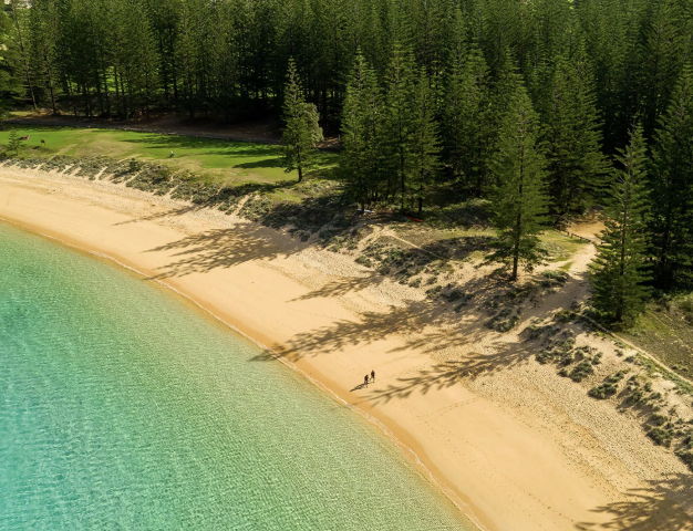
 Norfolk Island
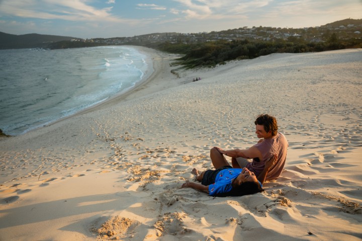
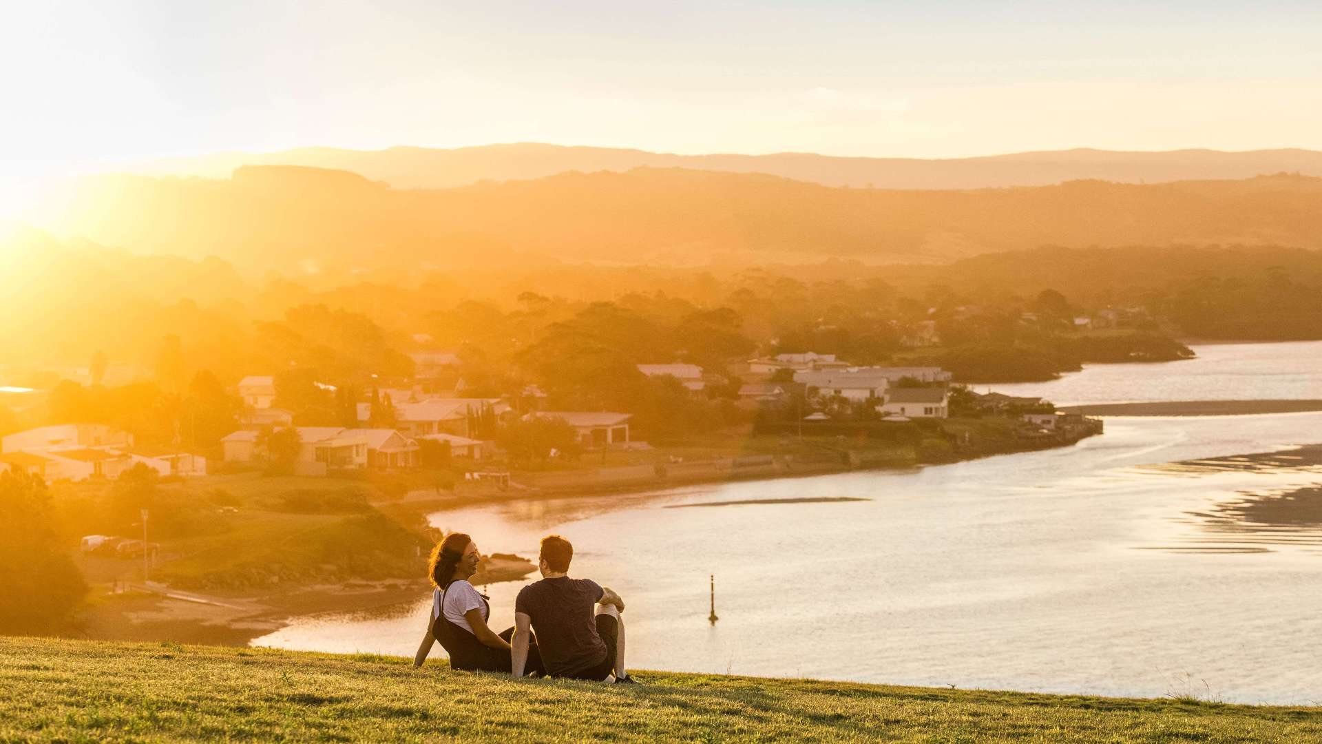 South Coast
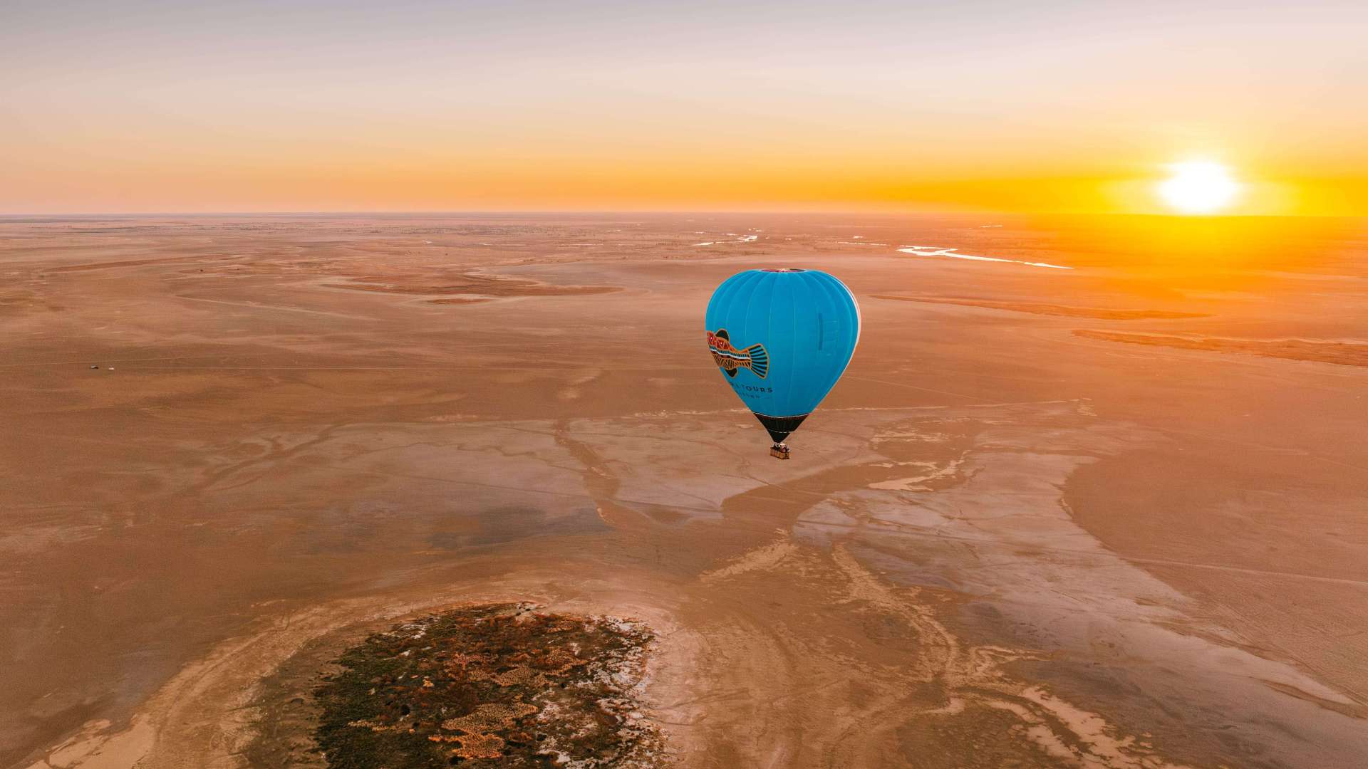
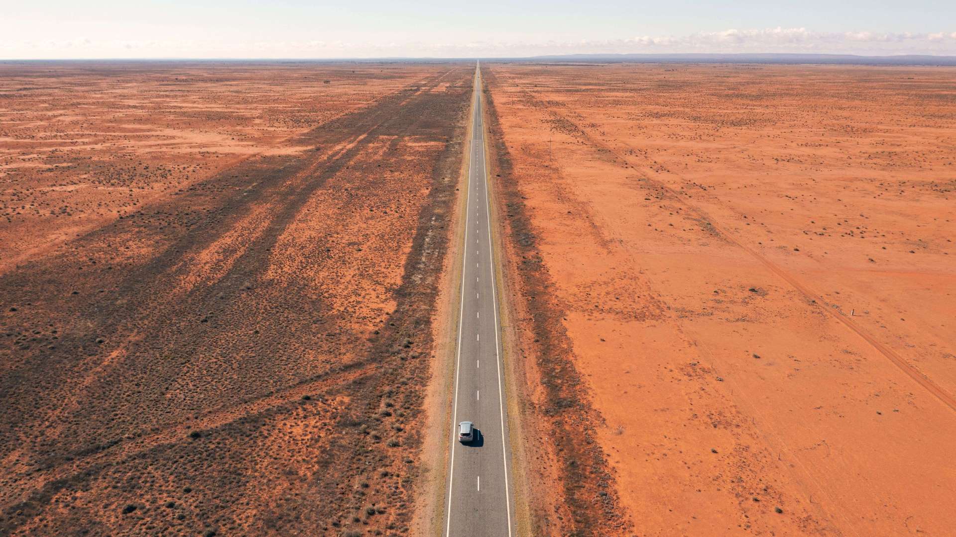 Outback NSW
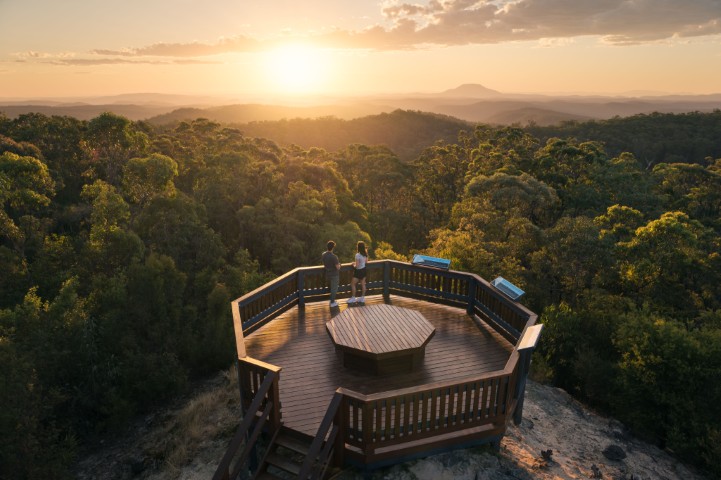
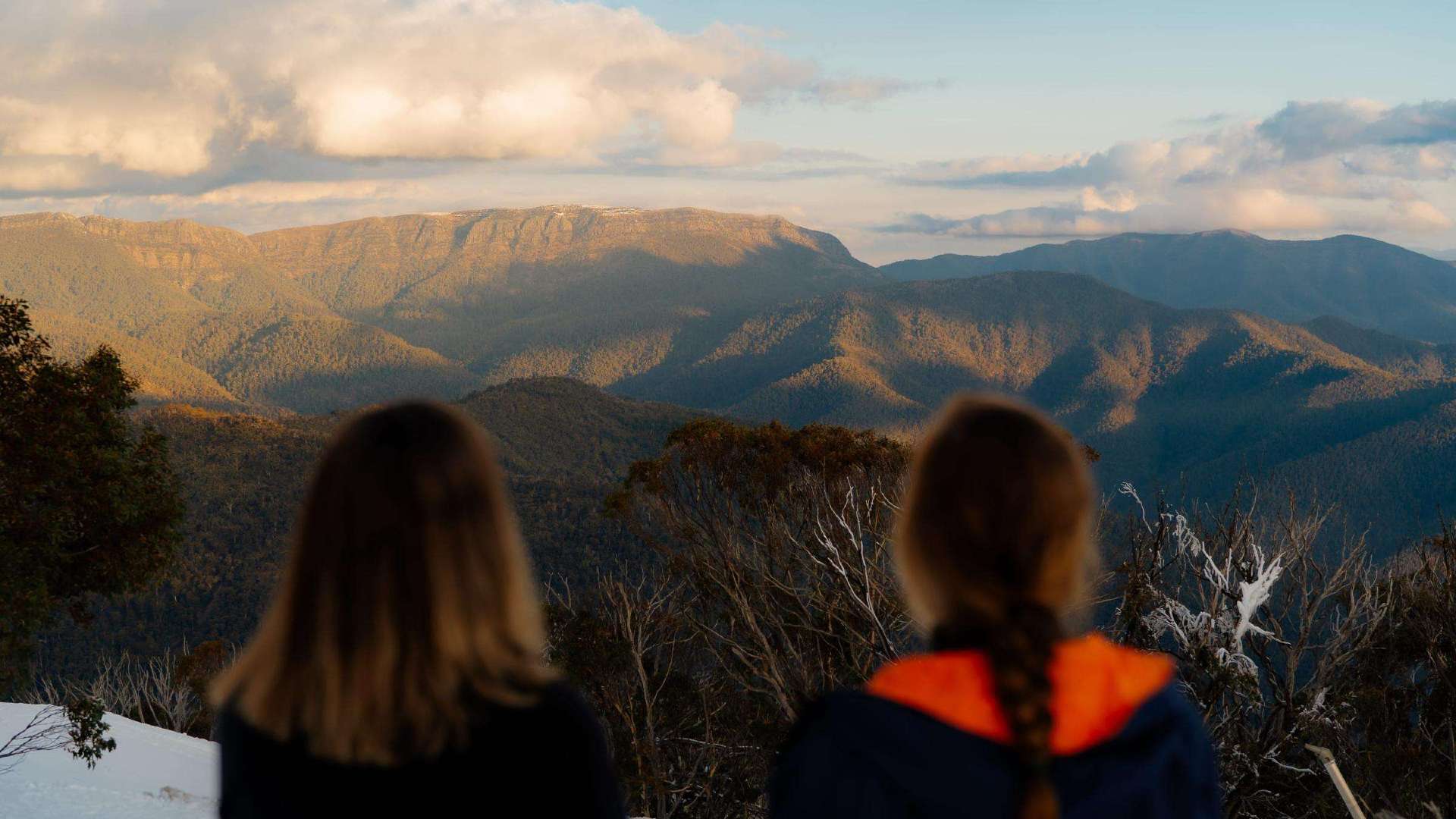
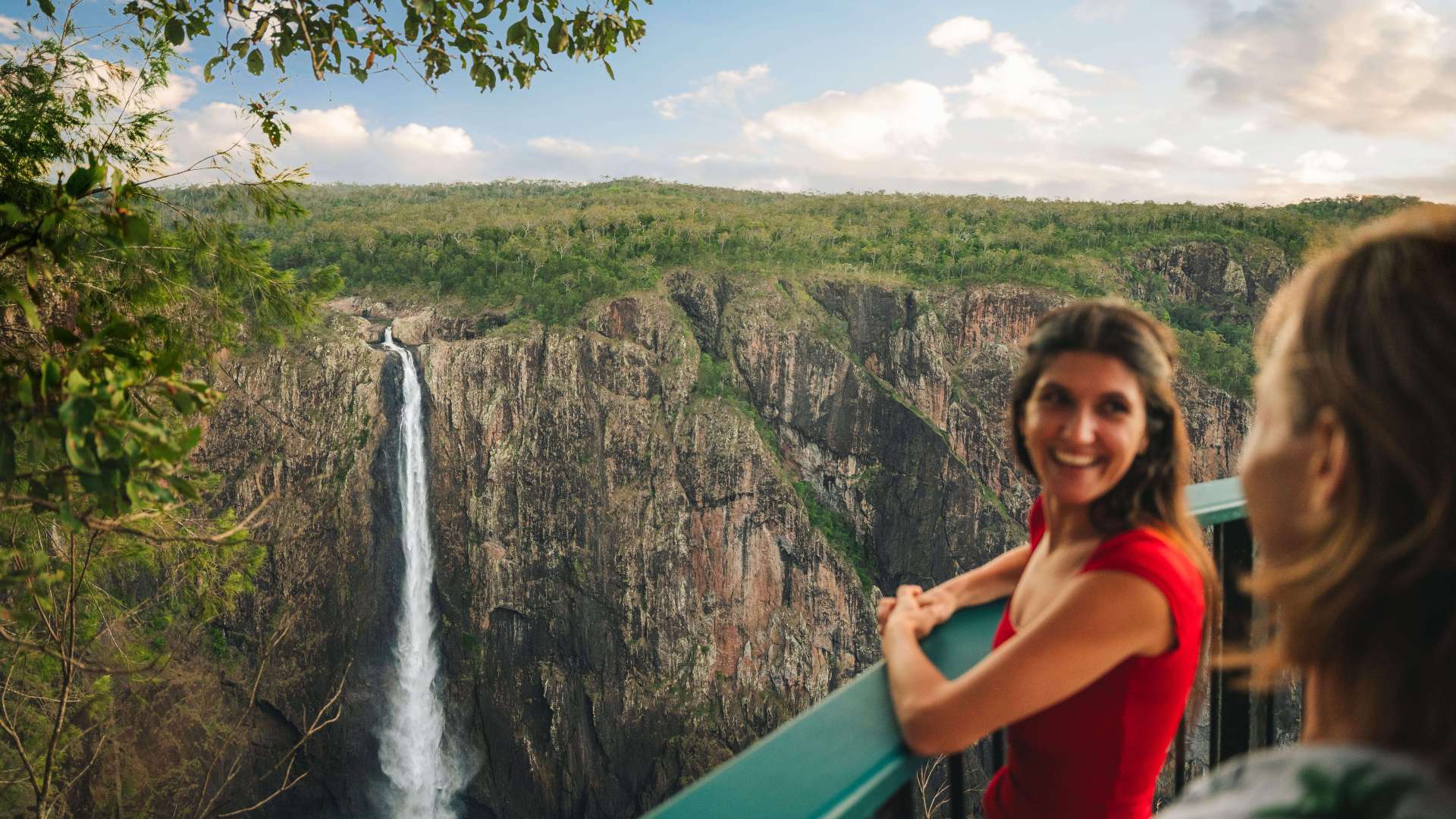
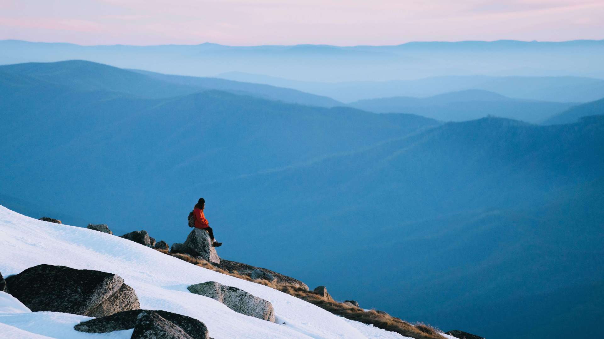 Snowy Mountains
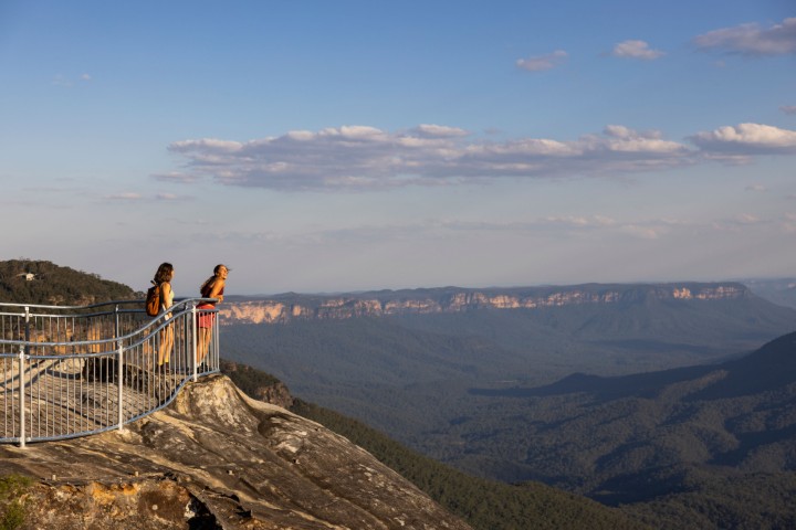 Blue Mountains
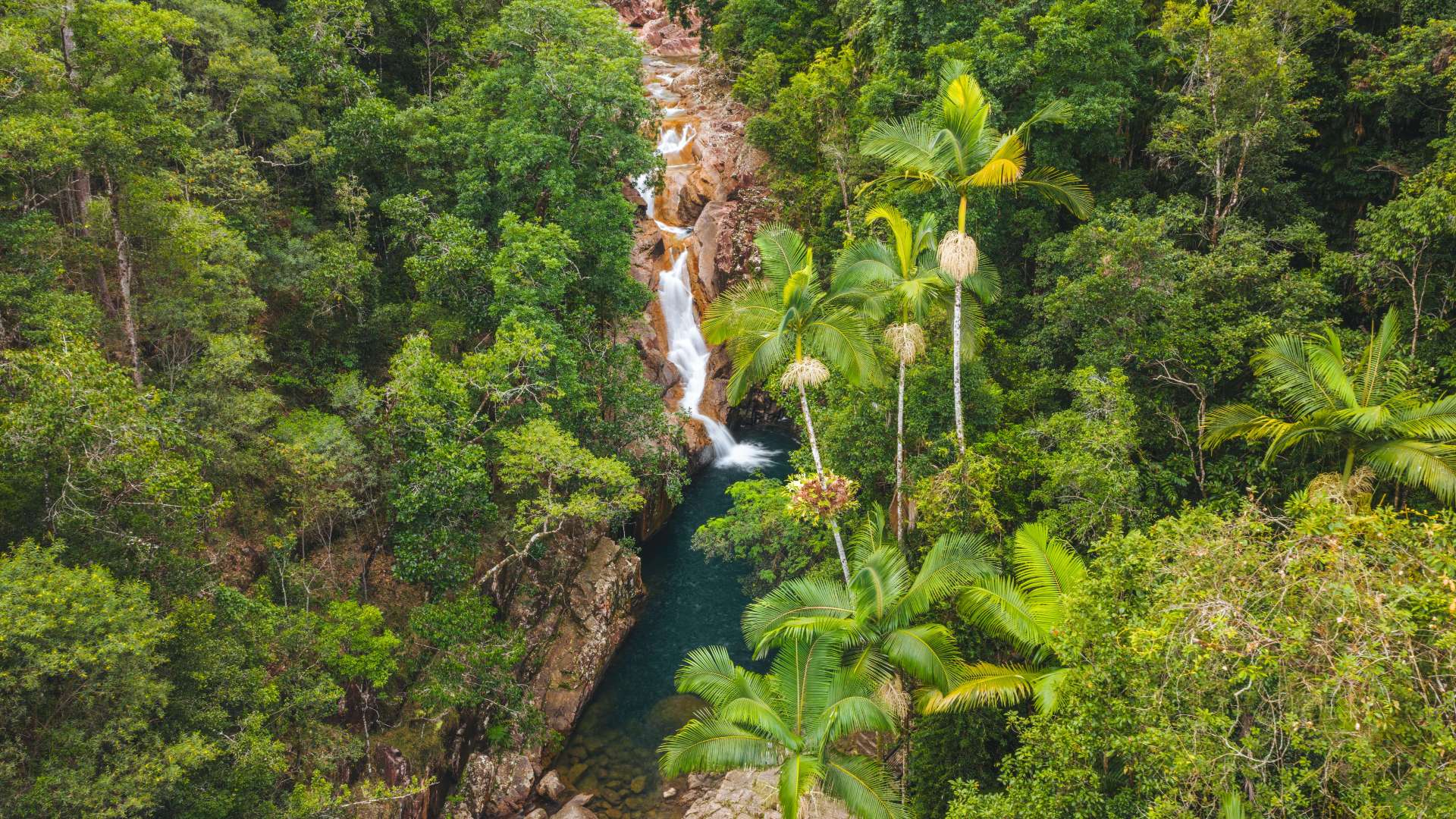
 North Coast
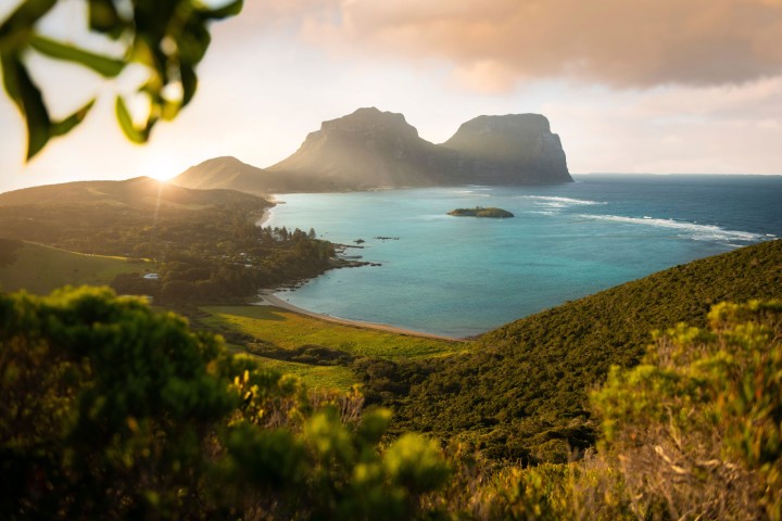 Lord Howe Island
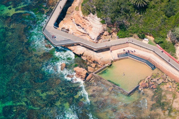 Central Coast
 Greater Sydney
 Country NSW

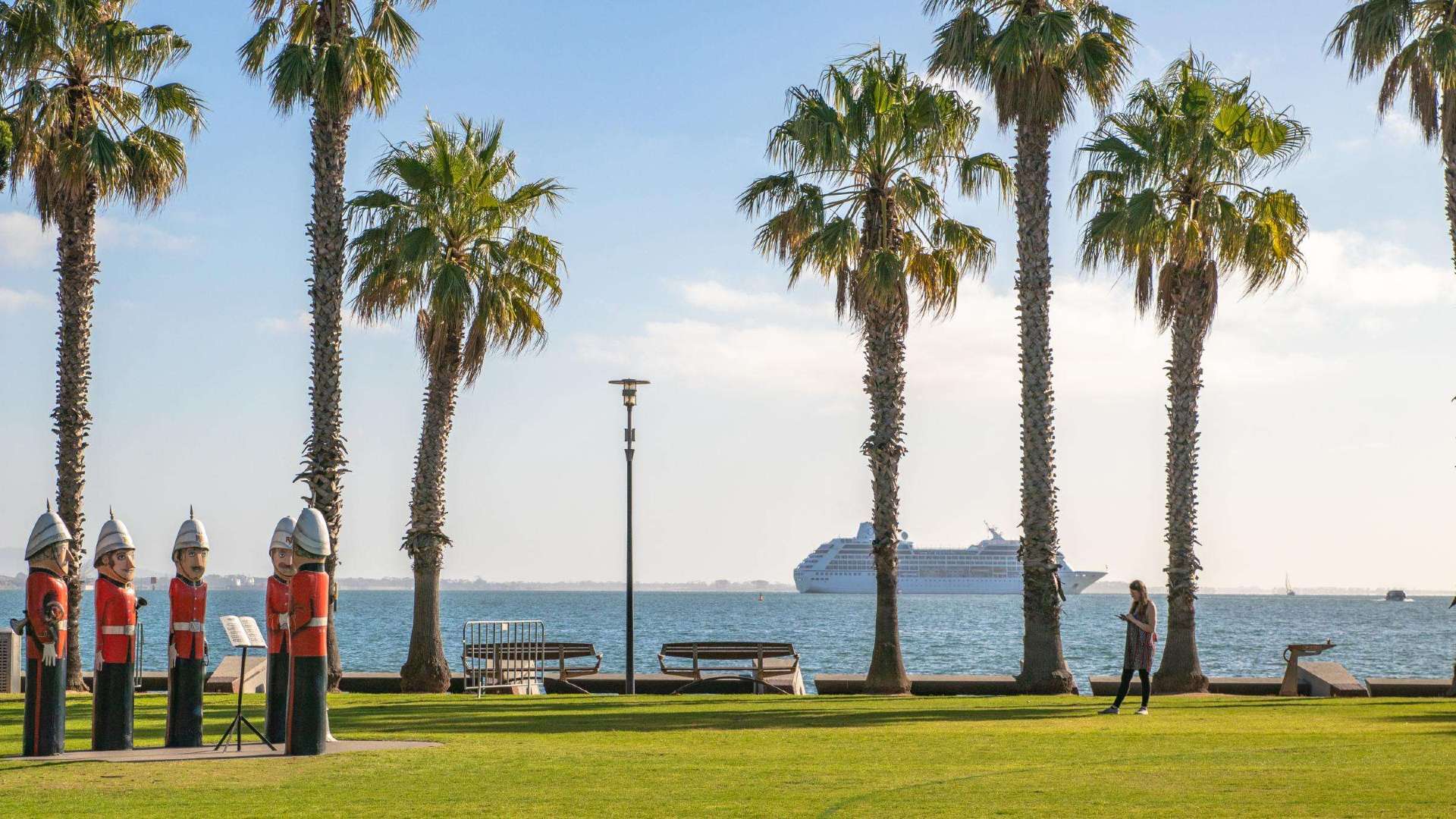 Geelong & the Bellarine
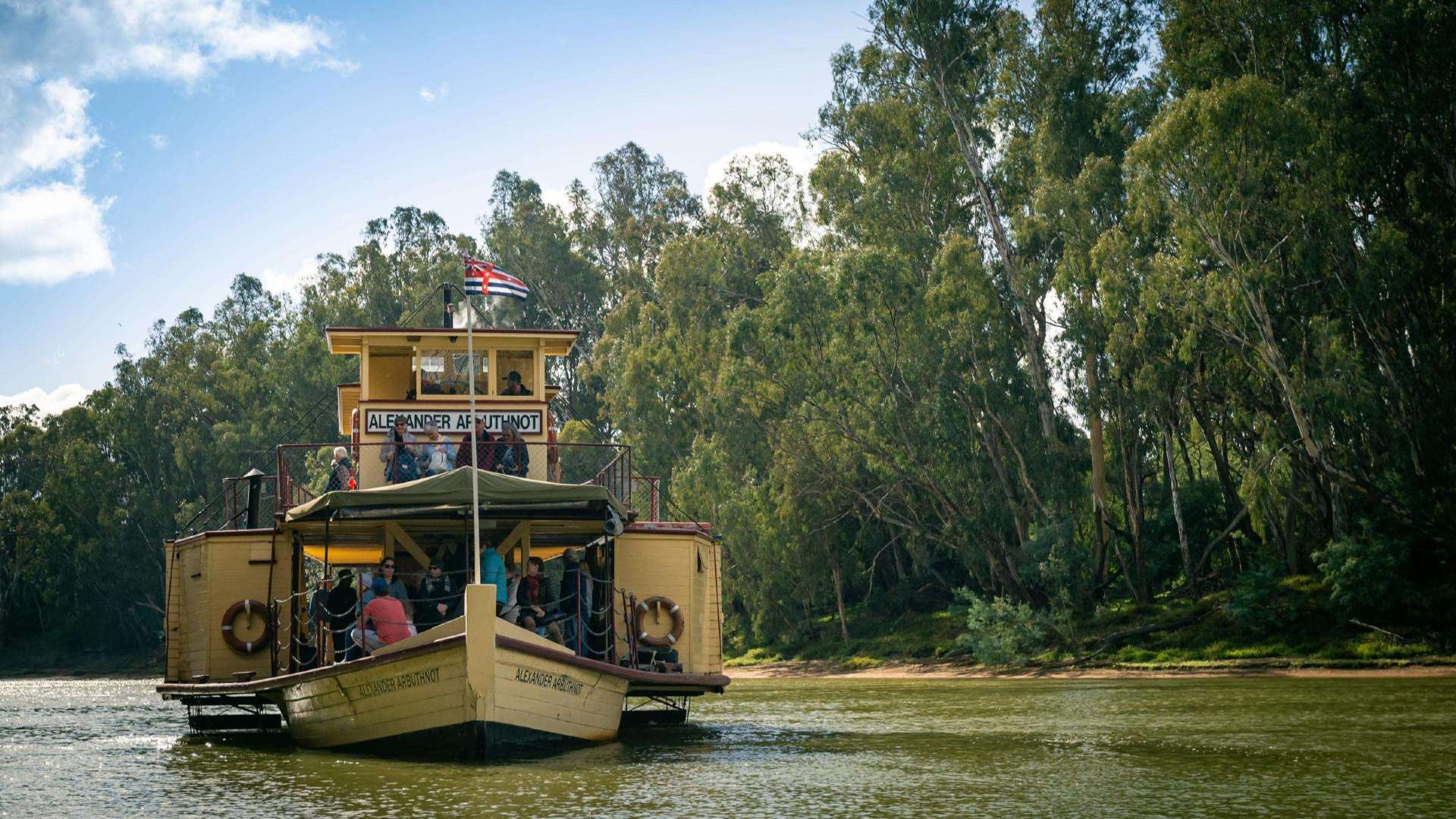 The Murray
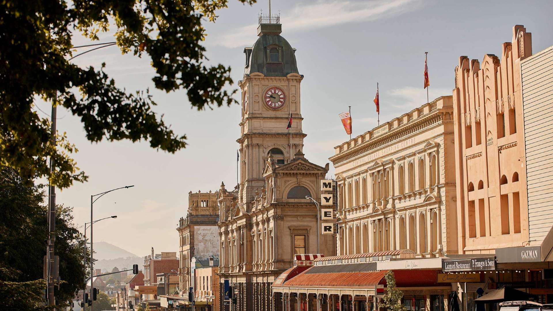 Goldfields
 Daylesford & the Macedon Ranges
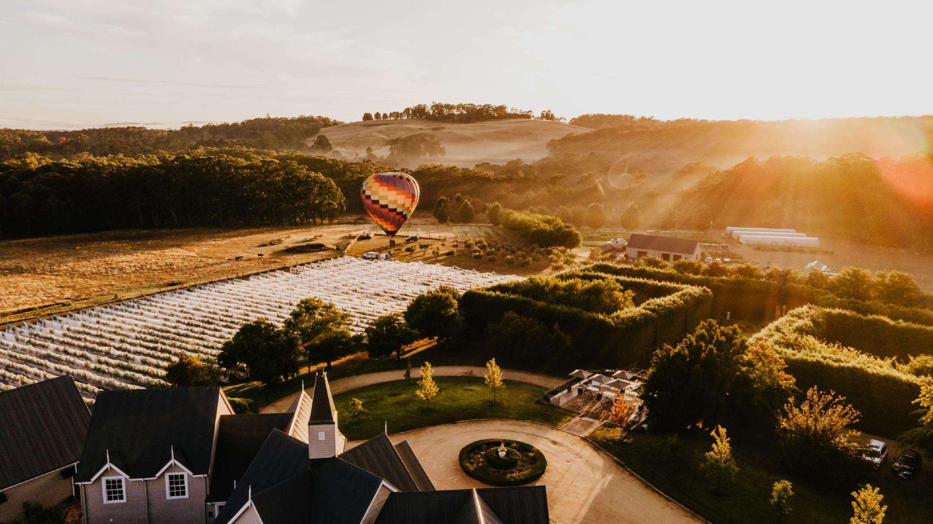
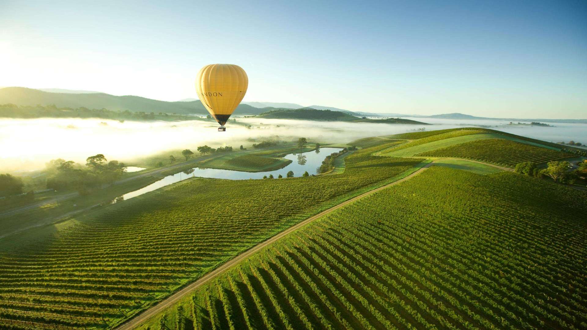 Yarra Valley & Dandenong Ranges
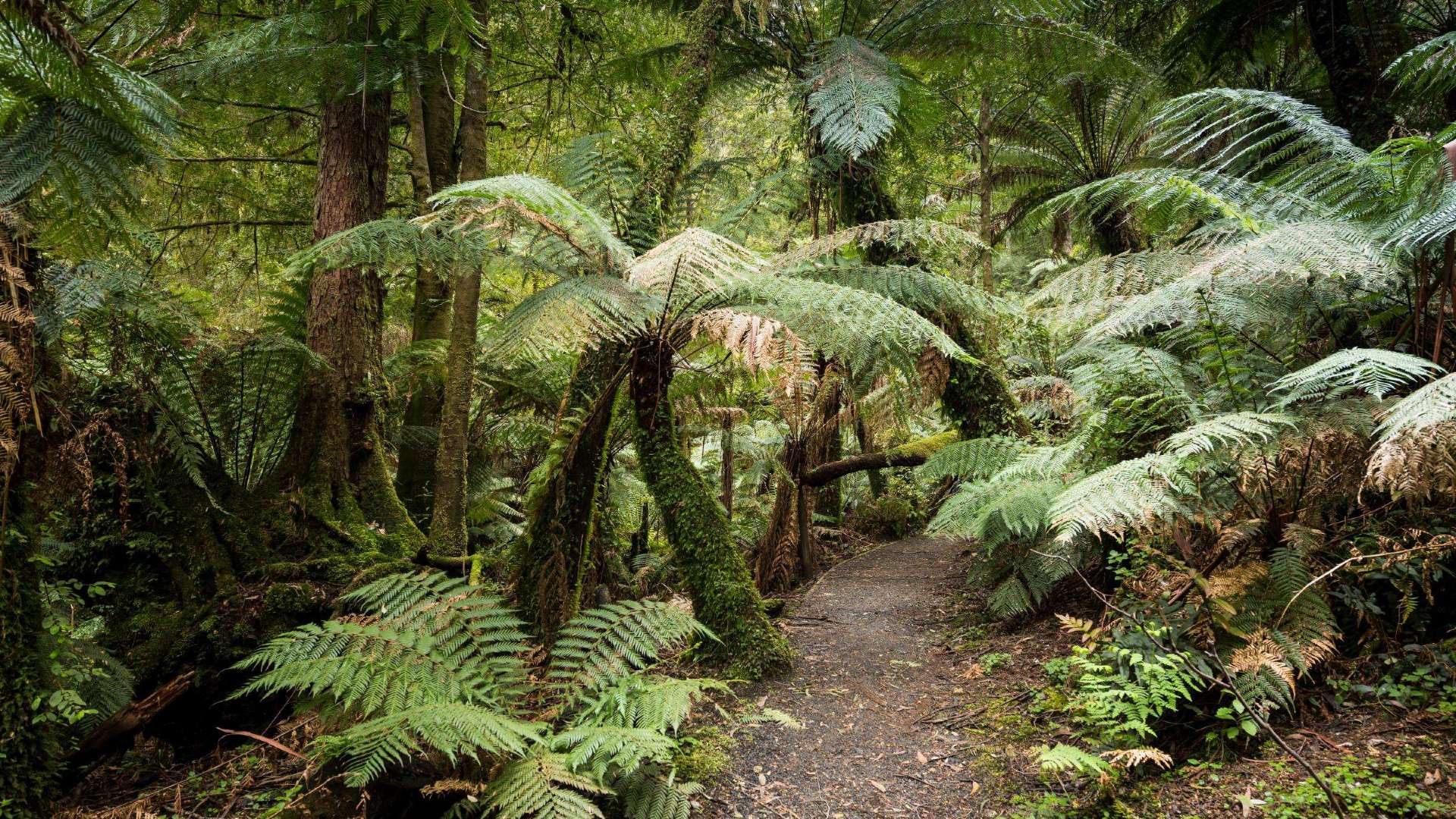 Gippsland
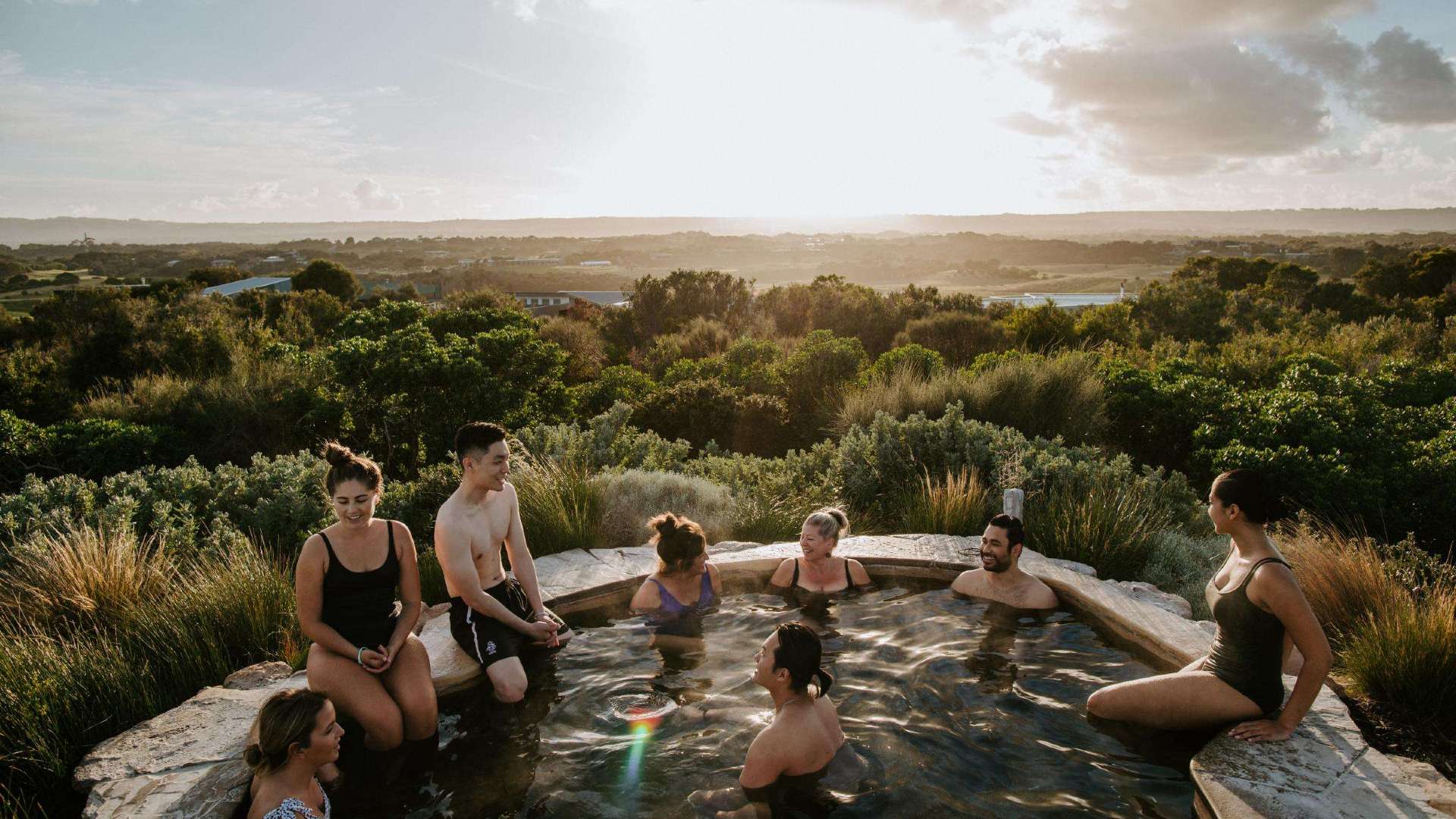 Mornington Peninsula
 Melbourne
 High Country
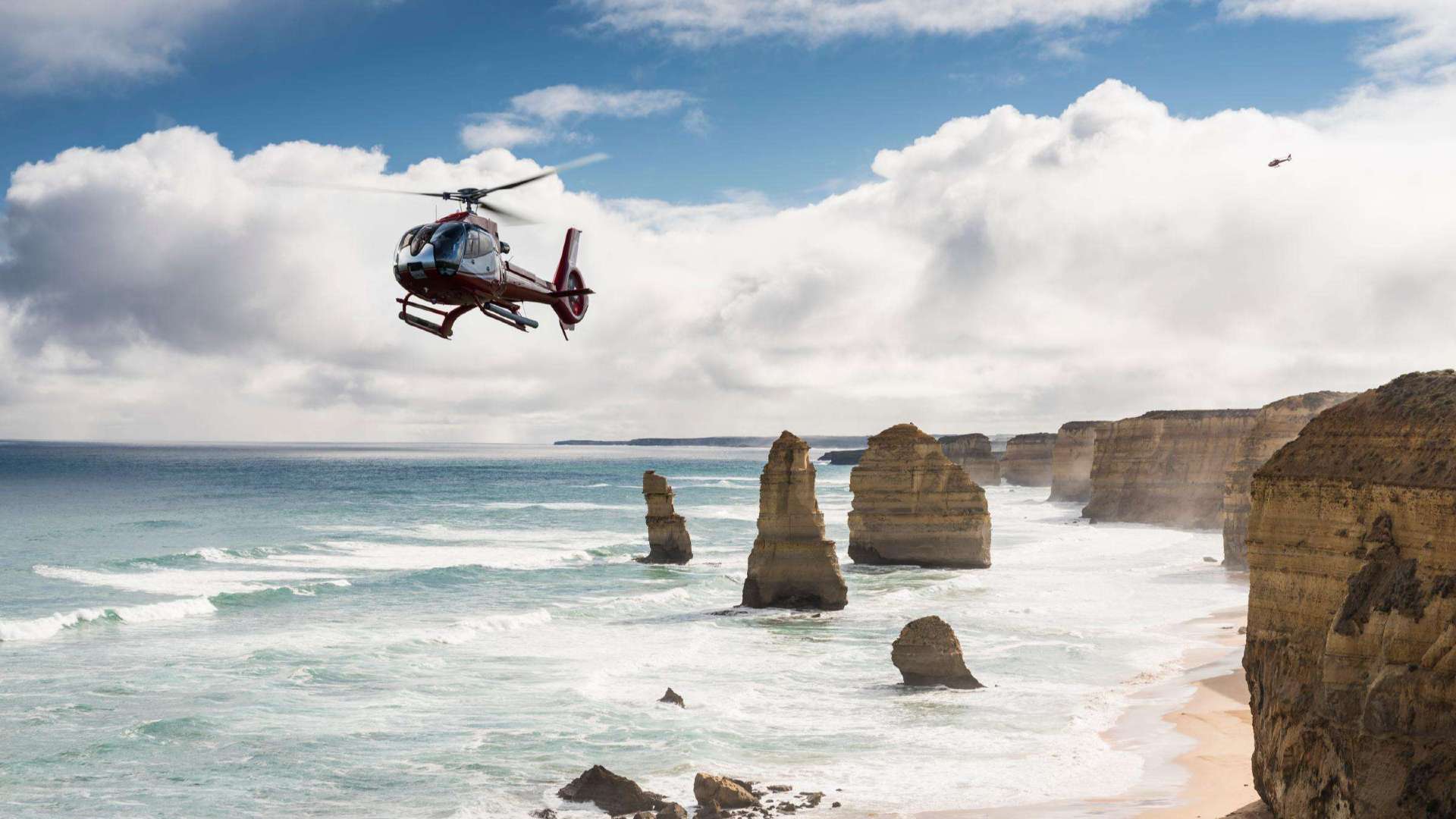 Great Ocean Road
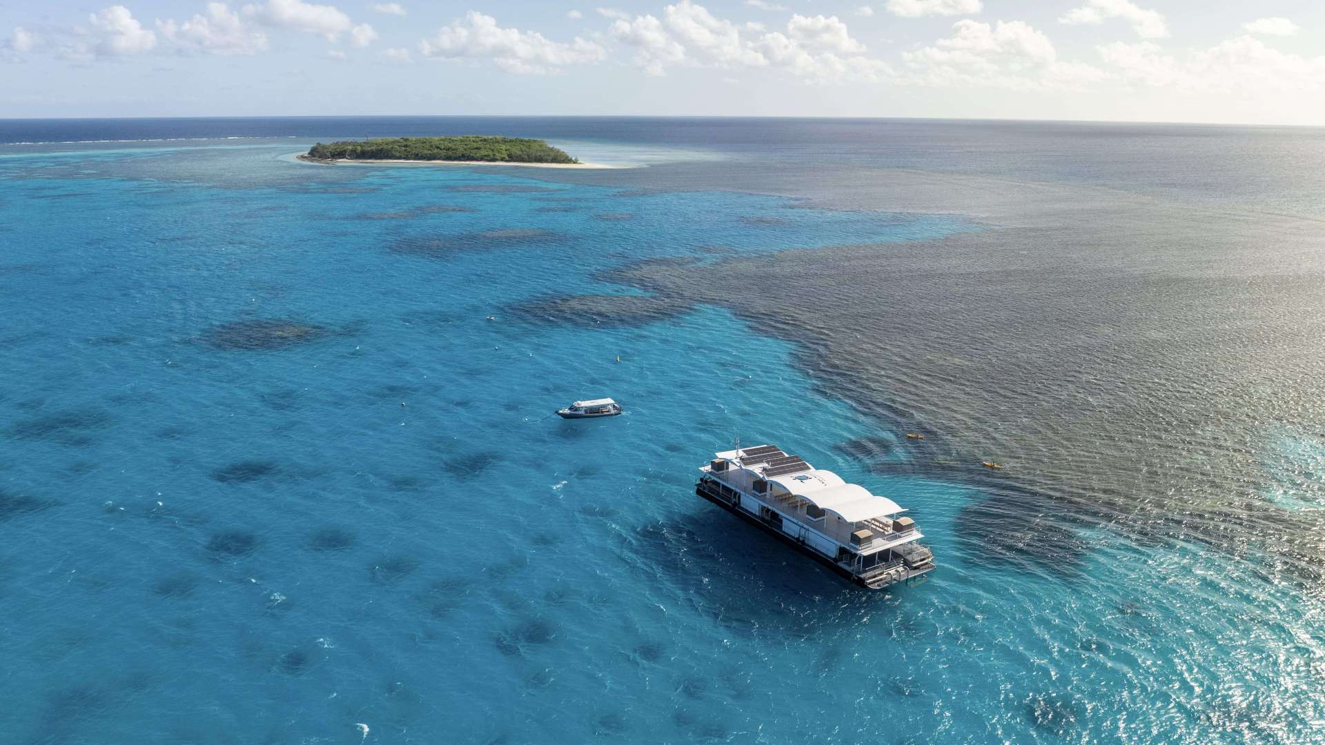
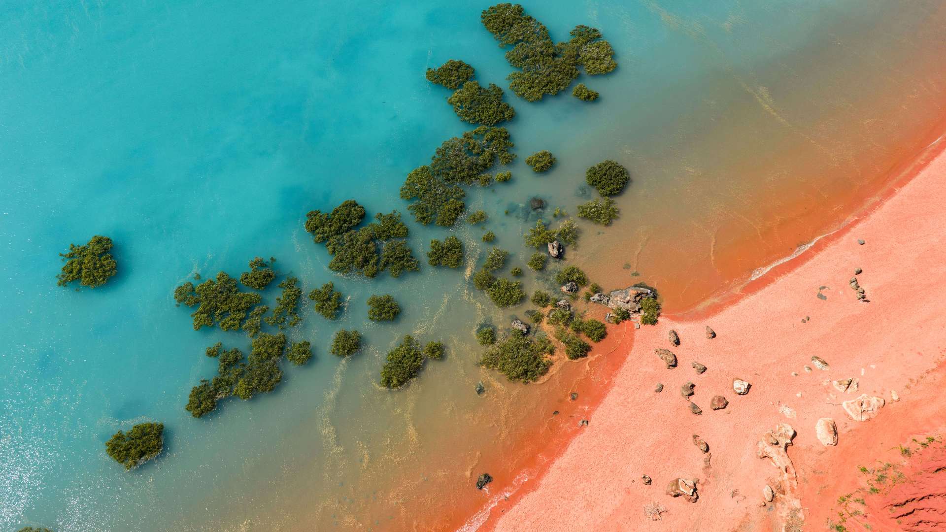
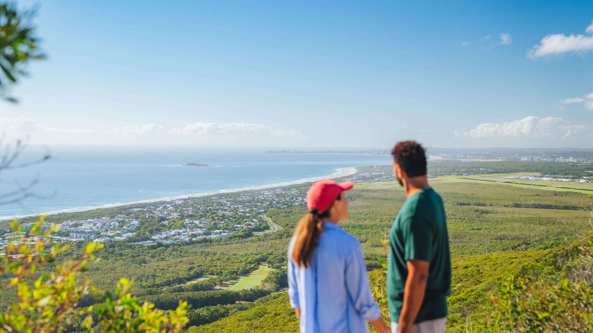 Sunshine Coast Region
 Mackay Region
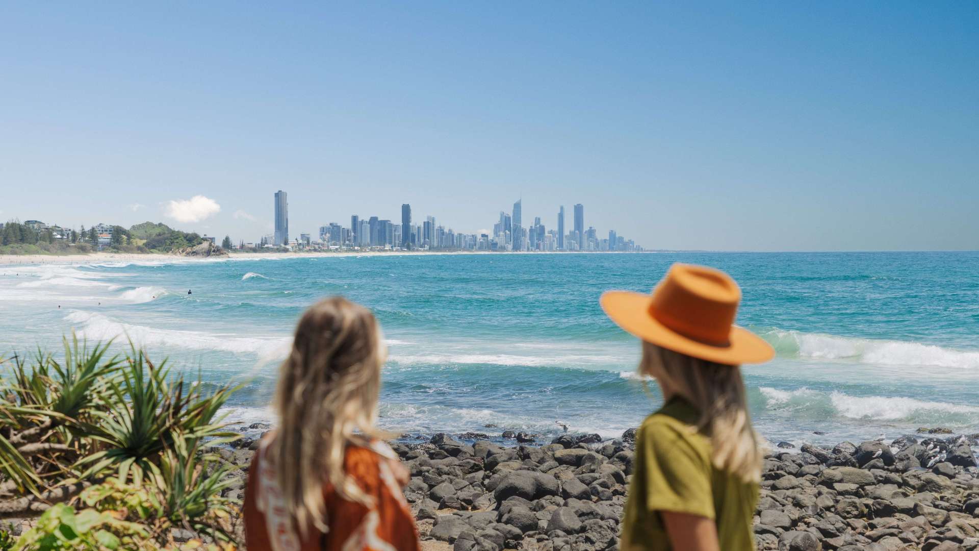 Gold Coast Region
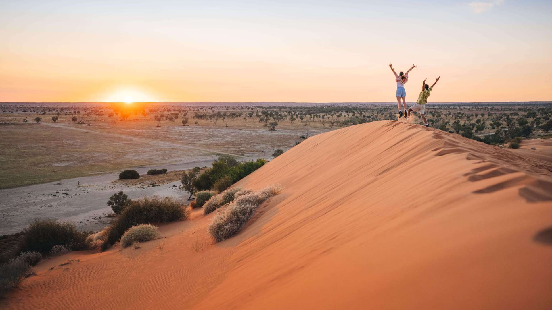 Far West
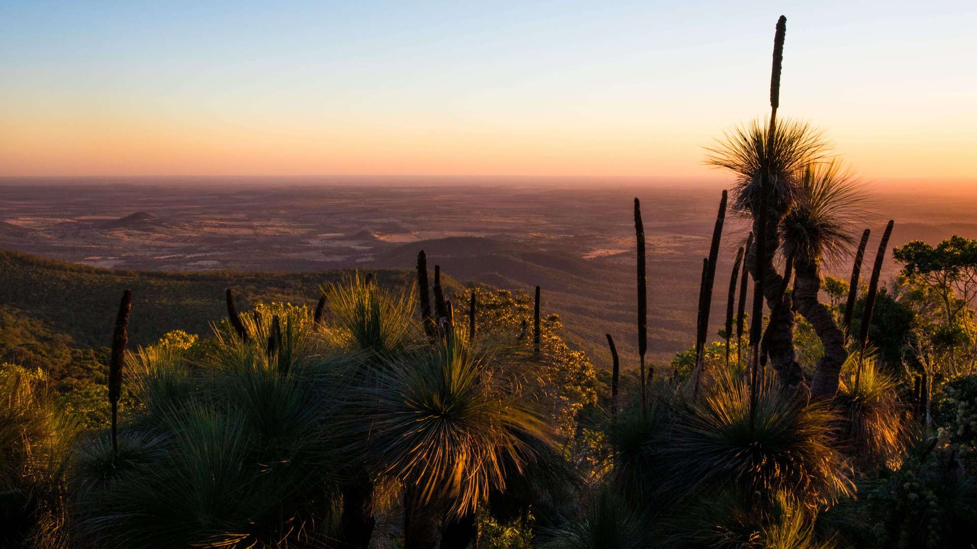 Western Downs Region
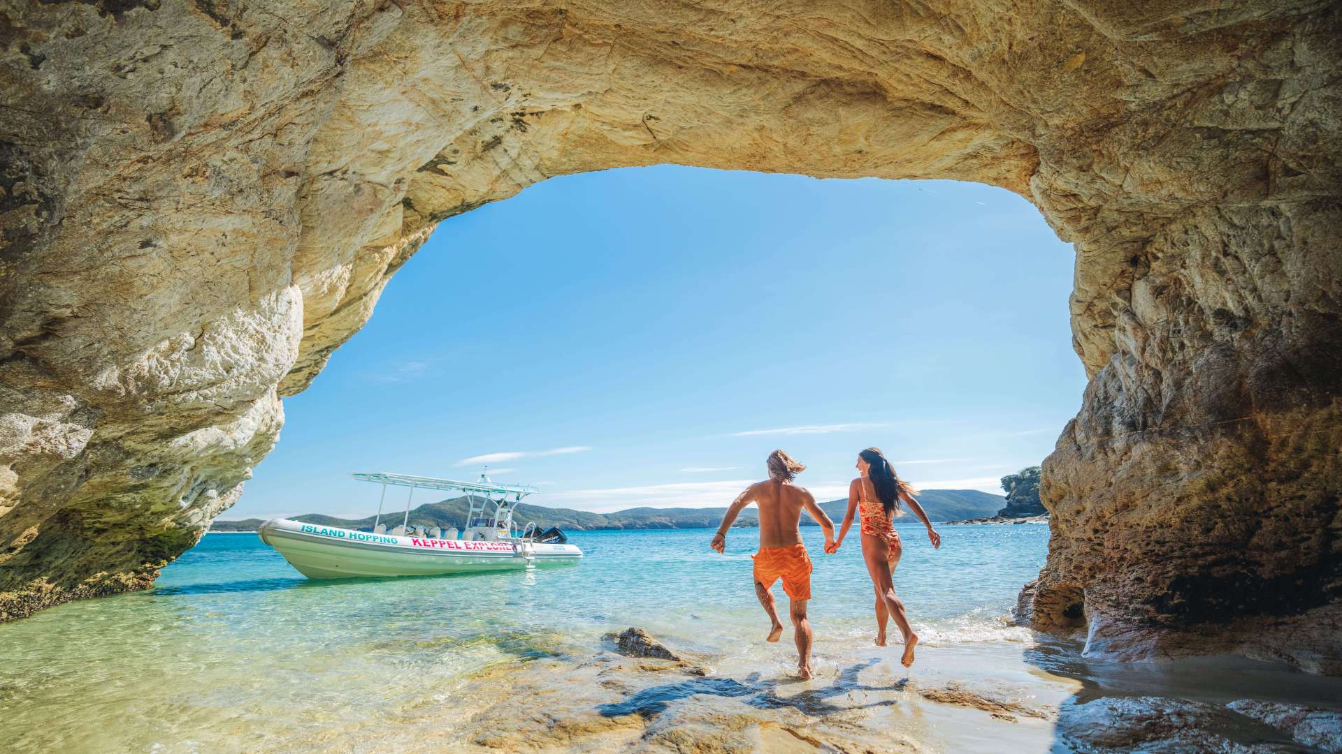 Capricorn Region
 Townsville Region
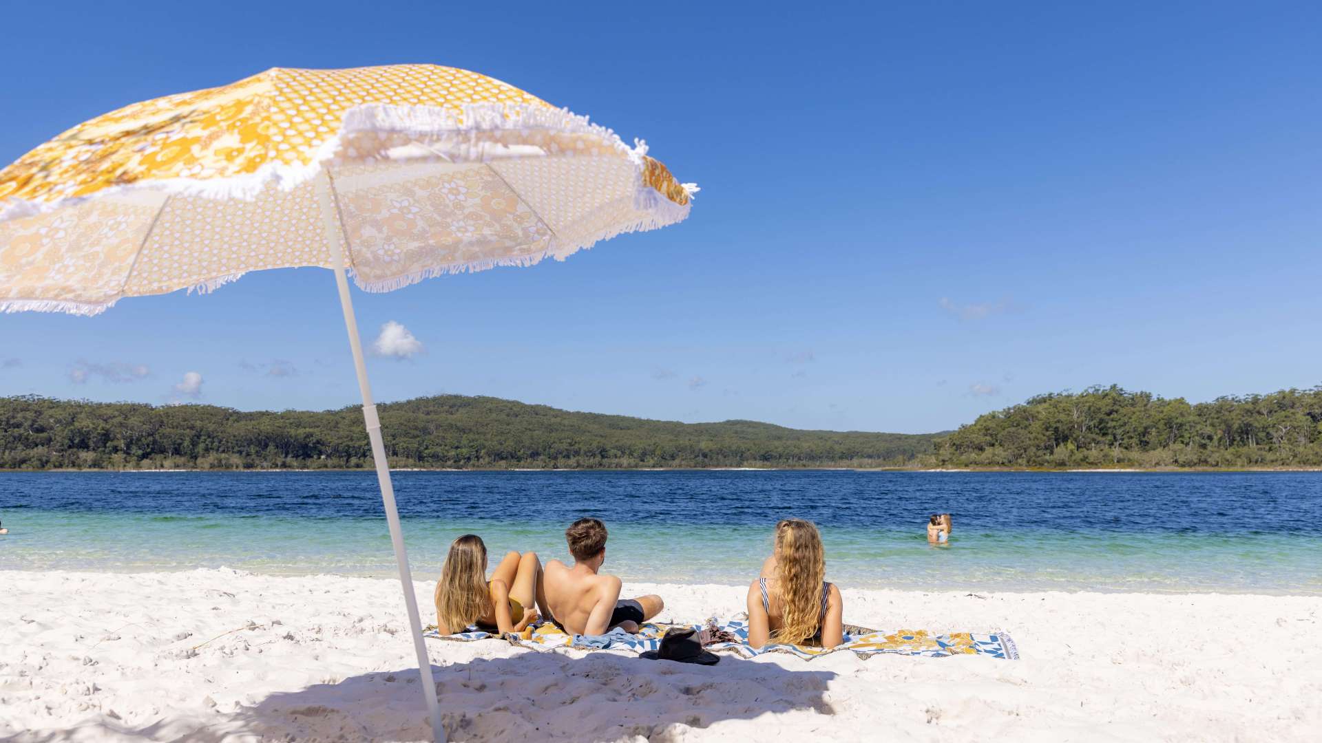 Fraser Coast Region
 Gulf Savannah
 Gladstone Region
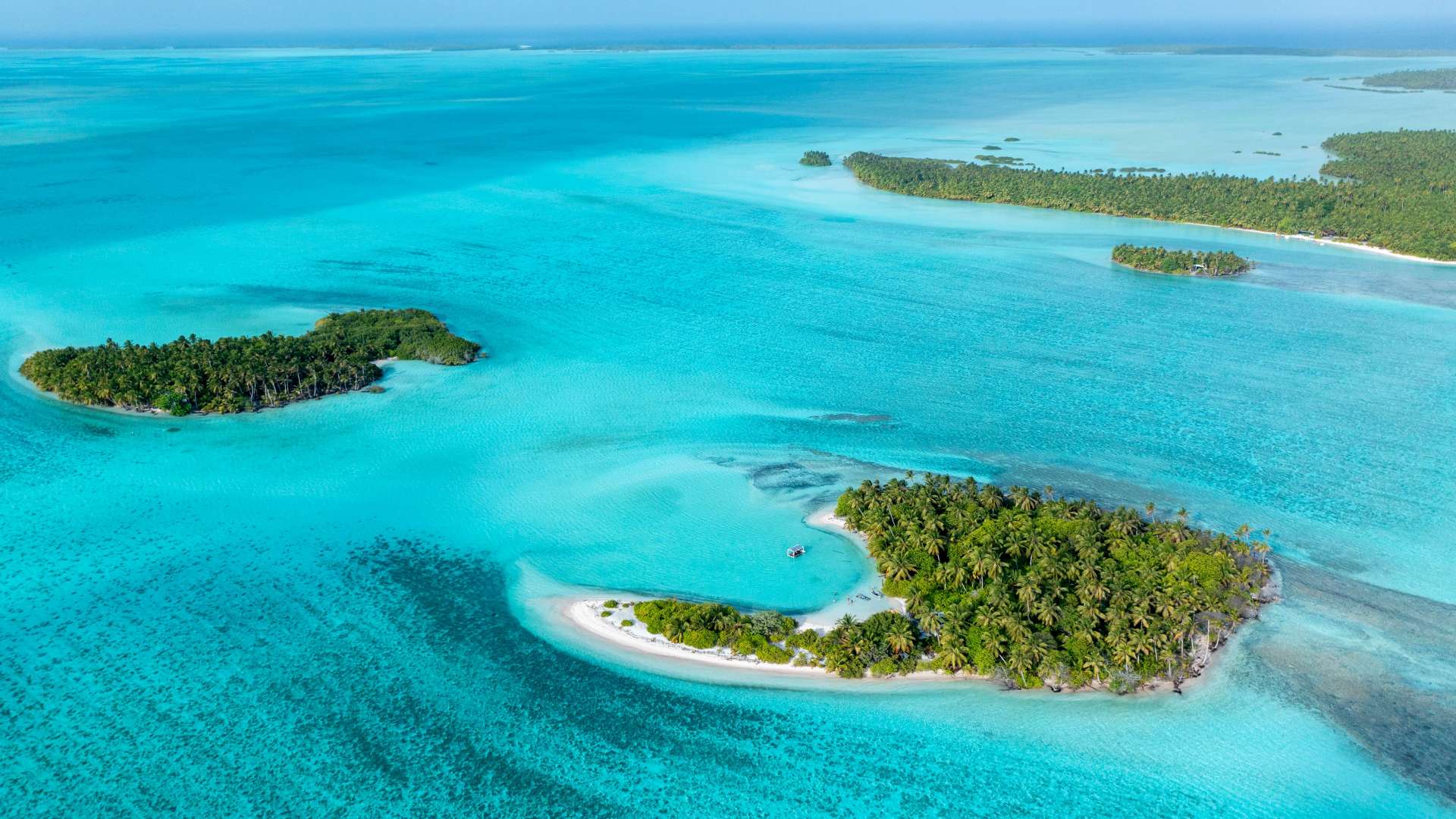 Cocos (Keeling) Islands
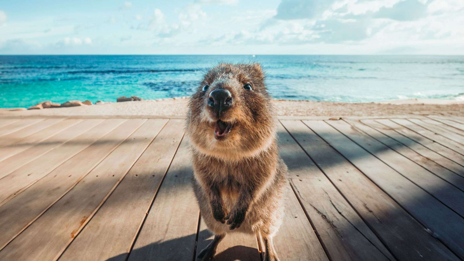
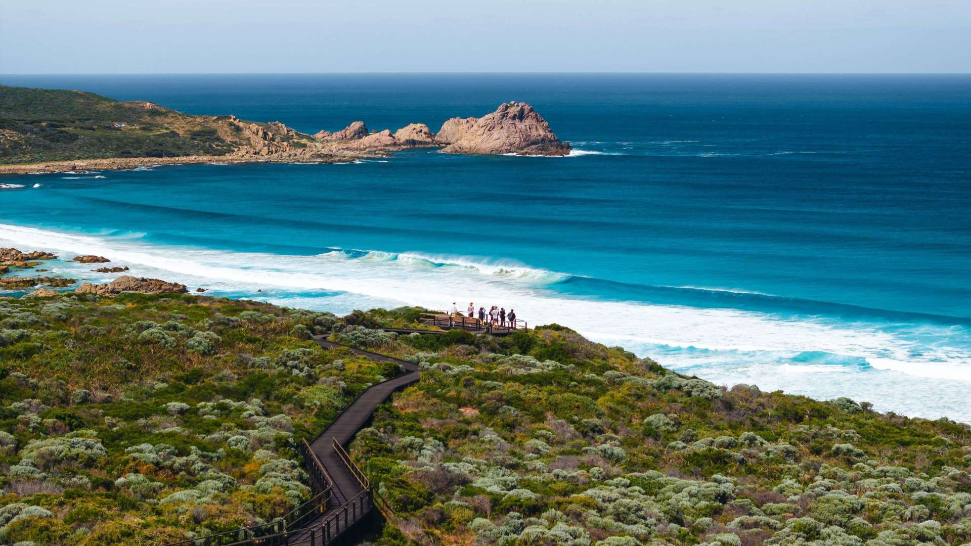 Australia's South West
 Destination Perth
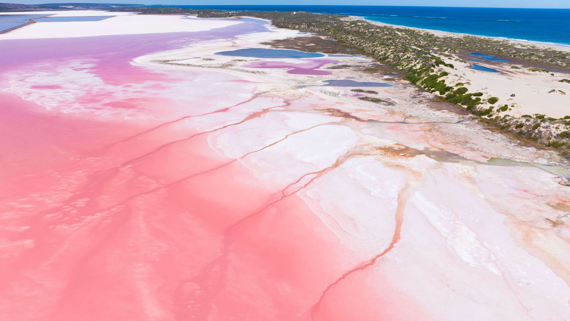 Australia's Coral Coast
 Australia's North West
 Australia's Golden Outback
 Christmas Island
 Limestone Coast
 Uluru/Kata Tjuta Region
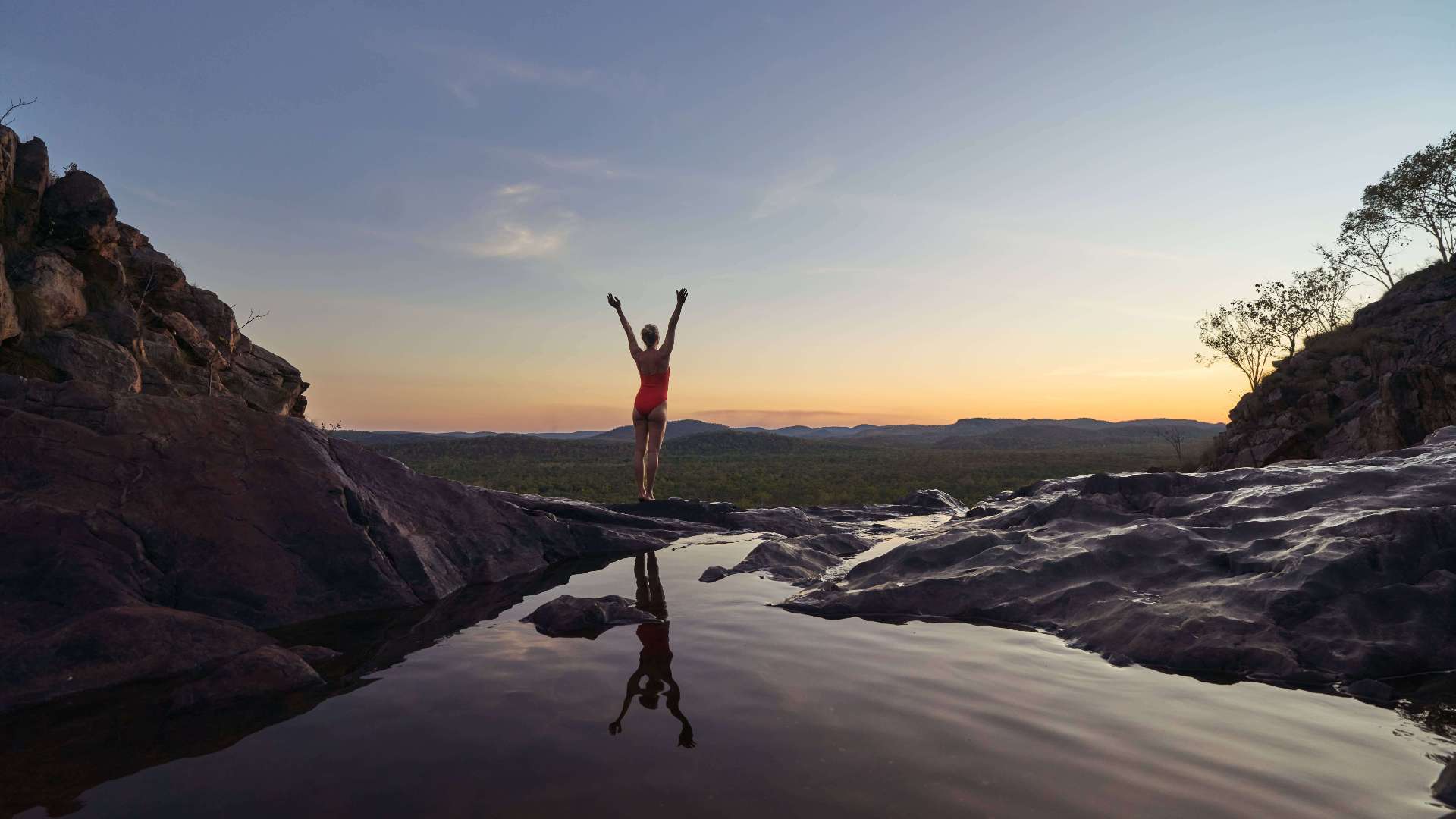 Kakadu
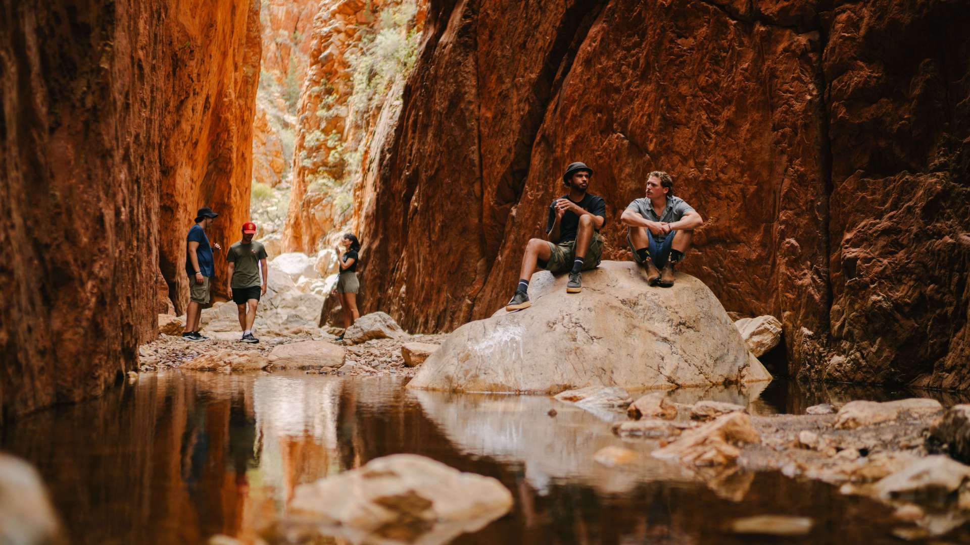 Alice Springs & Surrounds
 Darwin & Surrounds
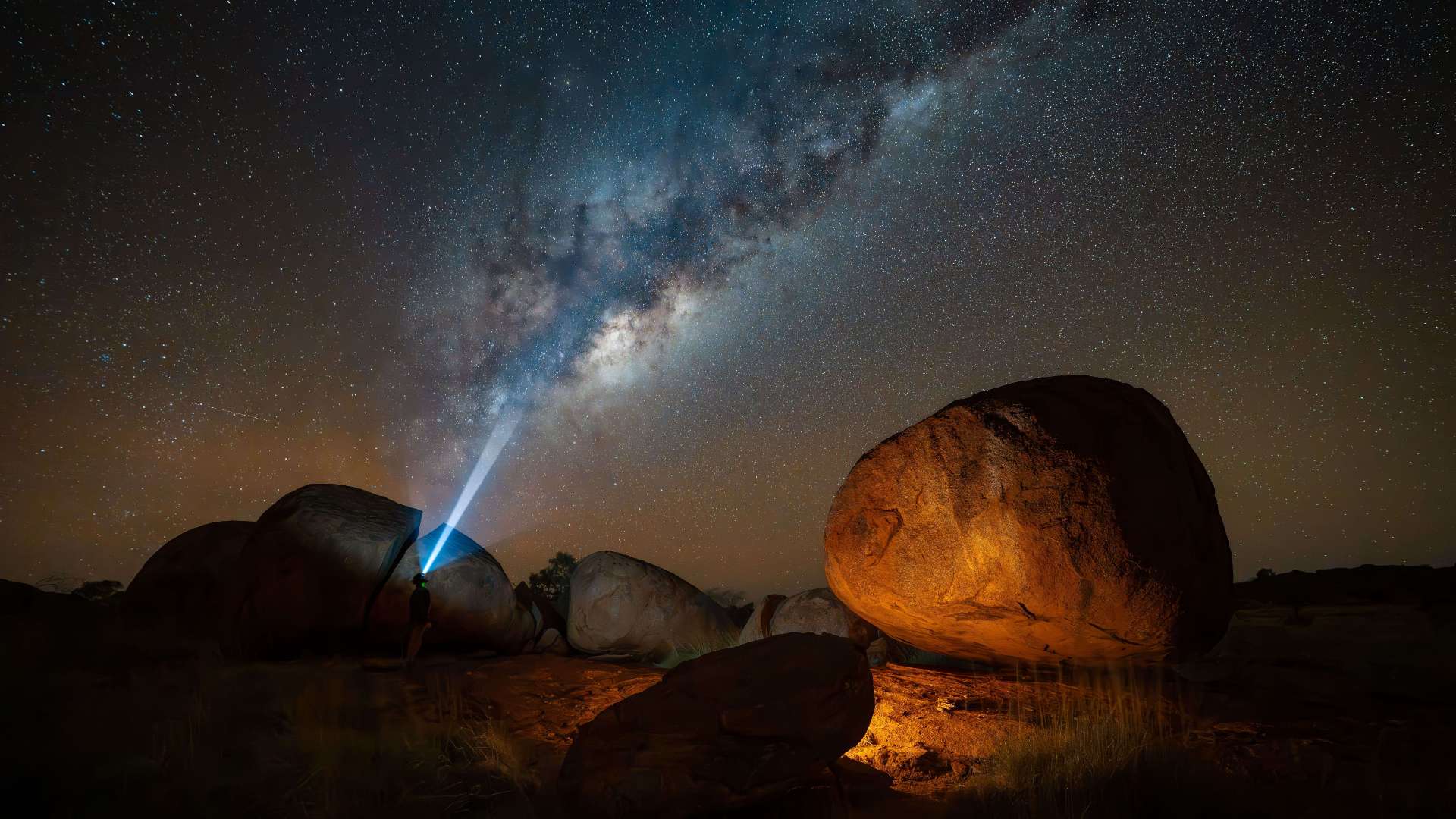 Tennant Creek & Barkly Region
 Arnhem Land
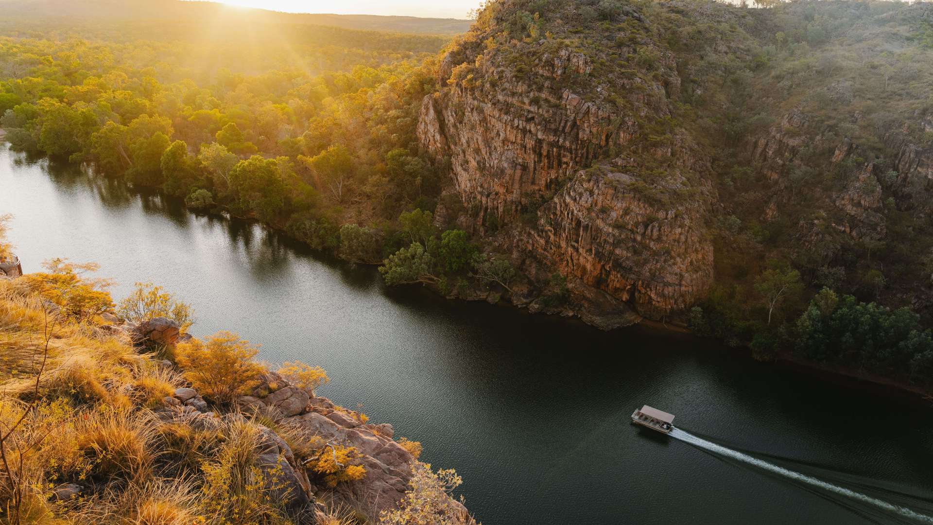 Katherine & Surrounds
 Canberra Region

Angourie Walking Track
 Make a Booking
Angourie Walking Track
Mara Creek Road, Angourie, New South Wales, Australia, 2464
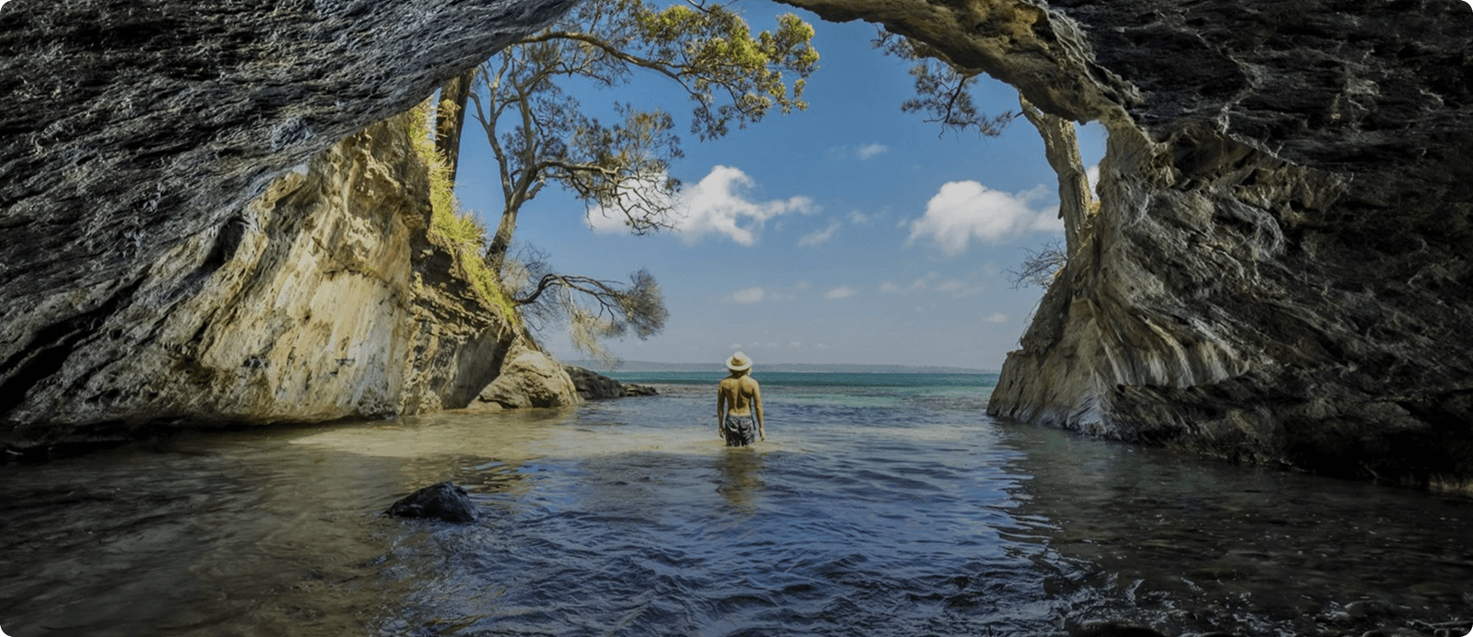
Angourie walking track is a moderately challenging route linking Mara Creek picnic area in the north with Shelley Headland in the south. This superb coastal hike passes through sections of coastland heath and along the seaward side of a ridge with views of sheltered bays and rocky shoals. Keep your binoculars handy for birds in the heath, as well as marine creatures – pods of dolphins, schools of sea mullet and bait fish, and migrating whales – often visible from this amazing vantage point. The route takes in a particularly scenic point called Dirrangan lookout.
At Shelley Headland, you can choose to turn back to tackle the 10km return hike of Angourie walking track, or do some fancy car shuffling and make it a one-way trip. Camping is available at Shelley Headland campground.
Angourie walking track is also part of Yuraygir coastal walk's Angourie to Brooms Head.
You might also like...
 Sunshine Coast Area, Queensland
1 / 1

Starting Planning your next thing With Us
Your next big adventure awaits, and Things to Do is here to help make that run smoothly! Join today and take advantage of our easy to use features.
Join Now